Driving the Grand Mesa Scenic Byway, Colorado
Updated June 2026, Driving the Grand Mesa Scenic Byway, Colorado was originally published in September 2024
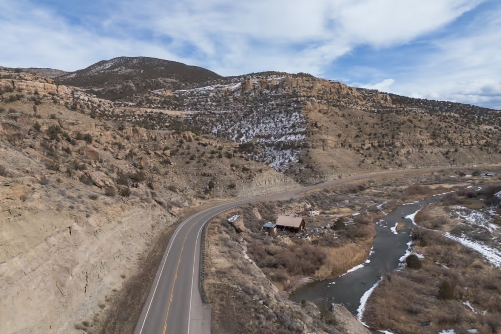
The journey along the Grand Mesa Scenic Byway begins in Mesa and winds through the stunning landscapes of Grand Mesa, Gunnison, and the Uncompahgre National Forests, concluding in Cedaredge.
Covering 63 miles, the road ascends through the canyon, reaching the pinnacle of the mesa at 11,000 feet above sea level.
The Grand Mesa Scenic Byway offers an array of scenery changes, starting in a desert canyon and transitioning through aspen foothills, lakes, alpine forests, lily ponds, and wildflower-filled meadows as you ascend. That is, if you visit in summer (I was posted up in nearby Grand Junction in the month of January).
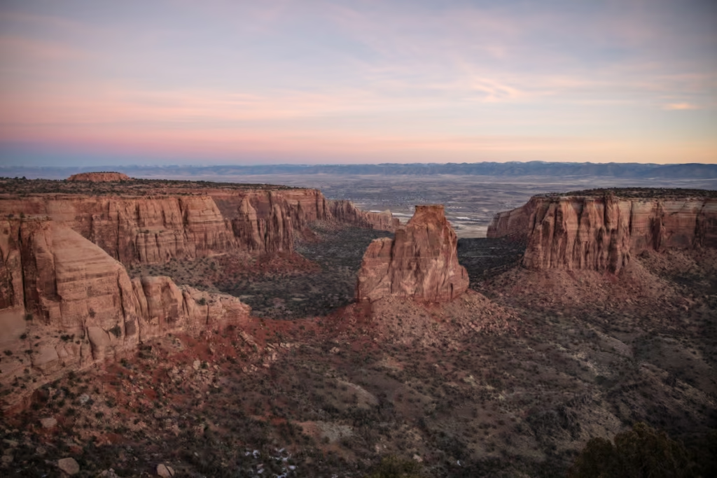
So, if you find yourself in western Colorado, the Grand Mesa Scenic Byway is definitely worth adding to your itinerary, along with a drive along Rim Rock Drive in Colorado National Monument nearby.
Need Travel Insurance and Evacuation Services?
Start shopping for travel insurance plans over at IATI Insurance. Readers of the Adventures of Nicole get a 5% discount off your plan.
The Adventures of Nicole partners with Global Rescue to offer the world’s leading medical evacuation and security advisory services. To travel with peace of mind, explore their evacuation coverage.
Where Does the Grand Mesa Scenic Byway Start & End?
The Grand Mesa Scenic Byway starts in Mesa and ends in Cedaredge, but you can drive the byway in either direction.
How Long Does it Take to Drive the Grand Mesa Scenic Byway?
Allocate at least an hour and a half along Highway 65, with an additional 30 minutes for the Land’s End stretch to fully appreciate the journey.
Is the Grand Mesa Scenic Byway Open Year-Round?
Generally, the main Grand Mesa Scenic Byway is open year-round. That said, some of the roads that turn off from it and lead to trailheads will close in winter due to snow.
Grand Mesa Scenic Byway Itinerary
Grand Mesa Scenic Byway Sign
Sure it’s kitschy, but why not start your journey by snapping a photo with the Grand Mesa Scenic Byway sign?
Plateau Canyon Bread Oven Site
Constructed in 1911, the Convicts’ Bread Oven is a concrete structure fashioned after traditional Mexican adobe ovens. Operating between April 1911 and July 1912, this oven played a crucial role in daily bread baking to sustain 30 state prison inmates and their guards.
The bread production served the workers engaged in road construction activities within Plateau Canyon during that period.
Mesa
Mesa sits along the Grand Mesa Byway and serves as the entry point to Grand Mesa, renowned as the largest flat-topped mountain in the world.
Downtown Mesa offers a handful of cafes, gift shops, and a country market where travelers can pick up any essentials for their journey.
Powderhorn Mountain
Located 4,000 feet above the Grand Valley floor sits Powderhorn Mountain Resort. If traveling along the Grand Mesa Byway in winter, you may want to budget for a day to ski or snowboard Powderhorn.
Not to worry if you’re visiting in the summer or fall as Powderhorn features a myriad of hiking trails, downhill mountain biking routes, and for those less active- scenic chairlift rides.
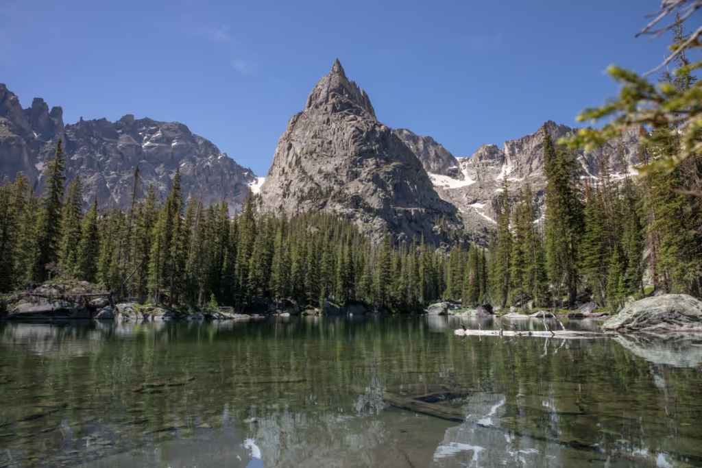
Mesa Lakes
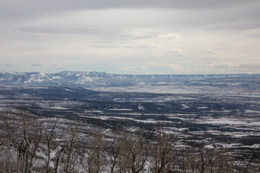
Perched atop the expanse of Grand Mesa lies a sprawling network of lakes and reservoirs dubbed “The Mesa Lakes.” Straddling Delta and Mesa Counties, this region boasts over 300 lakes and reservoirs, providing ample opportunities for trekkers and outdoor enthusiasts.
The majority of Mesa Lakes sit at elevations near 10,000 feet, ensconced within the breathtaking scenery of Grand Mesa National Forest.
Accessing this area requires a journey along the Grand Mesa Scenic Byway, offering numerous options for extended stays in cabins, hotels, and campgrounds.
Mesa Top Trailhead
The Mesa Top Trail meanders through groves of aspen and spruce forests, and verdant meadows. It leads to the southern edge of the Grand Mesa over the course of one mile.
Onward, the Mesa Top Trail continues southwest along the rim for about 4 miles. Along this stretch, it intersects with the Indian Point Trail and the Flowing Park Trail.
Along the Mesa Top Trail, you’ll be treated to views of Island Lake and the towns of Cedaredge and Delta.
Land O Lakes Overlook Trailhead
The Land O Lakes Overlook Trail is a paved half-mile walk on the southern side of the Grand Mesa.
The Land O Lakes Overlook features interpretive signs highlighting surrounding mountains and lakes.
Island Lake
Likely Grand Mesa’s most iconic lake, Island Lake stands as a dazzling gem.
Island Lake features a trail that traces the southern shoreline. It also has two campgrounds for those wanting to turn their trip along the Grand Mesa Byway into a multi-day venture.
Grand Mesa Visitor Center
Just across the Grand Mesa Byway from Island Lake sits the Grand Mesa Visitor Center.
The staff at the visitor center can give information on the Grand Mesa National Forest and can give maps and brochures on the area. It also features a gift shop.
Staff at the center lead nature hikes and local experts give informative presentations that cover both flora and fauna of the area.
Visitors can also procure recreation passes directly from the center.
From the Grand Mesa Visitor Center, you can also take on the short Discovery Trail.
Cedaredge
Cedaredge is the terminus of the other side of the Grand Mesa.
One of the main things visitors do in Cedaredge is visit Pioneer Town Museum showcasing the history of the area in addition to the Grand Mesa Welcome Center where you can pick up informative brochures and maps of Grand Mesa.
Have Any Questions About Driving the Grand Mesa Byway?
Ask in the comments section below.
Posts from Colorado
Two Week American Southwest Road Trip
Monarch Lake to Crater Lake Hike, Colorado
Rim Rock Drive in Colorado National Monument
Grand Mesa Scenic Byway, Colorado
Great Sand Dunes National Park, Colorado
Best Road Trips in the World
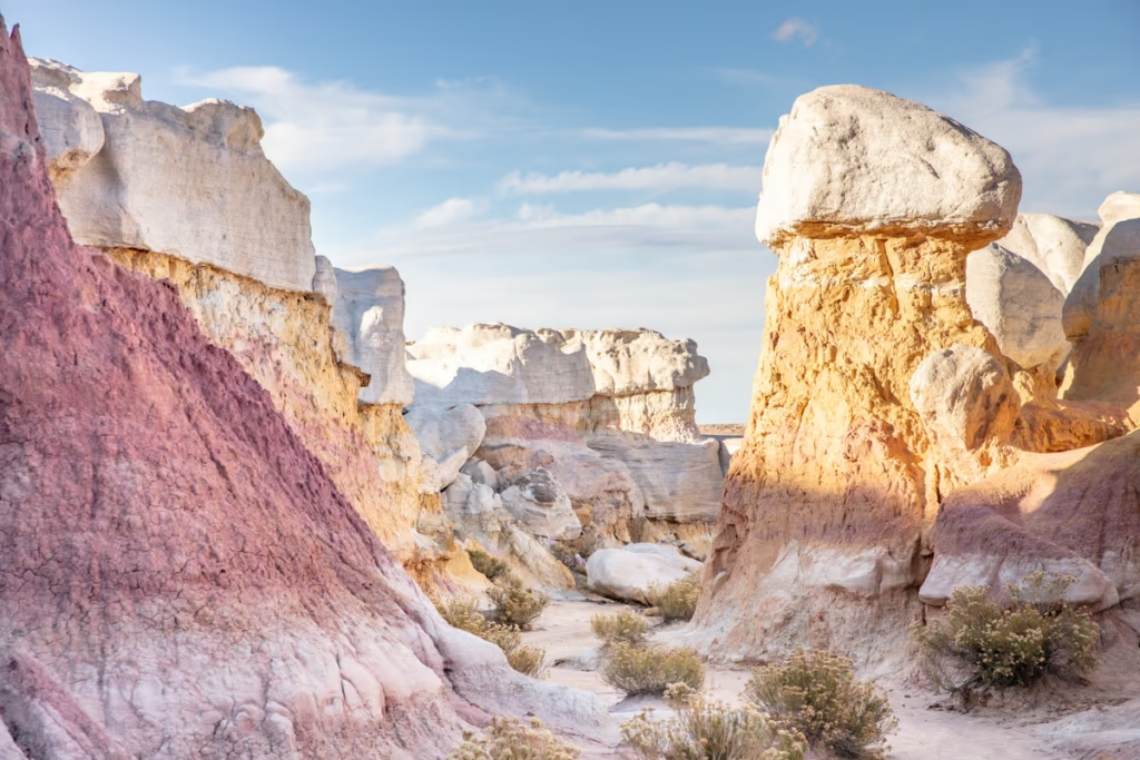
Visiting the Paint Mines in Colorado
A Guide to Colorado National Monument