
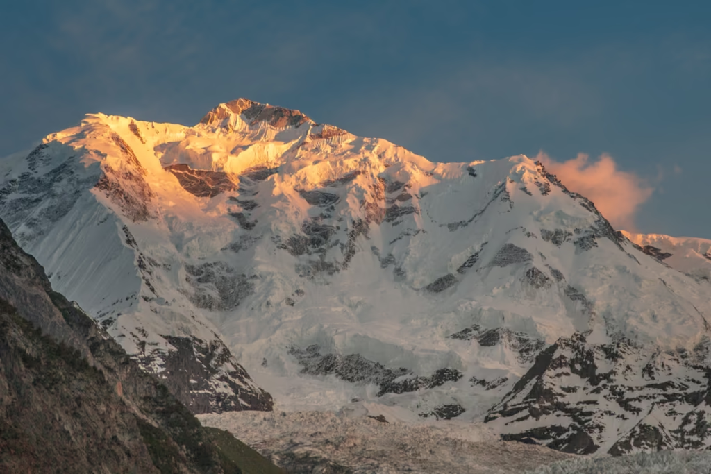
Gilgit-Baltistan Travel Guide
Updated October 2026, The Gilgit-Baltistan Travel Guide was originally written in August 2018
Gilgit-Baltistan is Pakistan’s mountainous northern frontier, where the Karakoram, Himalaya and Hindu Kush meet. Home to K2, the Karakoram Highway, Hunza Valley, Skardu, Fairy Meadows and some of the world’s highest trekking routes, the region is one of the best destinations in Pakistan for mountain travel.
I’ve traveled through Gilgit-Baltistan, including remote valleys that see far fewer visitors than Hunza and Skardu. This Gilgit-Baltistan travel guide covers everything you need to plan a trip, including when to go, how to get there, transportation, places to visit, trekking, accommodation, food, costs, visas, permits and safety.
Need visuals? Head over to my post: Gilgit-Baltistan in photos
Need Travel Insurance and Evacuation Services?
Start shopping for travel insurance plans over at IATI Insurance. Readers of the Adventures of Nicole get a 5% discount off your plan.
The Adventures of Nicole partners with Global Rescue to offer the world’s leading medical evacuation and security advisory services. To travel with peace of mind, explore their evacuation coverage.
- Gilgit-Baltistan at a Glance
- Money in Gilgit Baltistan
- Languages in Gilgit Baltistan
- Religion in Gilgit Baltistan
- What to Wear in Gilgit-Baltistan
- Best Time to Visit Gilgit-Baltistan
- Getting Around in Gilgit Baltistan
- How to Get to Gilgit-Baltistan
- Pakistan Visa Requirements
- Food in Gilgit Baltistan
- Where to Stay in Gilgit-Baltistan
- Best Things to Do in Gilgit-Baltistan
- Where to Go in Gilgit Baltistan
- Trekking & Mountaineering in Gilgit Baltistan
- Festivals in Gilgit Baltistan
- Guides & Tour Operators in Gilgit Baltistan
- Gilgit-Baltistan Travel Budget
- Packing List for Gilgit Baltistan
- Online Resources & Handy Apps
- Internet & SIM Cards in Gilgit-Baltistan
- Is Gilgit-Baltistan Safe?
- Gilgit-Baltistan Travel Tips
- Gilgit-Baltistan Itinerary
Gilgit-Baltistan at a Glance
- Country: Pakistan
- Capital: Gilgit
- Currency: Pakistani Rupee (PKR)
- Languages: Shina, Balti, Burushaski, Wakhi, Khowar, Urdu and others
- Main tourist areas: Hunza, Nagar, Ghizer, Gilgit, Skardu, Astore, Diamer, Shigar and Ghanche
- Highest peak: K2, 8,611 m
- Main road: Karakoram Highway (N-35)
- Best time to visit: May to October for most travelers
- Best months for trekking: June to September, depending on the route
- Main airports: Gilgit and Skardu
Money in Gilgit Baltistan
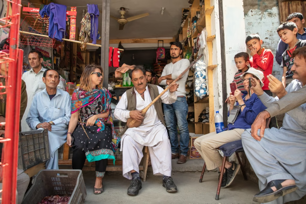
Pakistan uses the Pakistani Rupee (PKR or Rs). ATMs are available in Gilgit and other larger towns, but don’t rely entirely on cards when traveling into remote valleys. Carry enough Pakistani rupees for transport, accommodation, food and other expenses between larger towns.
USD is generally the easiest foreign currency to exchange. If you’re traveling between Pakistan and China, Sost is the most useful place to exchange Pakistani rupees and Chinese yuan.
Tipping isn’t generally expected in Gilgit-Baltistan, although a small tip for good service is appreciated, particularly by guides, drivers and tourism workers.
Languages in Gilgit Baltistan
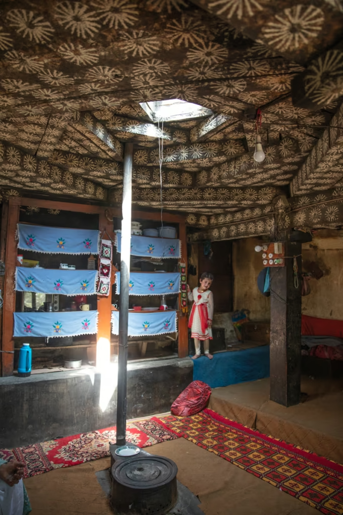
Gilgit-Baltistan is one of the most linguistically diverse parts of Pakistan. Shina, Balti, Burushaski, Khowar, Wakhi, Domaki, Gujari, Pashto and several other languages are spoken across the region. Urdu and English are also widely used, particularly in tourism.
Language varies considerably from valley to valley. Shina is common around Gilgit, while Balti is dominant in Baltistan, Wakhi is widely spoken in Upper Hunza and parts of Gojal, and Burushaski is associated particularly with Hunza and Nagar.
Religion in Gilgit Baltistan
Islam is the predominant religion in Gilgit-Baltistan, with significant Shia, Sunni and Ismaili Muslim communities. Religious and cultural traditions vary between valleys, so travelers should dress respectfully and be mindful of local customs, particularly when visiting villages and religious sites.
What to Wear in Gilgit-Baltistan
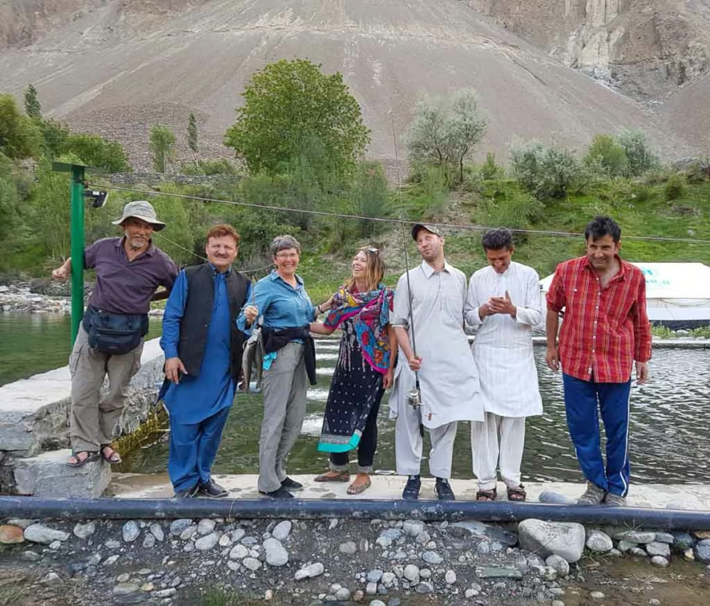
Gilgit-Baltistan is relatively conservative, particularly outside the main tourist centers, so modest clothing is the easiest choice. I recommend buying a shalwar kameez after arriving in Pakistan. They’re comfortable, practical and much better suited to the local environment than trying to spend your trip sweating in jeans.
In towns, trousers and long-sleeved shirts are a good default. Women should consider long tunics worn over trousers and carry a scarf. You generally won’t be expected to cover your hair, but having a scarf available is useful when visiting religious or conservative areas.
For trekking, pack according to altitude and season rather than relying on your town clothes. Temperatures can change dramatically between valleys and at higher elevations.
Best Time to Visit Gilgit-Baltistan
The best time to visit Gilgit-Baltistan depends on where you want to go. For most travelers, May to October offers the best combination of accessible roads, open valleys and relatively reliable weather. Trekking and high mountain routes generally have a shorter season.
Spring: April-May
Lower valleys begin to turn green and Hunza is famous for its apricot and cherry blossom. Higher passes can remain snowbound.
Summer: June-August
This is the main trekking and tourism season. Deosai, high passes and many trekking routes become accessible, but July and August can bring heavier rain, landslides and larger domestic crowds.
Autumn: September-October
One of my favorite times to travel through the region. The weather is often crisp, poplar trees turn golden and the biggest summer crowds begin to disappear.
Winter: November-March
Snow closes many high-altitude roads and trekking routes, and some accommodation and transport services shut for the season. Lower valleys such as Gilgit can still be visited, while places such as Naltar become winter destinations for skiing.
Getting Around in Gilgit Baltistan
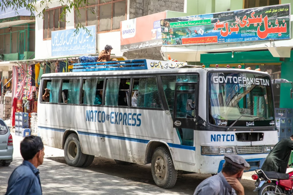
Getting around Gilgit-Baltistan is part of the adventure. Public buses, vans, shared cars and private jeeps connect the major towns, while a jeep and driver are often the easiest option for remote valleys and trekking trailheads.
NATCO (Northern Area Transport Corporation) is one of the main transport operators in the region, but services and schedules can change. For remote valleys, ask locally about current road conditions and transport before setting off.
Distances that look short on a map can take hours because roads follow narrow valleys, mountain passes and rivers. Build extra time into your itinerary, particularly during summer when landslides and road closures can disrupt travel.
If you don’t want to deal with the logistics of getting arounf Gilgit Baltistan, I would recommend arranging with a tour operator.
How to Get to Gilgit-Baltistan
Most international travelers reach Gilgit-Baltistan through Islamabad, either by flying to Gilgit or Skardu or traveling north by road along the Karakoram Highway.
By Road
The Karakoram Highway (N-35) is the main road connecting Gilgit-Baltistan with Islamabad to the south and China to the north. The road passes through major destinations including Chilas, Gilgit, Hunza and Sost.
From Islamabad, road journeys to Gilgit can take roughly a full day or longer depending on road conditions, traffic, construction and stops. The journey is spectacular, but don’t treat the estimated driving time as a guarantee.
For those coming from Islamabad/Rawalpindi by bus, the journey to Gilgit will take roughly 19 hours.
From China
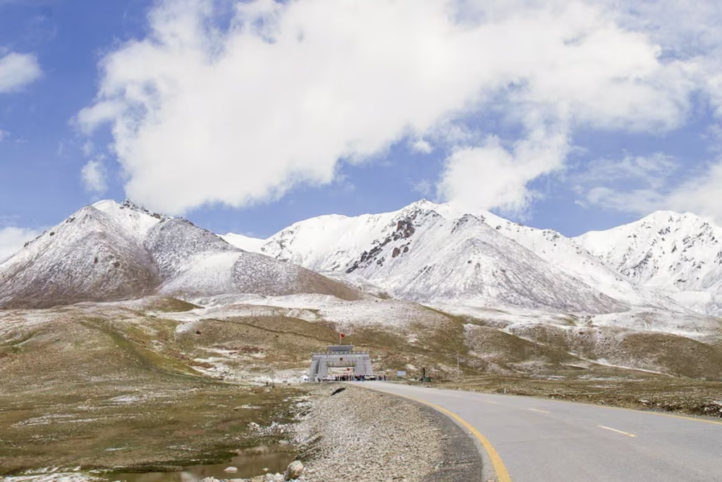
Khunjerab Pass connects Pakistan’s Gilgit-Baltistan with China’s Xinjiang region. Travelers crossing from China normally pass through Tashkurgan and the Khunjerab border before continuing to Sost and the Upper Hunza Valley.
Border procedures, opening dates, transport and requirements can change, so check the latest information before attempting the crossing.
Expect the journey to take about 6 hours from Tashkurgan to the Pakistani border post at Sost. You can book buses either with NATCO or Hunza Xinjiang Trading & Tourism from the bus station in Tashkurgan.
You will need to clear Chinese customs and immigration in Tashkurgan before boarding your bus (which will leave from the Khunjerab Port where you clear customs/immigration). From there it’s about 3 hours to the actual border crossing fence to Pakistan. From the fence expect about 3 hours of travel time to arrive in Sost.
From Sost you can find buses bound for the Hunza Valley, Gilgit, Skardu, Chilas, Astore, and beyond.
One thing to note is that you will have to get out and pay the Khunjerab National Park fee on the way to Sost. You can pay the fee in Pakistani Rupee, Chinese Yuan, or US Dollars.
Read: Everything you need to know to cross the border at Khunjerab Pass
By Air
Flights connect Islamabad with both Gilgit and Skardu. The flight to Gilgit is particularly spectacular, but mountain weather can cause delays and cancellations, so leave a buffer in your itinerary if you have onward international travel.
Skardu has become an increasingly important gateway to Baltistan, while Gilgit is the more convenient starting point for Hunza, Nagar and Ghizer.
Pakistan Visa Requirements
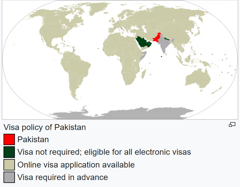
Most foreign travelers need a visa to enter Pakistan, although requirements and eligibility vary by nationality. Pakistan’s visa process is handled through the official Pakistan Online Visa System.
Check the current requirements for your nationality before booking travel, as visa fees, eligible nationalities, processing procedures and supporting-document requirements can change.
Permits & Special Permissions
Most popular tourist destinations in Gilgit-Baltistan can be visited without a separate tourist permit, but rules can vary by location and can change with little notice. Remote trekking routes, border areas and other sensitive locations may require additional permissions, guides or registration.
Always check current requirements locally before heading into remote valleys or toward international borders.
Food in Gilgit Baltistan
Food is one of my favorite reasons to travel through Gilgit-Baltistan. The region has its own distinctive dishes alongside the Pakistani staples you’ll find throughout the country. Hunza, in particular, has a strong local food culture built around wheat, dairy, meat, fruit and mountain agriculture.
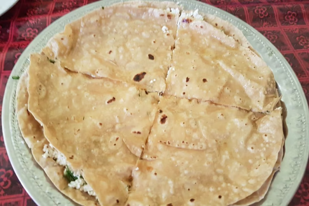
Gholmandi: A filling of locally made cheese, coriander, and chives between two buttery chapatis. This is my absolute favorite.
Chapshuru: Meat, onion, chili, tomatoes, and coriander inside a thin dough. It looks similar to a calzone.
Shisar: A fried pastry-like snack made of wheat flour mixed with egg. Similar to fry bread or langos.
Rishoki: Like a pancake or crepe made of egg and wheat flour, dipped in butter. Can be savory or sweet.
Guli: Flatbread of wheat flour covered in heaps of butter.
Mantu: Steamed dumplings usually filled with meat, onion, garlic, and peppers.
Local Fruits: You can buy fresh local fruits (during the season of course) from people on the side of the road. Make sure and try the mulberries, apricots, cherries, plums, and grapes when in season.
Chai: Chai accompanies every meal, and also be ready for plenty of chai stops in your travels as well.
Where to Stay in Gilgit-Baltistan
Accommodation ranges from basic village guesthouses and family-run homestays to comfortable hotels and resorts. Gilgit, Karimabad, Hunza, Skardu and other major tourist centers have the widest selection, while remote valleys may have only a handful of guesthouses.
In smaller villages, staying with a local family can be one of the most memorable parts of traveling through Gilgit-Baltistan. Don’t expect the same amenities or internet speeds you would find in Pakistan’s major cities. Search guesthouses and hotels on booking.
Best Things to Do in Gilgit-Baltistan
- Explore Hunza Valley
- See the Passu Cones
- Visit Attabad Lake
- Visit Baltit Fort and Altit Fort
- Drive the Karakoram Highway
- Explore Skardu
- Visit Deosai National Park
- Hike around Fairy Meadows and Nanga Parbat
- Trek to K2 Base Camp and Concordia
- Explore Ghizer and Phander Valley
- Visit Shandur Pass
- Explore Astore Valley
- Visit Naltar Valley
- Explore Shigar and Khaplu
- Trek in the Himalaya, Karakoram and Hindu Kush
- Attend a polo festival
- Try local Gilgit-Baltistan food
Where to Go in Gilgit Baltistan
Gilgit-Baltistan is one of the most beautiful parts of Pakistan known for its massive mountain peaks. If you hate stunning mountain sceneries, sparkling lakes, welcoming people, and great food you probably should have stopped reading this travel guide a long time ago.
Gilgit
Gilgit City: The central travel hub for Gilgit-Baltistan and largest town along the Pakistani KKH. The main reasons to come to Gilgit is to exchange or get money out of an ATM, stock up on supplies/do some shopping, or spend a night between adventures. Gilgit City is accessible by road and plane.
The KKH connects the city with Xinjiang Province and China all the way south to Islamabad. Daily flights connect Gilgit to Islamabad.
Sost: Border town along the KKH in the Upper Hunza (Gojal) Valley. If arriving from China, Sost will be your first stop. Sost is the customs and immigration point for those coming from or heading to China.
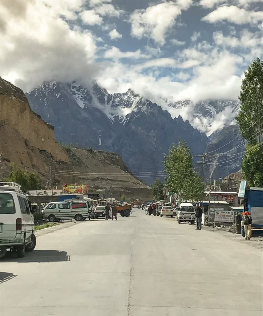
Shimshal: Village in the north of Gilgit inhabited by Wakhi people. Several multi-day treks can be done from here including the most well-known in the area to Shimshal Pass. Note that most trekking in the Shimshal area requires prior permission, contact a local tour agency to arrange them.
Hunza & Nagar Valleys: Hunza and Nagar were formerly princely states until 1974. The Hunza Valley is a big draw for tourists to Gilgit-Baltistan.
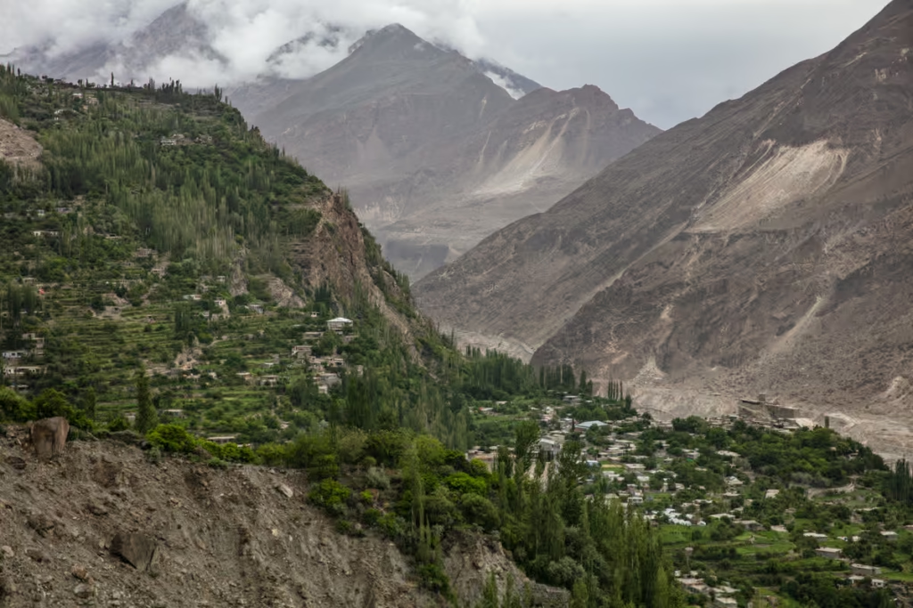
Nagar Valley is located just south of Hunza Valley as you make your way down the KKH. From the Nagar Valley, you will have amazing views of Rakaposhi- the 27th tallest mountain in the world from the highway.
A few of the places to visit in the valley include:
- Passu Cones & Glacier
- Hussaini Bridge
- Baltit Fort & Karimabad
- Attabad Lake
- Hopar
- Barpu Glacier
Ghizer
Ishkoman Valley: Home to 20 villages that sit along the Ishkoman River at the bottom of the valley that lies between the Hindu Kush to the west and Karakorams to the east. There are several treks that can be done from Ishkoman Valley including a trek up Chillinji Pass to join the Chipursan Valley, and eventually back to the KKH near Sost, a trek connecting Imit to Darkot in Yasin Valley as well as another connecting Chatorkhand with Yasin Valley, and even a trek up the Karumbar Pass taking you to Karumbar Lake near the border with the Wakhan Corridor of Afghanistan. Another trek that can be done from Chatorkhand and Pakora up to Pakora Pass to reach either Nagar or Chalt.
Trekking to Asumber Pass between Asumber Village in Ishkoman Valley and Sandhi Yasin in Yasin Valley is another hike connecting to the two valleys. Another scenic hiking option is to hike from Gotulti in the upper Ishkoman Valley to Attar Lakes, up over Attar Pass to reach Darkhot in the upper Yasin Valley. Ishkoman Valley is accessible by road from the town of Gakhuch.
Guesthouses are available in Ishkoman Valley, including the newly opened Royal Guest House Birgal.
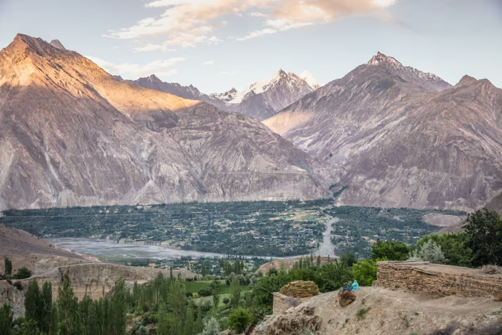
Yasin Valley: Just west of the Ishkoman Valley lies Yasin. Yasin has been historically important because it allowed access to Broghil Pass into Afghanistan’s Wakhan Corridor and to Chitral in Pakistan’s Khyber-Pakhtunkhwa Province. Yasin is reachable by road from the town of Gupis.
There are several treks that connect Ishkoman and Yasin Valleys together (see Ishkoman section above for quick descriptions).
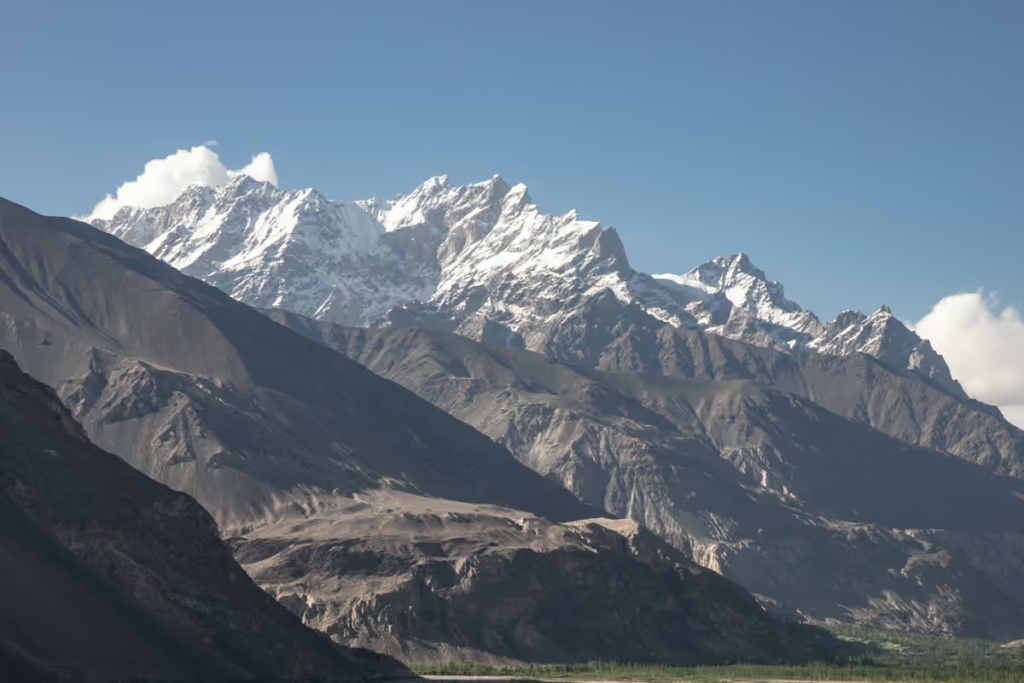
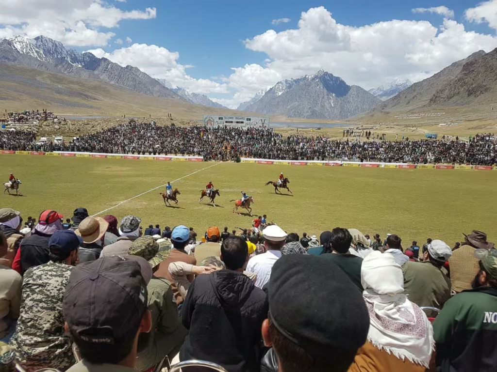
Shandur Pass: Shandur Pass is in the far western fringes of Gilgit-Baltistan’s Ghizer District connecting it to Chitral in Khyber-Pakhtunkhwa Province. Shandur Pass is famous as it is home to the Shandur Polo Festival each year held in July. Shandur Polo Festival is the highest polo festival in the world.
Phandar Valley: Located 60 kilometers west of Gupis, Phandar Valley is green, lush and surrounded by mountains. Access to the valley is possible by road from both Gilgit or from Chitral.
Skardu
Skardu: Skardu is the capital of Baltistan District and the jumping off point for adventures into the Karakoram Mountains. Skardu can be reached by road from Gilgit and Islamabad, as well as by daily flights from Islamabad. Nearby things to do in the Skardu Valley include:
- Kharpocho Fort
- Shangril-La Lake
- Sand Dunes along the Indus River
- Sartpara Lake
Shigar Valley: The gateway to K-2, G-I, G-II, G-III, G-IV, Broad Peak and more massive mountains in the Karakorams. Expeditions and basecamp treks leave from the town of Askole. Reachable by road from Skardu.
Kharmang Valley: Located about 100 kilometers southeast of Skardu by road. Attractions here include:
- Manthokha Waterfall
- Mehdiabad Valley
- Khamosh Waterfall
- Mehdiabad Nala
Khaplu Valley:
The jumping off point for expeditions to Masherbrum Peak, K-7, K-6, Chogolisa and more peaks in the Karakoram. Located about 100 kilometers east of Skardu and accessible by road. There are several lakes to trek to along the Khaplu Valley as well.
Astore
Astore Valley is one of the main gateways to Deosai and some of the region’s most spectacular alpine landscapes. Rama Valley, Rama Lake and routes toward Minimarg and Domail are among the main draws.
Diamer
Joot (Fairy Meadows): A beautiful grassland located near the basecamp for Nanga-Parbat’s Rakhiot Face. From Chilas you will continue along the KKH to the Rakhiot Bridge and drive another 12 kilometers to Tato Village. From Tato trek 5 kilometers to Fairy Meadows.
There are lodges available in Fairy Meadows but you can pitch a tent as well.
Trekking & Mountaineering in Gilgit Baltistan
Gilgit-Baltistan is one of the world’s great trekking and mountaineering destinations. Routes range from relatively straightforward day hikes to serious high-altitude expeditions requiring technical experience, acclimatization and local support.
Popular treks include:
- Fairy Meadows & Nanga Parbat Base Camp
- K2 Base Camp & Concordia
- Rakaposhi Base Camp
- Passu Glacier
- Borith Lake
- Shimshal Pass
- Malik Pass in Deosai
- Chillinji Pass
- Karumbar Lake
- Attar Lakes and Attar Pass
Festivals in Gilgit Baltistan
- Yasin Spring Festival: This spring festival in the Yasin Valley is held every year typically between the first and second weeks of March celebrating the start of the new year and upcoming spring.
- Nowruz: Persian New Year. Celebrated on the first day of spring (March 20-22, depending on the year).
- Shandur Polo Festival: The highest polo tournament in the world, held at Shandur Pass usually on the second weekend in July. In 2019 it will take place July 8-10.
- Harvest Festival: Dates differ village to village but celebrations fall between June 21 and July 12. Celebrates the beginning of harvest.
- Babusar Polo Festival: A freestyle polo tournament held in the Babusar Pass each year in August. Dates can vary.
- Independence Day: Pakistan’s Independence Day. Held August 14.
- Gilgit-Baltistan Independence Day: Celebration to mark the end of the Dogra Regime. Held on November 1.
- Thumushalling Festival: Celebrating the death of the last Buddhist king of Gilgit. Bonfires and dancing are a part of this celebration held mostly in Hunza, Ishkoman, and Gilgit Valleys on December 21.
Guides & Tour Operators in Gilgit Baltistan
Independent travel is possible in many parts of Gilgit-Baltistan, but hiring a local guide or driver becomes increasingly useful for remote valleys, trekking routes and areas where permits or local permissions are required. Hindukush Karakoram Tours & Treks is a great choice.
Gilgit-Baltistan Travel Budget
Costs can vary widely in Pakistan depending on your travel style, and whether or not you will be required to book a tour in the country. While some may scrape by on less than 1,850 PKR per day, others may have a budget of 18,500 PKR per day or more. Here are some ideas of costs in the region:
- Hotel room: Expect prices to ring in around 3,500-100,000 PKR per night.
- Guesthouse: You can find dirt cheap rooms as little as 800 PKR per night. Most will range around 1,000-3,000 PKR per night. For those looking to really save on accommodation, you can try Couchsurfing.
- Local Transport: Depends on distance, but most transport should cost between 500 and 1,500 PKR between destinations in Gilgit-Baltistan. For longer journeys (Islamabad and beyond) expect prices to be 1,800 to 3,000 PKR.
- Jeep Hire: Expect to pay 6,000-7,000 PKR per day for a jeep and driver.
- Meals: For simple Pakistani meals you can expect to pay 150-200 PKR per meal, more for fancier restaurants.
- National Parks & Historic Sites: 500-800 PKR.
- Guided Tours: Expect most guided tours to cost in the range of $150-200 per day. Of course this typically would include guide, accommodation, meals and transport.
Packing List for Gilgit Baltistan
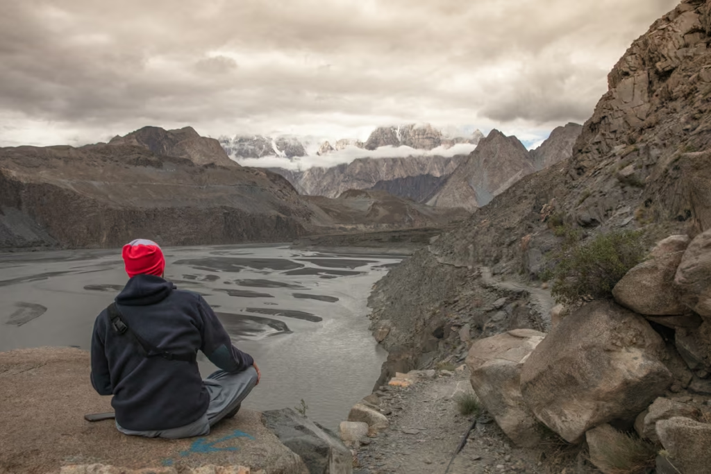
- Inreach Explorer+– A GPS and SOS beacon that can send text messages as well. Garmin offers reasonable monthly rates. Great for those planning to trek in remote areas.
- Solar charger– Keep your gadgets charged when camping and trekking.
- External battery pack– Good for keeping gadgets charged on long bus rides and when the electricity cuts out.
- Backpack– I recommend the Osprey Ariel 65L backpack
- Daypack– My personal favorite is the Osprey Hikelite Plus.
- 3 Season tent– I use the MSR NX Hubba-Hubba solo tent.
- Sleeping bag– Useful for trekkers & cyclists. I use a Nemo sleeping bag cold rated to 20ºF/-7ºC.
- Hiking Boots– My personal favorite are the La Sportiva Trango Tech hiking boots.
- Lightweight cooking camp set– For trekkers and cyclists that plan to prepare their own meals.
- Water Purifier– I personally use the Katadyn water filter.
- Trekking Poles– Useful for the steep scree slopes and river crossings you may encounter.
- Headlamp– Useful while camping, and for power outages.
- Sunscreen– Many places you’ll visit in Gilgit-Baltistan are at higher altitudes leaving you more susceptible to sunburn.
- Mosquito Repellant– Recommended in the summertime.
- Prescription & over-the-counter medications.
- Toiletries
Pakistan Guide Books
- Pakistan Traveller– Available in both paperback and digital download.
Online Resources & Handy Apps
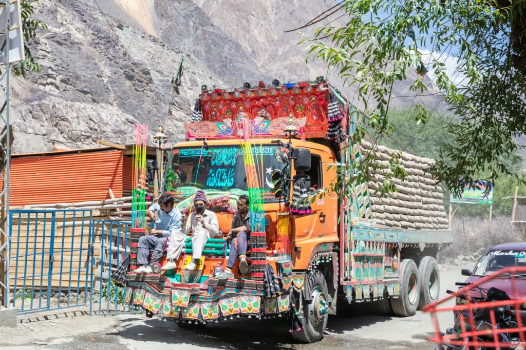
- Lost With Purpose: Alex is essentially the queen of solo female travel in Pakistan (I mean, the boys can get pretty much all necessary info from her too).
- Root Network: Led by Alex, Aneeqa, Laila, Sara, and Turfa, the Root Network aims to ensure a sustainable future for the tourism industry of Pakistan.
- The Karakoram Club: Great Facebook group to see photos of the area and meet locals as well as other travelers.
- Backpacking Pakistan: Another good Facebook group. Great resource for Pakistan travel, asking questions, and meeting other travelers.
- Maps.me: Download on your mobile phone. This is an easy to use offline map.
Internet & SIM Cards in Gilgit-Baltistan
If you’re heading into remote trekking areas, don’t rely on mobile service. Carry offline maps and consider a satellite communication or SOS device.
Internet access varies dramatically across Gilgit-Baltistan. Hotels and guesthouses in major towns usually have Wi-Fi, but speeds can be slow and connections may disappear entirely in remote valleys.
A local Pakistani SIM is useful if you need mobile data. Coverage varies by valley and provider, so ask locally which network currently works best where you’re heading rather than assuming one SIM will work everywhere.
Is Gilgit-Baltistan Safe?
Gilgit-Baltistan is a popular destination for both Pakistani and international travelers, but it should not be treated as risk-free. Conditions can vary between districts and can change quickly, particularly near sensitive border areas.
For most travelers, the biggest practical risks are road accidents, landslides, altitude, severe weather and getting stranded in remote areas rather than ordinary tourist crime.
Check current government travel advice before your trip, stay informed about local conditions and allow flexibility in your itinerary.
Road Safety
Mountain roads are often narrow, exposed and affected by landslides, rockfall and construction. Use experienced local drivers and avoid unnecessary night travel on unfamiliar mountain roads.
Altitude
Many destinations sit at high elevation, while trekking routes and mountain passes climb considerably higher. Acclimatize gradually and take altitude illness seriously.
Weather
Mountain weather can change rapidly. Rain can trigger landslides in summer, while snow can close high passes and roads in winter.
Security Checkpoints
Checkpoints are common. Carry copies of your passport and visa and follow instructions from local authorities.
Remote Trekking
Don’t underestimate the remoteness of many routes. Carry navigation equipment, adequate food and water, appropriate clothing and emergency communication.
Gilgit-Baltistan Travel Tips
- Carry passport and visa copies.
- Keep extra cash outside major towns.
- Expect frequent security checkpoints.
- Build buffer days into your itinerary.
- Don’t assume mountain roads will remain open.
- Download offline maps before leaving towns.
- Dress conservatively outside major tourist centers.
- Ask locally about current road and security conditions.
- Don’t photograph military installations or checkpoints.
- Border areas can have additional restrictions.
Gilgit-Baltistan Itinerary
7 Days in Gilgit-Baltistan
Day 1: Gilgit
Day 2: Gilgit → Hunza
Day 3: Karimabad, Altit & Baltit
Day 4: Passu & Upper Hunza
Day 5: Attabad Lake & Khunjerab Pass
Day 6: Hunza → Gilgit
Day 7: Gilgit / onward travel
With 10-14 days, I’d add Ghizer, Skardu or Fairy Meadows rather than trying to cram everything into one trip.
Have any Questions About Visiting Gilgit-Baltistan?
Ask all of your questions about Gilgit-Baltistan in the comments section below.
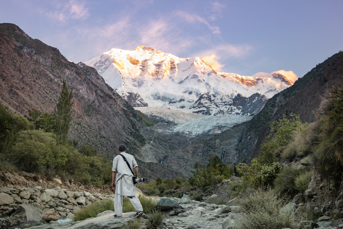
Really useful guide to Gilgit-Baltistan. For a 10–12 day trip, a loop like Islamabad to Hunza via the KKH, then across to Skardu via the Gilgit–Skardu road, avoids backtracking and lets you see both valleys. Keep a spare day or two for weather or landslides, and if flying to Skardu, have a road backup since flights are often cancelled.