Hiking Mount Circeo in Italy’s Lazio Region
Updated March 2026, Hiking Mount Circeo in Italy’s Lazio Region was originally published in May 2020
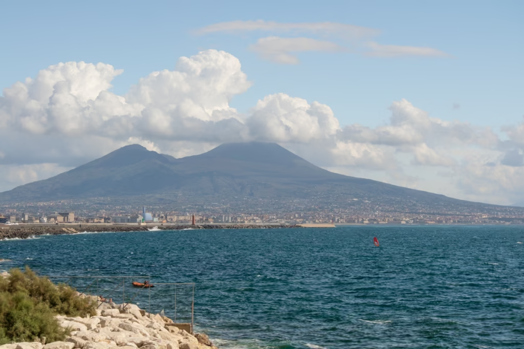
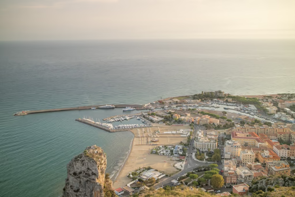
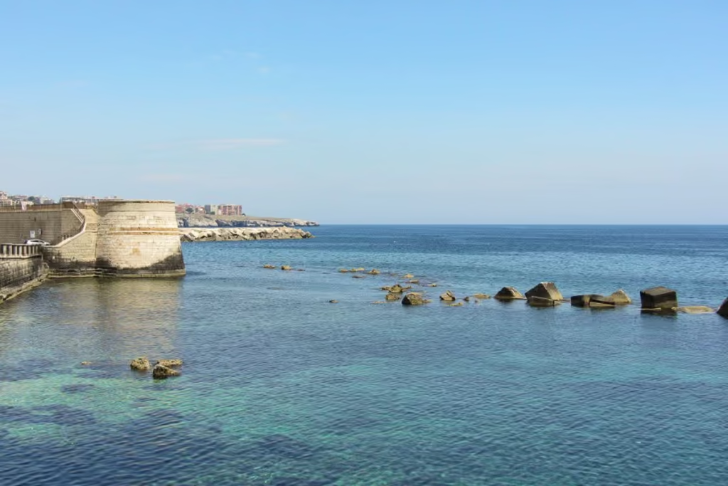
Back in 2018, I spent a chunk of time temporarily living in an Italian town named Terracina, located on Lazio’s Tyrrhenian Coast, about halfway between Rome and Naples.
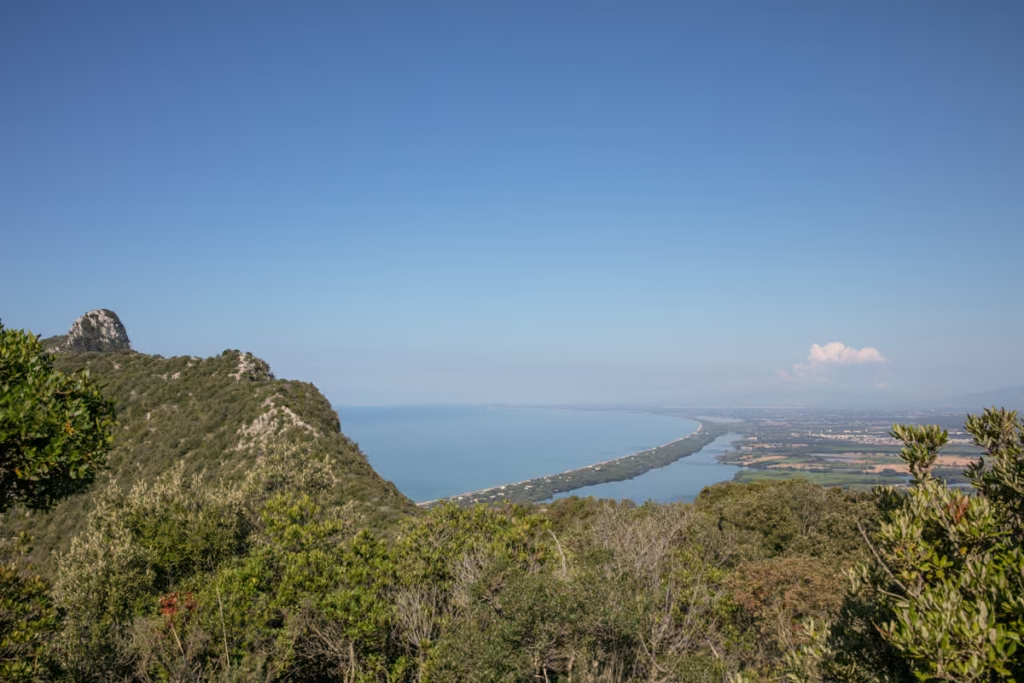
A gaze to the west from the Terracina beachfront and it looked like a mountain seemingly rose right out of the sea. This is Mount Circeo, a rocky promontory that juts out of the sea and toward the sky, located between San Felice Circeo and Sabaudia.
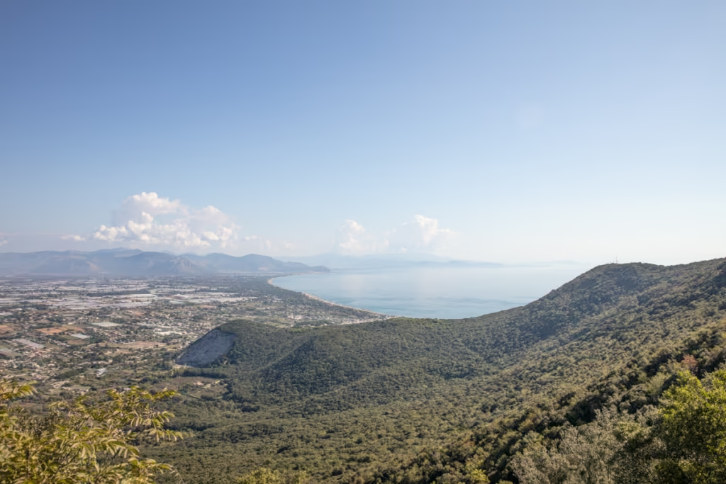
Technically a headland, Mount Circeo is surrounded on three sides by water and offers stunning views of what’s left of the ancient Pontine Marshlands, most of which has been reclaimed as agriculture and housing.
Part of the National Park of Circeo, which includes Mount Circeo, the remainder of the Pontine Marshes, the Sabaudia Sand Dunes, the last relics of the Selva di Terracina Forest, and Isola Zannone.
For those that want to get out and explore the park, the Mount Circeo Hike makes for a great day hike, whether you plan to hike it straight through from one town to the other, or up to the top and back down from whence you came.
In this quick guide, you’ll learn everything you need to know before taking on the Mount Circeo Hike.
Looking for off the beaten path Italy? Check out my list of Italy’s best hidden gems
Need Travel Insurance and Evacuation Services?
Start shopping for travel insurance plans over at IATI Insurance. Readers of the Adventures of Nicole get a 5% discount off your plan.
The Adventures of Nicole partners with Global Rescue to offer the world’s leading medical evacuation and security advisory services. To travel with peace of mind, explore their evacuation coverage.
The Mount Circeo Hike
I’m going to explain the hike in the direction I did it, which was from San Felice Circeo to Sabaudia, but this hike can easily be down in either direction.
The Mount Circeo hike I would rank between easy and moderate as there are some areas of the trail where you need to be careful as there are steep sections and loose rock. The lower section of the trail between Picco di Circe and Torre Paola can get quite muddy and slippery if there have been any recent rains.
Check out my guide to Terracina, Italy

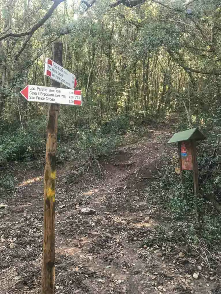
The great thing about the Mount Circeo hike, as well as many of the other hikes and walks in the National Park of Circeo, is that the trails are marked with red paint.
Looking for a great Italian getaway nearby? Check out my guide to Sperlonga
The Start of the Mount Circeo Hike from San Felice Circeo
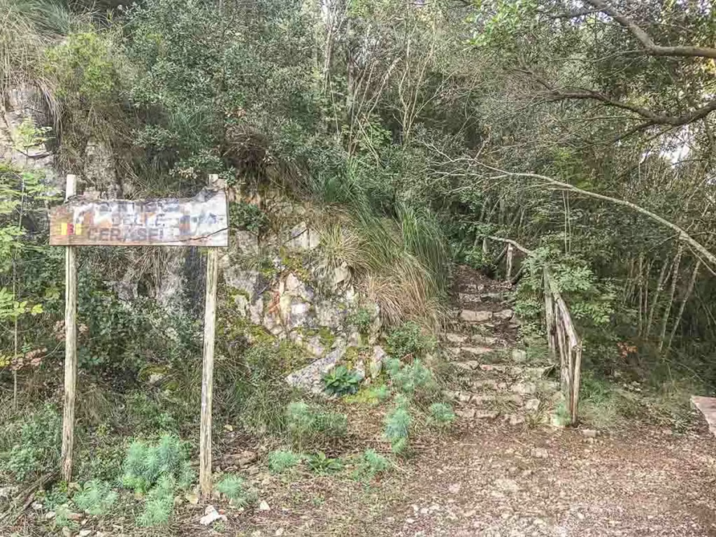
You’ll first need to get to San Felice Circeo, which I will give details for later. Once to San Felice Circeo, you’ll walk through town (you may want to allow some time for exploring San Felice Circeo as the Centro Storico is gorgeous).
From Via del Faro, you’ll continue onto Via Acropoli. From here, you can follow a trail through the forest that will connect to the Via Acropoli higher up, or you can just follow the Via Acropoli up. There are signs with arrows and distances along the trail, so it’s pretty straightforward.
Planning a trip to Italy’s south? Check out my Southern Italy road trip itinerary
Acropoli di Circeii
You’ll eventually reach a roundabout in the Via Acropoli. This is the Acropoli di Circeii, the remains of a fortified cyclopean wall that once served as the citadel of Circeii, which predated San Felice Circeo. The acropolis is thought to date back somewhere between 500-390 BC and was dedicated to either Circe or Venus.
After you’ve finished checking out the wall, you’ll continue west on the Via Acropoli.
The Via Acropoli ends at the Monte Circello Observatory. At this point, you’ll veer off to the northwest onto a dirt path through the first to Fortino di Cretarossa.
Alternatively, you can continue along the main Via Acopoli to the Crocette Viewpoint over the sea and then take a path that switchbacks down to the Torra Cervia, on the coast and then continue back to San Felice Circeo on one of the three roadways along the coast.
Fortino di Cretarossa
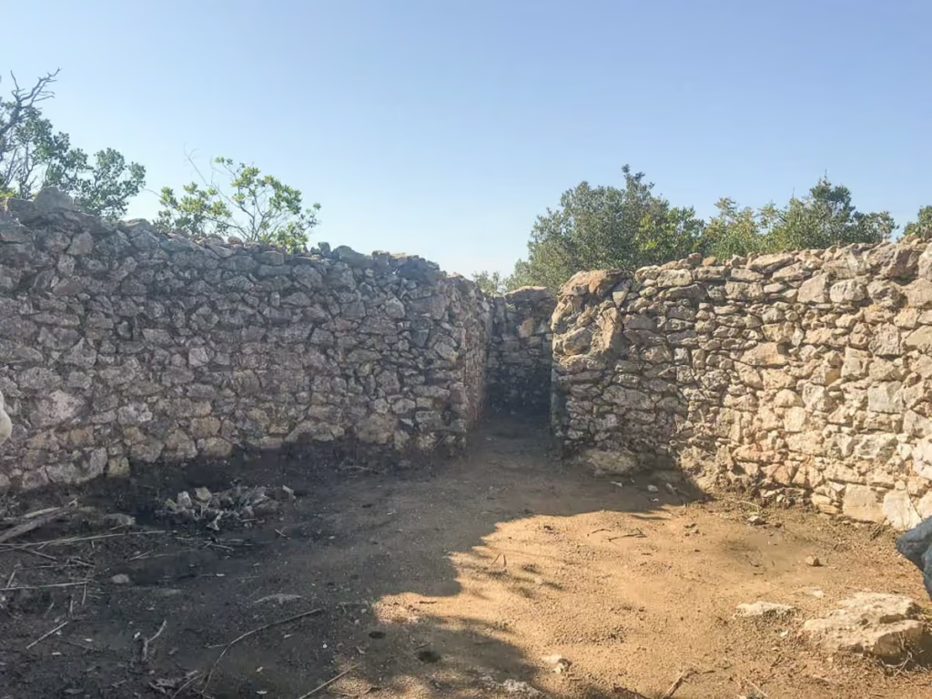
The first path will meander through the forest and eventually arrive at the Fortino di Cretarossa, an old fort (I couldn’t find information on when it dates back to, but it likely dates back to around 500-390 BC like the nearby acropolis) in a circular shape. It mostly is just the remains of an old wall.
From the Fortino di Cretarossa, you’ll follow the path up along the ridgeline to Piccalo di Circe.
Alternatively, you can follow a path to the south from here that winds down to the Hotel Punta Rossa, and from here, you can follow the roads back to San Felice Circeo.
Picco di Circe
You’ll continue following the trail west of Fortino di Cretarossa that mostly follows the ridgeline to Picco di Circe. This portion of the trail is largely exposed, so make sure to have sunscreen with you, and do take care as the trail is a bit uneven and rocky here, especially if it’s wet.
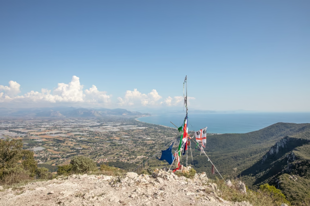
Eventually, you will reach Picco di Circe, the highest peak of the Circeo promontory at 541 meters in elevation. Picco di Circe is marked with a tower with flags tied to it. From the top of Circe Peak, you’ll have great views of Terracina and the coastline all the way down to Gaeta to the east.
From Picco di Circe you’ll continue along the Circeo ridgeline to the west with stunning views of Sabaudia and the Pontine Marshes below, in my opinion, this is the most scenic part of the trek.
The trail will eventually dip toward the north and begin going downhill through the forest toward Torro Paola. It was a hot sunny day when I did this hike, but the trail was quite muddy and sloppy toward the bottom.
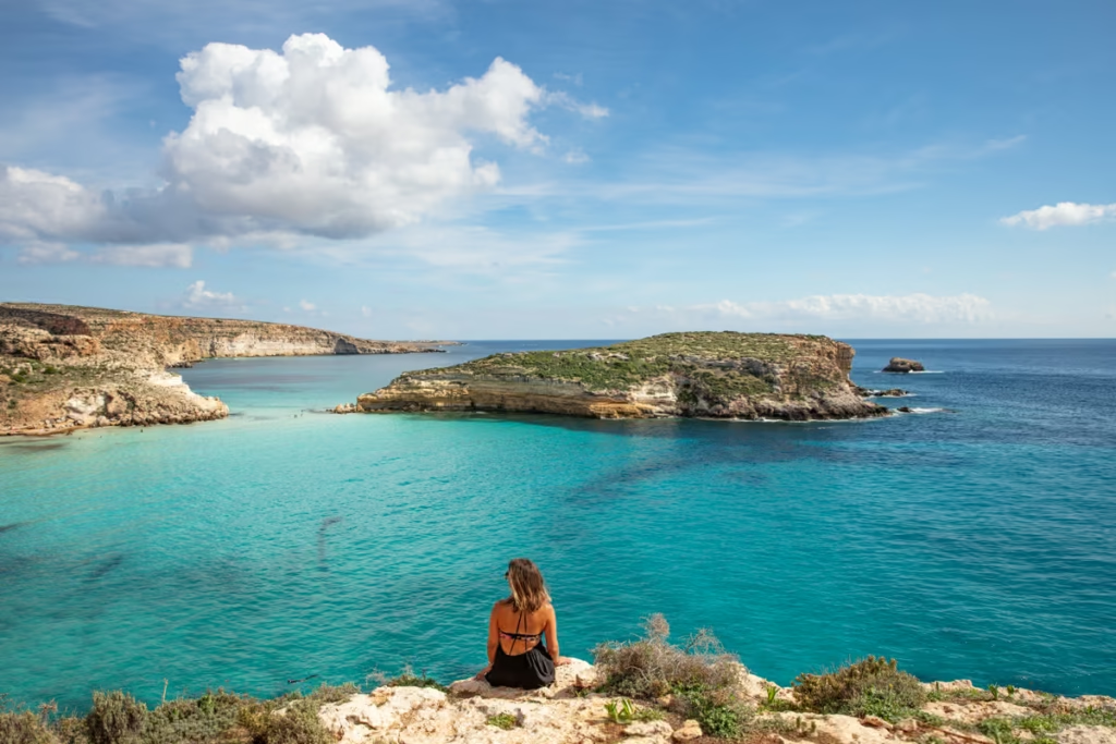
Want to see Italy’s southernmost island? Check out my quick guide to Lampedusa
Torre Paola
At the trailhead on the Sabaudia side of Mount Circeo, Torre Paola is just a short walk away.
Torre Paola served as a defense tower as part of the ancient citadel. There is a parking lot near Torre Paola if you have your own vehicle and plan to drive yourself.
If you plan to take the bus, you’ll need to continue onto Sabaudia.
Going to or from Rome afterward? Check out my one day in Rome guide
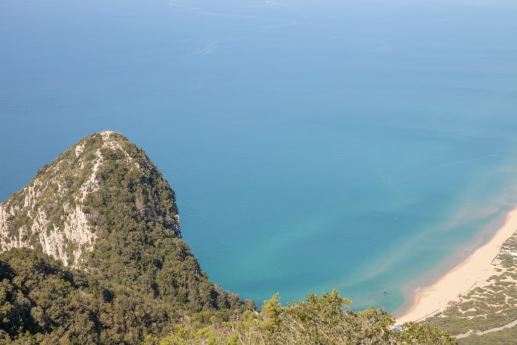
Sabaudia Sand Dunes
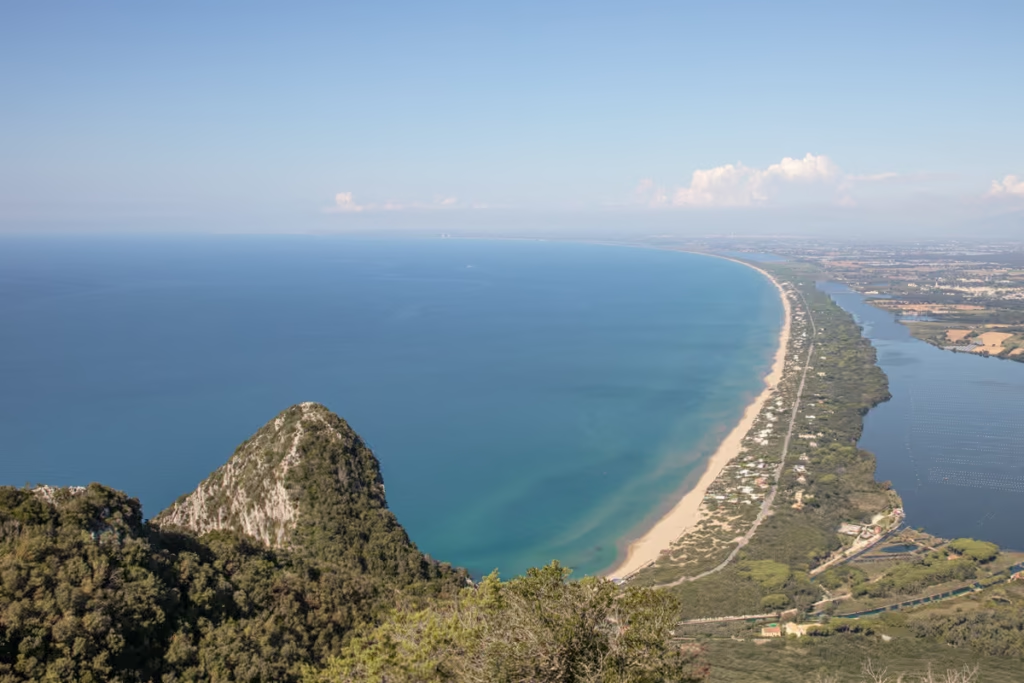
Sabaudia is a unique place, home to coastal sand dunes of fine white sand dotted with shrubbery backing the golden beach.
If you are continuing on foot like I did, back to Sabaudia’s center it’s about 7 km walking on the beach from the Torre Paola Trailhead. I made sure to walk a distance and swim and laze on the beach and repeat, taking my time to enjoy the afternoon to Sabaudia proper.
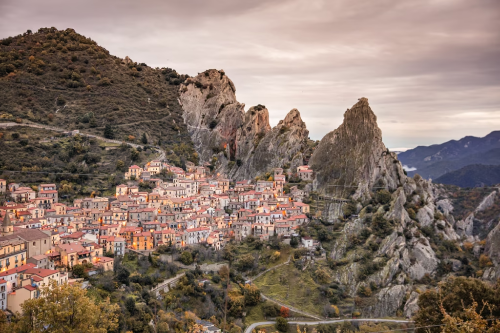
Planning to head further down Italy’s coast? Don’t miss out on Castelmezzano, Basilicata’s hidden gem
Other Hikes in the National Park of Circeo
Beyond the route I mentioned in this post, there are a number of other treks and walks of varying difficulty in the national park.
Click here to read a rundown of several of them (the website is in Italian, so if you can’t read it, use Google Translate on your browser).
How to Get to Mount Circeo
How to Get to & from San Felice Circeo
San Felice Circeo is simple to reach if you have your own transport. If you are traveling by use of the bus (Lazio region’s bus is called Cotral). You’ll want to get off (or if you end picked up) at the last stop on Via Domenichelli near Piazza Ivo Ceccarelli.
From the stop, it’s about a 1 kilometer walk to the Centro Storico from where you’ll begin or end the Mount Circeo Hike.
How to Get to & from Sabaudia
Again, like San Felice Circeo, reaching the trailhead on the Sabaudia side is easy. There’s even a parking lot right across the street from the Torre Paola Trailhead at Piazza Torre Paola.
If you’re traveling by bus and beginning or ending in Sabaudia the main bus station in Sabaudia is at Piazza Oberdan, right in the middle of town.
Note that it’s roughly a 7 kilometer walk from the bus station to the trailhead on.
Heading down to Sicily? Don’t miss Syracuse & Ortygia
What to Pack for the Mount Circeo Hike

Depending on which route you take, you’ll be in the sun likely from anywhere to an hour to a full day, so I recommend bringing sunscreen with you, especially in summer.
You’ll also want to bring a daypack with plenty of water and snacks to hold you over for the day. A good pair of running shoes or hiking boots are a must-have for this trek too.
Have Any Questions About the Mount Circeo Hike?
Ask in the comments section below.
Posts from Italy
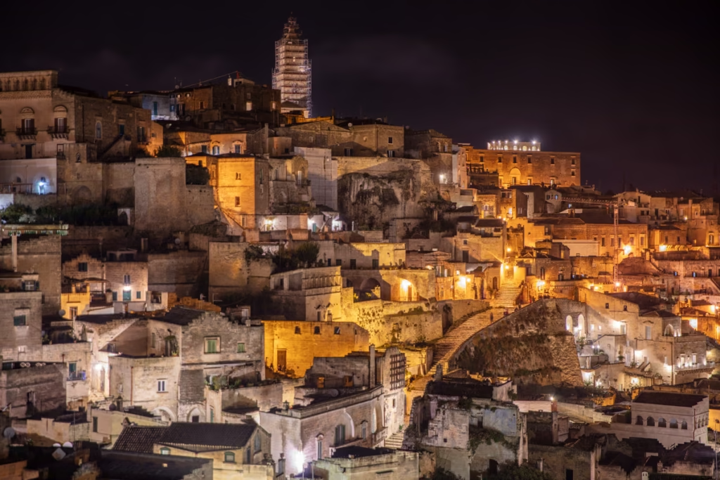
Guide to Italy’s Cave City of Matera
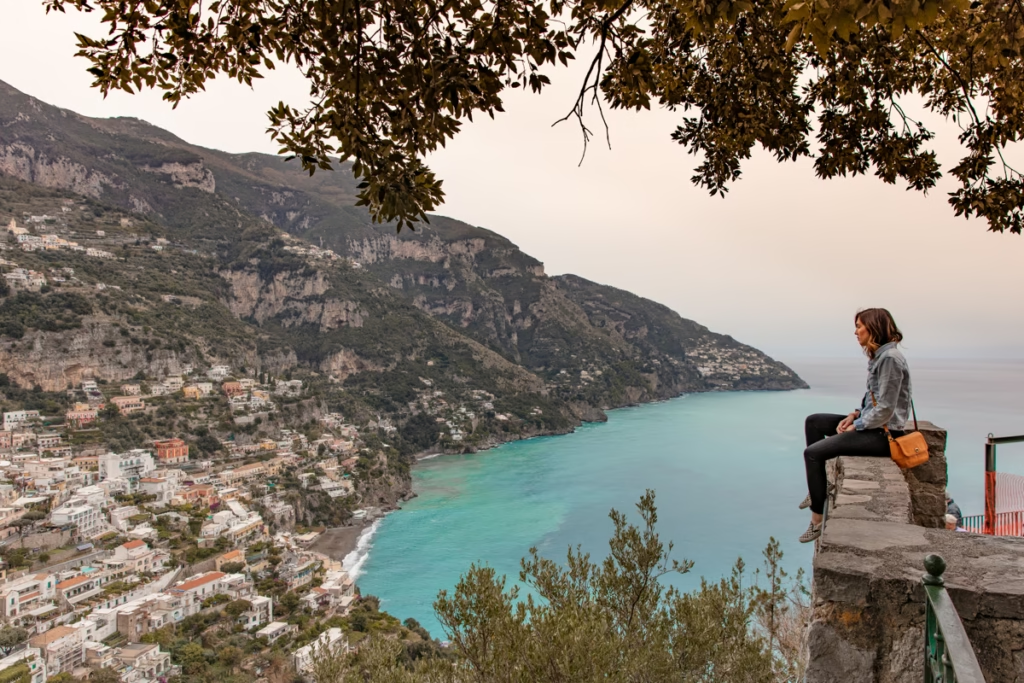
Amalfi Coast Travel Guide
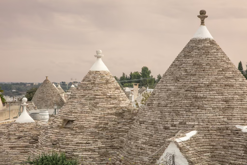
Alberobello Travel Guide
Naples Travel Guide
20 Off the Beaten Path Destinations in Italy
Mount Circeo Hike Italy
Best Road Trips in the World
Terracina Travel Guide
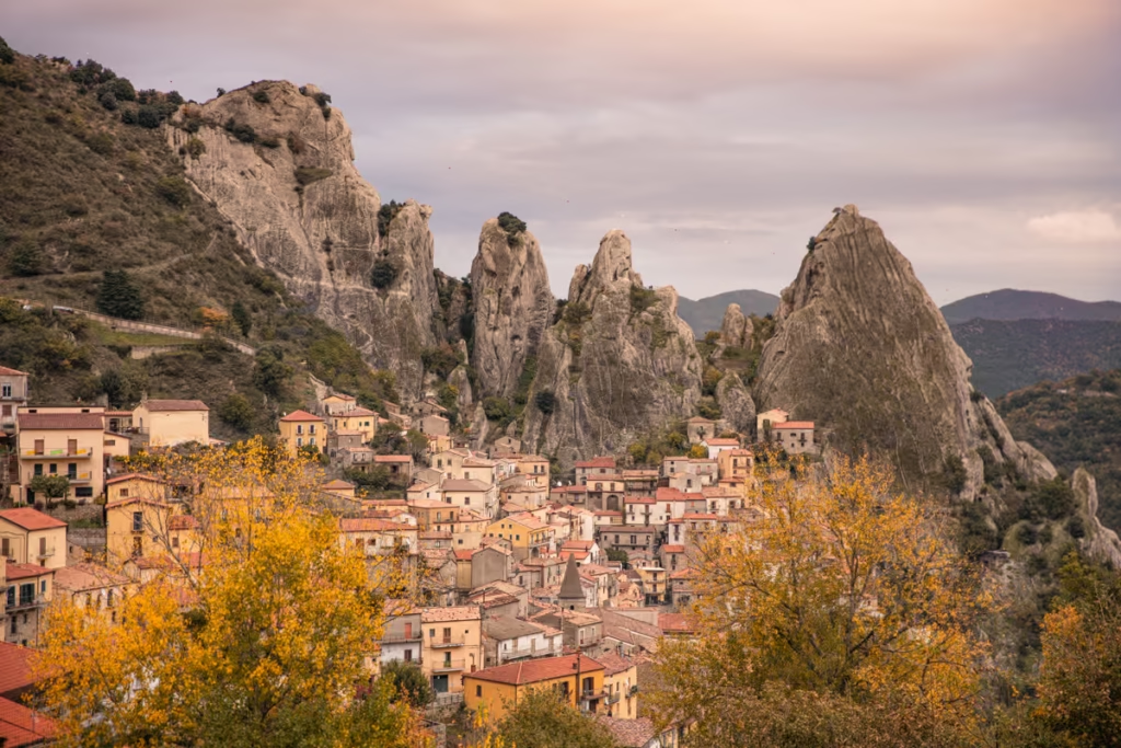
Castelmezzano & Pietrapertosa, Italy: A Quick Guide
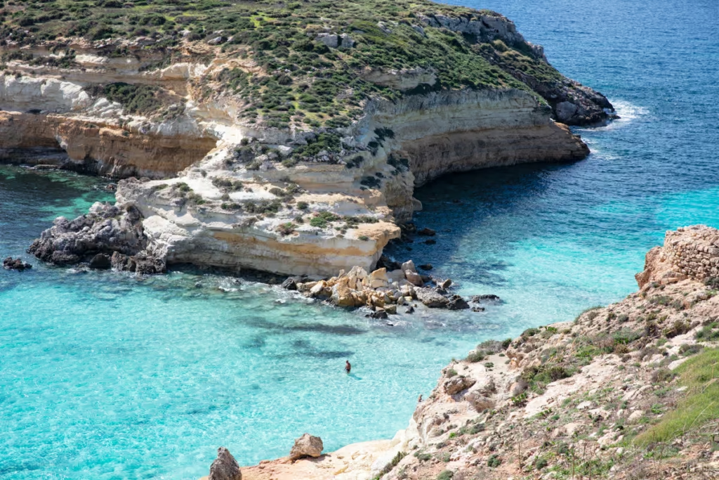
Lampedusa Travel Guide
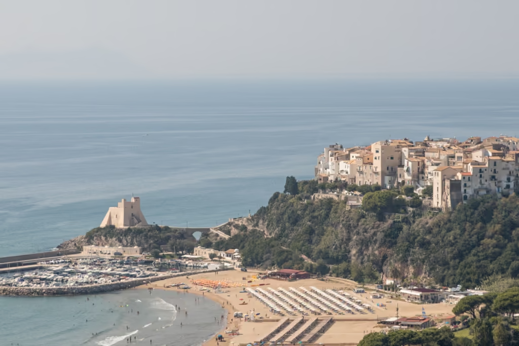
Sperlonga: A Best Kept Italian Secret

Best Wine Routes in the World

One Day Rome Itinerary
A Quick Syracuse Travel Guide

Two Week Classic Italy Itinerary