The Reed Lakes Hike in Hatcher Pass, Alaska
Updated in October 2026, The Reed Lakes Hike in Hatcher Pass, Alaska was originally written in April 2020
The Reed Lakes Hike in Hatcher Pass is one of my favorite day hikes in Alaska. I’ve spent 33 years wandering around Alaska, and this trail remains one of the hikes I return to when I want big mountain scenery without committing to a multi-day trek.
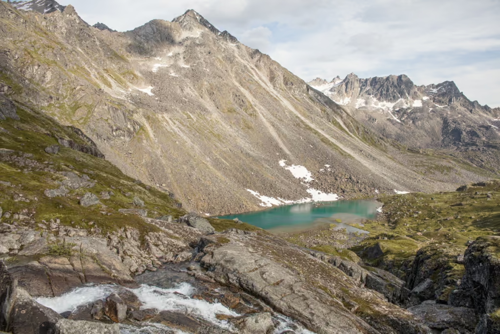
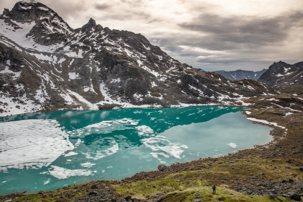
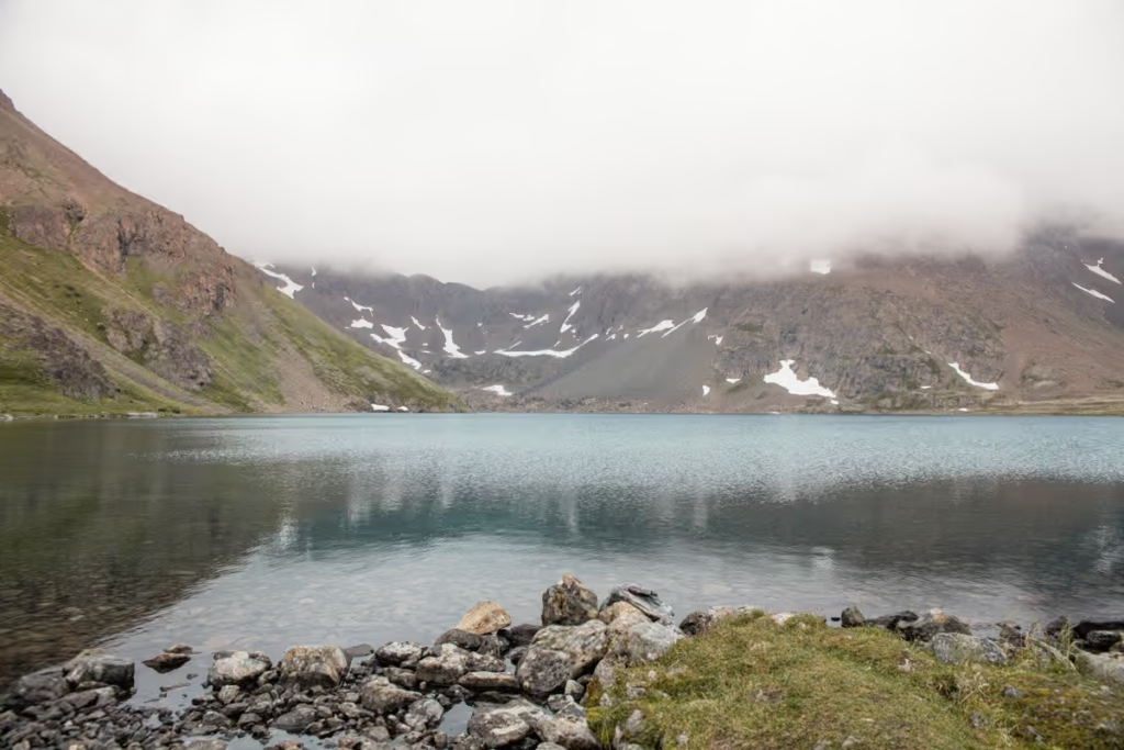
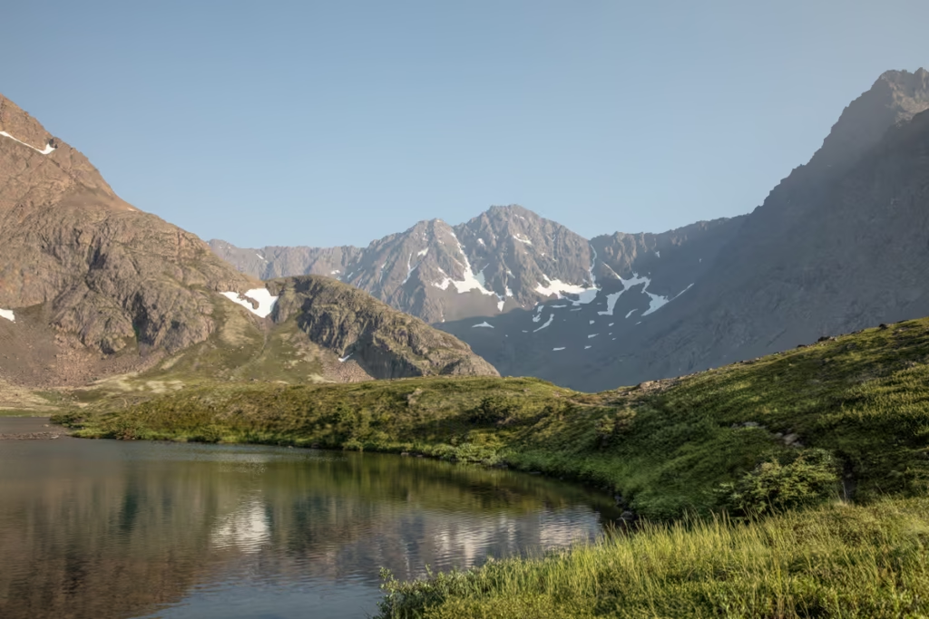
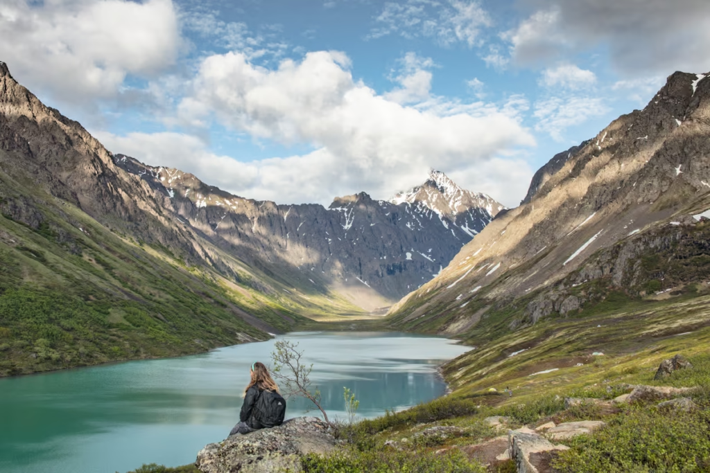
The Reed Lakes Trail climbs through the Talkeetna Mountains to Lower Reed Lake and Upper Reed Lake, passing old mining remains, alpine valleys, waterfalls, boulder fields, and turquoise glacial lakes along the way. It’s a challenging hike rather than a casual stroll, but the scenery is absolutely worth the effort.
In this guide, I’ll cover everything you need to know about the Reed Lakes hike, including how to get to the trailhead, trail distance and elevation gain, what the hike is actually like, camping at Reed Lakes, nearby Hatcher Pass hikes, recommended gear, and safety tips.
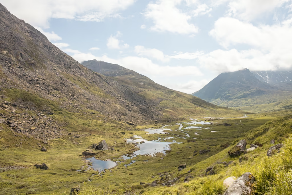
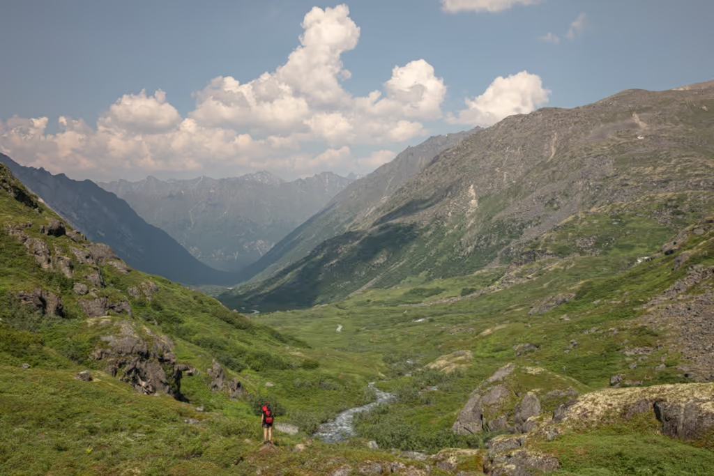
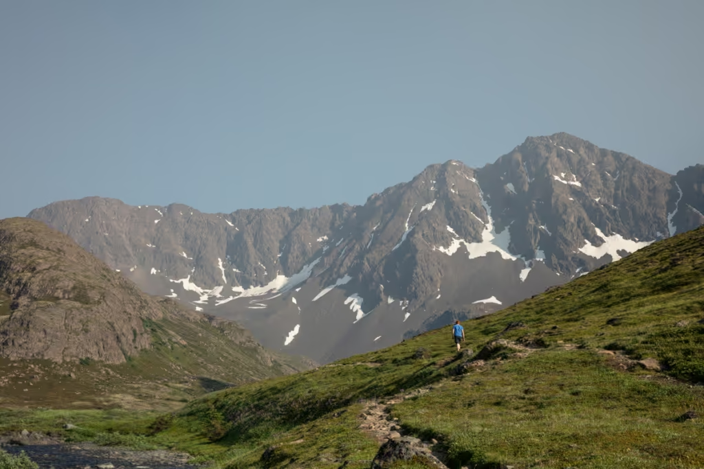
Perched in the Talkeetna Mountains within Hatcher Pass Recreational Area, with wide-open green valleys reminiscent of a jailoo in Kyrgyzstan, craggy granite spires the flash me back to trekking adventures I’ve had in Tajikistan, Pakistan, Peru, and Chile, and two neon turquoise glacially-fed alpine lakes this, in my opinion, is one of the most photogenic treks you can take in Southcentral Alaska.
Start planning your Alaska adventure: The Ultimate Alaska Travel Guide
Need Travel Insurance and Evacuation Services?
Start shopping for travel insurance plans over at IATI Insurance. Readers of the Adventures of Nicole get a 5% discount off your plan.
The Adventures of Nicole partners with Global Rescue to offer the world’s leading medical evacuation and security advisory services. To travel with peace of mind, explore their evacuation coverage.
Reed Lakes Hike Quick Facts
| Location | Hatcher Pass, Alaska |
| Trailhead | Reed Lakes Trailhead on Archangel Road |
| Distance | 8.6 miles round trip officially |
| Elevation gain | 2,000 feet officially |
| Difficulty | Moderate to strenuous |
| Time | Allow most of a day |
| Lower Reed Lake | 3,750 feet |
| Upper Reed Lake | Just over 4,000 feet |
| Best time | Late June through September |
| Parking | Limited at the trailhead |
| Dogs | Rocky/bouldery sections require caution |
| Camping | Possible at Reed Lakes |
How to Get to the Reed Lakes Trailhead
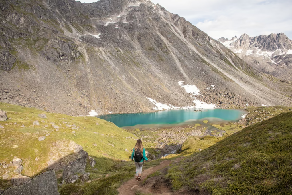
The Reed Lakes Trailhead is on Archangel Road in the Hatcher Pass Management Area, roughly 1.5 hours north of Anchorage. From Anchorage, the drive takes you through Palmer and up into the Talkeetna Mountains before turning onto the rough gravel road to the trailhead.
The Archangel Road turnoff is at approximately mile 14.4 of Hatcher Pass Road. The Reed Lakes Trailhead is about 2.9 miles along Archangel Road. The final section of the road is rough and rocky, and high-clearance vehicles are recommended. Parking at the Reed Lakes Trailhead is limited, particularly on summer weekends.
Driving to Reed Lakes from Anchorage
Take the Glenn Highway north from Anchorage toward Palmer/Wasilla. You can approach Hatcher Pass from either the Wasilla or Palmer side.
Via Wasilla
From the Glenn Highway, follow the Parks Highway toward Wasilla and take Trunk Road. Continue to Palmer-Fishhook Road, then follow Palmer-Fishhook Road toward Hatcher Pass. Turn onto Archangel Road and continue toward the Reed Lakes Trailhead.
Via Palmer
From the Glenn Highway, continue toward Palmer and turn onto Palmer-Fishhook Road. Follow the road toward Hatcher Pass, then turn onto Archangel Road. Continue along Archangel Road to the Reed Lakes Trailhead.
Important: Don’t assume the road to the trailhead is a smooth gravel road just because it is accessible by normal vehicles. Archangel Road can be rough, particularly beyond the Archangel Creek bridge. I have gotten back there with my little car, driving cautiously, but a high-clearance vehicle is handy as the road beyond the bridge is very rocky.
Reed Lakes Trailhead Parking
Parking is limited at the Reed Lakes Trailhead, and congestion should be expected on summer weekends. Arrive early if you’re hiking on a sunny weekend.
Looking for day hike ideas? Check out the 16 best day hikes near Anchorage, Alaska
Reed Lakes Hike: Trail Description
The Reed Lakes Hike is about 8.5 miles in total (4.25 miles each direction) with an elevation gain of about 2,250 feet. Make sure to have a backpack with you and bring enough water and some snacks (and a camera too!).
The hike starts out pretty mellow and is fairly flat for about the first 2 miles. It then begins to switchback uphill shortly after you pass the mine ruins from which you can optionally head northeast toward Snowbird Hut and Mine.
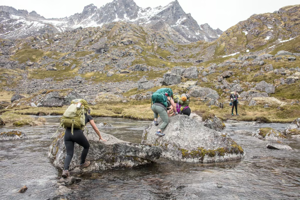
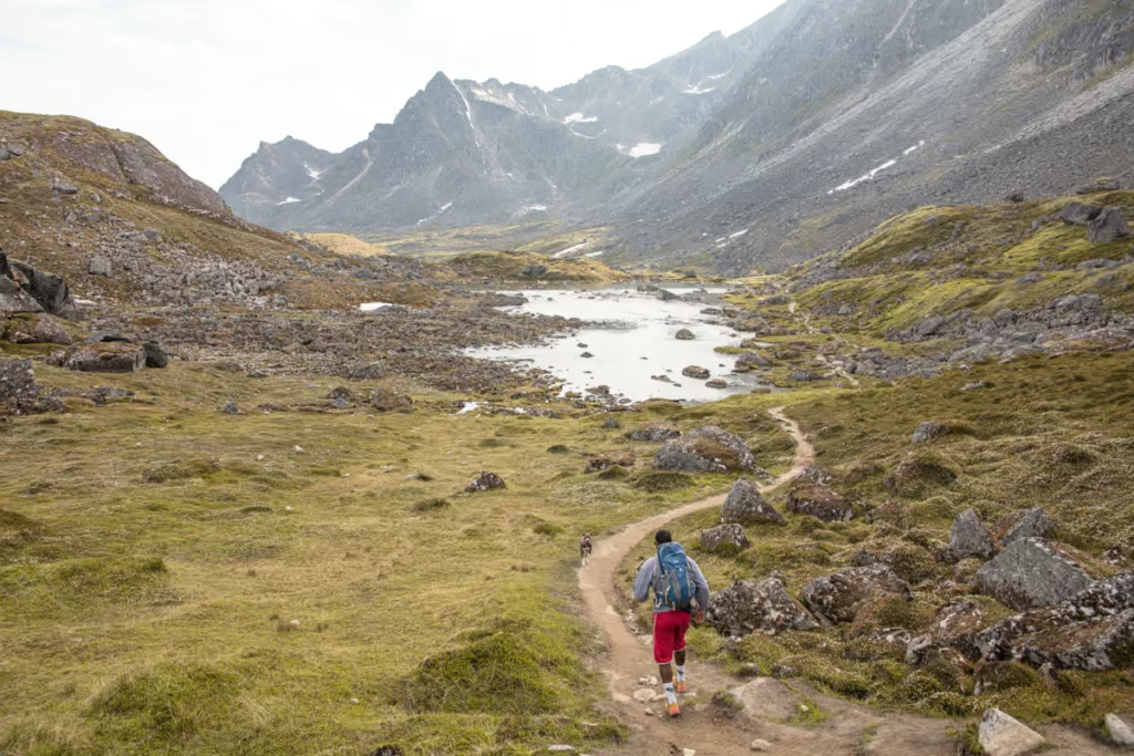
Once up the hill, you have to cross a boulder section along the river. There is no clear path at this point but you’ll be able to see other routes people have taken- cut be careful, especially if it’s been raining as this part can get quite slippery.
Once beyond you’ll reach a beautiful green bowl and from here it’s just a short hike uphill to the first Reed Lake. Upper Reed Lake is just a bit further beyond.
Trying to travel Alaska without breaking the bank? Check out the Budget Travel in Alaska guide
How Difficult Is the Reed Lakes Hike?
The Reed Lakes hike is a moderate to strenuous day hike, depending on your experience with steep and rocky terrain. The distance isn’t extreme, but the boulder section near the upper part of the trail makes the hike considerably more challenging than the relatively easy opening miles.
The trail gains roughly 2,000 feet from the trailhead to the upper lake, and the entire route is above timberline. Expect uneven terrain, steep sections, loose rocks and potentially slippery conditions.
If you’re comfortable hiking on rough alpine terrain and have a reasonable level of fitness, the Reed Lakes Trail is very manageable. I would not choose it as a first-ever hike, however, especially if the weather is wet.
Camping at Reed Lakes
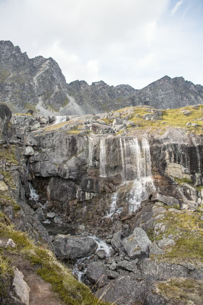
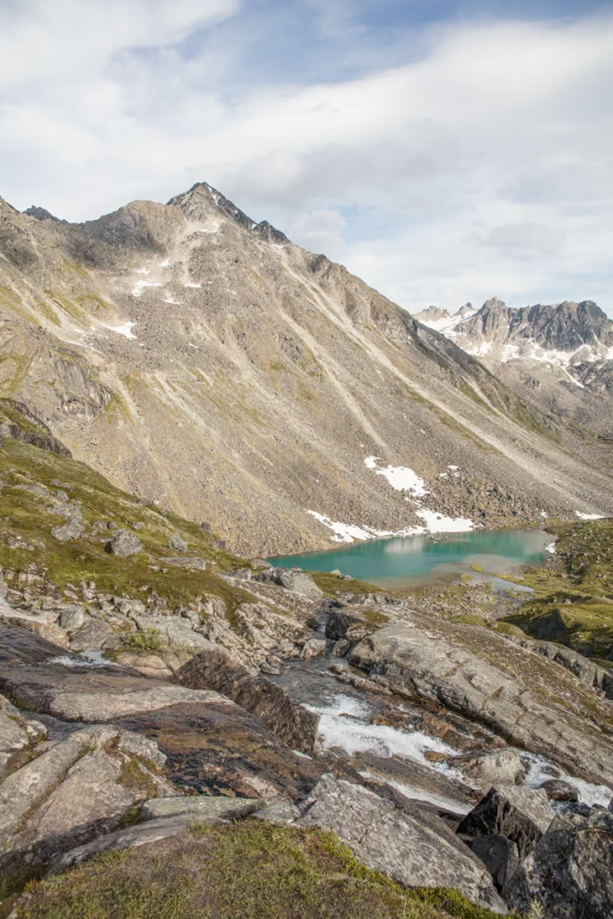
You can turn the Reed Lakes hike into an overnight backpacking trip, although you’ll need to carry everything you need into the mountains and pack everything back out.
Lower Reed Lake has better camping options than Upper Reed Lake, in my experience. If you’re planning to spend the night, I’d aim for Lower Reed Lake rather than hauling your gear farther uphill.
Remember that you’re camping in bear country. Store food and scented items securely and never leave food unattended around camp. I recommend carrying a bear-resistant food container and bringing bear spray.
Other Hatcher Pass Hikes
Mint-Bomber Traverse
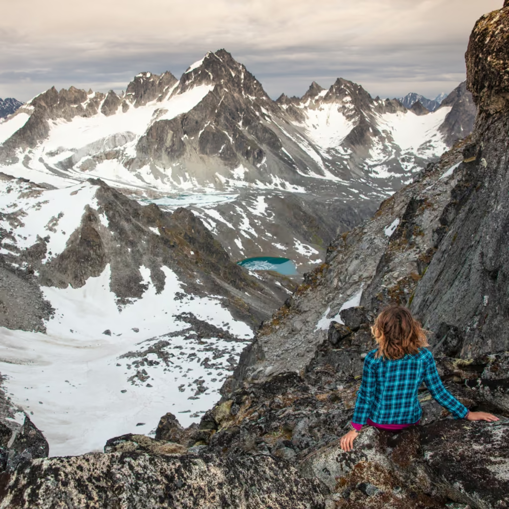
After reaching Upper Reed Lake you’ll continue up and over Bomber Pass and down onto Bomber Glacier, named after the TB-29 Superfortress wreckage on the glacier that you’ll pass on the way down to Bomber Hut.
From Bomber Hut you’ll hike to Penny Royal Glacier and traverse it up to the Backdoor Gap. Below you’ll arrive at Mint Hut and from there it’s smooth sailing all the way to the Goldmint Trailhead.
In all, the hike is about 18 miles in length. This trek can be done in reverse as well. Read more about the Mint-Bomber Traverse.
Snowbird-Bomber Traverse
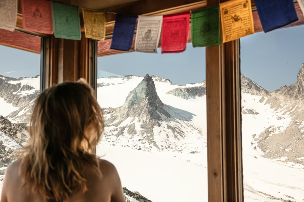
The Snowbird-Bomber Traverse can be done by continuing over Bomber Pass and Glacier to Bomber Hut, much like the Mint-Bomber Traverse. From Bomber Hut you’ll head west and follow the river valley out before meeting with another valley.
From here you’ll continue south (lots of bushwhacking and boulder hopping involved) to eventually climb upwards to Snowbird Hut and Snowbird Glacier. From there you’ll cross Snowbird Pass and descend back down to the mining ruins below the beginning of the uphill to Reed Lakes. You’ll follow the Reed Lakes Trail back to the trailhead to finish. In all this variation is about 15 miles in distance.
Read more about the Snowbird-Bomber Traverse.
What to Bring on the Reed Lakes Hike
- Inreach Explorer
- Bear spray
- Backpack
- Hiking boots
- Hydration Pack
- Sunscreen
- Snacks
Reed Lakes Hike Safety & Practical Information
Best Time to Hike Reed Lakes
The best time to hike the Reed Lakes Trail is generally late June through September, although conditions can vary considerably from year to year. Snow can linger at higher elevations into summer, and the boulder section becomes more difficult when wet or icy.
Weather
Don’t underestimate Hatcher Pass weather. Conditions can change quickly in the mountains, and temperatures around the lakes can be much colder than in Palmer or Anchorage. Bring waterproof layers and something warm even when the forecast looks good.
Wildlife
Bears, moose and other wildlife live throughout Hatcher Pass. Make noise while hiking through areas with limited visibility, keep your distance from wildlife, and carry bear spray.
Fires
Open campfires are not allowed within the Hatcher Pass Recreational Area. Check current regulations before camping.
Cell Service
Phone service is spotty in Hatcher Pass and non-existent along the Reed Lakes Hike.
Road Conditions
The road to the Reed Lakes Trailhead is part of the adventure. Archangel Road is rough, and the section beyond the Archangel Creek bridge is particularly rocky.
Have Any Questions About the Reed Lakes Hike?
Ask in the comments section below.
Posts from Alaska
Alaska Highway Road Trip: Alcan Guide
Denali Highway Alaska Road Trip Guide
Eklutna Lake Hike: Twin Peaks Trail
Girdwood Travel Guide
Prince of Wales Island Travel Guide
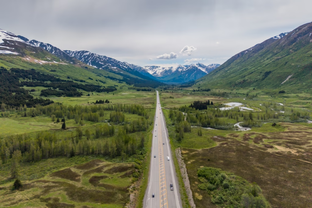
Seward Highway Road Trip Guide
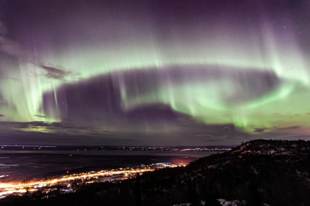
Two Days in Anchorage: The Perfect Anchorage Itinerary
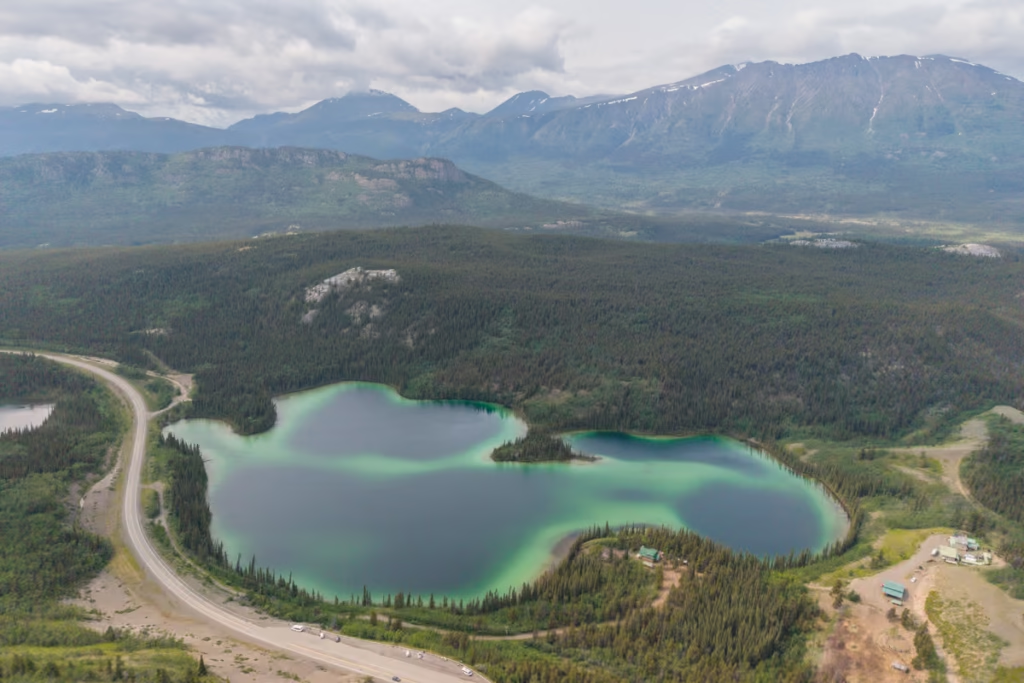
Golden Circle Route: Yukon & Alaska Road Trip
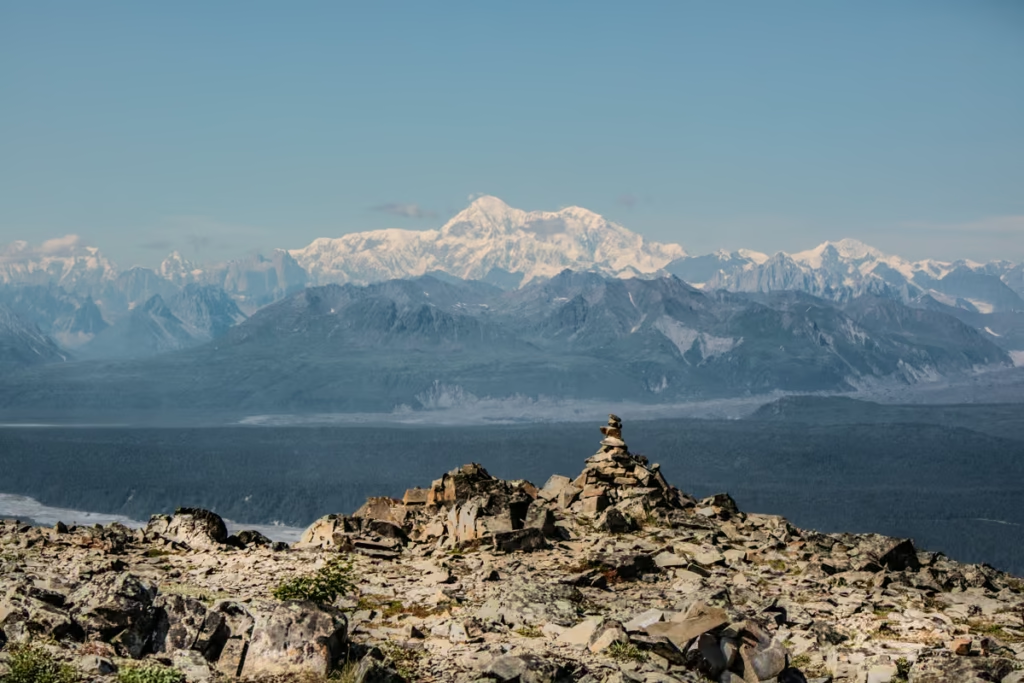
K’esugi Ridge Hike, Alaska

Between Beaches: An Alaskan Winter Getaway
Kenai Fjords National Park Travel Guide
Free Places to Ski & Snowboard Near Anchorage
The Best Hostels in Anchorage, Alaska
A Quick Guide to Hope, Alaska
Shrine of St. Therese in Juneau, Alaska
Wrangell St. Elias Road Trip
Kenai Fjords Tour with Major Marine Tours
Homer Travel Guide
Rabbit Lake Hike in Anchorage, Alaska
Williwaw Lakes Hike in Anchorage, Alaska
Virgin Creek Falls in Girdwood, Alaska
How Much Does it Cost to Travel Alaska? Budget Guide 2026
Fairbanks Travel Guide: 13 Best Things to Do
A Guide to Hiking to Flute Glacier
Anchorage’s Best Hotels
A Day Hike into ANWR
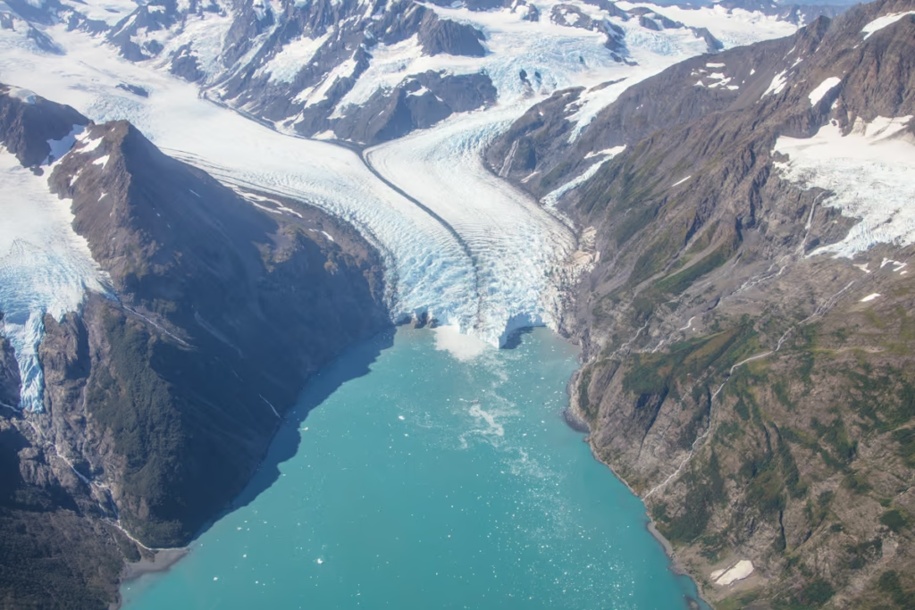
Best Things to do in Alaska
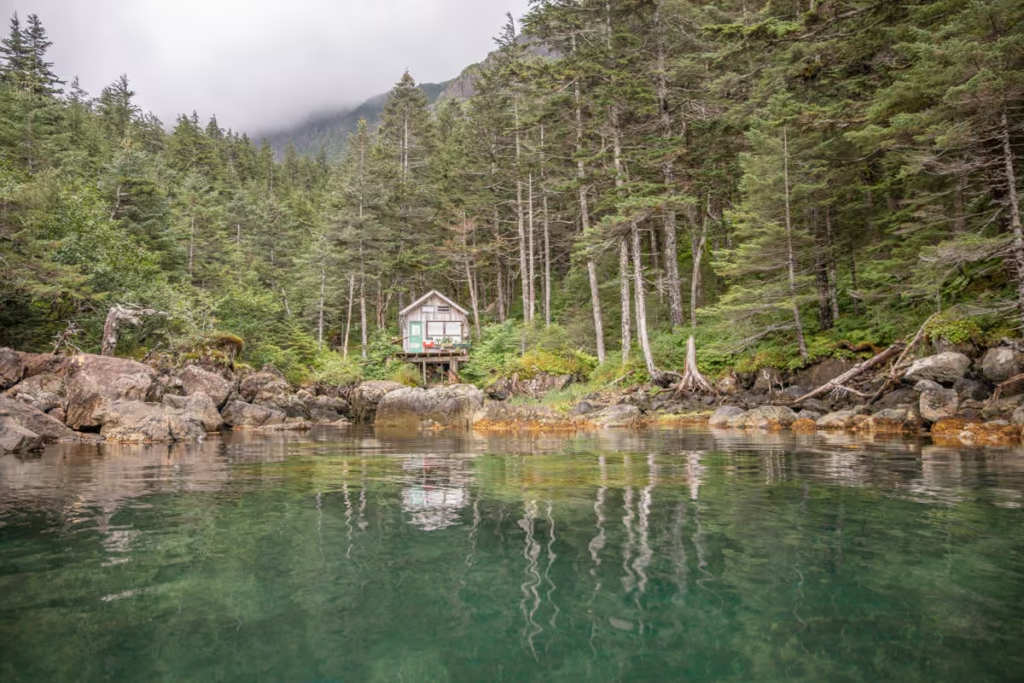
Kayakers Cove, a Perfect Escape from Seward, Alaska
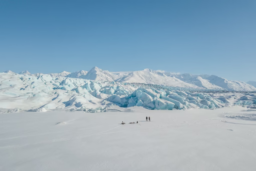
Biking to Knik Glacier in the Winter
Reed Lakes Hike, Hatcher Pass
Seward Travel Guide
Juneau Travel Guide
10 Reasons Visit Alaska
Denali National Park Travel Guide
What to Pack for Alaska
Alaska Travel Guide
How to Get a Denali Road Lottery Permit
Eagle & Symphony Lakes Hike
Ultimate Alaska Road Trip Itinerary
Macdonald Spit Alaska
How to Get to Mendenhall Ice Caves
Silverbow Inn: One of the Best Places to Stay in Juneau
Dalton Highway
10 Day Alaska Itinerary
Gates of the Arctic National Park Alaska
Hiking to Exit Glacier
Mint-Bomber Traverse Hike
Free Things to Do in Anchorage
Best Places to See the Northern Lights in Alaska