
Denali Highway, Alaska: An Epic Road Trip Guide
Updated October 2026, Denali Highway, Alaska: An Epic Road Trip Guide written in June 2019
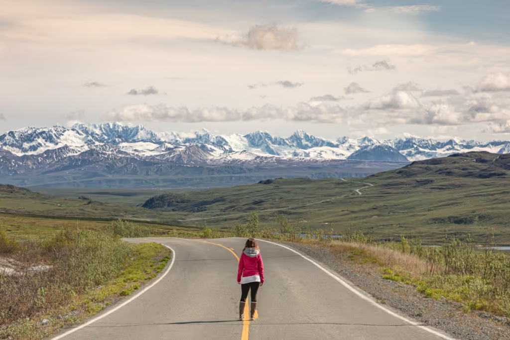
The Denali Highway is one of Alaska’s best road trips, stretching 135 miles between Paxson on the Richardson Highway and Cantwell on the Parks Highway. The mostly gravel road cuts across some seriously wild country, with sweeping views of the Alaska Range, Wrangell Mountains, tundra, glacial valleys, lakes, and wildlife along the way.
Much of the Denali Highway sits above the tree line, so on a clear day the landscape feels almost ridiculously open. You can drive for miles without seeing much more than tundra, mountains, braided rivers, and the occasional moose or caribou.
But this isn’t a quick highway drive. The Denali Highway is remote, services are limited, cell service is unreliable, and road conditions can change quickly with weather. You’ll want to allow at least a full day, although two days is much better if you want time for hiking, camping, photography, and the many roadside stops.
The Denali Highway is only maintained and open from mid-May to October and is mostly gravel between its paved sections near Paxson and Cantwell. The Alaska Department of Transportation currently recommends preparing for rough patches and soft spots and carrying emergency supplies, food, water, first-aid equipment, and a spare tire.
It’s also worth noting that most rental car companies do not allow people to take their vehicles on the Denali Highway, so I’d recommend booking with Alaska 4×4 Rentals.
One important clarification: the Denali Highway is not the same road as the Denali Park Road inside Denali National Park. Despite the confusingly similar names, this guide covers the 135-mile highway between Paxson and Cantwell. If you’re looking for information about driving into Denali National Park, head over to my Denali National Park Guide.
Need Travel Insurance and Evacuation Services?
Start shopping for travel insurance plans over at IATI Insurance. Readers of the Adventures of Nicole get a 5% discount off your plan.
The Adventures of Nicole partners with Global Rescue to offer the world’s leading medical evacuation and security advisory services. To travel with peace of mind, explore their evacuation coverage.
Denali Highway at a Glance
| Length | 135 miles |
| Route | Paxson to Cantwell |
| Highways connected | Richardson Highway and Parks Highway |
| Road surface | Mostly gravel |
| Paved sections | First 21 miles from Paxson and final 3 miles near Cantwell |
| Typical season | Mid-May through early October |
| Recommended time | 2 days |
| Maximum recommended speed | 35 mph |
| Gas | Cantwell; no gas at Paxson |
| Camping | Tangle Lakes and Brushkana Creek campgrounds plus dispersed opportunities |
| Best for | Scenic driving, hiking, camping, fishing, wildlife, photography |
Driving the Denali Highway: What You Need to Know
How Long Is the Denali Highway?
The Denali Highway is 135 miles long, connecting Paxson on the Richardson Highway with Cantwell Junction on the Parks Highway. The road takes you through a huge variety of landscapes, from the lakes and tundra around Tangle Lakes to mountain passes, glacial valleys, rivers, and boreal forest closer to Cantwell.
Don’t make the mistake of treating 135 miles as a quick afternoon drive. The road is mostly gravel, the speed limit is generally much lower than on Alaska’s paved highways, and you’ll inevitably want to stop every five minutes because apparently Alaska did not get the memo about keeping scenic pull-offs to a reasonable number.
I recommend allowing at least two days for a Denali Highway road trip if you want to hike, camp, fish, photograph the landscape, or simply stop whenever the scenery gets too good to ignore.
How Long Does It Take to Drive the Denali Highway?
The 135-mile Denali Highway can technically be driven in a single day, but I wouldn’t recommend rushing it. Plan on 6 to 8 hours of driving time depending on road conditions and how often you stop. With all the viewpoints, wildlife, hikes, and photo stops along the way, two days is much better. This gives you time to actually enjoy the landscape instead of spending the entire day behind the wheel.
Is the Denali Highway Paved?
Only part of it.
The first 21 miles west of Paxson are paved, while the final 3 miles east of Cantwell Junction are paved. The remaining roughly 111 miles are gravel.
Road conditions vary with weather and maintenance. You can encounter washboards, potholes, loose gravel, soft sections, and rough patches, particularly early in the season or after rain. Alaska DOT&PF currently recommends slowing down and being prepared for changing conditions.
The highway’s current advisory speed is 35 mph, although actual conditions should determine how fast you drive.
What Are the Road Conditions Like?
Road conditions on the Denali Highway can vary considerably depending on recent weather and road maintenance. You may encounter smooth gravel, washboard, potholes, loose rock, muddy sections, and standing water. I’ve driven the highway in both June and May and found it surprisingly smooth on those trips, but conditions can change from one season to the next. Check Alaska 511 before setting out and slow down when conditions deteriorate.
When Is the Denali Highway Open?
The Denali Highway is a seasonal road, generally maintained and open from around mid-May through October 1, although exact opening and closing dates depend on weather and road conditions. Alaska DOT&PF typically performs seasonal maintenance from mid-May into the fall.
If you’re planning to drive the highway in May or late September, check current road conditions before setting out. Early-season conditions can include lingering snow, soft spots, rough sections, and runoff.
For current conditions, check Alaska 511 immediately before your trip rather than relying on a blog post, including this one. Road conditions in Alaska have a funny habit of ignoring our carefully researched travel plans.
Which Direction Should You Drive the Denali Highway?
You can drive the Denali Highway in either direction, and the scenery is spectacular from both ends. Most travelers drive from Paxson west to Cantwell, which puts the highway’s major mountain views and landmarks ahead of you as you travel toward the Parks Highway. I drove it in the opposite direction and had a great experience too, so I wouldn’t stress too much about the direction. Pick whichever route fits best with the rest of your Alaska road trip.
Do You Need 4WD for the Denali Highway?
You don’t necessarily need a massive expedition vehicle to drive the Denali Highway, but you do need a vehicle whose rental agreement explicitly allows travel on the highway.
The bigger issue isn’t simply whether a vehicle has four-wheel drive. Rental companies often prohibit travel on gravel roads, and the Denali Highway is mostly gravel. Alaska DOT&PF specifically warns travelers that many rental car companies don’t allow their vehicles on this road.
If you’re renting a vehicle, read the rental agreement carefully and confirm permission before heading out. I used Alaska 4×4 Rentals for this reason, but always check the company’s current terms before booking.
Carrying a spare tire is recommneded.
Can You Drive the Denali Highway in a Rental Car?
Maybe, but check your rental agreement first. Many Alaska rental car companies prohibit driving their vehicles on the Denali Highway because most of the route is gravel. Don’t assume that because a rental SUV has four-wheel drive you’re allowed to take it here. If you’re renting specifically for this road trip, choose a company that explicitly permits travel on the Denali Highway.
Where Can You Get Gas?
There are no gas stations along the Denali Highway, so fill your tank before starting the drive. If you’re traveling from the west, Cantwell is your last opportunity to fuel up before heading toward Paxson. If you’re starting in Paxson, plan ahead and fill up in Glenallen because there is currently no fuel available in Paxson. I recommend starting the highway with a completely full tank and carrying extra emergency supplies.
Can You Camp Along the Denali Highway?
Yes, and camping is one of the best ways to experience the Denali Highway. There are two developed BLM campgrounds along the route, Tangle Lakes Campground around Mile 21.5 and Brushkana Creek Campground around Mile 104. There are also numerous pull-offs and opportunities for dispersed camping where permitted. Always check land ownership and camping regulations before setting up camp, and follow Leave No Trace practices.
Are There Lodges the Denali Highway?
If camping isn’t your thing, there are several lodges and cabins along the Denali Highway where you can spend the night. Options include:
- Denali Highway Cabins in Paxson at Mile 0.25
- Tangle River Inn around Mile 21.5
- Maclaren River Lodge at Mile 42
- Alpine Creek Lodge at Mile 68
- Clearwater Mountain Lodge at Mile 82.2
Availability is limited, particularly during the busy summer season, so book ahead if you know you’ll want a roof over your head.
Is There Cell Service on the Denali Highway?
Don’t count on having cell service on the Denali Highway. Coverage is limited and unreliable along much of the route. Download offline maps before leaving, let someone know your plans, and carry enough food, water, and emergency supplies to deal with an unexpected delay. If you’re traveling solo or spending several nights out here, a satellite communicator is a worthwhile addition to your gear.
Start planning: The Alaska travel guide
My Recommended 2-Day Denali Highway Itinerary
Day 1: Paxson → Maclaren River
- Paxson
- Alaska Range Viewpoint
- Wrangell Viewpoint
- Tangle Lakes
- Tangle Lakes Archaeological District
- Landmark Gap
- Maclaren Summit
- Maclaren River
- Overnight at Maclaren River Lodge or camp
Day 2: Maclaren River → Cantwell
- Maclaren River Trail
- Crazy Notch
- Waterfowl Lakes
- Clearwater Creek
- Susitna River
- Brushkana Creek
- Nenana River
- Denali View
- Cantwell
Denali Highway Points of Interest
Paxson to Tangle Lakes: Mileposts 0-22
The eastern section of the Denali Highway begins at Paxson Junction and quickly leaves pavement behind as the road climbs into increasingly open tundra and mountain country. This section has several viewpoints, hiking trails, the Tangle Lakes Archaeological District, and one of the highway’s most popular campgrounds.
Milepost 0: Paxson Junction
Welcome to Paxson, a tiny Alaska town of roughly 40, and kick off (or end) for your Denali Highway road trip. The two main things here include Paxson Lake and the abandoned Paxson Roadhouse.
Milepost 0.25 Denali Highway Cabins & Paxson Alpine Tours
The Denali Highway Cabins are situated technically in Paxson still. A good place to get a night’s sleep before taking on the highway. You can also arrange tours with Paxson Alpine Tours here as well.
Milepost 6.5: Alaska Range Viewpoint
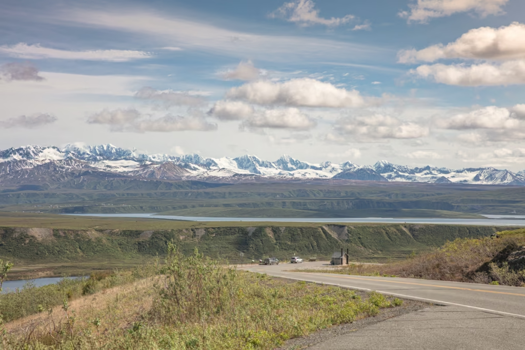
This first viewpoint pull-off gives awesome views of the Alaska Range along with the Gulkana and Gakona Glaciers. Me and my friend I did the Denali Highway with both thought the views of the water from here reminded us of an Alaskan version of Band e Amir in Afghanistan. There are informational glacier geology signs along the parking lot.
Milepost 10: 10 Mile Lake Trail
This short walk will take you to 10 Mile Lake. 10 Mile Lake offers good Burbot fishing.
Milepost 13: Wrangell Viewpoint
Turn around because here is your chance to look back at the Wrangells with views of Mt Drum, Mt Wrangell and Mt Sanford about 78 miles to your southeast.
Milepost 17: Swede Lake Trail, Middle Fork Gulkana Branch Trail, Dickey Lake Trail & Alphabet Hills
This trail will take you down 2 miles to arrive at Little Swede Lake, tack on one more mile and you’ll arrive at Big Swede Lake. The trail does continue beyond with the Middle Fork Gulkana Branch Trail. A short distance further beyond Big Swede Lake a trail will veer off to the west and bring you to Dickey Lake.
If you continue south on the Middle Fork Gulkana Trail it will take you across the Gulkana River and to the Alphabet Hills. Mud boots are recommended because this trail is usually sloppy and wet.
Milepost 17: Tangle Lakes Archeological District Eastern Boundary
This area between mile 17 and mile 38 along the Denali Highway is home to one of the densest collections of North American subarctic archeological artifacts.
This stretch of land near Tangle Lakes has been inhabited by Athabaskan groups for at least 10,000 years. North Landmark Gap Trail, Glacier Lake Trail, and Maclaren Summit Trail all sit within the archeological district.
Milepost 20: Tangle River Inn
A 1953 homestead turned into rooms and cabins for rent. Beds in a shared cabin at Tangle River Inn start at $48/night and cabins go for $105-180/night. Grab a pizza, or rent a canoe here.
Milepost 21: Pavement Ends
Say goodbye to the smooth asphalt for the next 110 miles! In summer 2019 the gravel road was in great condition.
Milepost 21.3: Tangle Lakes Campground
One of two BLM maintained campgrounds along the Denali Highway. There are 45 sites in total, the campground does have outhouses, potable water, and a boat launch. This is a common put-in point for those taking on the 30-mile Delta National Wild & Scenic River float trip. Normal campsites are $12/night, walk-in sites $6/night. Click here for more information, sites are on a first-come, first-served basis.
Milepost 21.5: Delta National Wild Scenic Wayside & Delta River
A BLM maintained wayside with picnic tables, outhouses, and boat launch. This is a common drop-in point for canoers headed to Upper Tangle Lakes, as well as experienced kayakers and rafters taking on the float trip along the Delta River. For more information on the Delta River float trip click here, and for more info on the Delta National Wild area, click here. Note that there is no camping allowed at the wayside.
Plan your Alaska itinerary: 1-4 week Alaska road trip itinerary
Tangle Lakes to Maclaren Summit: Mileposts 22-42
This is one of my favorite stretches of the Denali Highway. The road winds through the Tangle Lakes region and across wide-open tundra before climbing toward Maclaren Summit, where the landscape opens up to huge views of the Alaska Range and Maclaren River valley.
Milepost 22.5: Landmark Gap View
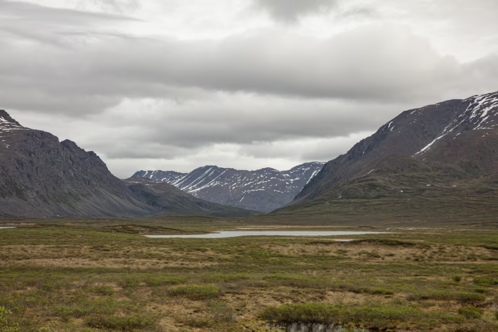
Get a good view of this cut sliced into the mountains by glaciers of the past. This is also a common migration route for the Nelchina caribou herd.
Milepost 24.6: North Landmark Gap Trail
This trail will take you 3 miles from the Denali Highway north to Landmark Gap Lake. It’s a wide trail that is used by 4-wheelers, bicycles, and hikers. There are signs along the way that mark sites of significance in the Tangle Lakes Archeological District.
Milepost 24.7: South Landmark Gap Trail & Rock Creek Bridge
Dipping south of the Denali Highway the South Landmark Gap trail will first head south before branching into two. The southeastern trail will take you 5 miles to arrive at a gorgeous viewpoint of North Tangle Lakes. The trail to the southwest will continue 8 miles to Osar Lake. This trail is often wet, so mud boots will prove helpful. Just beyond the trailhead along the Highway is the one lane bridge across Rock Creek.
Milepost 30: Glacier Lake Trail
This 3.2 mile hike will take you across the tundra to Glacier Gap Lake.
Milepost 37: Alaska Range & Maclaren River Viewpoint, Osar Lake Trail, Maclaren Trail & Maclaren Summit
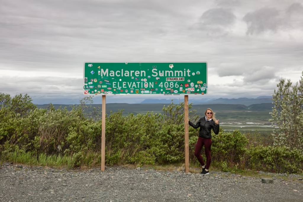
As you make your way up toward Maclaren Summit this you’ll first have a scenic stop off for sweeping views of the Alaska Range with the Maclaren River in the foreground. A couple of hundred yards beyond will bring you to Osar Lake Trail and then beyond that to Maclaren Summit & Trail.
Osar Lake Trail will take you across glacial Eskers* to the north end of Osar Lake.
Maclaren Summit is Alaska’s second-highest highway pass at 4,086 feet, only second to Atigan Pass. Stop for wild views of the Alaska Range Maclaren River & Glacier. You can opt to take the 3 mile out and back Maclaren Trail for a short walk with stunning views.
*An Esker is a long ridge of gravel and stratified sand left behind in glaciated and previously glaciated areas.
Milepost 41: Palsa, Thermokarsts & Kettle Lakes
On the south side of the Denali Highway lookout for this partially collapsed Palsa where you can see different layers of peat and ice. A Palsa is a frost-heave found in polar and subpolar climate zones that contain permanently frozen ice lenses.
This Palsa is neighbored by themokarsts which are sinkholes that occur as a result of melting ice lenses within permafrost systems. Thermokarsts can even become lakes in some instances, such as the Kettle Lakes that can be seen around here.
Maclaren River to Clearwater: Mileposts 43-82
After Maclaren Summit, the Denali Highway drops through another stretch of remote mountain and tundra landscape. You’ll pass glacial features, wildlife-rich lakes, rivers, hiking trails, and several opportunities to stop for the night.
Milepost 42: Maclaren River, Maclaren Bridge, MacClaren Lodge
Cross the Maclaren Bridge over the Maclaren River that connects to the lodge on the opposite banks of the river. Maclaren River Lodge has a full-service restaurant serving breakfast, lunch, and dinner, and rents out cabins ranging from $100 to $150/night. You can also set up day trips from the lodge to adventure by canoe, jet boat, glacier boat, or go fishing.
The lodge also offers tire repair service and firewood. Across the highway from the lodge is a scenic pull off that gives views to Maclaren Glacier in the distance.
Heading to Denali before or after? Check out my Denali National Park guide
Milepost 43: Maclaren River Trail
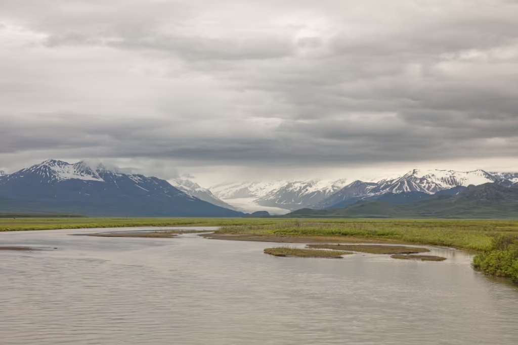
Follow this trail alongside Maclaren River for about 10 miles to reach Hidden Lake and potentially travel beyond to Maclaren Glacier about 16 miles off the highway.
Milepost 46: Crazy Notch
En route to Clearwater River, the Denali Highway passes through a narrow slot that’s been named Crazy Notch. Crazy Notch is actually a geological feature carved into the Earth long ago by the Maclaren Glacier that left large glacial moraines on either side.
As the glacier receded a creek cut the notch even deeper. This area of the Denali Highway is susceptible to snowdrifts which can shut the route down in the wintertime. A little further up the Denali Highway at mile 47 you’ll find Mile Lake, just off the road.
Milepost 49.5: Waterfowl Lakes
Like the name implies the lakes right off the Denali Highway here are home to numerous waterfowl, including ducks, geese, shorebirds, and trumpeter swans. Also keep your eyes peeled for moose, caribou, bald eagles, and beavers.
Milepost 55.5: Clearwater Creek Wayside
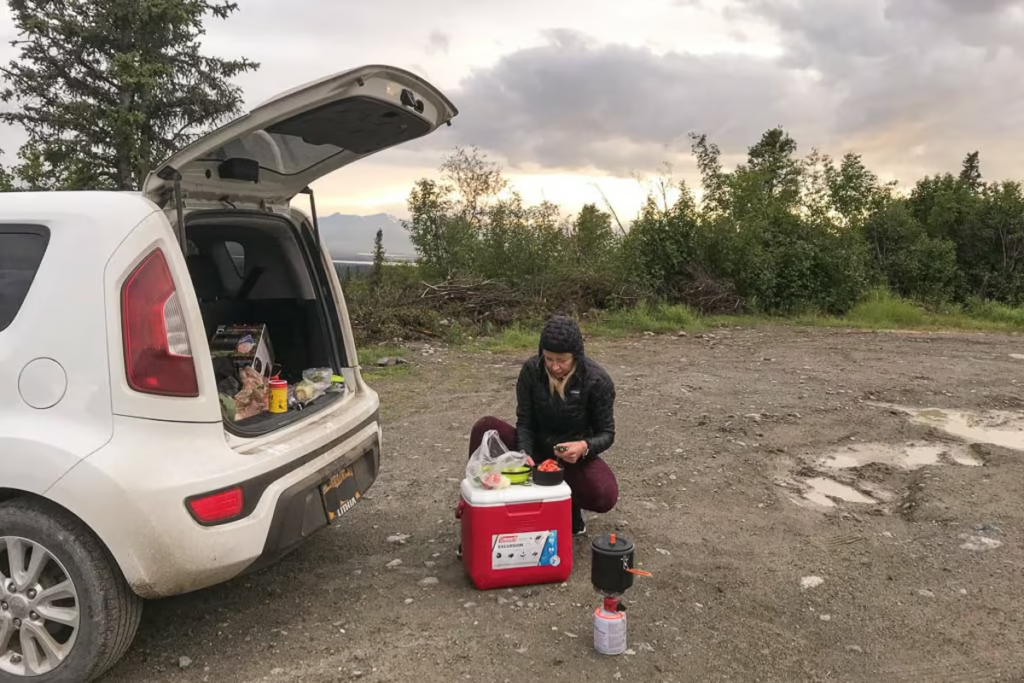
A great place to pull off and camp for the night, especially if you’re in a RV. There are plenty of opportunities to hike and fish. Outhouses are available.
Milepost 59: Eskers
Look around you at mile 59, you’re on an Esker. As mentioned earlier, an Esker is a ridge of sand and gravel left behind in area where massive glaciers once occupied.
Milepost 68: Alpine Creek Lodge
With rooms going for about $170/night Alpine Creek Lodge is a perfect stop for a night about halfway through your journey down the Denali Highway.
Additionally, there is a bar and restaurant here and the lodge offers several tours including, gold panning, dog mushing, ATV, jeep, wildlife viewing, and more. You can also set up multi-day camping trips including gear through the lodge.
From August to April on clear nights this is a great place to view the aurora if a solar flare is headed toward Earth.
Learn more about aurora in my post 5 Tips For Viewing The Aurora.
Milepost 68: Hatchet Lake Road
Just past Alpine Creek Lodge, follow the turn off onto Hatchet Lake Road (4×4 only). This path will take you roughly 4 miles to Hatchet Lake.
Spending time in Anchorage? Check out my Anchorage travel guide
Milepost 79: Valdez Creek Road & Susitna River Bridge
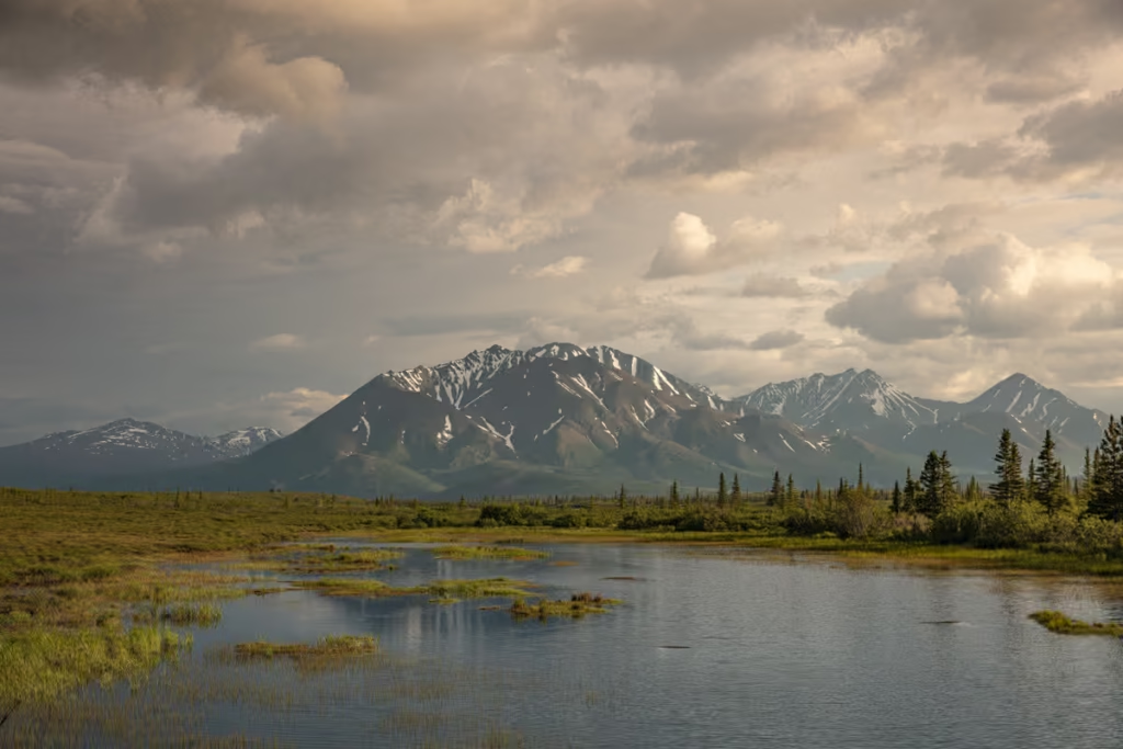
Here at mile 79 you’ll cross Susitna River on a one lane bridge. You will also find the turn off for Valdez Creek Road which leads up to the Valdez Creek Mine.
Milepost 81: Snodgrass Lake Trail
You’ll find the trailhead to Snodgrass Lake along the Denali Highway here. The trail is about 2 miles in to the lake.
Milepost 82: Clearwater Mountain Lodge
Cabin-style rooms on offer at Clearwater Mountain Lodge from $90 to $185/night. For $10 per camper/night, you can gain access to their campground facilities. There is also limited RV space where you can pay $10/person/night for usage. Showers and laundry are available for $10/$5. Tire repair is also available.
Clearwater to Brushkana Creek: Mileposts 82-104
This section of the Denali Highway gradually transitions from open tundra and mountain landscapes toward the boreal forest closer to Cantwell. Along the way, you’ll find historic mining sites, scenic viewpoints, hiking opportunities, and Brushkana Creek Campground.
Milepost 85: Old Valdez Creek Mine
Take a look to the east over the Susitna River into the foothills of the Clearwater Mountains to see the remains of the Valdez Creek Mine that was active from 1903-1995.
Milepost 95: Alaska Range Viewpoint & Canyon Creek Parking
For those headed out to explore the area around Canyon Creek, there’s a lot here to park your car or RV. There are interpretive signs here with information about the Alaska Range with sweeping views out over the peaks.
Milepost 104: Brushkana Creek Campground
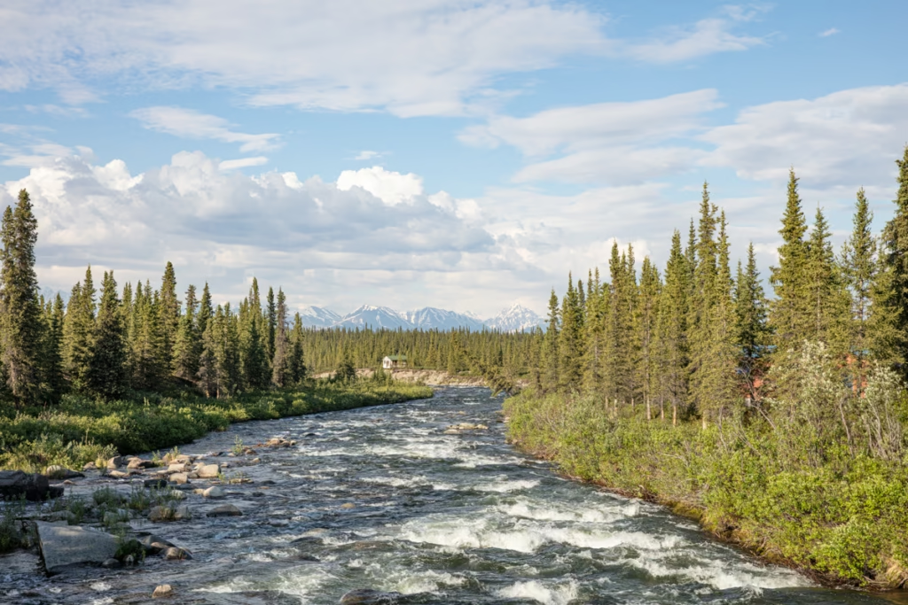
The second of the two BLM maintained campgrounds along the Denali Highway. There are 22 sites in total here along the banks of the Brushkana Creek. Outhouses, potable water, picnic area and interpretive signs are on offer here.
Regular campsites are $12/night and walk in sites are $6/night. Sites are on a first-come, first-served basis.
Brushkana Creek to Cantwell: Mileposts 104-135
The final stretch of the Denali Highway brings you toward Cantwell and the Parks Highway. The landscape becomes increasingly forested, but there are still plenty of opportunities for fishing, river views, and one last look toward Denali before the gravel finally gives way to pavement.
Milepost 107: Canyon Creek
Canyon Creek is a perfect spot to pull off the Denali Highway for grayling fishing.
Milepost 111: Seattle Creek
A one-lane bridge on the Denali Highway crosses Seattle Creek here. Good for dolly varden and grayling fishing.
Milepost 111.5: Taiga Forest
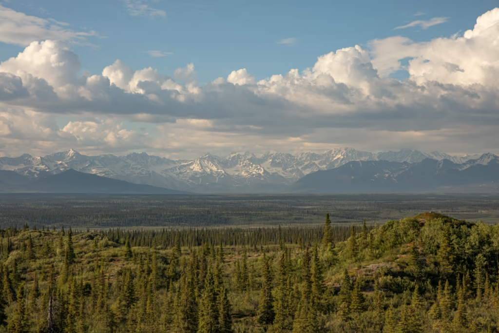
Dominated by spruce trees, Boreal Taiga forests survive under the harsh conditions of their environments with short and cold growing seasons.
Milepost 116: Nenana River
A pull-off along the Denali Highway here offers views and access to the Nenana River which originates from the Nenana Glacier.
Going to Fairbanks? Check out the Fairbanks travel guide
Milepost 124: Denali View
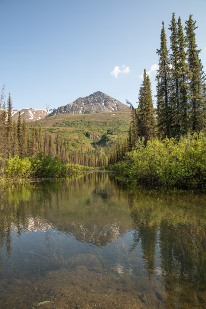
If you’re having a clear weather day you should have amazing views of Denali, North America’s highest peak. Ahead on the Denali Highway at mile 128 you should have great views of the behemoth mountain here too.
Want to self-drive through Denali National Park? Learn how to put in for the annual Denali National Park Road Lottery
Milepost 127.5: Fish Creek
Just after a bridge over the creek, there’s a small parking lot for Fish Creek. Fish Creek offers good grayling fishing in the earlier part of the summer.
Milepost 132: The Pavement is Back!
You’re nearing civilization once again, the gravel gives way again to smooth pavement for the next 3 miles to the Cantwell Junction with the Parks Highway.
Milepost 134.5 Cantwell Junction
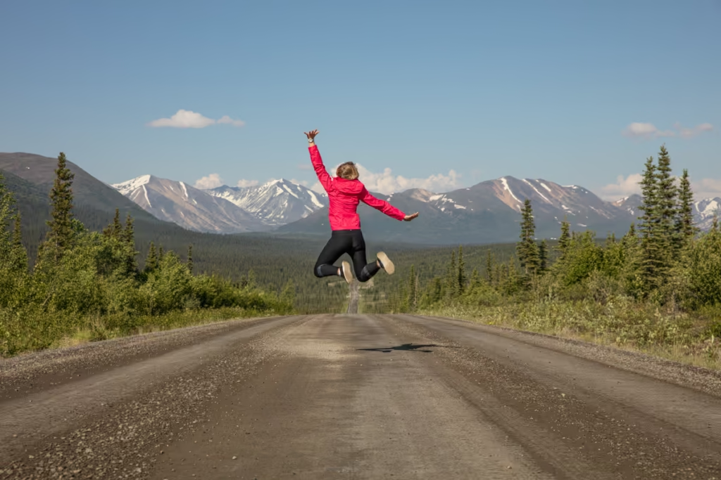
That’s it, you’ve completed the Denali Highway! Unless of course, you do it in reverse like I did and this is actually your starting point on your Denali Highway adventure.
From Cantwell, it’s a short drive north up the Parks Highway to reach Denali National Park. Beyond Denali, you’ll pass through Healy, Nenana, and Esther to Fairbanks. South on the Parks will take you back toward Talkeetna and eventually to Wasilla.
Is the Denali Highway Worth Driving?
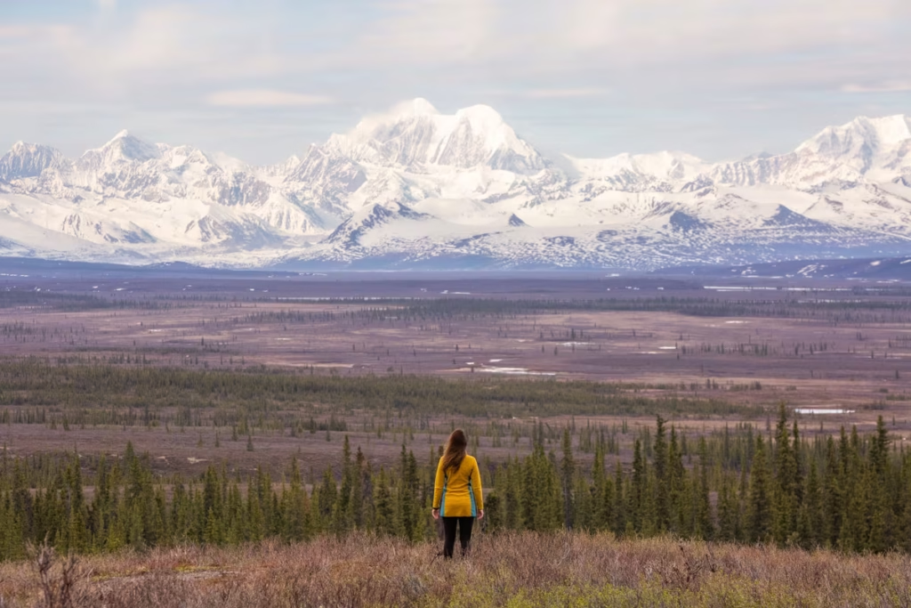
Absolutely, if you’re comfortable with remote gravel-road driving.
The Denali Highway is one of my favorite Alaska road trips because it feels very different from driving the state’s major paved highways. There are no big visitor centers or endless lines of attractions. Instead, the experience is the road itself: broad tundra, glacial valleys, mountain passes, lakes, wildlife and long stretches where you may see very few other vehicles.
It’s not the easiest Alaska road trip. Services are limited, cell service is unreliable, weather can change quickly, and road conditions can range from smooth gravel to rough and muddy sections. But if you’re prepared, that’s exactly what makes the drive special.
Have Any Questions About Driving the Denali Highway?
Ask your Denali Highway questions in the comments section below.
Posts from Alaska
Alaska Highway Road Trip: Alcan Guide
Denali Highway Alaska Road Trip Guide
Eklutna Lake Hike: Twin Peaks Trail
Girdwood Travel Guide
Prince of Wales Island Travel Guide
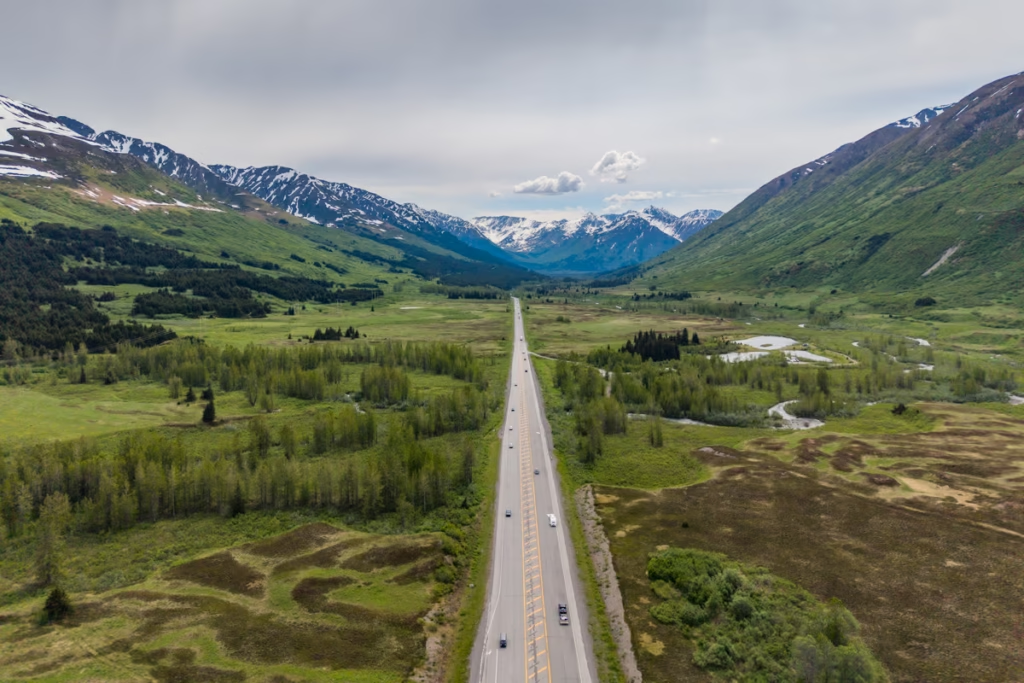
Seward Highway Road Trip Guide
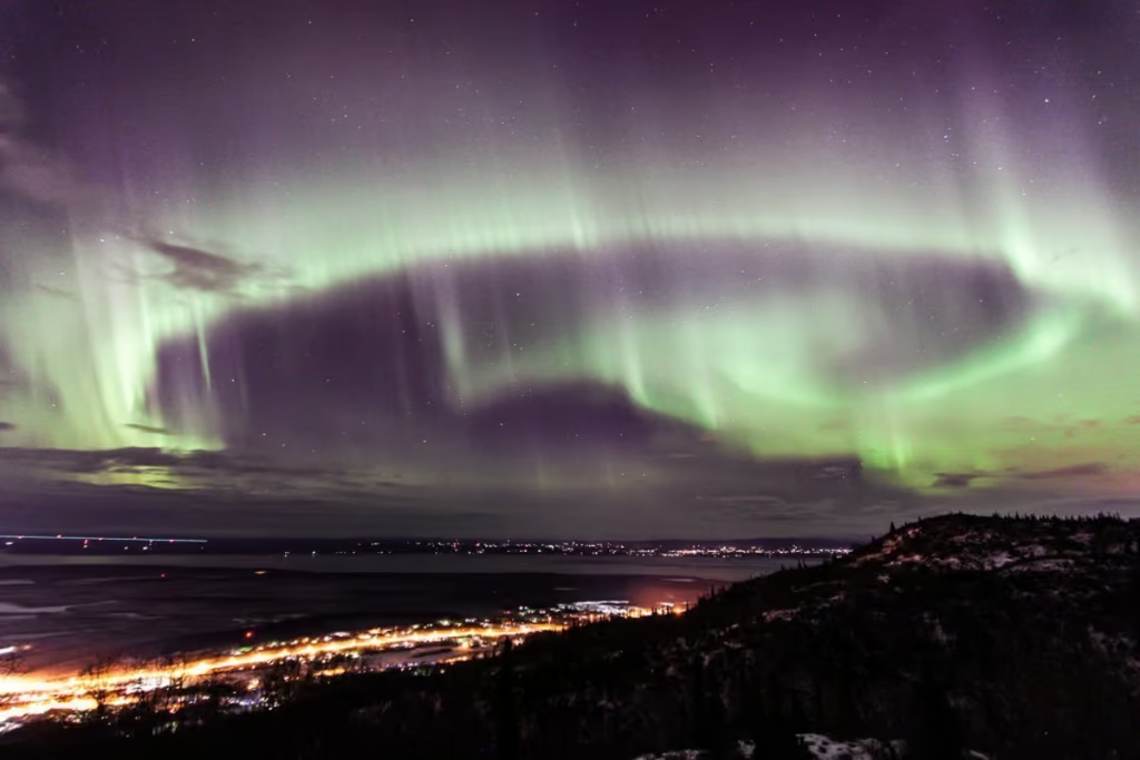
Two Days in Anchorage: The Perfect Anchorage Itinerary
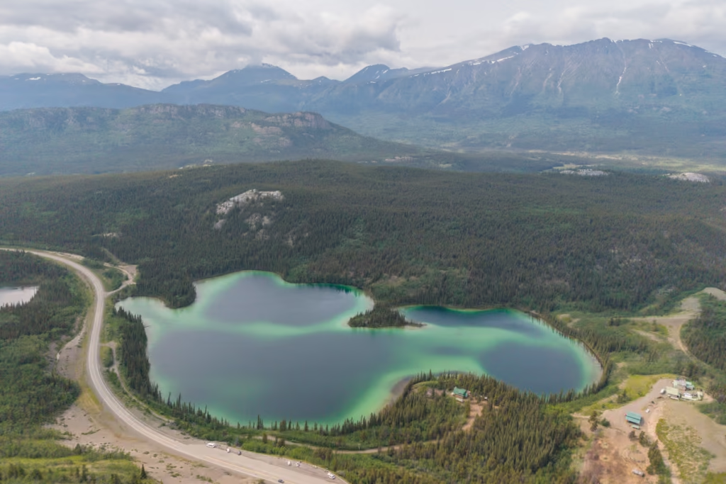
Golden Circle Route: Yukon & Alaska Road Trip
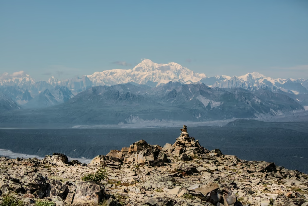
K’esugi Ridge Hike, Alaska

Between Beaches: An Alaskan Winter Getaway
Kenai Fjords National Park Travel Guide
Free Places to Ski & Snowboard Near Anchorage
The Best Hostels in Anchorage, Alaska
A Quick Guide to Hope, Alaska
Shrine of St. Therese in Juneau, Alaska
Wrangell St. Elias Road Trip
Kenai Fjords Tour with Major Marine Tours
Homer Travel Guide
Rabbit Lake Hike in Anchorage, Alaska
Williwaw Lakes Hike in Anchorage, Alaska
Virgin Creek Falls in Girdwood, Alaska
How Much Does it Cost to Travel Alaska? Budget Guide 2026
Fairbanks Travel Guide: 13 Best Things to Do
A Guide to Hiking to Flute Glacier
Anchorage’s Best Hotels
A Day Hike into ANWR
Best Things to do in Alaska
Kayakers Cove, a Perfect Escape from Seward, Alaska
Biking to Knik Glacier in the Winter
Reed Lakes Hike, Hatcher Pass
Seward Travel Guide
Juneau Travel Guide
10 Reasons Visit Alaska
Denali National Park Travel Guide
What to Pack for Alaska
Alaska Travel Guide
How to Get a Denali Road Lottery Permit
Eagle & Symphony Lakes Hike
Ultimate Alaska Road Trip Itinerary
Macdonald Spit Alaska
How to Get to Mendenhall Ice Caves
Silverbow Inn: One of the Best Places to Stay in Juneau
Dalton Highway
10 Day Alaska Itinerary
Gates of the Arctic National Park Alaska
Hiking to Exit Glacier
Mint-Bomber Traverse Hike
Free Things to Do in Anchorage
Best Places to See the Northern Lights in Alaska
Hello,
Loved your informative summaries! And photos. I’m planning a solo road trip in a camper van mid-June. Hoping to spend a few days exploring highway 8. Couple of questions, if I may.
1) The brochures I received from Bureau of Land Management noted some trails have stream crossings/possible muddy conditions. Would you recommend rubber boots to carry along in my daypack? Or are there enough dry trails to leave them in the van.
2) Somewhat connected to the first: how are the mosquitos in mid-June up there? Not just on the trail but at campgrounds. I’m planning on bringing repellent, but wondered if you knew the coil-kind, most effective campground repellent. Don’t want to be chased inside my (very comfortable I’m sure) van the entire evening.
Thanks for any info! Appreciate your sight and adventures.
Tim
Hi Tim,
Mid-June is when the mosquitos begin to start getting quite annoying so have plenty of defense against them. The coils help at camp some. DEET sprays unfortunately are what seem to work best for sprays, however, I do have a couple of hunting guide friends that swear by catnip oil.
For trails, it can still be wet and sloppy along some trails in June, so having rubber boots makes life and clean up a little easier, but laregly can vary depending on how dry (or wet) of a spring we have there.