Utah Highway 24 Road Trip: The Most Alien Drive in Utah
Updated September 2026, Utah Highway 24 Road Trip: The Most Alien Drive in Utah was originally published in August 2023.
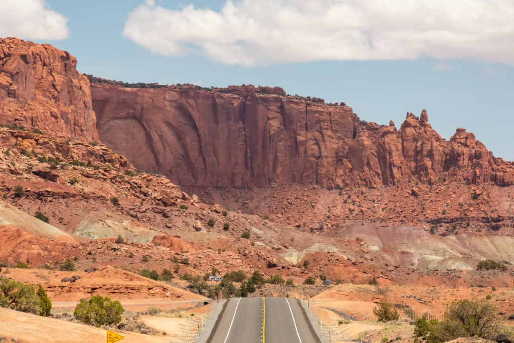
Utah Highway 24, also known as Utah State Route 24 or UT-24, is one of my favorite road trips in Utah. The highway cuts across some seriously strange scenery, passing through Capitol Reef National Park, Hanksville, Goblin Valley State Park, Factory Butte, the Mars-like landscapes of the Bentonite Hille, as you traverse the Utah desert.
And yes, I know Utah has Zion, Bryce Canyon and Arches National Park. But hear me out.
Utah Highway 24 feels like a completely different side of the state. Instead of hopping between Utah’s biggest national parks, you’re driving through enormous stretches of desert, colorful badlands, hoodoo-filled valleys and landscapes that look suspiciously like another planet.
I’ve spent quite a bit of time exploring Utah over the years, including multiple trips around Hanksville and Capitol Reef. My parents lived in St. George for several years, so Utah was never exactly unfamiliar territory, but it wasn’t until I returned to the Highway 24 area after moving to Utah nearly 10 years later, that I realized just how much I’d missed.
My favorite section of the highway is the stretch between Goblin Valley, Hanksville and Capitol Reef National Park, where you can spend days chasing weird rock formations, remote overlooks and some of the strangest landscapes in Utah.
In this Utah Highway 24 road trip guide, I’ll cover the best stops along UT-24, where to stay, what to know before driving the highway, and the best things to do around Hanksville and Capitol Reef.
Need Travel Insurance and Evacuation Services?
Start shopping for travel insurance plans over at IATI Insurance. Readers of the Adventures of Nicole get a 5% discount off your plan.
The Adventures of Nicole partners with Global Rescue to offer the world’s leading medical evacuation and security advisory services. To travel with peace of mind, explore their evacuation coverage.
Utah Highway 24 at a glance
| Highway | Utah State Route 24 (UT-24) |
| Length | About 160 miles |
| Main towns | Loa, Torrey, Hanksville |
| Best known for | Capitol Reef, Goblin Valley, Factory Butte and desert landscapes |
| Best road-trip section | Torrey to Green River |
| Best base | Hanksville or Torrey |
| Best time to drive | Spring and fall |
| My favorite stops | Goblin Valley, Bentonite Hills, Factory Butte and Moonscape Overlook |
Where to Stay Along Utah Highway 24
The best places to stay for a Utah Highway 24 road trip are Hanksville and Torrey, although camping is also an excellent option if you’re prepared for desert conditions.
Hanksville is the better base if your priority is exploring the strange landscapes east of Capitol Reef, including the Bentonite Hills, Factory Butte, Moonscape Overlook and the otherworldly scenery around Caineville.
Torrey is the better choice if you want easier access to Capitol Reef National Park, restaurants and a wider selection of hotels and other accommodation.
Personally, I’d camp along the route whenever conditions allow. There’s something pretty great about waking up surrounded by Utah’s desert landscape instead of immediately checking out of a hotel and getting back in the car.
Things to Know Before Driving Utah Highway 24
Don’t underestimate distances. This is remote Utah, and attractions that look close together on a map can involve long stretches of driving, dirt roads and slow-going tracks.
Fill up before heading into remote areas. Hanksville and Torrey are useful service points, but there are long stretches of Highway 24 where services are limited. Capitol Reef National Park itself has no gas station or restaurant, so don’t assume you’ll be able to refuel once you’re inside the park.
Check road conditions before taking dirt roads. This is especially important after rain. Roads around Capitol Reef and the surrounding BLM lands can become difficult or impassable after storms. The National Park Service updates its Capitol Reef road conditions regularly, and conditions can change quickly with weather.
Pay attention to BLM Lands signs. You will see signs all over the BLM lands saying if OHV (off-highway/road vehicles) is allowed or not.
Don’t drive on wet clay. Bentonite and other desert clay can become an absolute nightmare when wet. What looks like a harmless dirt road can turn into a sticky, slippery mess surprisingly quickly.
Download your maps before leaving town. Cell service is limited in many of the more remote areas around Hanksville and Capitol Reef.
Stay on established roads and trails. The desert soil here is extremely fragile. Cryptobiotic soil can take years to recover from a single vehicle or footstep, so stick to established routes and avoid driving or walking across untouched ground.
The areas along Highwa4 24 are traditional homelands. Most of the destinations listed here along Utah Highway 24 are on Nuwuvi (Southern Paiute) and Nuu-agha-tuvu-pu (Ute) lands.
Leave no trace. As with the above point, things take longer to degrade in the desert, even biodegradable things and organics, so even more of a reason to not leave anything behind.
Top Things to See Along Utah Highway 24
Here are my favorite stops along Highway 24 in Utah. Note that I have tried to list them in an east-to-west order but this can easily be reversed depending on your direction of travel.
Goblin Valley State Park: A Must-See Utah Highway 24 Stop
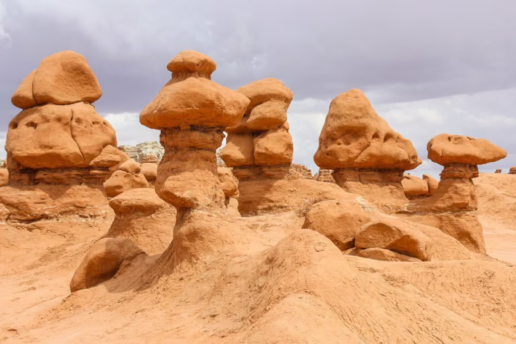
If you’re driving Utah Highway 24, Goblin Valley State Park is one of the easiest and most worthwhile detours to add to your road trip.
From Hanksville, drive north on UT-24 for about 20 miles before turning onto Temple Mountain Road. From there, it’s another roughly 12 miles to the park entrance. The entire access route is paved.
Goblin Valley is famous for its bizarre sandstone hoodoos, known locally as “goblins,” which fill the valley in clusters of orange and red rock. You can wander between them rather than simply admire them from a viewpoint, which is half the fun.
Fun fact: These goblin-like hoodoo rock stacks are a blast to meander between as you appreciate this wild red-orange scenery that looks straight out of a Mars movie scene, so much so, they did film scenes in Galaxy Quest here at Goblin Valley.
The Best Time to Visit Goblin Valey State Park
Goblin Valley is great any time of day, though I suppose, morning and late afternoon will give you the most vibrant colors. Don’t wanna deal with logistics? Check out this Goblin Valley day tour.
There is a campground here for those wanting to spend the night and have more time to explore the funky Goblin Valley hoodoos.
How to Get to Goblin Valley
Goblin Valley is accessed from Utah Highway 24 via Temple Mountain Road, rather than simply being directly on the highway.
The entrance to Goblin Valley State Park is a 35-minute drive (32 miles) from the town of Hanksville.
For those that will be coming from I-70, Goblin Valley State Park is almost equidistant from the start of UT-24 close to Green River at 35 miles away from the junction of I-70 and UT-24.
From Utah Highway 24, turn west onto Temple Mountain Road, and then from there, another left onto Goblin Valley Road which will bring you to the state park.
For a full rundown on visiting Goblin Valley, check out my post on Goblin Valley.
Hanksville: The Best Base for Utah Highway 24
Hanksville is the most useful base for exploring the eastern section of Utah Highway 24.
The tiny desert town sits at the junction of Utah Highway 24 and Utah Highway 95, putting you within easy reach of some of the weirdest landscapes in this part of Utah. Goblin Valley, the Bentonite Hills, Factory Butte, Moonscape Overlook and several other desert attractions are all within driving distance.
Hanksville itself is tiny, with limited services, but that is part of the appeal. You come here for the landscape rather than nightlife. There are fuel stations, convenience stores and a handful of places to stay, including the famous Hollow Mountain store, built into a sandstone formation.
Those that don’t intend to camp and are wanting to stay in Hanksville and make day trips out to explore the wonders of the Utah Highway 24, can stay at the Whispering Sands Motel.
If you’re planning a Utah Highway 24 road trip focused on the Hanksville area, I’d stay here rather than commuting back and forth from Torrey.
Little Egypt Geological Site: A Detour From Utah Highway 24
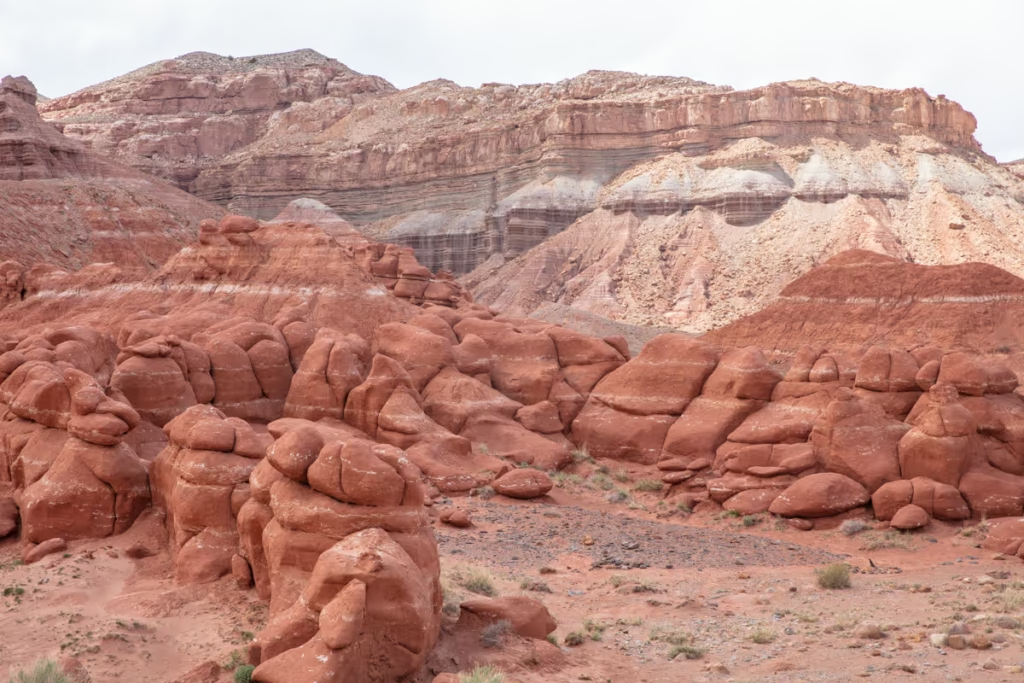
Little Egypt is a little bit of a detour off of Utah Highway 24, but it is still relatively close to Hanksville, so I decided to add it to this post about the UT-24 (though I was on the fence about it).
With that said above, if I had to skip anywhere on this Utah Highway 24 post, Little Egypt would be it. Don’t get me wrong, it’s still a pretty place but it is essentially a smaller version of what you’ll be seeing at Goblin Valley.
However, if what you’re looking for is a more secluded version of Goblin Valley that you will more than likely have completely to yourself, then Little Egypt is going to be worth the detour.
The reddish-orange hoodoos of Little Egypt more or less formed in the exact way the hoodoos of Goblin Valley did, although these guys will get you a bit closer to the Henry Mountains.
The Best Time to See Little Egypt
Little Egypt is best visited any time of day but if photos are what you’re after, then a morning visit around sunrise would be best given how the hoodoos of Litte Egypt are situated tucked against a hill that casts a shadow in the late afternoon.
How to Get to Little Egypt
Getting to Little Egypt is easy and takes about 30 minutes to get to from Hanksville.
From Hanksville, you will turn off of the UT-24 and onto UT-95 to the south.
You’ll eventually reach Turkey Knob Road which you will turn right onto.
Turkey Knob Road T’s off a short distance later, at this point turn left and follow it for about 1.5 miles.
You’ll easily spot Little Egypt on your right as you approach and there is even a BLM sign there.
For all the info you’ll need before visiting Little Egypt check out my post on the Utah Highway 95 detour to Little Egypt.
Those with a little bit more time to explore this area south of Hanksville can continue to the Henry Mountains as well.
Bentonite Hills & the Mars Desert Research Station
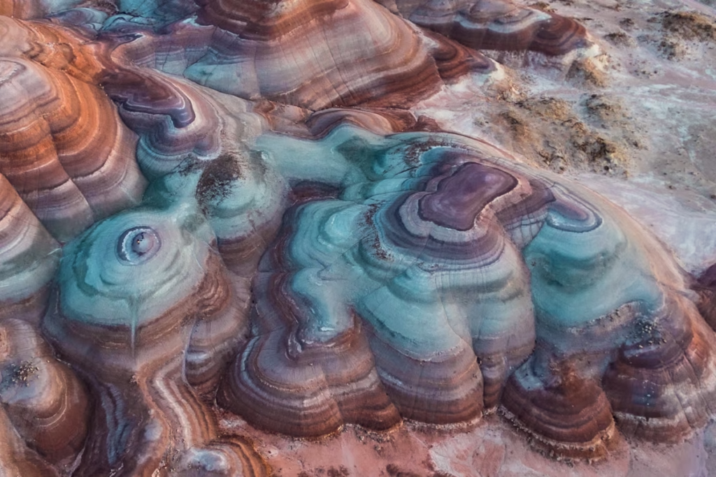
The Bentonite Hills are one of the most unusual stops near Utah Highway 24, and they’re honestly the main reason I returned to this part of Utah after a 10-year break.
Truth be told, the chance to see the rainbow Mars out here at the Bentonite Hills is what lured me back to Utah Highway 24 in the first place (Unfortunately, I didn’t know about the Bentonite Hills back when I drove the UT-24 10 years prior).
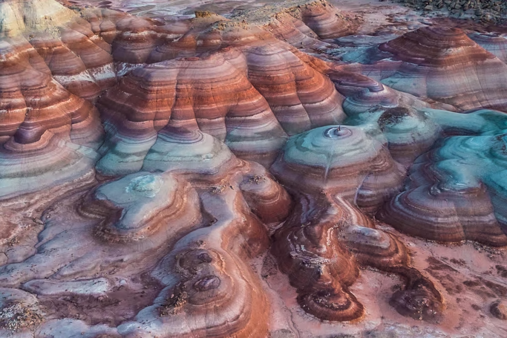
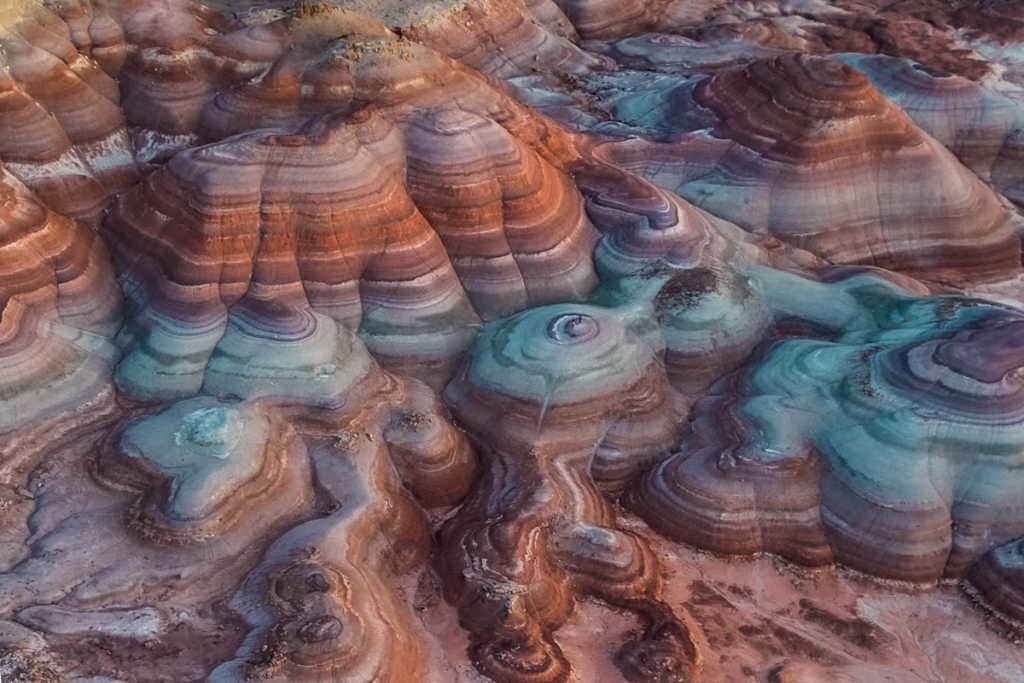
The hills are splashed in striations of color and are so similar to the surface of Mars that the Mars Society built the Mars Desert Research Station (MDRS) at the southern end of the Bentonite Hills in the early 2000s.
These unusually colorful hills are comprised of Bentonite, a delicate clay that looks almost popcorn-like on the surface.
As such, it’s recommended to try and only walk in washes and only obvious paths out here in the Bentonite Hills.
There are no official trails in the area around the Bentonite Hills but you will see some trodden paths going up between some of the hills to reach the tops, so try to stick to those as bentonite clay is very fragile and it’s best to avoid disturbing any new areas.
Astronauts come out here to the Bentonite Hills to do research and test gear for potential Mars landings and in general further Mars exploration.
The Best Time to Visit the Bentonite Hills
Blue hour. Hands down.
While the Bentonite Hills are cool to visit any time of day, you’ll get the best display of colors during blue hour just before sunrise and just after sunset.
Drones are allowed here at Bentonite Hills outside of the small area that is well-marked, and used by the MDRS. A drone will give you an unbelievable perspective of this place that you just won’t get at ground level.
If you don’t want to deal with driving the off-roads to get you to the Bentonite Hills from Utah Highway 24, check out this Bentonite Hills day tour.
How to Get to Bentonite Hills
The Bentonite Hills are quite close to Hanksville only about 6.5 miles away.
To get here you’ll need to head west on Utah Highway 24 from Hanksville for about 3 miles and make a turn to the north onto S. Cow Dung Road (it’s not signposted but that is the name on Google Maps.
Stay on the dirt road that is S. Cow Dung for about 3 miles and you’ll pass the turn-off for the Mars Desert Research Station (to my knowledge you aren’t allowed to visit). Keep going about 0.5 miles or so beyond here and you’ll reach an area where you can park your vehicle just off the road and walk up to the Bentonite Hills.
For more information about the Bentonite Hills, how to get there, and more on its unusual geology, check out my post about visiting the Bentonite Hills.
Long Dong Silver Spire
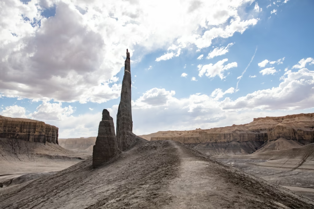
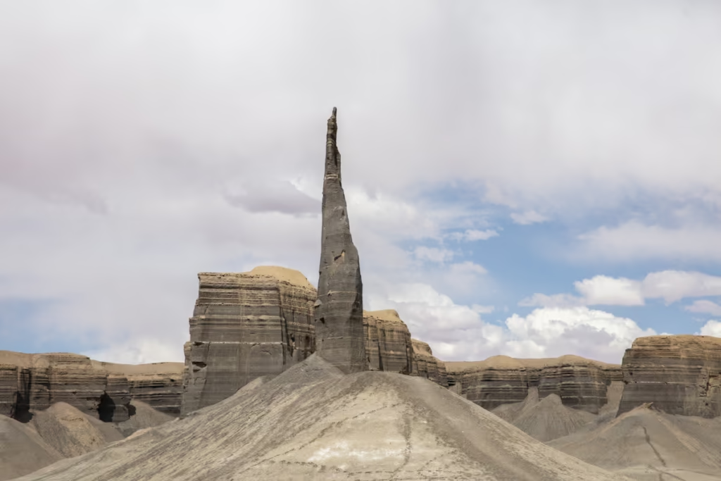
One of the strangest named attractions along Utah Highway 24 has to be Long Dong Silver, a tall black rock spire hidden in the desert west of Hanksville. With a funny name like Long Dong Silver, how can you resist visiting this monolith of a spire?
The Long Dong Silver hike is a nice, flat walk from a pull-off along Utah Highway 24, though you can opt to cut it shorter by driving in a bit further until you hit the signed point where OHVs are no longer allowed.
The friendly people who told me about Long Dong Silver told me I’d “feel like I was walking straight to Mordor”, and I guess if I was into Lord of the Rings it would be 100% true.
Long Dong Silver’s view is tucked away from UT-24, making it feel like an almost secret spot, in fact, no one else was there when I visited.
The views of this massive black spire surrounded by stark and textured cliff faces are reason enough to hoof it out here to Long Dong Silver, if not for the inability to resist going to a place with such a funny name.
Also- don’t forget to walk to the far side of Long Dong Silver for equally as beautiful views in the other direction.
Best Time to Hike to Long Dong Silver
The best time of day to make the trek out to Long Dong Silver is either at sunrise or just before sunset.
This is especially true in the hot summer months to avoid the intense sun as there is no shade on the way out there.
Secondly sunrise and sunset are best for lighting purposes to get the best photos.
But did I heed my own warning? Nope, I went around 2 in the afternoon, though it was early May so still not too hot and I had other places along Utah Highway 24 I was more concerned about capturing at sunrise and sunset.
How to Get to Long Dong Silver Spire
Long Dong Silver is pretty easy to get to with a short drive from Hanksville and a breezy walk out there.
The pull-off on UT-24 is located about 7.6 miles west of Hanksville. Here you can either park and walk the remaining 2 miles to Long Dong Silver (and another 2 miles back), or you can drive a bit further in to cut the walk in half.
For more detailed instructions on how to get here, check out my post about walking to Long Dong Silver.
Factory Butte: A Utah Highway 24 Landmark
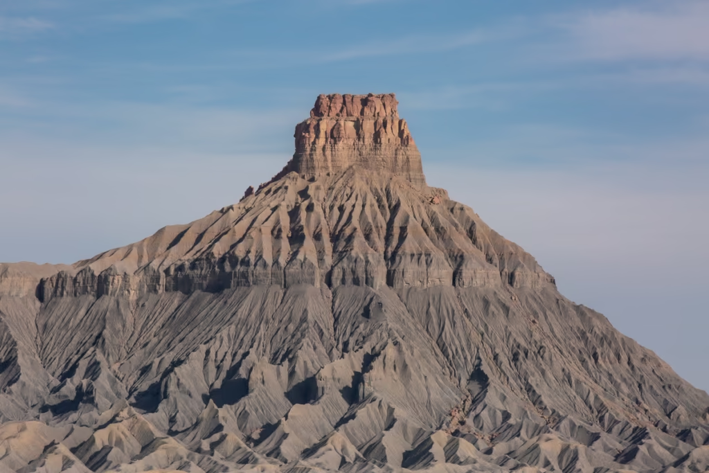
Factory Butte is one of the most recognizable landmarks along Utah Highway 24, rising dramatically from the Mancos Shale badlands west of Hanksville. With its almost crinkled and colorful faces, Factory Butte is impossible-to-miss along Utah Highway 24 as you travel between Hanksville and Capitol Reef.
Factory Butte’s mesa rises high above a wide and barren badlands plateau floor comprised of mancos shale, a unique sediment found in this whole area near Hanksville along UT-24.
Another reason that Factory Butte is impossible to skip is that you will inevitably pass it on your way to visit the Moonscape Overlook.
Best Time to Visit Factory Butte
Factory Butte is best visited any time of course, but the coloring is much better if you visit just after sunrise or just before sunset. A great way to enjoy a visit out here along your Utah Highway 24 journey is to hop on a tour to Factory Butte.
So to soak in the beautiful purples, oranges, and golds of Factory Butte plan to visit it just after you catch the sunrise at Moonscape Overlook or just before you get there in the late afternoon for sunset.
There are also some cool rocky outcrops nearby Factory Butte that can give you some cool features to add to your photos.
How to Get to Factory Butte
Factory Butte is not too far from Moonscape Overlook, on North Factory Butte Road which is located about 12 miles west of Hanksville off of Utah Highway 24.
You’ll easily see Factory Butte from UT-24 long before you get to it. A few miles up N. Factory Butte Road you’ll see an OHV trail leading westward (not too far from the turn-off to the east to reach Moonscape Overlook) toward a rocky outcrop. Follow these as far in as you’re comfortable.
For full details on how to get to Factory Butte from Utah Highway 24 and more about its geology check out my post about visiting Factory Butte.
Moonscape Overlook: The Best View Along Utah Highway 24
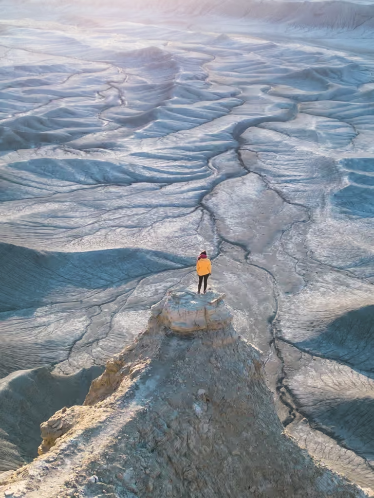
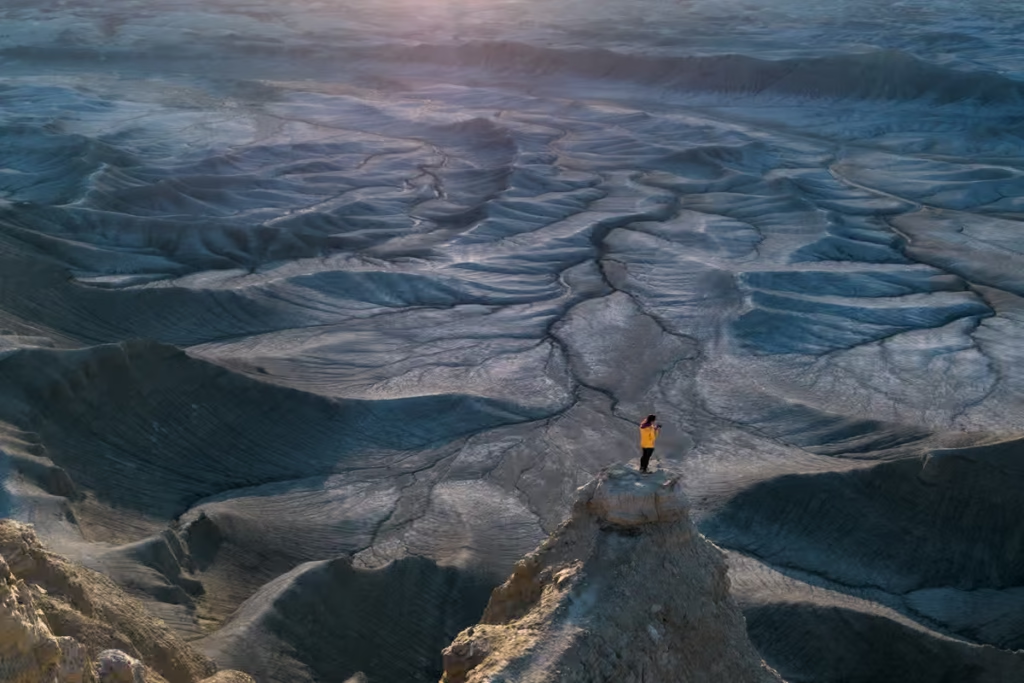
Moonscape Overlook is one of my favorite stops near Utah Highway 24. Looking out over Blue Valley from the edge of the badlands, it’s easy to understand where the name comes from. It’s a place that you just have to see to believe and trust me its name undeniably fits.
From the overlook, you’ll have expansive views of the lunar-like landscapes of the Blue Valley which will make you feel as if you’ve just transported to the face of the moon.
This is an absolute highlight just off of UT-24 and is one not to be missed.
Best Time to Visit The Moonscape Overlook
Not a doubt in my mind sits with the fact that Moonscape Overlook is best right at sunrise as blue hour shifts to golden hour right when the sun just peeks over the desert horizon.
A close second, of course, is to visit at sunset, the way the last rays of light hit it lights up the rose-colored cliff faces in the distance, and the shadow from the overlook lets the Blue Valley floor show of its azure hues, giving the Moonscape Overlook at sunset an almost eerie feeling.
As such, it is worth camping up here at Moonscape Overlook for the night to capture both sunset and sunrise and wake up there right on the edge of this lunar landscape.
In the midday sun, Moonscape Overlook is more of a slate grey, backed by yellow-gold cliffs.
Do note that there are no facilities up here at the Moonscape Overlook parking lot, so you’ll need to pack everything out with you and be self-sufficient.
Another thing to know too is that it can get quite windy up here.
How to Get to Moonscape Overlook
As mentioned in the section about Factory Butte, you’ll take N. Factory Butte Road from Utah Highway 24, following it for about 6 miles. When you reach Coal Mine Road, you’ll turn east and follow it the remainder of the way to the Moonscape Overlook viewpoint.
For more information on getting to Moonscape Overlook and about its strange landscape that will transport you straight to the moon check out my post on Moonscape Overlook.
Cathedral Valley: A Remote Detour From Utah Highway 24
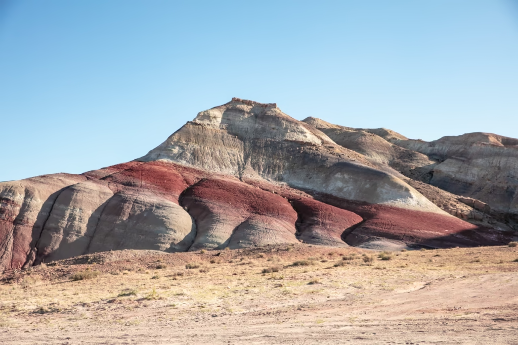
Cathedral Valley is one of the most remote areas of Capitol Reef National Park and makes an ambitious detour from Utah Highway 24.
The landscape here is huge and wonderfully strange, with enormous sandstone formations including the Temple of the Sun and Temple of the Moon. But this is not a casual roadside attraction. Roads into Cathedral Valley are unpaved and conditions can change quickly after rain or snow.
Check the National Park Service’s current Capitol Reef road conditions before attempting the drive. Some road into and around Capitol Reef can be affected by late summer monsoons and can be impassible at times..
The Best Time to Visit Cathedral Valley
Cathedral Valley is quite the jaunt considering its short distance from Hanksville or Torrey, so you should plan for it to be a half to full-day adventure.
With that said, any time of day is lovely to visit Cathedral Valley, however, sunrise is the best time as far as lighting is concerned.
I would recommend spending the night out here if you have the time as there is space to set up camp near the famous Temple of the Sun & Moon, that way you can wake up and already be here.
Drone photographers should take note that Cathedral Valley sits within the park boundaries of Capitol Reef and as such flying drones here is not allowed, so to avoid any trouble, don’t do it (that is unless you have the proper permits to do so given by the national park).
How to Get to Cathedral Valley
Although Cathedral Valley is a relatively short distance on a map from Hanksville, it’s slow going due to the dirt road you have to take to access it. By road, it’s only 35 miles from Hanksville, but you can expect it to take about 90 minutes to reach Cathedral Valley from there.
To get to Cathedral Valley, you’ll need to head west on Utah Highway 24 from Hanksville or east from Torrey.
Near Cainesville, you’ll head north onto N. Cathedral Road (this will be located 18 miles west of Hanksville or 29 miles east of Torrey on the UT-24.
Follow N. Cathedral Road for about 2.5 miles and at the fork take the one that veers slightly to the left to continue following Cathedral Road.
Another 13 miles beyond here will take you to the Temple of the Sun and Temple of the Moon rock formations.
Note that if taking this route out and back, you most likely will not need a 4WD as some things online state.
That said, if you plan to do the entire Cathedral Valley Loop there is a spot where you’ll need to ford a river and thus here you probably are going to need a 4WD.
Capitol Reef National Park Along Utah Highway 24
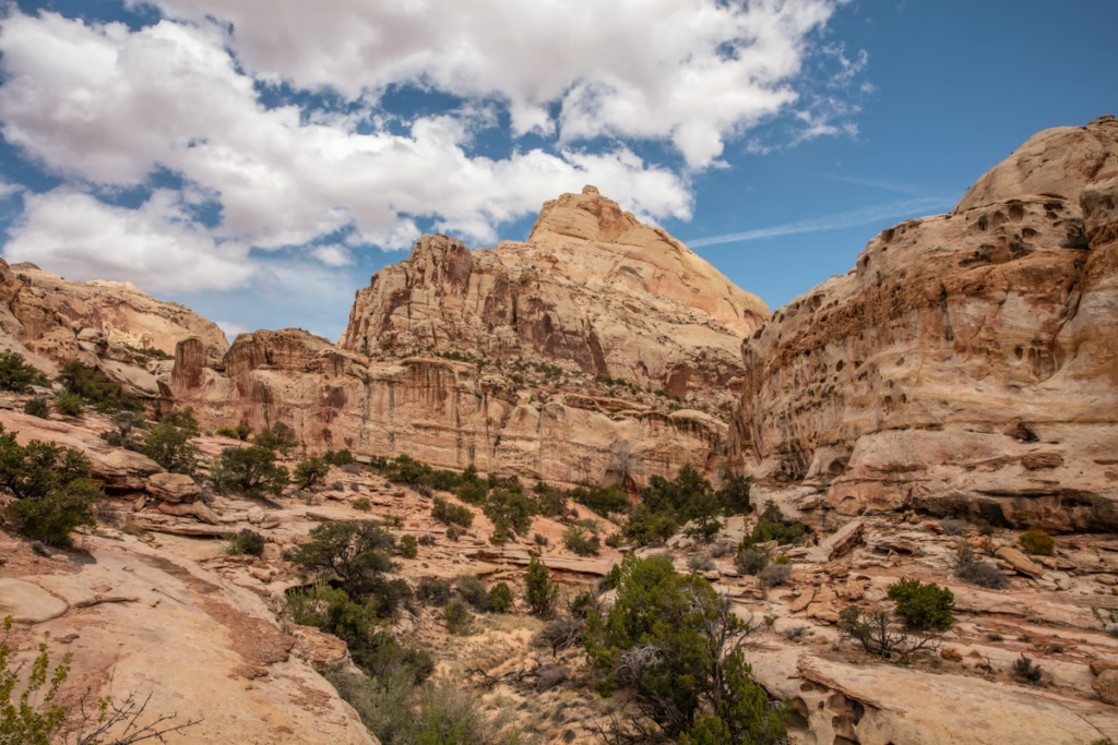
Capitol Reef National Park is the centerpiece of the western half of this Utah Highway 24 road trip.
Utah Highway 24 cuts directly through Capitol Reef, making this one of the easiest national parks in Utah to explore without adding a major detour to your route. The highway crosses roughly 15 miles of the park from west to east and passes through the Fruita Historic District.
Along this stretch of UT-24, you’ll find viewpoints, hikes, Fremont rock art, historic buildings, orchards and access to some of Capitol Reef’s best-known trails.
Some of the best stops along Utah Highway 24 in Capitol Reef include Chimney Rock, Panorama Point, Goosenecks Overlook, Sunset Point, the Capitol Reef Visitor Center, Fruita Schoolhouse, the Fremont petroglyph panel, Hickman Bridge and Grand Wash.
Utah Highway 24 crosses Capitol Reef National Park for roughly 15 miles, and you could easily spend half a day exploring the viewpoints, historic sites and hikes along the route. If you’re simply driving through, allow at least 1–2 hours for scenic stops, but I’d give yourself longer if you want to hike.
To best explore the best of Capitol Reef National Park from Highway 24, take a look at this Capitol Reef National Park tour.
The Best Time to Visit Capitol Reef National Park
Getting an early start is best to maximize your time in Capitol Reef and to avoid the strong midday sun if you’re visiting in the summer months.
How to Get to Capitol Reef National Park
The closest town to Capitol Reef National Park is Torrey, however, Hanksville isn’t awfully far away either.
Capitol Reef is pretty straightforward to access as it sits right along Utah Highway 24 so I’m not going to go into any condescending details on that here.
Those that are trying to access the Cathedral Valley District should use Cathedral Valley Road as mentioned earlier in this post under that section.
Anyone wanting to explore the Waterpocket Fold will need to take Notom-Bullfrog Road south from UT-24 and follow it until they reach Burr Trail Road and head west onto it. This will eventually take you to Boulder where you can get on Utah Highway 12 back to Torrey.
How Long Do You Need for Capitol Reef Along Highway 24?
If you’re driving Utah Highway 24 purely as a through-route, you can cross the Capitol Reef section in under an hour. But that would be a massive waste because some of the park’s easiest sights are right along the highway.
1–2 hours: Viewpoints, petroglyphs and a couple of quick stops.
Half day: Add Hickman Bridge, Grand Wash or another short hike.
Full day: Explore the Fruita Historic District, hike, visit the visitor center and spend some time among the historic orchards.
If you have the time, I’d give Capitol Reef at least half a day.
Torrey: A Great Base For the Western End of Utah Highway 24
Torrey is the best place to stay if you’re approaching Utah Highway 24 from the west or want easier access to Capitol Reef National Park.
It’s considerably more developed than Hanksville, with more hotels, restaurants and services, while still putting you within easy reach of the highway.
I’d choose Torrey for comfort and Capitol Reef access and Hanksville for desert exploration and the eastern Utah Highway 24 attractions.
Check out the different accommodation options there are in Torrey here.
Utah Highway 24 Road Trip Route
Utah Highway 24 runs across central Utah, connecting the Salina area in the west with I-70 near Green River in the east. The highway passes through Loa, Torrey, Capitol Reef National Park and Hanksville before reaching the desert east of Hanksville.
For this guide, I’m focusing primarily on the most dramatic section between Torrey and the I-70/Green River area, with extra attention to the Hanksville area where you’ll find many of the highway’s strangest landscapes.
West to east:
Torrey → Capitol Reef National Park → Caineville → Hanksville → Factory Butte → Goblin Valley detour → I-70 / Green River
East to west:
Green River / I-10 → Goblin Valley → Factory Butte → Hanksville → Cainesville → Capitol Reef → Torrey
Utah Highway 24 Road Conditions
Utah Highway 24 itself is paved, but many of the attractions mentioned in this guide require turning onto unpaved BLM or National Park Service roads.
This distinction matters. The main highway can be perfectly fine while a dirt road to Moonscape Overlook, Cathedral Valley or another remote attraction is muddy, rough or impassable.
Before leaving Hanksville or Torrey, check current weather and road conditions, particularly if you’ve had recent rain.
Capitol Reef National Park publishes current conditions for roads in the Fruita, Waterpocket and Cathedral Valley districts. Conditions can change quickly after storms, so check the NPS page immediately before heading onto any unpaved route.
Have any questions about any of these places along Utah Highway 24?
Been on a road trip along Utah Highway 24? What are your favorite stops?
Have questions about driving Utah Highway 24? Ask in the comments section below.
Posts from Utah
Moonscape Overlook Guide, Utah
Bentonite Hills Guide, Utah
Utah Highway 24 Road Trip Guide
Pink Waters at Stansbury Island, Utah
Utah’s Pink Lake at Spiral Jetty
Long Dong Silver, Utah
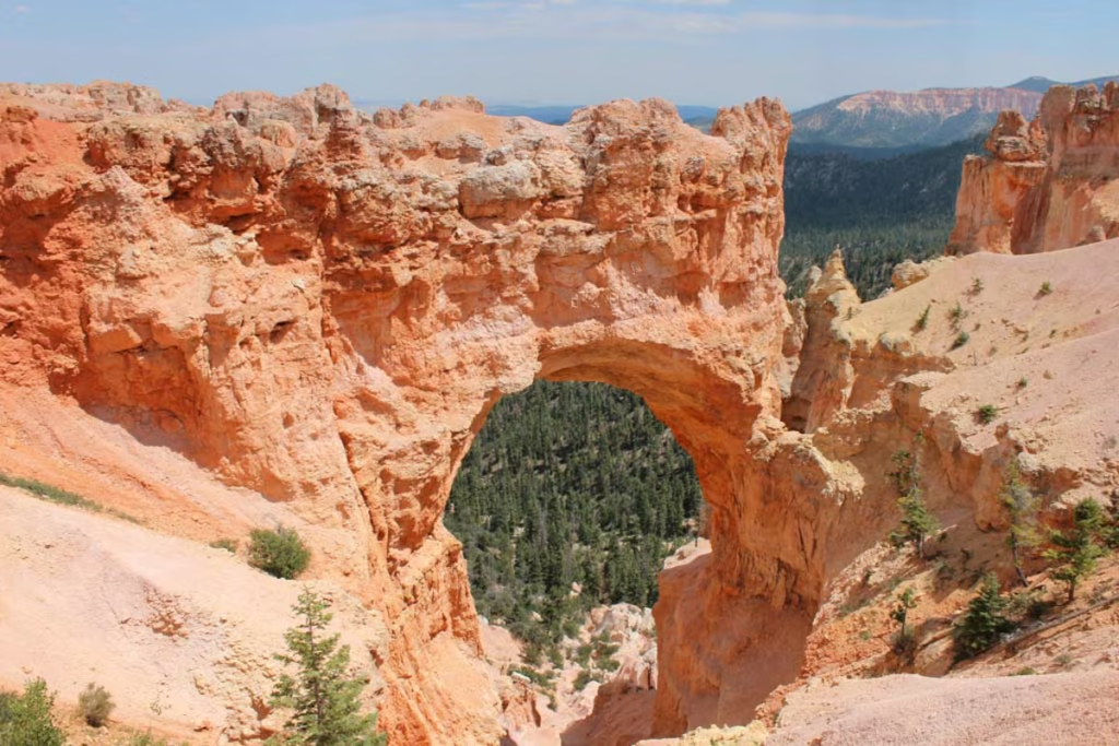
Two Week American Southwest Road Trip
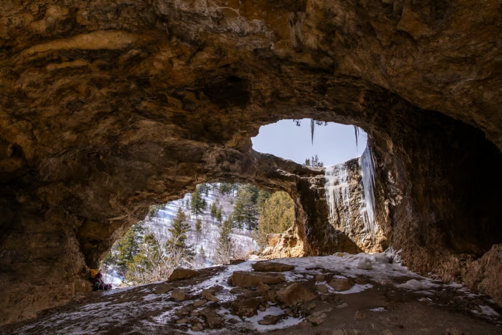
Wind Cave Hike in Logan Canyon, Utah
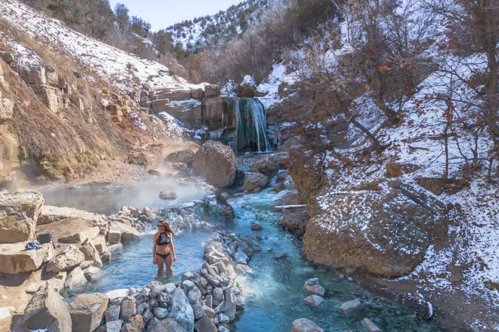
Fifth Water Hot Springs, Utah: A Hike to Scenic Pools
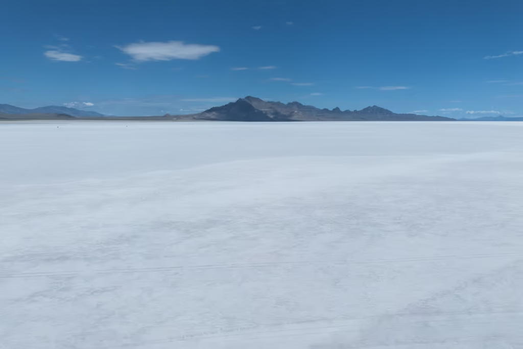
Visiting the Bonneville Salt Flats, Utah
Visiting Goblin Valley, Utah
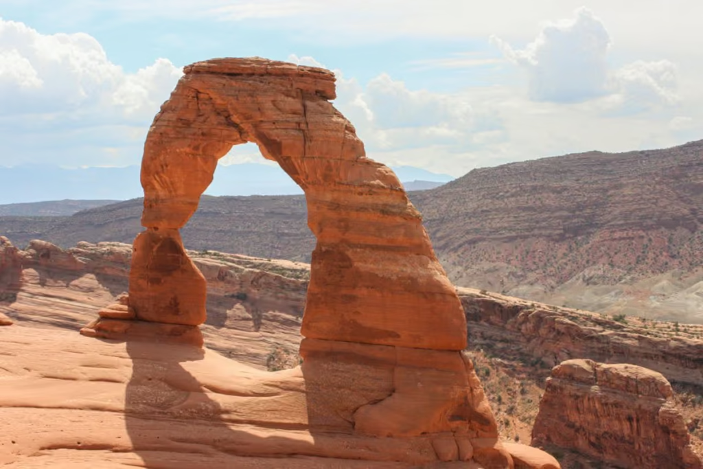
7 Day Southern Utah Road Trip Itinerary
Little Egypt Geological Area, Utah
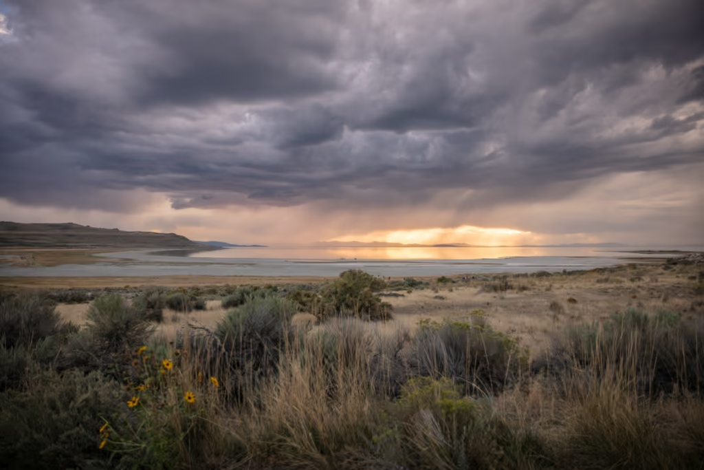
Antelope Island State Park Near Salt Lake City
Factory Butte, Utah