K’esugi Ridge Hike in Denali State Park, Alaska
Updated September 2026, K’esugi Ridge Hike in Denali State Park, Alaska was originally published in May 2022
The K’esugi Ridge Trail is one of Alaska’s best multi-day hikes, crossing the high country of Denali State Park with sweeping views toward Denali and the Alaska Range. The full route is just over 29 miles (47 km), with multiple trailheads allowing you to customize the length and direction of your trek.
I hiked K’esugi Ridge from Little Coal Creek to Byer’s Lake, the direction I recommend for most hikers because it has less elevation gain. Along the way, the trail climbs above treeline, crosses open tundra, passes alpine lakes and tarns, and winds through some surprisingly cool rock formations.
This guide covers K’esugi Ridge trailheads, the best time to hike, transportation and shuttles, Denali views, the Little Coal Creek to Byer’s Lake route, what to pack, camping, and safety.
Start planning your Alaskan adventure: The Ultimate Alaska Travel Guide
Need Travel Insurance and Evacuation Services?
Start shopping for travel insurance plans over at IATI Insurance. Readers of the Adventures of Nicole get a 5% discount off your plan.
The Adventures of Nicole partners with Global Rescue to offer the world’s leading medical evacuation and security advisory services. To travel with peace of mind, explore their evacuation coverage.
- K’esugi Ridge Hike at a Glance
- Where is K’esugi Ridge?
- K’esugi Ridge Trailheads: Little Coal Creek, Byer’s Lake and Ermine Hill
- K’esugi Ridge Shuttle: Getting Between Trailheads
- Best Time to Hike K’esugi Ridge
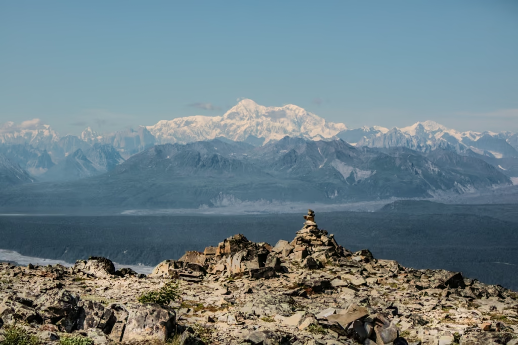
- Viewing Denali from K’esugi Ridge
- K’esugi Ridge Trail: Little Coal Creek to Byer’s Lake
- What to Pack for the K’esugi Ridge Hike
- K’esugi Ridge Safety
- Is K’esugi Ridge Worth Hiking?
K’esugi Ridge Hike at a Glance
| Location | Denali State Park, Alaska |
| Distance | 29+ miles | 47+ km |
| Difficulty | Moderate to challenging |
| Recommended duration | 3 days | 2 nights |
| Recommended direction | Little Coal Creek → Byer’s Lake |
| Best months | July and August |
| Typical duration | 3 days / 2 nights |
| Highest point | 3,494 feet |
| Trail type | Point-to-point |
| Denali views | Weather dependent |
| Camping | Backcountry |
Where is K’esugi Ridge?
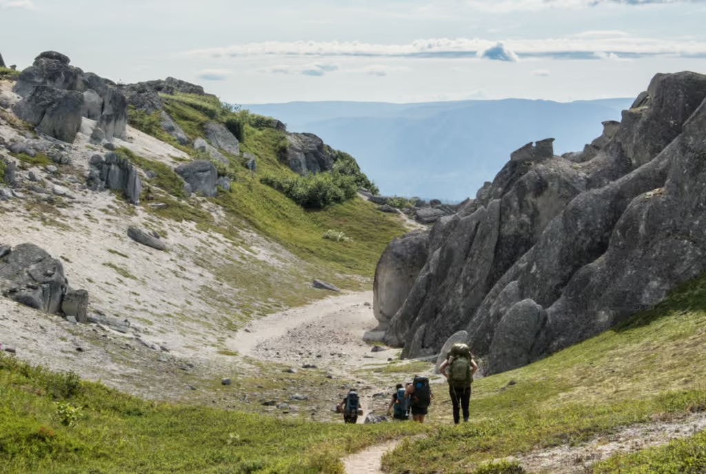
K’esugi Ridge is in Denali State Park (not Denali National Park!), southeast of Denali across the Susitna River valley. The trail offers some of the best opportunities to see 20,310 foot Denali, North America’s highest peak, and the Alaska Range from the park, although clear views depend heavily on weather.
The K’esugi Ridge route covered in this guide runs from Little Coal Creek Trailhead to Byer’s Lake, about 165 miles and 149 miles from Anchorage, respectively.
K’esugi Ridge Trailheads: Little Coal Creek, Byer’s Lake and Ermine Hill
There are multiple trailheads for the K’esugi Ridge Hike, but what I am going to cover below is starting from Little Coal Creek Trailhead and ending at Byer’s Lake. The reason why starting at Little Coal Creek and ending at Byer’s Lake is recommended is because the elevation gain is less that way, though if you’re looking for an even bigger challenge then starting at Byer’s Lake is an option.
Between Little Coal Creek and Byer’s Lake, there is the Ermine Hill Trailhead. If starting from Ermin Hill and ending at Byer’s the distance is 18.5 miles and if you go from Little Coal Creek to Ermine hill it is also 18.5 miles in distance. If you use Ermine Hill I would recommend the Ermine Hill to Byer’s leg over the Little Coal Creek to Ermine Hill leg because I found the landscapes more interesting.
Another option is to continue to Troublesome Creek instead of ending at Byer’s Lake which will tack on an additional 7.67 miles.
- Little Coal Creek Trailhead: Best starting point for the route described here.
- Ermine Hill Trailhead: Provides a shorter option and access to the middle portion of the ridge.
- Byer’s Lake Trailhead: The southern/eastern end of the route.
- Troublesome Creek: Adds approximately 7.7 miles beyond the main Byer’s Lake route.
K’esugi Ridge Shuttle: Getting Between Trailheads
Because K’esugi Ridge is a point-to-point hike, you’ll need to arrange transportation between the trailheads unless you have two vehicles.
Obviously, there is some considerable distance between the trailheads so if you’re not traveling with multiple vehicles where one could be left at say Byer’s Lake and the other taken to Little Coal Creek to start you’ll likely want to utilize a shuttle service or try your thumb at hitchhiking (unless you want to walk along the highway for forever, which doesn’t sound like fun to me).
You can check out Alaska Shuttle or Denali River Guides to book a shuttle between the two trailheads. It looked like prices were about $22 per person for a shuttle between Byer’s and Little Coal.
We did not go the shuttle route when we did the K’esugi Ridge Hike- we ended up hiking out super late (you’ll learn why later, but FYI: I wouldn’t recommend doing this trek in two days!) and we happened to get lucky and there was another group who also was descending at the same time as us to Byer’s Lake and managed to hitch a ride with them to grab our car up at Little Coal Creek.
Checking out the national park too? Read the Denali National Park Travel Guide
Best Time to Hike K’esugi Ridge
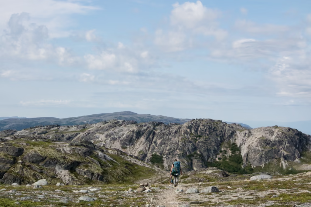
July and August are the best months to hike K’esugi Ridge, when conditions are generally more favorable and the trail is more accessible. Early September can also work, although temperatures can drop below freezing at night.
June and even at times, early July can be a little mucky and damp, though if you do this after/during some rains you can expect these conditions at any point in the summer (either way, always be prepared for parts of the trail to be sloppy).
Later in summer in August and even September the trail can be a bit overgrown, which isn’t unusual in Alaska in general. September and late August will yield wild blueberries along the K’esugi Ridge Trail too which is a bonus.
For reference, we did K’esugi Ridge the last weekend in July and the trail is mostly in really good condition aside from a few overgrown patches. It also happened to be the hottest weekend that summer too so we lucked out and had crystal clear views of Denali.
Viewing Denali from K’esugi Ridge
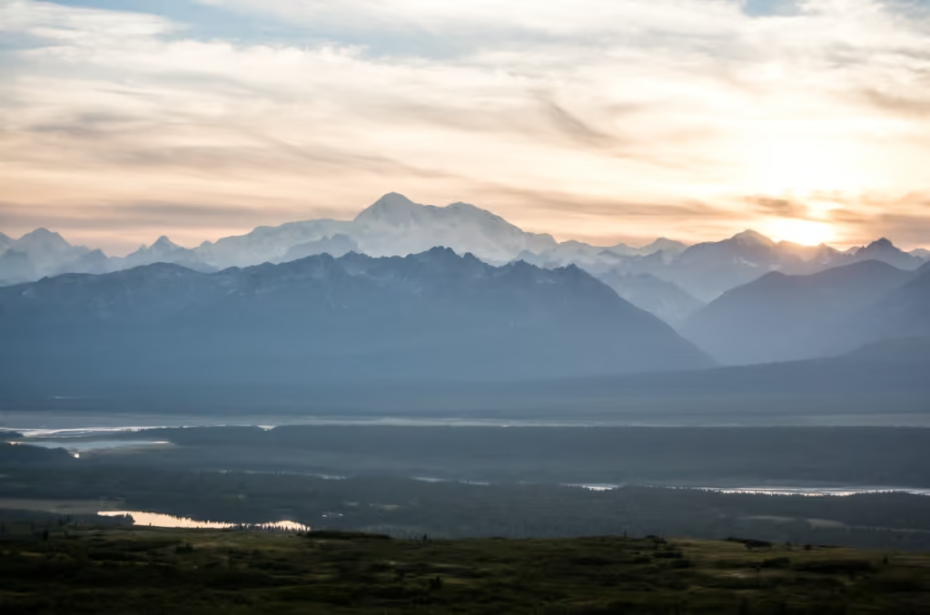
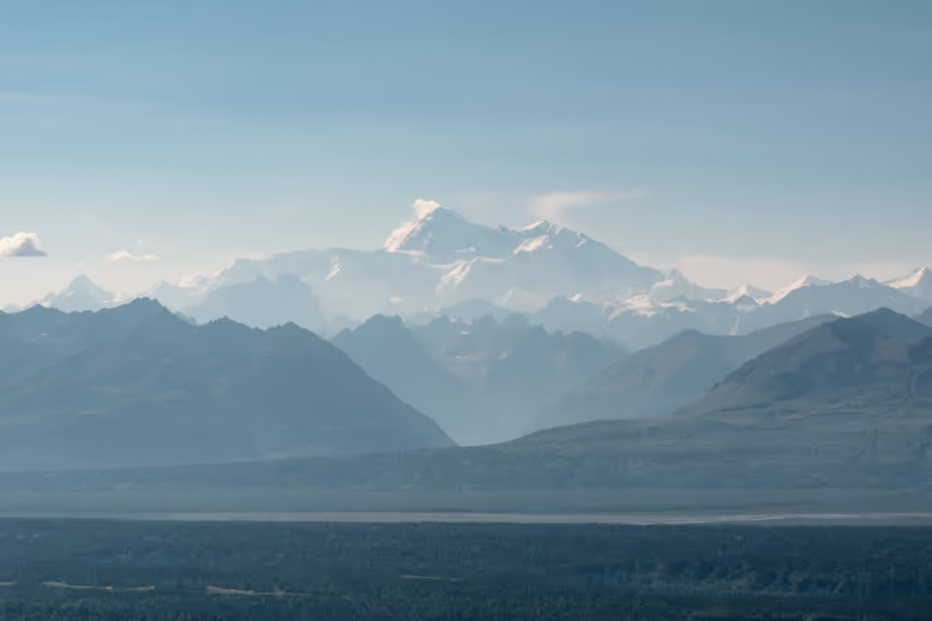
Many trekkers and backpackers come with the hope that they will have uninterrupted views of Denali as well as the other icy peaks of the Alaska Range- but know that the mountain is typically only visible 30% of the time. Alaska can have downright terrible weather even in summer.
So come with your fingers crossed you’ll be able to lay eyes on Denali, but expect that you will not, as the odds are stacked against you.
Including K’esugi Ridge on your Alaska trip? Check out my Anchorage to Fairbanks Road Trip Itinerary for more ideas
K’esugi Ridge Trail: Little Coal Creek to Byer’s Lake
Ok I will preface this section with this: I broke my phone in the Little Coal Creek parking lot and my camera battery died just after we left the section with the cool rock formations- so I don’t have any photos (sorry, about that… I swear I am more careful with phones and pack more batteries these days!).
I split the K’esugi Ridge Hike into three sections, though do note some of you may break this into four days.
Section 1: Little Coal Creek Trailhead to Mile 8 Divide
0 to 8 miles
Starting from The Little Coal Creek Trailhead, you’ll meander through the forest for a little bit before the uphill begins.
Before too long you’ll be above treeline with good views of Denali (if it’s not cloudy, it’ll more than likely be cloudy) and cutting across Little Coal Creek (it was crazy low when I did the hike) and be up on the ridgeline.
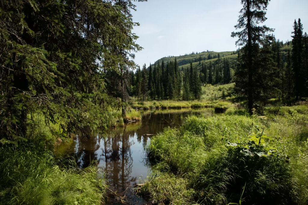
You’ll gain this elevation to the ridge relatively fast, getting to the highest point (3,494 feet) on K’esugi Ridge about 3.7 miles from the trailhead. Don’t worry if this sounds a little intimidating, there are lots of good spots to take breaks on the way up and the path does switch back quite a bit.
Around 7 miles from the trailhead the path has descended a bit (roughly 600 feet from the highest point) making the section between mile 7 and Mile 8 Divide a good place to set up camp for the first night (we hiked until about mile 13 before setting up camp because we had the bright idea to do K’esugi Ridge from Little Coal to Byer’s in two days/1 night).
Section 2: Mile 8 Divide to Skinny Lake
8 to 17 miles
From Mile 8 Divide you’ll continue past Stonehenge Hill (it’s got a scattering of boulders strewn across it) and begin picking up elevation once again.
Back up on the ridgeline, the path will meet with the trail coming up from Ermine Hill around 13.3 miles from the Little Coal Creek Trailhead, near a small lake. If the weather is absolutely atrocious, bailing out at Ermine Hill isn’t a bad idea.
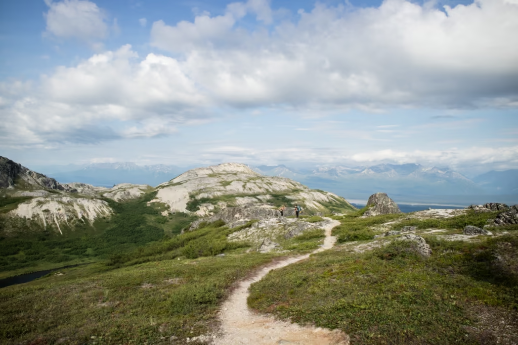
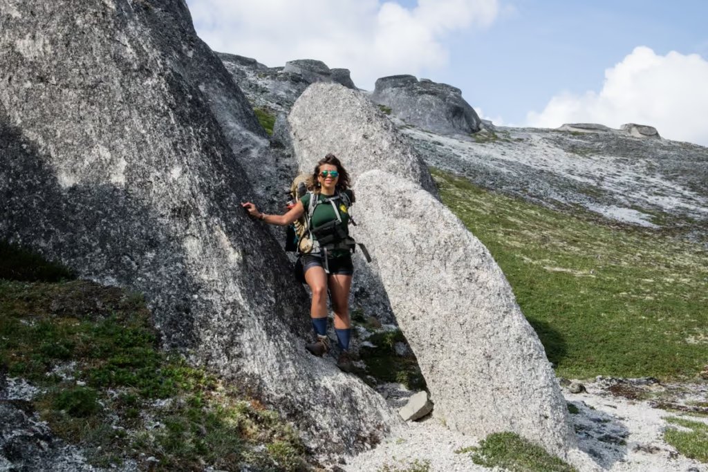
From the meeting point with the Ermine Hill Trail, the path descends quickly, bringing you to my favorite part of the K’esugi Ridge Trail where you’ll meander among some really cool and funky rock formations before the dropdown.
This area among the rock formations makes for a good lunch spot too (the lake near Ermine Hill Trail isn’t a bad spot either if you got a bit of a late start).
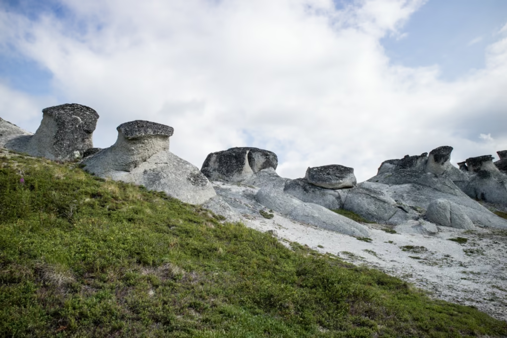
Beyond the rock formations, the trail begins to climb again to finally reach Skinny Lake around 17 miles in.
There aren’t a lot of great spots to camp at Skinny Lake itself, so I’d recommend continuing a bit further beyond the lake and above the treeline on the last to find a better spot (this will likely out you around 19 miles from Little Coal Creek Trailhead).
You’ll find some tarns scattered around beyond Skinny Lake that will make better camping.
Section 3: Skinny Lake Tarns to Byer’s Lake
17 to 29+ miles
This last section will start off with a nice leisurely trek through nice tundra with small lakes and tarns scattered around the trail (though know that after rains or in the earlier part of summer this part of the trail can be a swampy mess).
At about 24.5 miles from the Little Coal Creek Trailhead, you’ll meet with the Troublesome Creek Trail where it’s possible to hike further another 7+ miles to the southwest. From the junction with Troublesome Creek Trail, the final downhill along the Cascades Trail starts, soon bringing you zigzagging back below treeline and to Byer’s Lake.
Note that this last section does have some steep stretches that can be muddy (slippery) and there are some roots sticking up so proceed with caution.
What to Pack for the K’esugi Ridge Hike
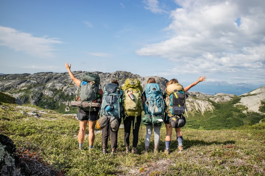
Below I’ve outlined what I carried on me and what I think is necessary and/or useful for the K’esugi Ridge Hike. I did not include things such as your normal clothes, socks, layers, etc. as I would assume that you aren’t going to this trek in the nude (I wouldn’t recommend it, the mosquitoes can be downright vicious!).
Recommended Gear
- Inreach Explorer
- Bear spray
- Backpack (I personally recommend the Osprey Ariel 65 and an attaching daypack)
- Hiking boots (My favorite are the La Sportiva Trango Tech GTX)
- Waterproof sandals
- Katadyn water purifier
- Sleeping mat
- 3-season tent
- Hydration Pack
- Sleeping bag cold rated to -5ºC/20ºF
- Bear canister– keep bears and other animals from getting into your food and other scented items
- Silicone squeeze tubes (for cooking with sauces, olive oil, etc.)
- Campstove and Cooking set
- Propane/butane canister- buy once in Alaska, you cannot take these on a plane
- Trekking poles
- Headlamp
- Crampons– Helpful on glacier crossings
- Mosquito Repellant Let’s be real, Alaska’s state bird is the mosquito, not the ptarmigan
Toiletries
- Sunscreen
- Biodegradable shampoo bar
- Biodegradable soap
- Toothbrush
- Biodegradable wipes
- Toilet Paper
- First Aid Kit
- Hand sanitizer
Electronics
- Camera/lenses and necessary accessories
- Battery Bank
- Solar Panel
- Phone and charging cables
Food
- Dehydrated meals (you’ll need to stock up before leaving home)
- Trail mix
- Jerky
- Dried fruit and nuts (easily purchased at a bazaar)
- Peanut butter
- Spice packets
- Olive oil for cooking
- Hot sauce (bring from home to jazz up bland food)
- Instant mashed potatoes (so unhealthy, but I love them after a long trekking day)
- Fresh veggies, noodles, bread, rice, and more can be purchased at a bazaar prior to setting out for your trek)
K’esugi Ridge Safety
It’s no secret that Denali State Park is crawling with bears, so that will likely be your biggest concern. I would recommend carrying bear spray (only if you know how to use it- though it’s not difficult) and bringing a bear vault (you can purchase one if you don’t already own one or you can rent one from REI in Anchorage). Always cook and keep food (and anything else with a scent like lotion, deodorant, cookery, etc.) at least 100 feet (more is better) away from camp and downwind.
Aside from wildlife, the only other real threat to your safety is having an accident (trips, falls, etc.). This isn’t impossible as you have seen me mention previously that muddy areas can and do exist, and of course, the usual tree roots on trail and boulders can cause trips.
While this trail is pretty obvious for the most part (by Alaskan standards), it is not well maintained when you compare it to say, heavily trafficked trails in California or Washington so adjust your expectations accordingly. Carrying an SOS beacon such as the Garmin Inreach would be wise in the event of a serious emergency on the trail.
Is K’esugi Ridge Worth Hiking?
K’esugi Ridge is absolutely worth adding to an Alaska itinerary if you’re up for a few days of carrying your own gear and dealing with unpredictable weather. The trail has a little bit of everything I love about hiking in Alaska: open tundra, alpine lakes, rugged ridgelines, wildlife, and, on a clear day, incredible views of Denali.
It isn’t the easiest backpacking trip, particularly when the trail is muddy or overgrown, but that’s also part of what makes it feel like an actual Alaska adventure rather than a stroll through a manicured park. And while I wouldn’t recommend trying to cram the entire route into two days like we did, I’d happily hike K’esugi Ridge again with a little more time and considerably better phone protection.
Have any questions about the K’esugi Ridge Hike?
Ask in the comments section below.
Posts from Alaska
Alaska Highway Road Trip: Alcan Guide
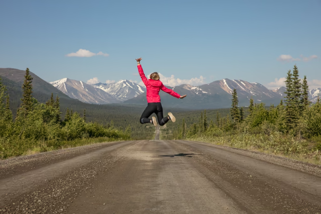
Denali Highway Alaska Road Trip Guide
Eklutna Lake Hike: Twin Peaks Trail
Girdwood Travel Guide
Prince of Wales Island Travel Guide
Seward Highway Road Trip Guide
Two Days in Anchorage: The Perfect Anchorage Itinerary
Golden Circle Route: Yukon & Alaska Road Trip
K’esugi Ridge Hike, Alaska

Between Beaches: An Alaskan Winter Getaway
Kenai Fjords National Park Travel Guide
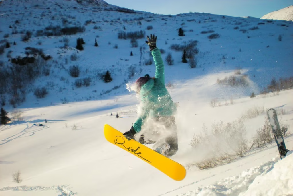
Free Places to Ski & Snowboard Near Anchorage
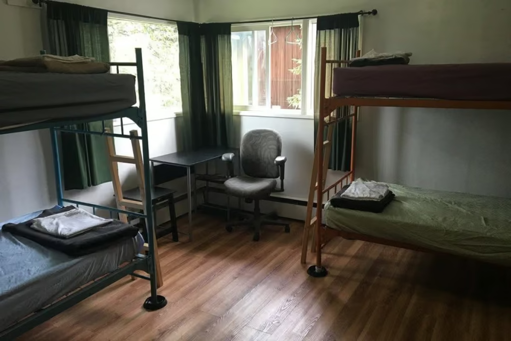
The Best Hostels in Anchorage, Alaska
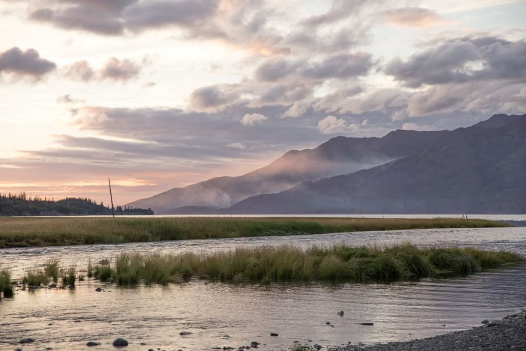
A Quick Guide to Hope, Alaska
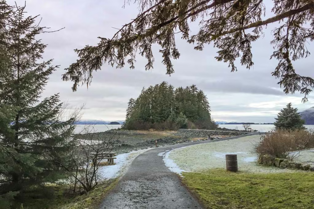
Shrine of St. Therese in Juneau, Alaska
Wrangell St. Elias Road Trip
Kenai Fjords Tour with Major Marine Tours
Homer Travel Guide
Rabbit Lake Hike in Anchorage, Alaska
Williwaw Lakes Hike in Anchorage, Alaska
Virgin Creek Falls in Girdwood, Alaska
How Much Does it Cost to Travel Alaska? Budget Guide 2026
Fairbanks Travel Guide: 13 Best Things to Do
A Guide to Hiking to Flute Glacier

Anchorage’s Best Hotels
A Day Hike into ANWR
Best Things to do in Alaska
Kayakers Cove, a Perfect Escape from Seward, Alaska
Biking to Knik Glacier in the Winter
Reed Lakes Hike, Hatcher Pass
Seward Travel Guide
Juneau Travel Guide
10 Reasons Visit Alaska
Denali National Park Travel Guide
What to Pack for Alaska
Alaska Travel Guide
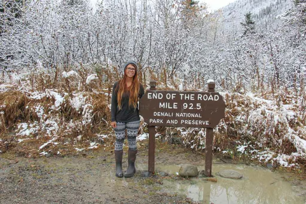
How to Get a Denali Road Lottery Permit
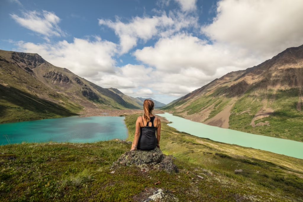
Eagle & Symphony Lakes Hike
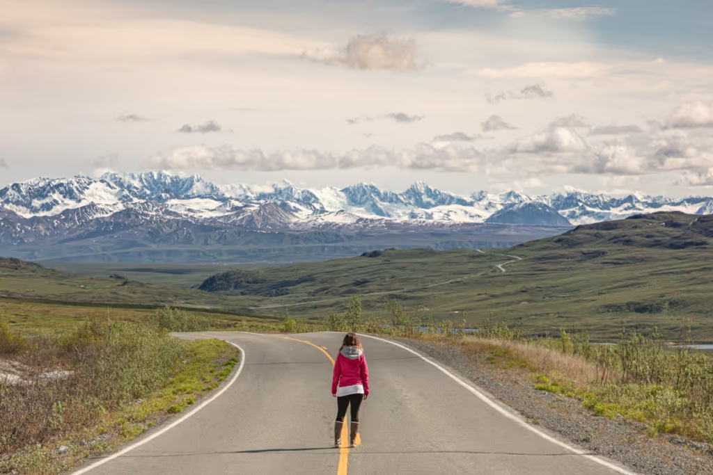
Ultimate Alaska Road Trip Itinerary
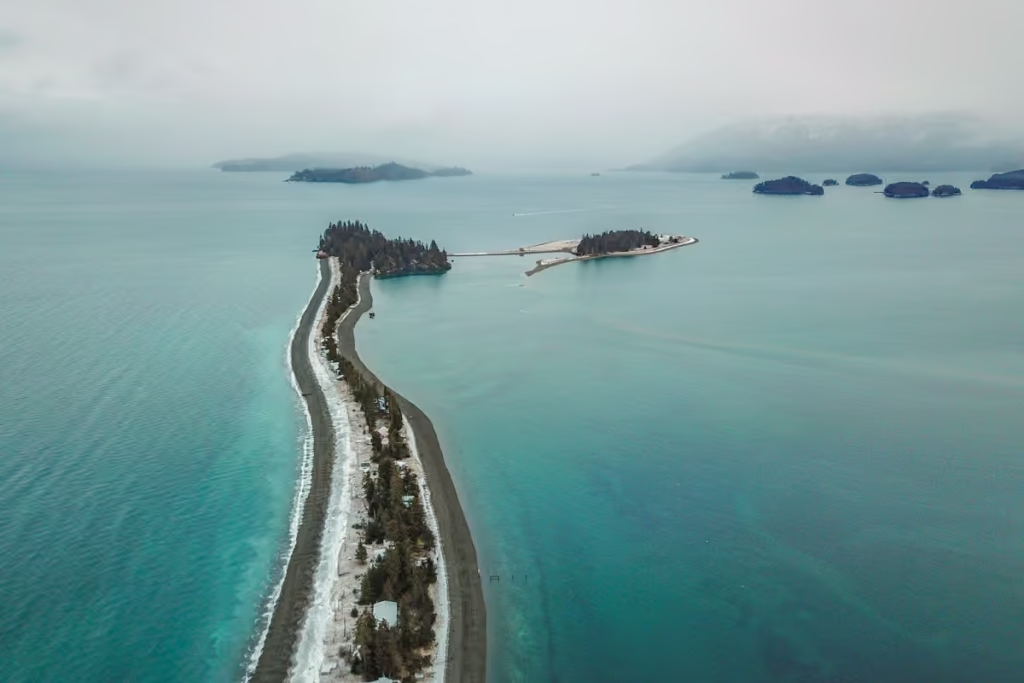
Macdonald Spit Alaska
How to Get to Mendenhall Ice Caves

Silverbow Inn: One of the Best Places to Stay in Juneau
Dalton Highway
10 Day Alaska Itinerary
Gates of the Arctic National Park Alaska
Hiking to Exit Glacier
Mint-Bomber Traverse Hike
Free Things to Do in Anchorage
Best Places to See the Northern Lights in Alaska