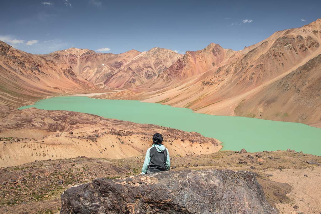
How To Get To Tajikistan’s Khafrazdara Valley
Updated February 2024, How To Get To The Khafrazdara Valley was originally written in January 2018
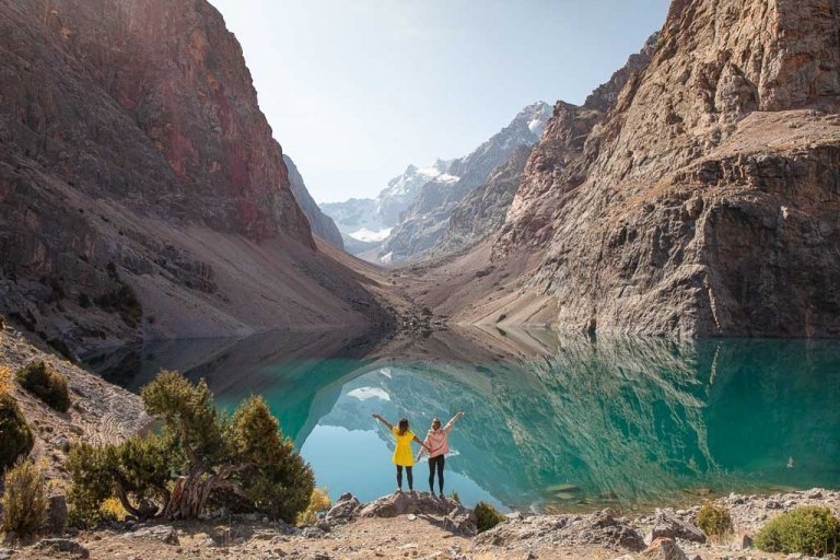
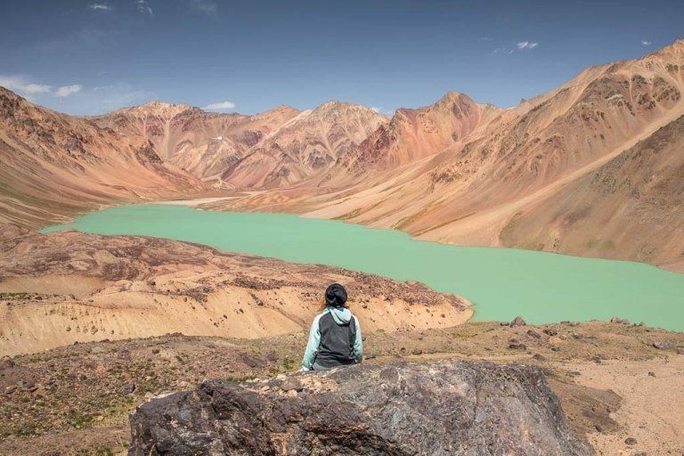
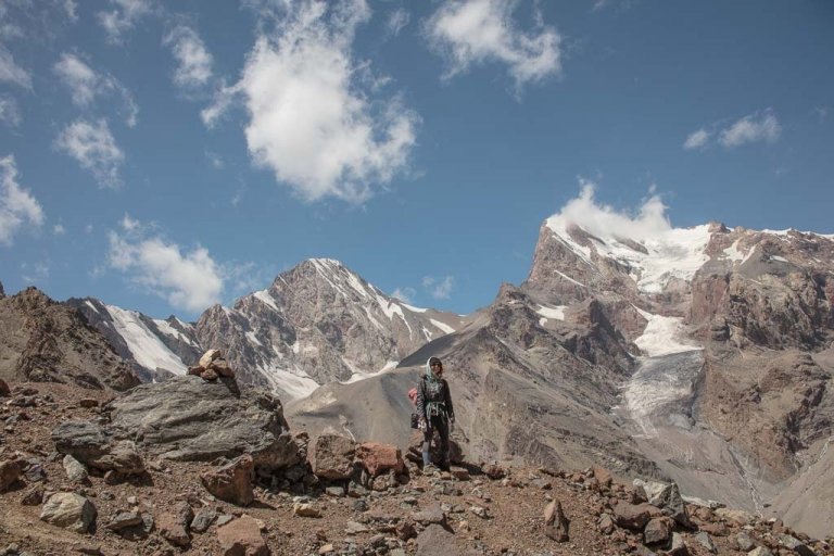
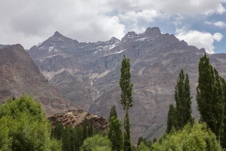
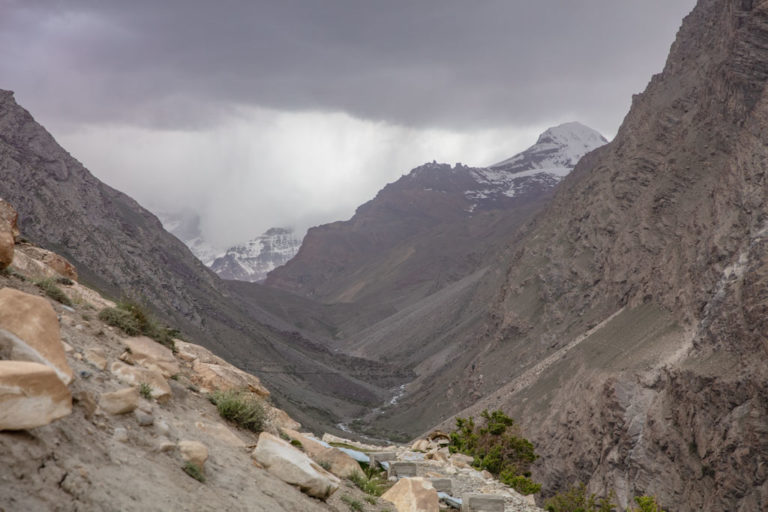
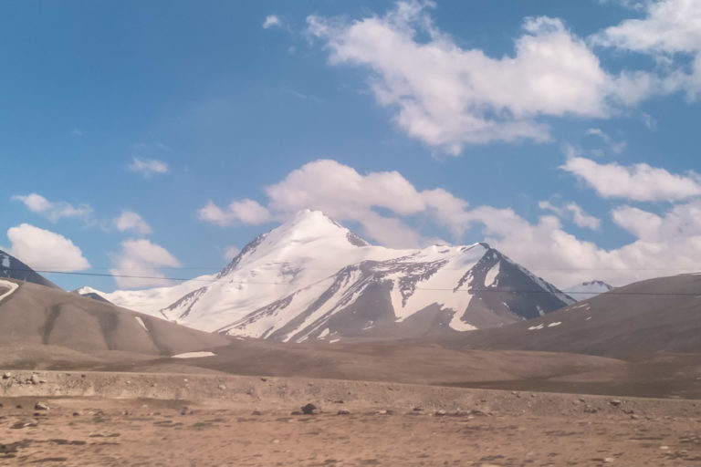
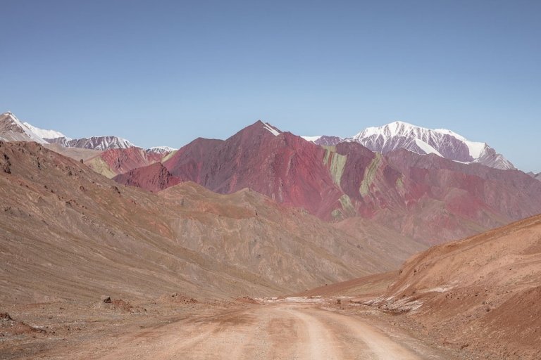
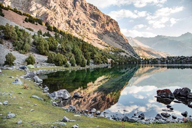
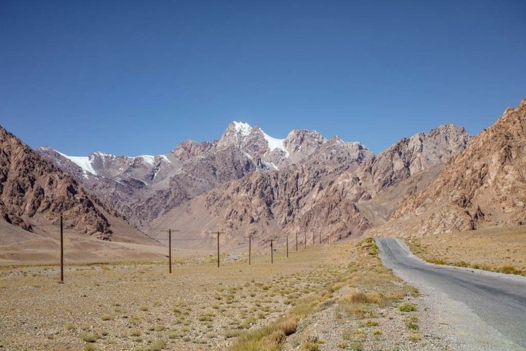
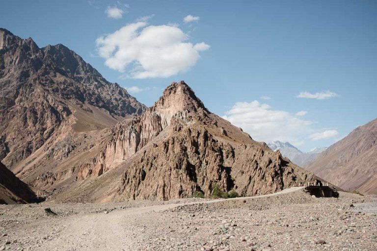
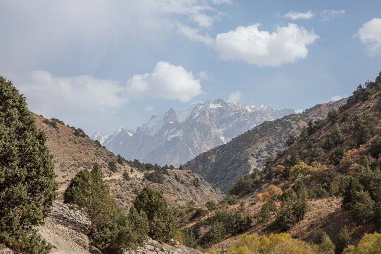
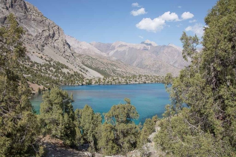
This is one of the most beautiful treks in the Pamirs taking you to the stunning Khafrazdara Valley and Lakes and beyond to view Grum Grijmailo Glacier. First, you’ll need to take a crazy ride up the Bartang Valley to arrive at the village of Pasor from which you’ll start your trek. After that, it’s wild and remote Tajikistan, with colorful striated mountains, seafoam green lakes, and epic glaciers.
This is my favorite trek I have done in the Pamirs over several trips to Tajikistan. Despite not being the easiest place to get to, logistically speaking, I think getting to the start of this hike is worth every effort.
Need help planning? Check out my Tajikistan Travel Guide
Wanna join a group expedition on the Pamir Highway?
I will be leading a 12 day expedition down the Pamir Highway June 25-July 6, 2024. There is also an option for a 25 day Tajikistan Expedition that also includes a trek in the Fann Mountains.
Need Travel Insurance and Evacuation Services for Tajikistan?
Start shopping for travel insurance plans over at IATI Insurance. Readers of the Adventures of Nicole get a 5% discount off your plan.
The Adventures of Nicole partners with Global Rescue to offer the world’s leading medical evacuation and security advisory services. To travel with peace of mind, shop evacuation coverage at Global Rescue.
Practical Info
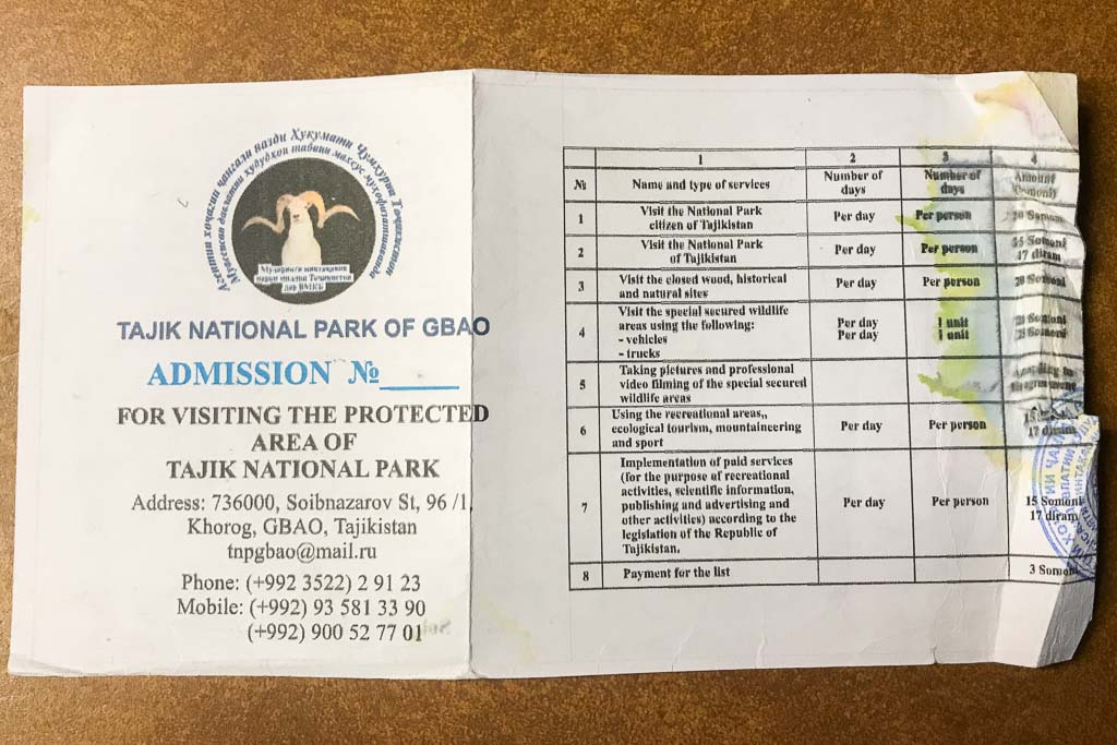
- This trek involves two permits: A GBAO and Tajik National Park permit. You can apply for your GBAO when applying for your Tajik visa, as you will need this permit to travel anywhere in the GBAO region (ie: the entire eastern half of Tajikistan… yes this includes the Pamirs) or you can get a GBAO permit from the OVIR office in Dushanbe. The other permit is the Tajik National Park permit which can be purchased at the PECTA office in the Central Park in Khorog for 15 TJS per day.
- This trek takes place between 3000 and 4500 meters, so do take care to avoid altitude sickness.
- The best time for trekking in Khafrazdara Valley is between July and mid-September.
- Bartangi is the dialect spoken in the Khafrazdara Valley and the general Bartang area. Tajik and Russian speakers can be found around Pasor as well.
- No special or technical gear is necessary to trek to Khafrazdara Valley or to Kholodnyi Pass for views of Grum Grijmailo Glacier.
- Make sure that you do have your passport and e-visa paper with you. It will be checked at the GBAO checkpoints along the Pamir Highway.
- Solo female travelers may run into overly-friendly male locals, guides, etc. Usually more of an annoyance than anything else, but worth being aware of. A firm ‘no’ usually will halt the behavior.
- If you are unsure about your skill level, hire an experienced guide.
- You cannot fly in propane/butane tanks for cooking. You can pick one up in Dushanbe at Green House Hostel or at the outdoor gear shop in the downstairs of the Munisa Mall, sometimes you can get one in Khujand although it’s not always possible. If arriving from Kyrgyzstan it’s best to purchase one before leaving Osh.
Everything you need to know to set out on the Pamir Highway
Plan the perfect adventure with the 10 day Pamir Highway itinerary
How To Get To The Khafrazdara Valley
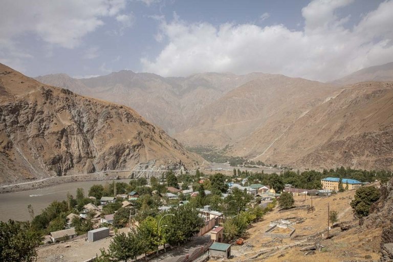
First, you’ll need to reach the village of Pasor, just off the Bartang Highway. Most who visit choose to do so by arranging transport from Khorog or Rushan.
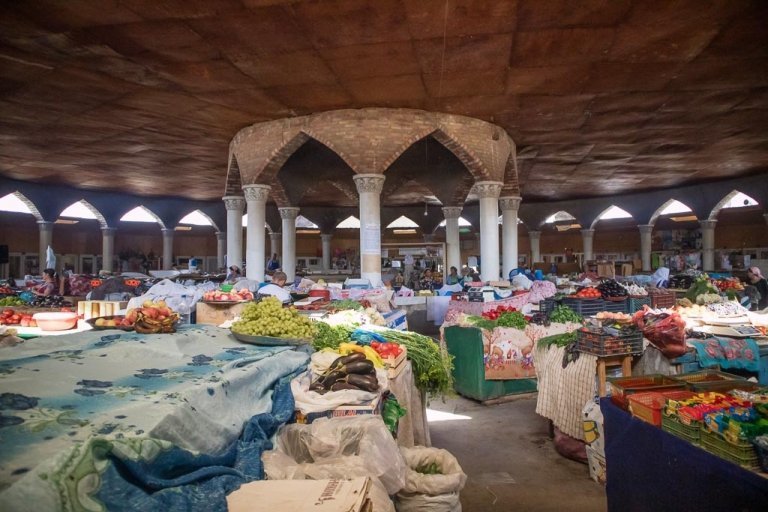
There is a shared taxi/marshrutka that leaves from Khorog to Pasor and continues on to Gudara via Rushan, but it is irregular and you’ll have to ask around at the main taxi stand in Khorog near the bazaar. It may take a few days before there are enough passengers to fill the shared taxi headed this far up the valley.
Expect it to take a bit of time after the trek to arrange shared transport back to Khorog or Rushan as well. A shared taxi will cost 120 TJS each way.
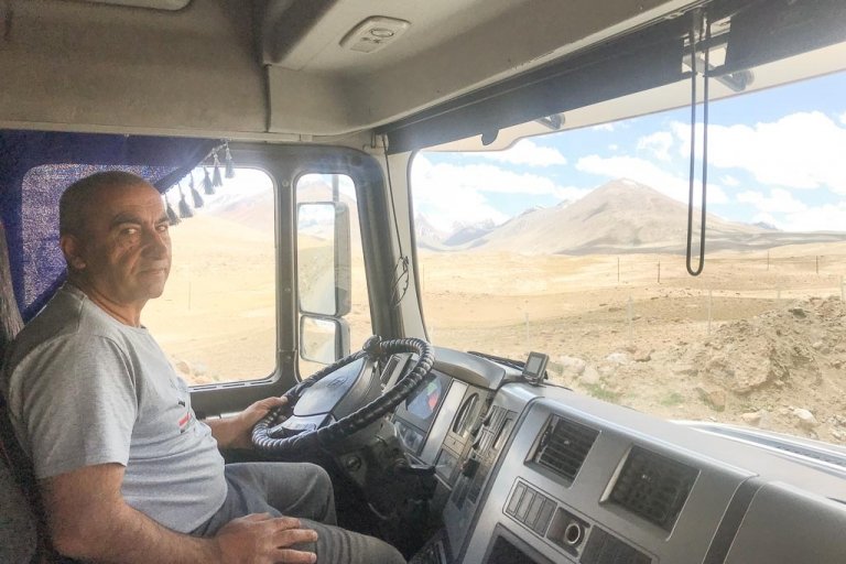
Expect a long ride- I’ve done this drive in 11 hours on one trip, 8 hours, and 21 hours on another by shared transport. The Bartang Highway is rough to say the least, and breakdowns are pretty common.
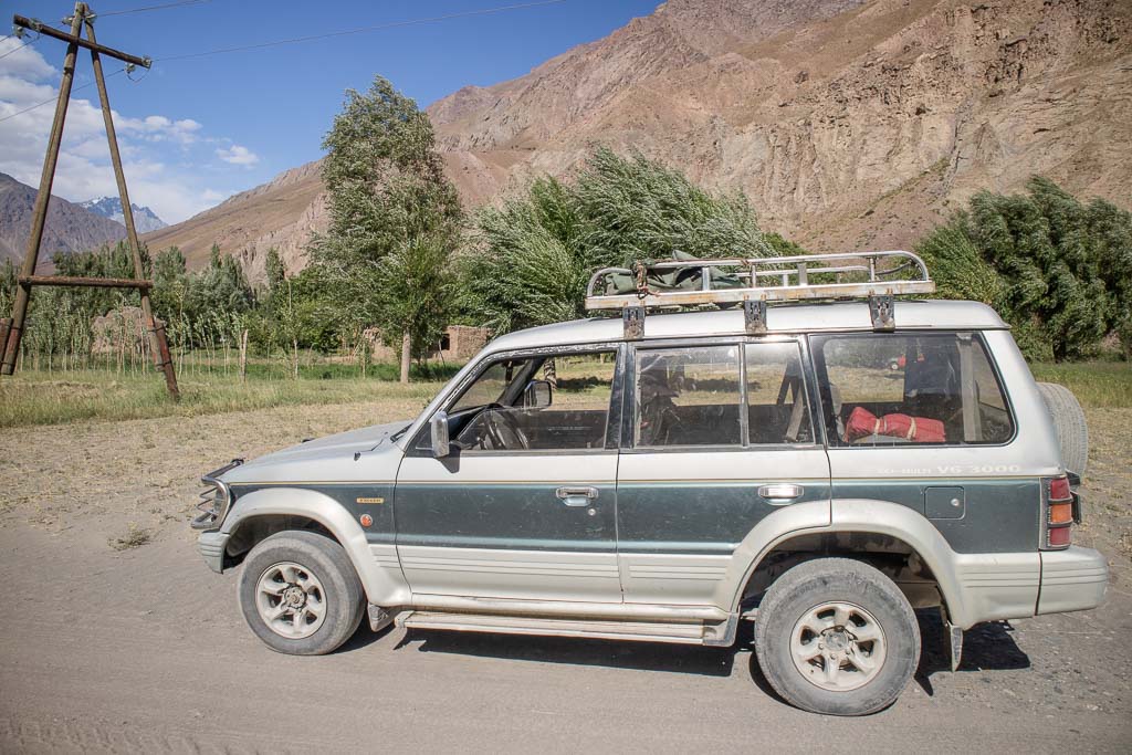
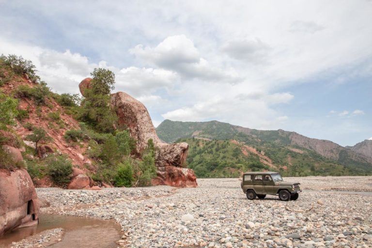
Your other option is hiring a private 4×4- the advantage here is being able to leave when you want, having the driver wait for you in Pasor for your return ride, and usually, a shorter journey, typically about 8-10 hours. The downside is the cost, most drivers charge between 0.60¢-0.90¢ per kilometer (the drive between Khorog and Pasor is about 270 kilometers, each way), and $20 USD per night they must wait for you to cover meals and board.
Depending on how long you plan to be out there and what you can negotiate, plan for the trip (return) to cost $400-500, but remember this is per vehicle- so if you can pack a Landcruiser or Pajero the price starts to not look so bad. Self-drivers and motorbikes can get out here if you’re confident in navigating the rough and wild Bartang Highway.
Need more hiking inspiration? Check out the 10 best treks in Tajikistan
This is a great side trip off the Bartang Highway for cyclists journeying up (or down) the Valley that want a break from the bicycles.
The only other way to reach Pasor (aside from walking) would be to hitchhike, which from my experience on the Bartang Highway may be very lengthy and difficult to accomplish at all and especially beyond the trailhead for Jizeu as the Bartang Highway is not much trafficked at all.
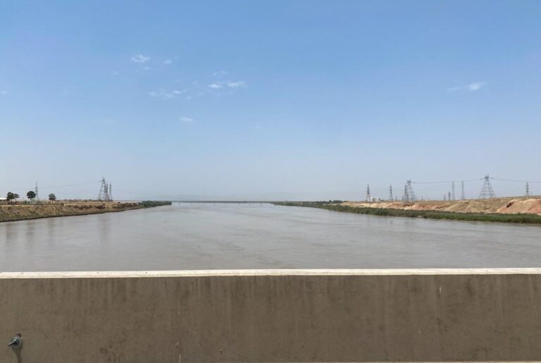
In spring and early summer particularly the Bartang Highway may be impassible when the river is high (realistically this could happen any time of year so it is best to ask locals around Khorog and Rushon about conditions). Alternatively, you could reach Pasor from the north by entering the Bartang Valley from near Karakul via Kök Jar in the north.
Read the Bartang Highway Guide to learn more about the different treks and villages along the Way
Khafrazdara Valley & Grum Grijamilo Glacier Trek
Pasor ➤ Khafrazdara Lake #1 ➤ Khafrazdara Lake #2 ➤ Grum Grijmailo Glacier Viewpoint ➤ Pasor
- 4 days, 3 nights
- 48 kilometers to Khafrazdara Lake (return)
- 68 kilometers to Grum Grijmailo Glacier (return)
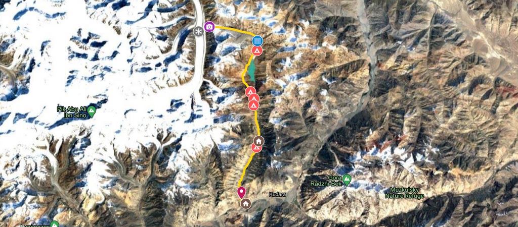
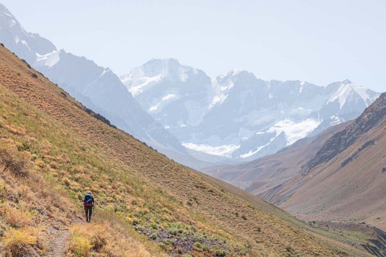
The Khafrazdara Valley trek itself isn’t super challenging, just long- 24 kilometers one way to the second Khafrazdara Lake from Pasor, and 34 kilometers to the Grum Grijmailo Glacier viewing point from Pasor (48 kilometers and 68 kilometers return).
The trek does involve a couple of creek/river crossings (best to try and cross earlier in the morning when water levels are lower), and temperatures can be downright freezing, especially at night, even in summer. What makes this trek most challenging is the altitude it takes place, which is why acclimatizing prior to the hike is important.
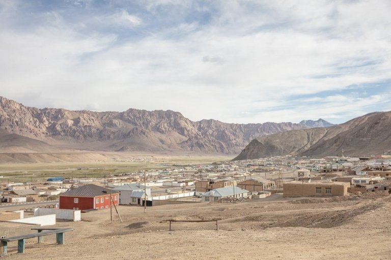
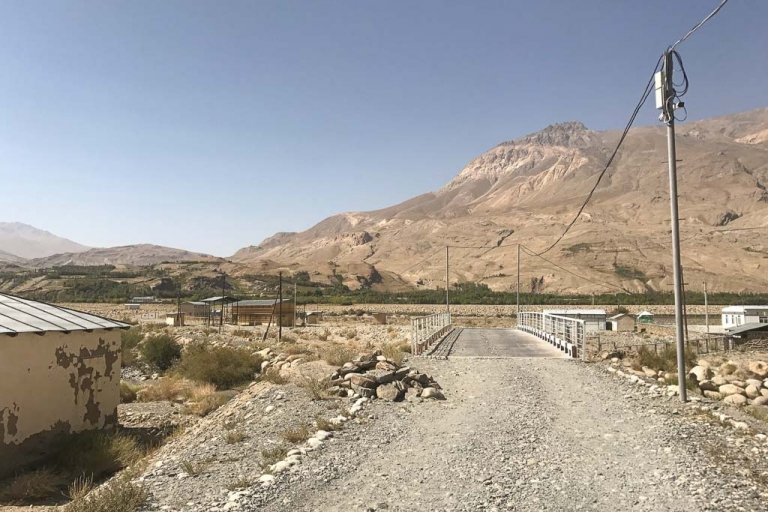
First, you’ll need to get to the Village of Pasor, located just off the Bartang Highway as this is where the trek will begin from. I recommend spending a night in Pasor as you will likely have had a very long ride out here.
You can camp in Pasor but do take care that you are far enough away from people’s homes and crops. You can easily stay in a local home in the village as well (I suggest that you leave some Somoni in the home or to their eldest child if you do so).
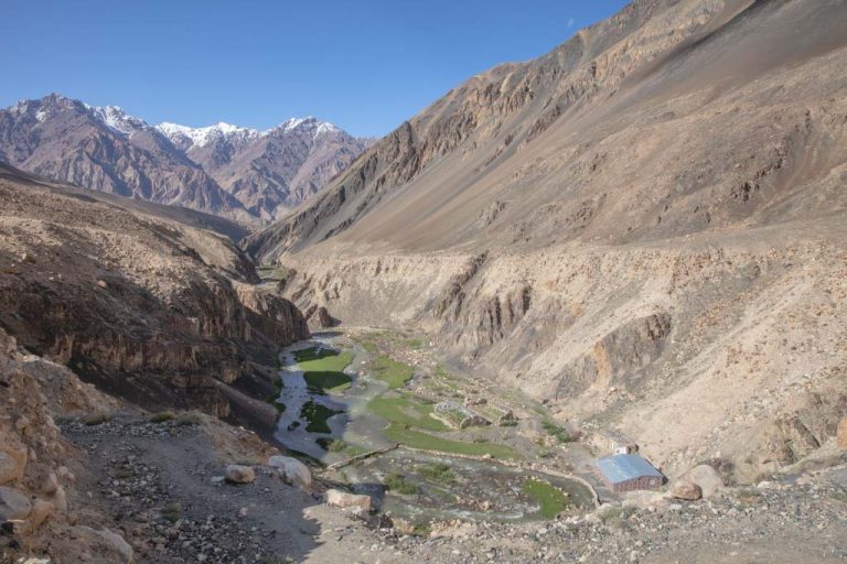
From Pasor you’ll follow a small path that leads first west and then quickly bends to the north around a mountain along the Khafrazdara River. The trail is fairly simple to find and likely locals will point the direction out to you as you pass them.
Searching for more adventures in the Bartang? Check out Lake Sarez
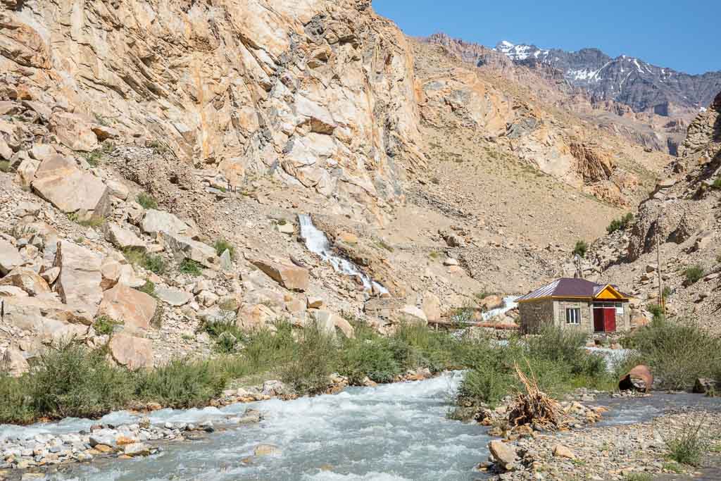
The trail will descend down a steep hill, where you will come to a building, this is the old electrical plant. Just before the electrical plant, you’ll find a footbridge crossing to the other side. You used to have to walk across a big pipe at the plant to cross to the other (left) side of the river (you can still do this, just be careful!).
The trail from here is narrow and will go up high on the mountainside, and eventually drop down to the riverside where you may need to walk in the river for a few meters along a rock wall if it’s running high (it’s possible to scale the rock wall too). Past this, you’ll trek down along the river through occasional small forests and some ups and downs on the narrow trail.
You will eventually have to cross a pretty fast-moving creek that feeds into the main river that can be waist-deep or more depending on the time of day and year (trekking poles are handy for this crossing, especially if carrying a heavy backpack). After crossing continue on the trail through the little forests, you will continue up soon after onto a rolling mountainside.
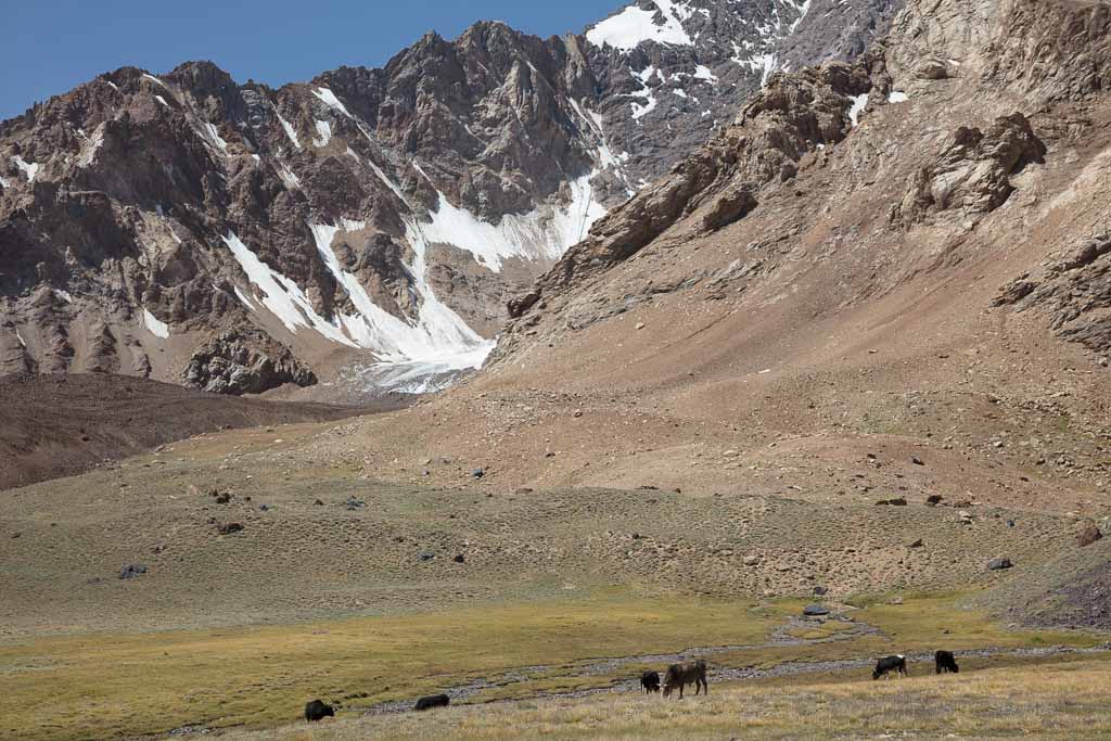
Soon after you will reach a stone shepherd camp near some pools along the river where herders from Pasor bring animals to graze in the high pasture. This is a great spot to set up camp or continue a little further to camp next to the first Khafrazdara Lake.
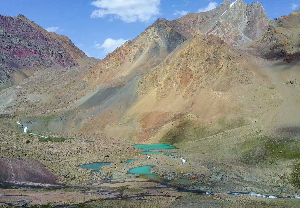
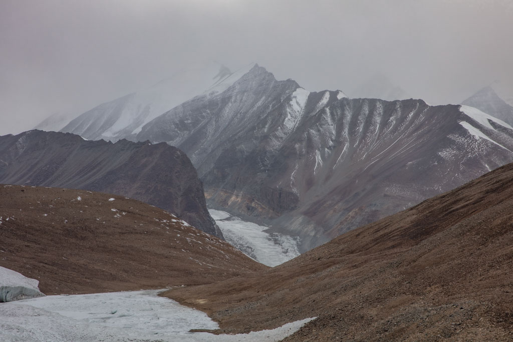
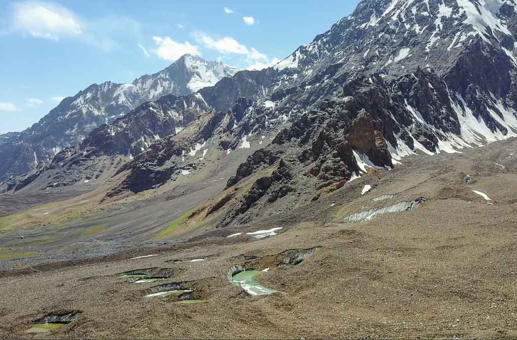
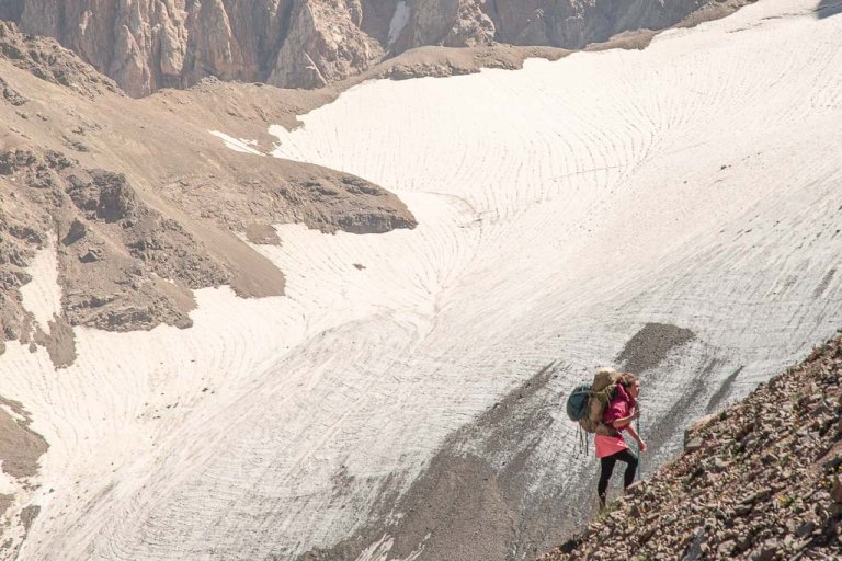
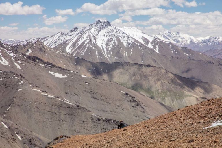
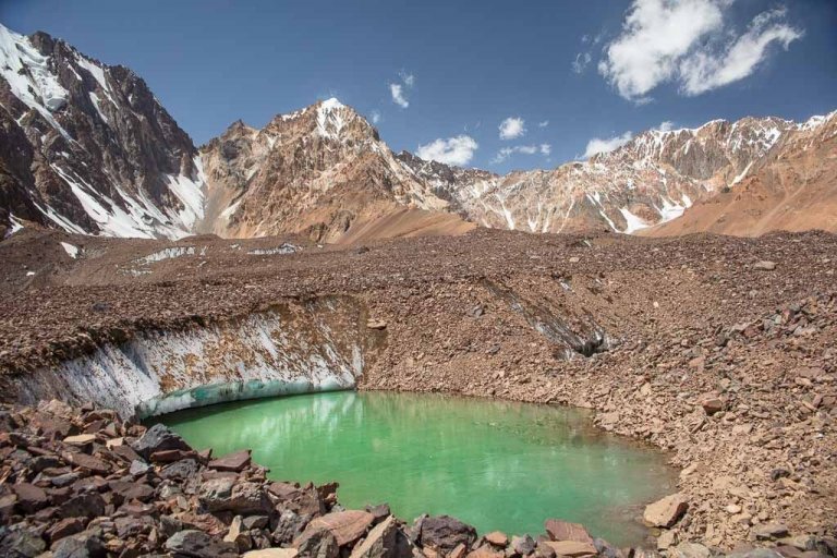
From the shepherd’s camp follow the trail north where you’ll walk past (from a distance) the first Khafrazdara Lake, and soon begin climbing up a steep hill and onto a boulder field with views of that first Lake below. Do be careful up here as you are actually crossing glacial ice beneath the rocks you’re climbing over and you can at times hear some cracking and groaning below (I believe this is part of Kholodnaya Glacier). The trail can get hard to spot up here on top of the rocks, there are occasional cairns marking the trail made by shepherds that graze their livestock out here.
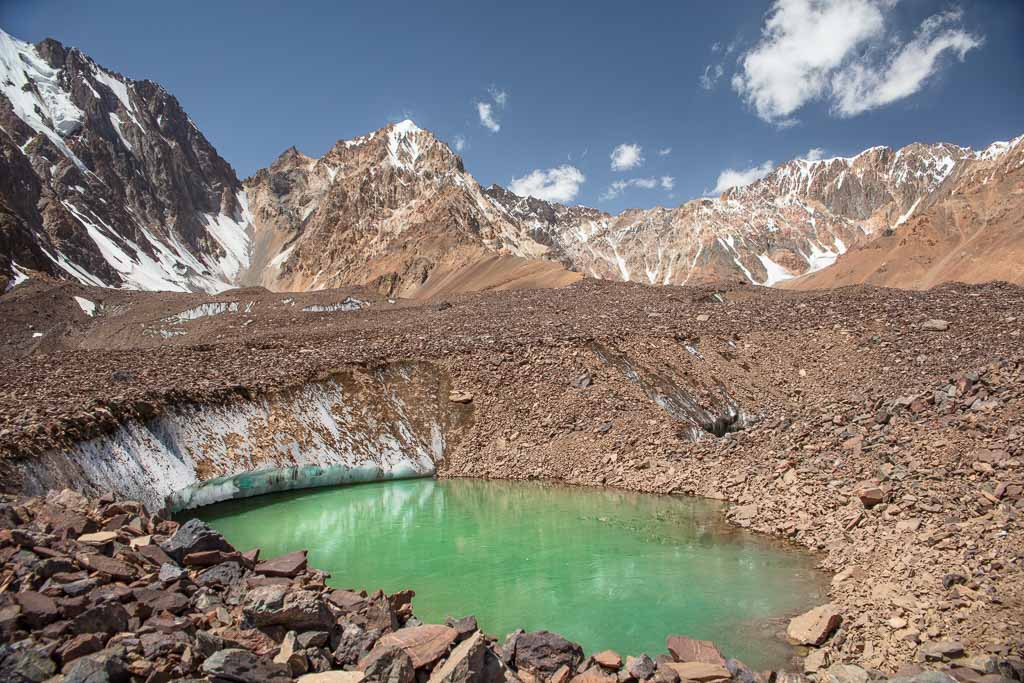
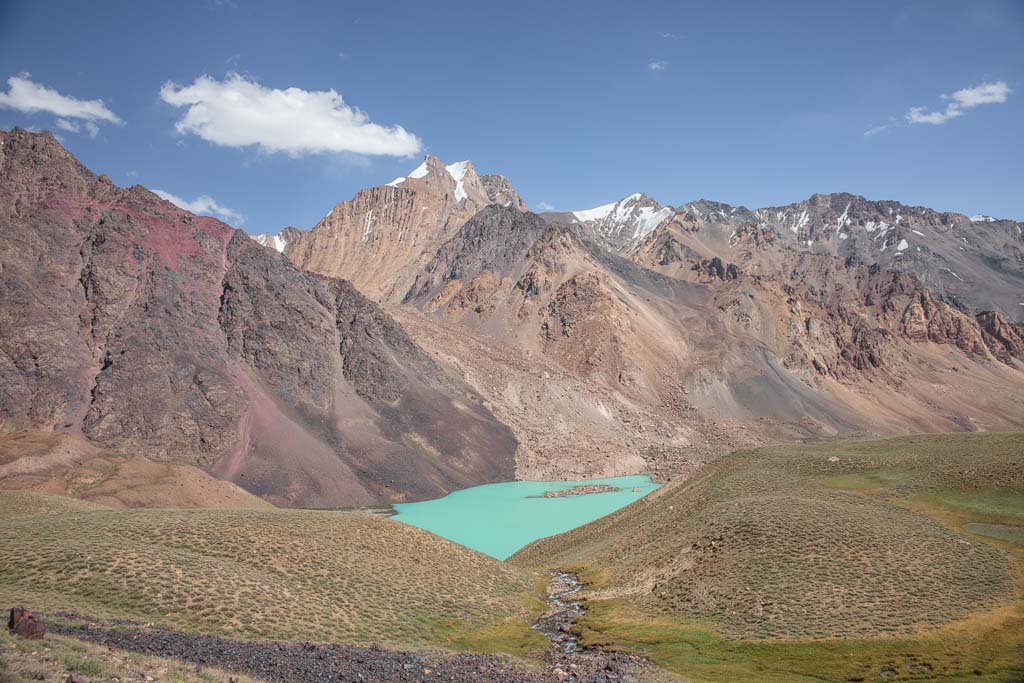
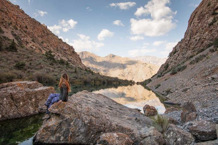
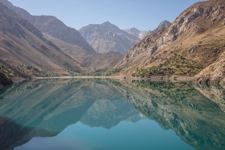
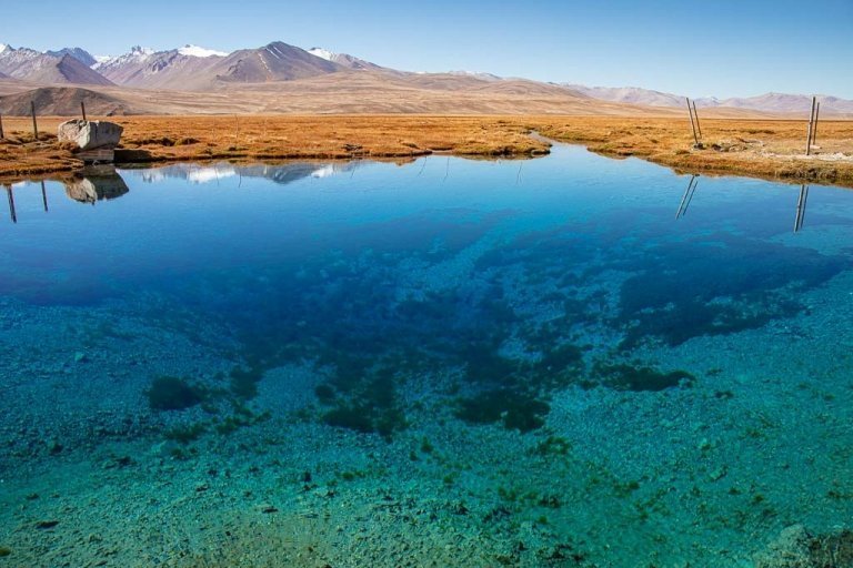
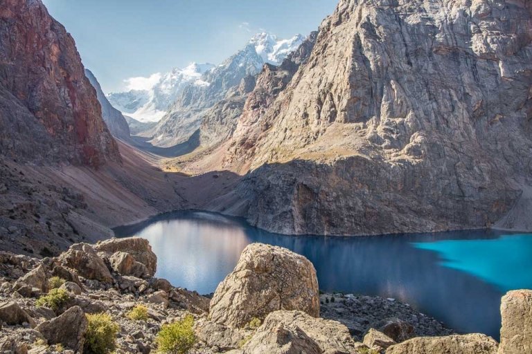
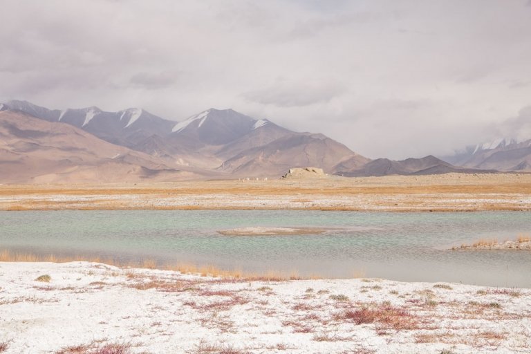
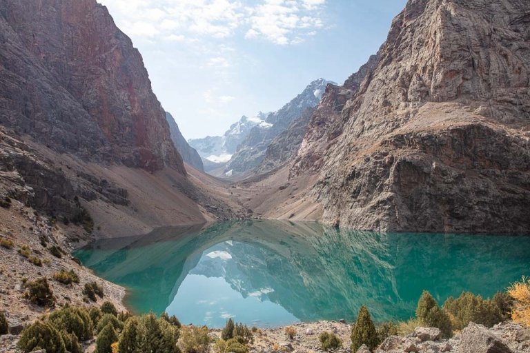
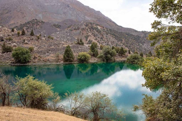
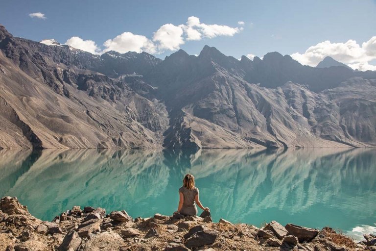
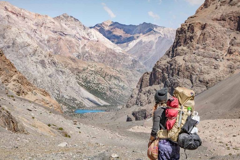
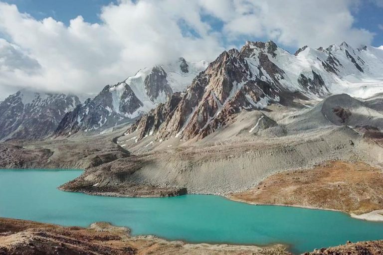
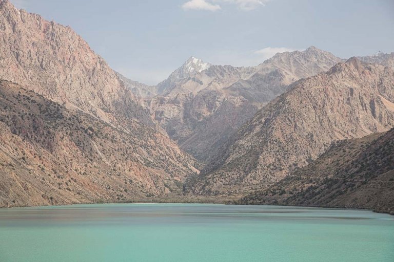
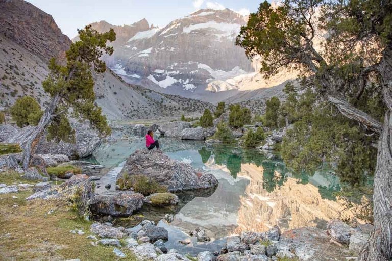
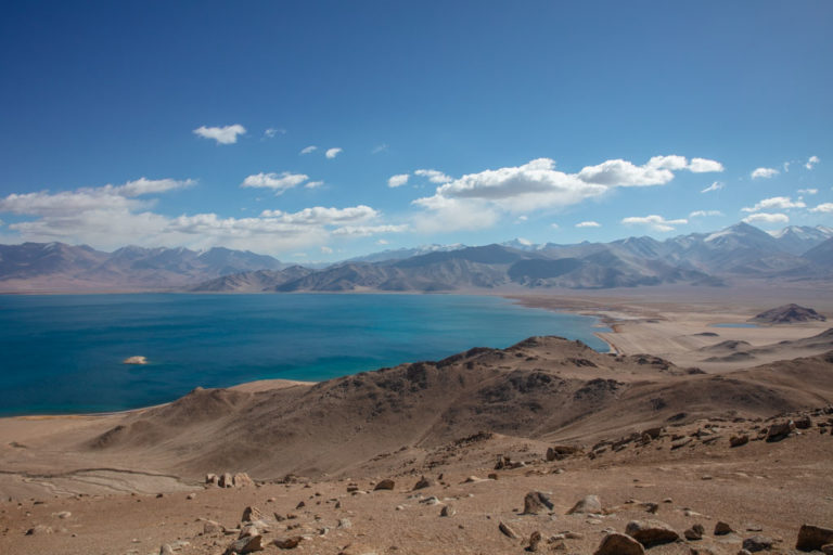
Just beyond this glacier crossing the second and much larger Khafrazdara Lake (the first photo you saw in this post) will come into view. It’ll likely be freezing cold up here with relentless winds.
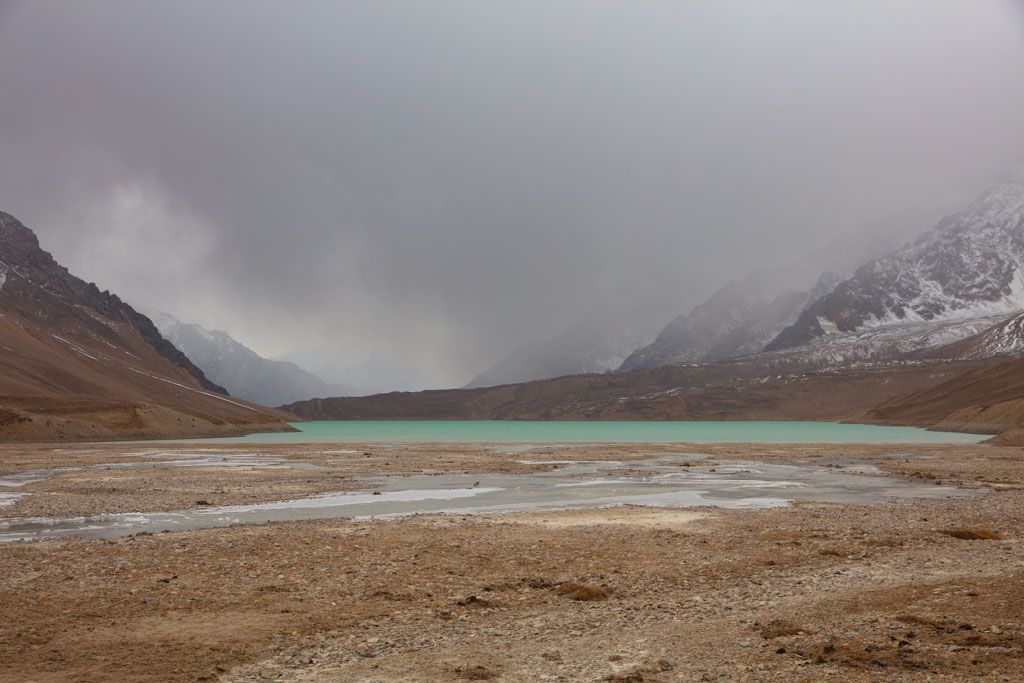
The trail continues along the left (west) side of the lake. From here you can opt to continue to the far side of the lake to set up camp, and the following day do a day trek to the viewing point for Grum Grijmailo Glacier spending the third night at the camp at the far side of the lake again and then pack out back to Pasor the next day.
Looking for an easier hike from the Bartang Valley? Check out the Jizeu trek
Guides & Porters
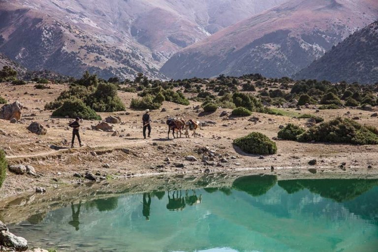
It is possible to arrange donkeys to porter gear from Pasor up into Khafrazdara Valley and Grum Grijmailo as well. Expect to negotiate a price in the range of $20-30 USD per day for a man and two donkeys (1 for his gear, 1 for yours). It would be helpful to learn a few words in Russian or Tajik to negotiate prices.
It is also possible to arrange guides and/or a tour before arriving. Sarez Travel, Bartang Sarez Tour, and Pamir Horse Adventure all have good experience in this area. PECTA (Pamir Eco Tourism Association) in Khorog can also make recommendations for you. Here are operators that run trips in the Bartang Valley:
- Paramount Journey Offers some of the best itineraries around Tajikistan and their staff are extremely knowledgeable.
- Women Rockin’ Pamirs First female guides in Tajikistan! Started by a French NGO to get Tajik women into the guiding business. Offering trekking tours of the Pamirs.
- Discover The Pamirs Agency that specializes in travel and trekking in the Pamir, especially along the Bartang Valley.
- Pamir Highway Adventure Offers trips to both Pamir and Fanns.
- Tour De Pamir Agency offering guided Pamir trekking.
- Sarez Travel Specializes in Lake Sarez travel as well as the Pamirs and Fanns.
- Bartang & Sarez Tours Specializes in the Bartang Valley including Lake Sarez and Khafrazdara Valley.
- Pamir Guides Ran by the friendly and kind Saidali. Can arrange travel to both Pamirs and Fanns.
- Badakhshan Travel Specializes in the Pamirs and GBAO.
- Pamir Silk Tours Offers tours into the Pamir Region.
- Discovery Tajikistan Agency offering tours all over the country.
Packing List
Recommended Gear
- Inreach Explorer+
- Backpack (I personally recommend the Ariel 65 for women)
- Hiking boots (My favorite is the La Sportiva Nucleo High GTX)
- Waterproof sandals
- Katadyn water purifier
- Sleeping mat
- 3-season tent
- Hydration Pack
- Sleeping bag cold rated to -6ºC/20ºF
- Campstove and Cooking set
- Silicone squeeze tubes (for cooking with sauces, olive oil, etc.)
- Propane/butane canister (available for purchase at Greenhouse Hostel in Dushanbe)
- Trekking poles
- Headlamp
Clothing
- Warm outer shell jacket x1
- Down jacket x1
- Fleece x1
- Merino wool long sleeve base layer top x2
- Merino wool short sleeve base layer x2
- Trekking pants x1
- Merino wool leggings x2
- Trekking socks x2
- Warm socks x1
- Sports bra x2
- Mittons x1
- Warm hat x1
- Sunglasses x1
- Microfiber towel x1
Toiletries
- Sunscreen
- Biodegradable shampoo bar
- Biodegradable soap
- Toothbrush
- Biodegradable wipes
- Toilet Paper
- First Aid Kit
- Hand sanitizer
Electronics
- Camera/lenses and necessary accessories
- Battery Bank
- Solar Panel
- Phone and charging cables
Maps
- Pamirs Map by Markus Hauser
- Maps.me does have the trail marked on the Tajikistan map
- Open Street Maps has the trail marked as well
Guide Books
- Tajikistan and the High Pamirs by Robert Middleton & Hue Thomas. This is a huge book, but it has so much good info on Tajikistan from the history, great-game stories, travel information, and more.
- Bradt Guide Tajikistan by Sophie Ibbotson & Max Lovell-Hoare. This is the most extensive and useful Tajikistan guide in print.
- Central Asia by Lonely Planet. Handy to have with you, although don’t necessarily treat it like a bible. Things rapidly change and the currency can fluctuate so it’s not always dead on. A new edition published in 2018 and I heavily question whether the writer in charge of the Tajikistan section had ever stepped foot in the country, you’ve been warned.
- The Central Asia Phrasebook by Lonely Planet I found this to be a handy item for Tajik, Russian and Kyrgyz phrases, not so much for the Wakhi phrase section.
Food
- Dehydrated meals such as Mountain House (you’ll need to stock up before leaving home)
- Trail mix
- Jerky
- Dried fruit and nuts (easily purchased at a bazaar)
- Peanut butter
- Spice packets
- Olive oil for cooking
- Hot sauce (bring from home to jazz up bland food)
- Instant mashed potatoes (so unhealthy, but I love them after a long trekking day)
- Fresh veggies, noodles, bread, rice, and more can be purchased at a bazaar prior to setting out for your trek)
Safety
- The altitude on the trek through the Khafrazdara Valley ranges from just below 3,000 meters to 4,200 meters and does go over 4,500 meters if you continue past the last Khafrazdara Lake to the viewpoint for Grum Grijmailo Glacier. Proper precautions and sufficient time acclimatizing should be taken. Read up more on acclimatization here.
- Tajikistan and particularly the Bartang Valley is prone to earthquakes. Being caught in a landslide in the mountains with your route being cut off is a possibility.
- Temperatures can range drastically from day to night even in summer. Temperatures can dip below freezing at altitudes over 3000 meters in the dead of summer.
- There are snow leopards, Marco Polo sheep, bears, and wolves living in Tajikistan’s mountains. Although you’d be highly unlikely to cross any of them, they are something to be aware of.
- I highly recommend getting travel insurance in the event of injury or illness. Shop plans at battleface.
Have Questions About Trekking In The Khafrazdara Valley?
Ask your Khafrazdara Valley questions in the comments section below.


TENHO MUITO A AGRADECER PELAS COISAS ESCRITAS QUE ENSINAM E INSTRUEM
OS VIAJANTES PRIMÁRIOS , DANDO UMA ORIENTAÇÃO E UM CONHECIMENTO –
DAS COISAS VIVIDAS E RELATADAS .
MUITO OBRIGADO
VALDIR PICCOLO
Obrigado Valdir!
Woooooow dude! This valley is epic! I hope I can make it work when I do the Pamir Highway
Hope you have the time to do this hike, it’s so unique
I don’t travel Tajikistan on the tightest budget- this was my dream destination so paying a little more to do what I truly wanted to do on my time frame was worth it in my eyes.
My first trip to Tajikistan I did spend the money and did it the way I wanted and it was totally worth it since it was in the top 2 places I’d always wanted to visit and I wasn’t sure if I would make it back. But now it’s about turned into a once a year trip for me, so now I don’t mind spending a little less money to go via marshrutka and whatnot. But totally with you, if you don’t have much wiggle room for time and like the additional comforts it’s so worth the extra money!