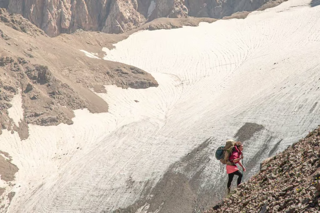
South Aral Peak Hike: Trek Near Karakul, Tajikistan
Updated July 2026, South Aral Peak Hike, Tajikistan was originally published in April 2022
Looking to get out from Karakul and do a quick day hike on your Tajikistan Pamir Highway adventure? The hike up South Aral Peak, more commonly called Aral Yuj (short for Yujzhni), will make for a nice day hike, especially for those looking to get a bit more acclimated to the high altitude of the Pamir before setting out on much more difficult treks in the area.
In total, you’ll want to plan for about 3-4 hours to complete the Aral Yuj Hike if you’re reasonably fit, and possibly 5 hours if you are struggling with the altitude.
Start planning your Tajikistan adventure: The Tajikistan Travel Guide
Need Travel Insurance and Evacuation Services?
Start shopping for travel insurance plans over at IATI Insurance. Readers of the Adventures of Nicole get a 5% discount off your plan.
The Adventures of Nicole partners with Global Rescue to offer the world’s leading medical evacuation and security advisory services. To travel with peace of mind, explore their evacuation coverage.
South Aral Peak Hike
Distance:
4.75 kilometers
(9 kilometers return)
Time:
3-4 hours
Elevation gain/loss:
264m +/342m –
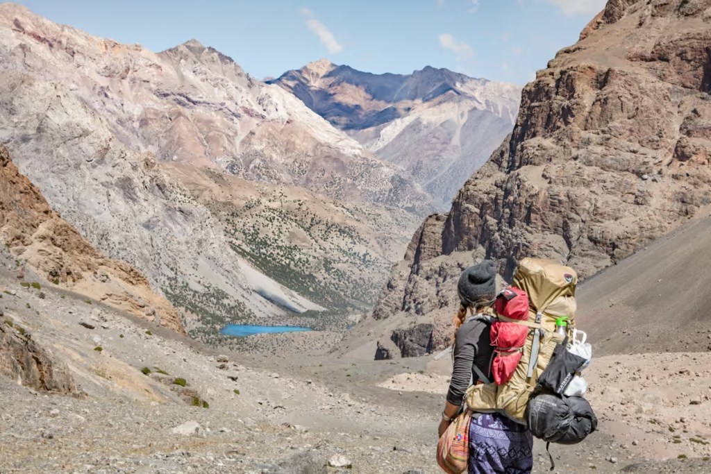
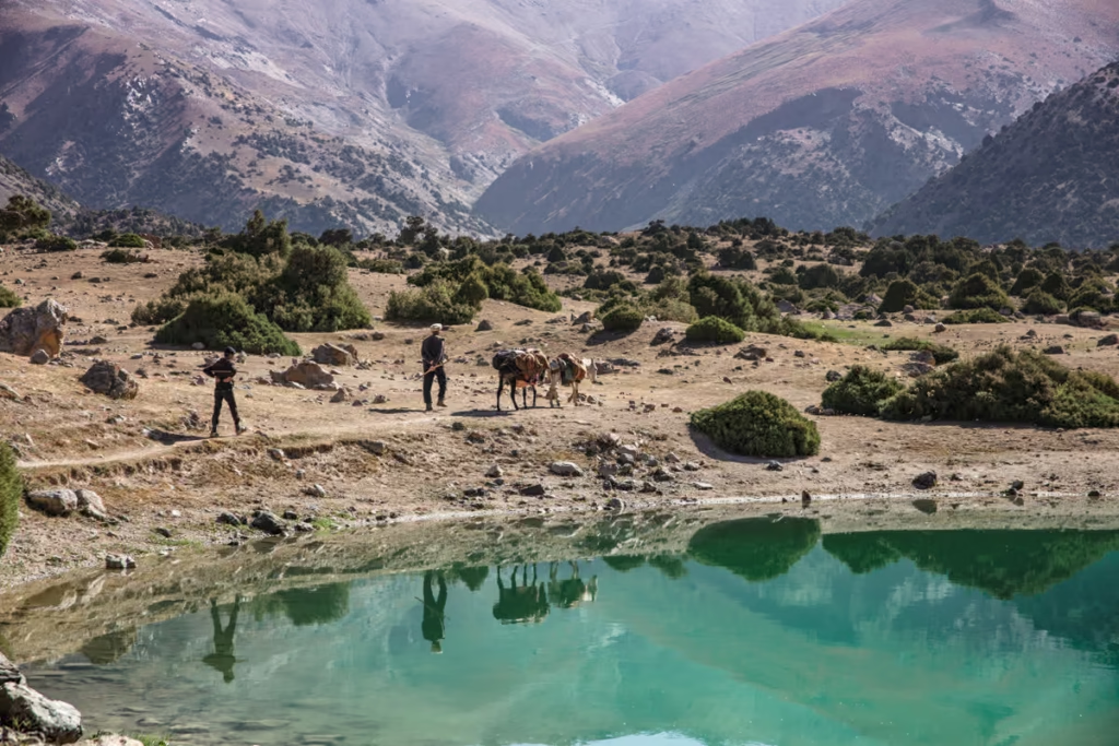
To begin the South Aral Peak hike, you’ll want to arrange for a drop-off/pick up from Karakul Village as the start of the trek is about 18 kilometers away (that is unless you don’t mind tacking 18 kilometers on each way along the Karakul shores to get to the start). Expect the ride to cost around 350 TJS (return) for the entire car from Karakul, so enquire with your guesthouse about arranging. We were doing a wild trip from Karakul to Rushan via the Bartang Valley, so we added it as part of our itinerary.
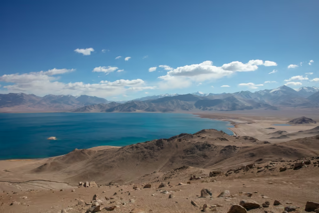
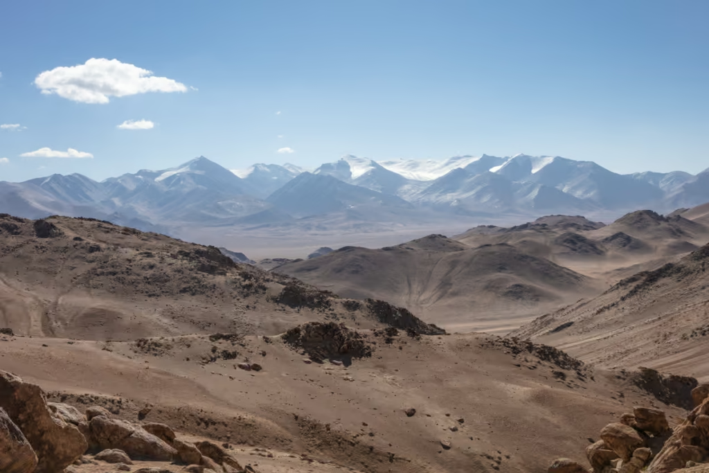
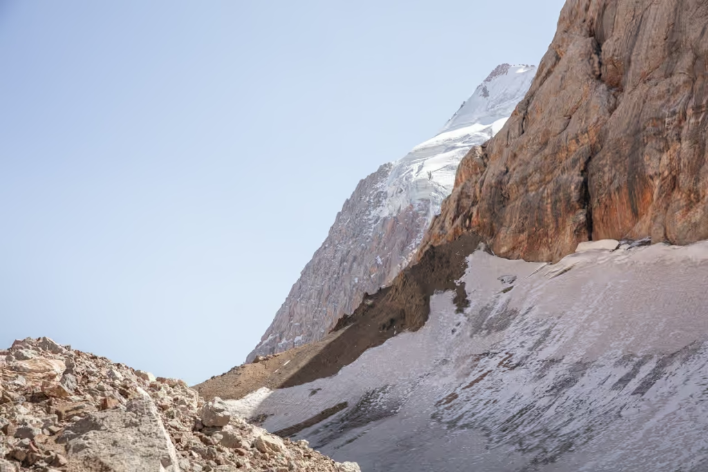
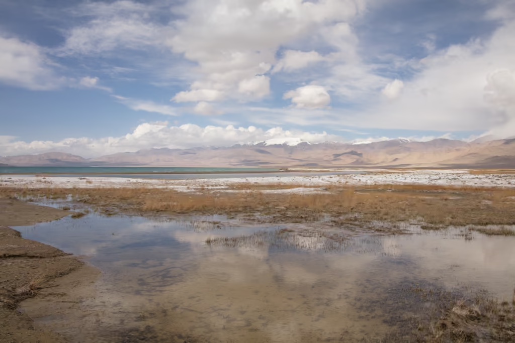
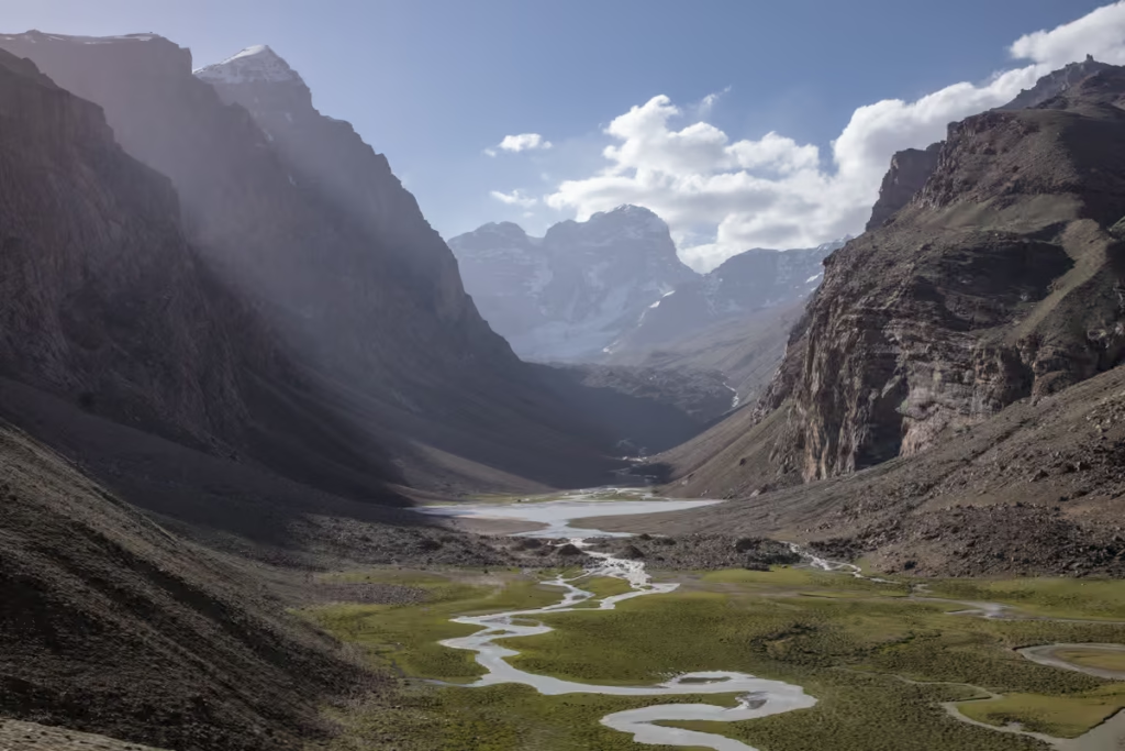
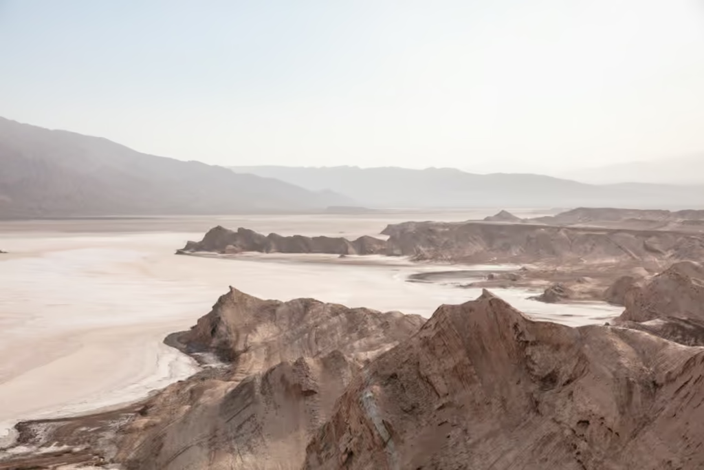
You will get dropped off in a broad valley with the shore of Karakul about 1 kilometer away at a rough elevation of 3,900 meters. Note that there isn’t really a trail per se for the South Aral Peak hike, but it’s pretty simple to find your way up.
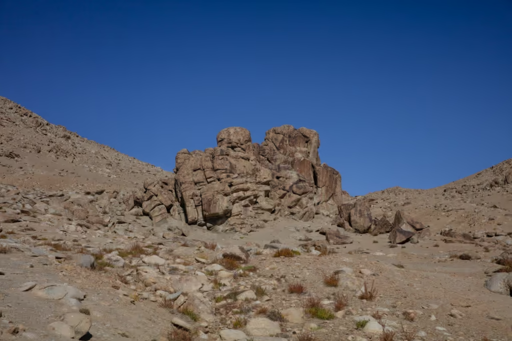
For roughly the first kilometer from here, you will pretty much trek in the northwest direction until you reach a funky rock formation. Once at the rock formation, you can go around it from either side (it also makes a nice place to stop for a quick snack break).
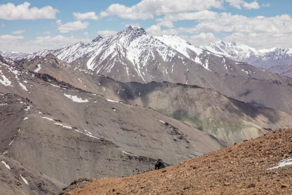
Continuing from the rock formation, the path takes a bit of a turn to head more in a straight north direction. This is also where you begin to pick elevation quickly. At around 1.5 kilometers in, you’ll make a bit of jog to the northeast to continue the last 200 meters to the summit.
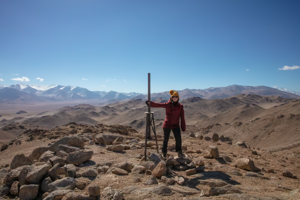
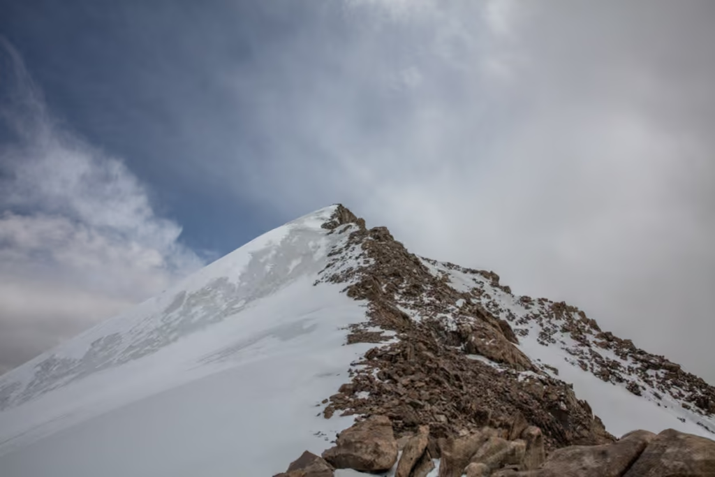
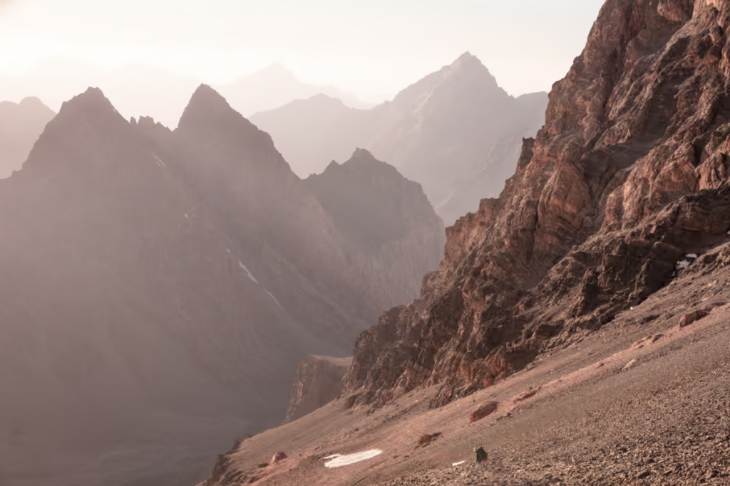
You know you’ll have reached the summit because there is a giant metal post up there. Take some time to enjoy the 360º panoramic views from the top. It is almost always windy at the South Aral Peak summit, so make sure to pack some warm and windproof layers, and there are some nice boulders that double as nice windbreaks you’ll find scattered around to hide from the icy cold gusts (it’s freezing, even in mid-summer).
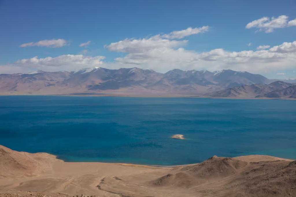
Getting down, you’ll follow the top ridge to the northeast for about 100 meters before taking a turn to the southeast briefly. After that, you will follow the course of a gorge to the northeast until you reach the Karakul shore. For around the last kilometer once you’ve reached the shore, you’ll stay along the shore where you’re driver will likely spot you and come pick you up. If you make it a loop all the way back to where you’ve started you’ll need to add an additional 1.5 kilometers to the total (4.75 kilometers).
Taking off on the Pamir Highway? Use my Pamir Highway Guide and 10 day Pamir Itinerary to plan
What to Pack for Aral Yuj
As the hike up Aral Yuj Peak is a shorter day hike, you don’t need to pack a lot. A warm windproof jacket, trekking pants, sunglasses, hiking boots or trail runners, hat, and gloves are absolute musts. You may find hiking poles handy on the hike down.
And of course, don’t forget to load up your day pack with snacks, water (I like to use the Osprey reservoir), and sunscreen.
Not sure what to do while in Karakul? Check out my Karakul Guide
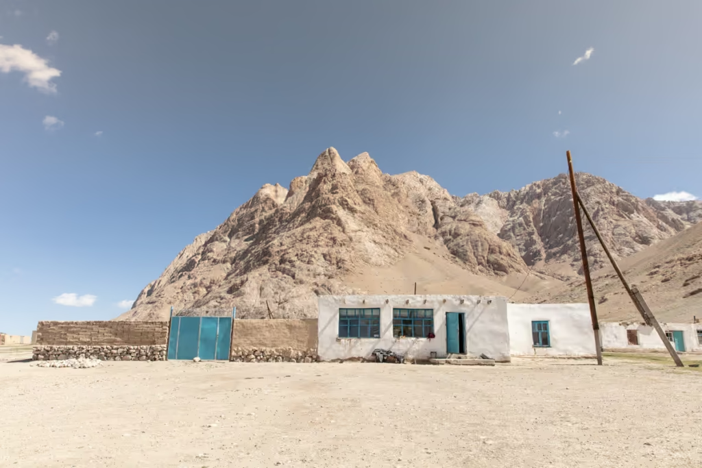
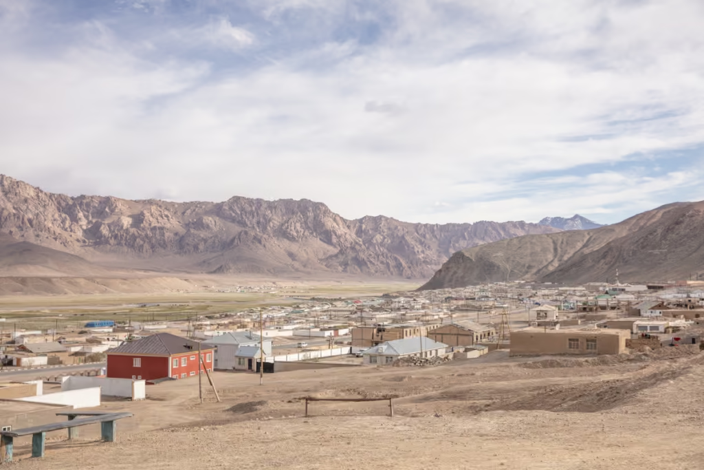
Where to Stay in Karakul
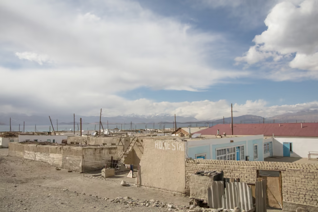
There used to be several homestays scattered around Karakul Village but about the only one left in 2023 is Erkin Guesthouse. Expect most guesthouses to cost between 200-250 TJS per night. Food is getting quite scarce in Karakul too so it would be advisable to bring a little extra with you.
How to Get to Karakul
Karakul is relatively easy to reach as it is located on the Pamir Highway. Though regular transport has not yet returned following the Kyzyl Art border closures between Tajikistan and Kyrgyzstan that started in 2021, it may be tricky finding transport between Murghab and Karakul unless you have time to kill to either hitch or find a shared car from Murghab.
Have any questions about the South Aral Peak Hike?
Ask in the comments section below.
Posts from Tajikistan
A Guide to Rasht Valley, Tajikistan
Soviet Architecture in Khorog
10 Essentials to Pack for Central Asia
The Gardan i Kaftar Hike in Tajikistan’s Rasht Valley
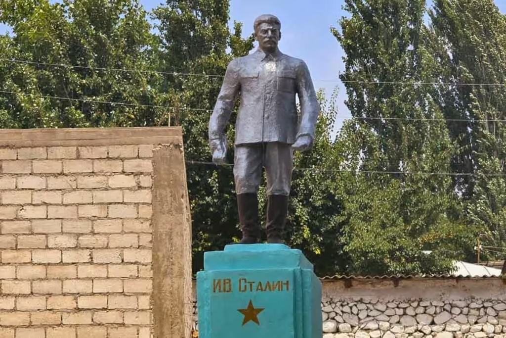
Stalin Statue in Asht, Tajikistan
Crossing Dukdon Pass in Tajikistan’s Fann Mountains
South Aral Peak Hike, Tajikistan
Shaimak Travel Guide Tajikistan
A Day Trip to Taboshar Uranium Mines in Istiklol, Tajikistan
How to Get to Timur Dara Lake, Tajikistan
How to Visit Childukhtaron, Tajikistan
Bolshoi Allo Lake, Tajikistan
Climbing Kyzyldong, Tajikistan
A Guide to the World Nomad Games

Registering with Tajikistan OVIR in Khorog
Karakul Travel Guide, Tajikistan
Gumbezkul Pass Hike, Tajikistan
Madiyan Hot Springs Tajikistan
Dushanbe Day Trips
Central Asia Travel Tips
Tajikistan SIM & eSIM Guide
Vegetarian in Central Asia
How to Get to Khafrazdara Valley, Tajikistan
Eastern Pamir Travel Guide
Trekking to Pik Engles Meadow
Murghab Travel Guide
Tajikistan-Afghanistan Border Crossing at Shirkhan Bandar
Qala i khumb Travel Guide
Akhkon Salt Flat in Asht, Tajikistan
Is Tajikistan Safe?
Sarazm Ruins: Tajikistan’s Oldest City
How to Get to Lake Sarez
Tajikistan Border Crossings

Hike the Lakes Loop in Tajikistan’s Fann Mountains
Shokhdara Valley, Tajikistan
Tajikistan Visa Guide
Crossing Chimtarga Pass
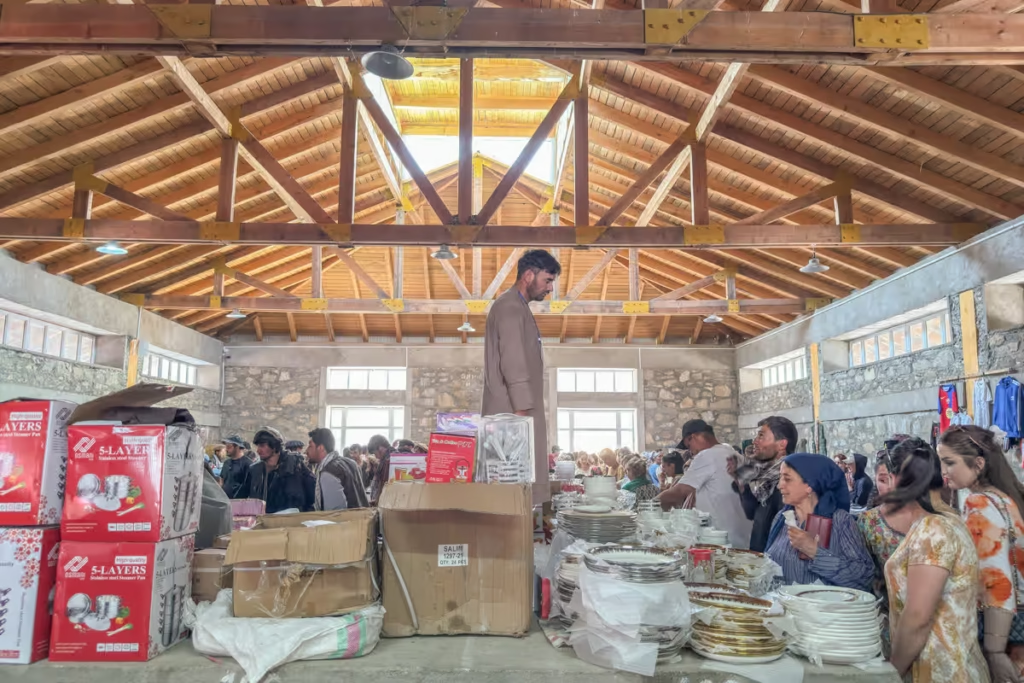
Afghan Bazaar in Khorog, Tajikistan
Tajik Wakhan Valley Travel Guide
How to Get a GBAO Permit
12 Day Fann Mountains Trekking Expedition, Tajikistan
12 Day Pamir Highway Expedition
Iskanderkul & Sarytag Travel Guide
Kyzyl Art Border Crossing

Jizeu Trek in Tajikistan’s Pamir
10 Reasons to Visit the Pamirs

Tajikistan In Photos
Tajikistan Itinerary for 1-4 Weeks
Solo Female Travel in Central Asia