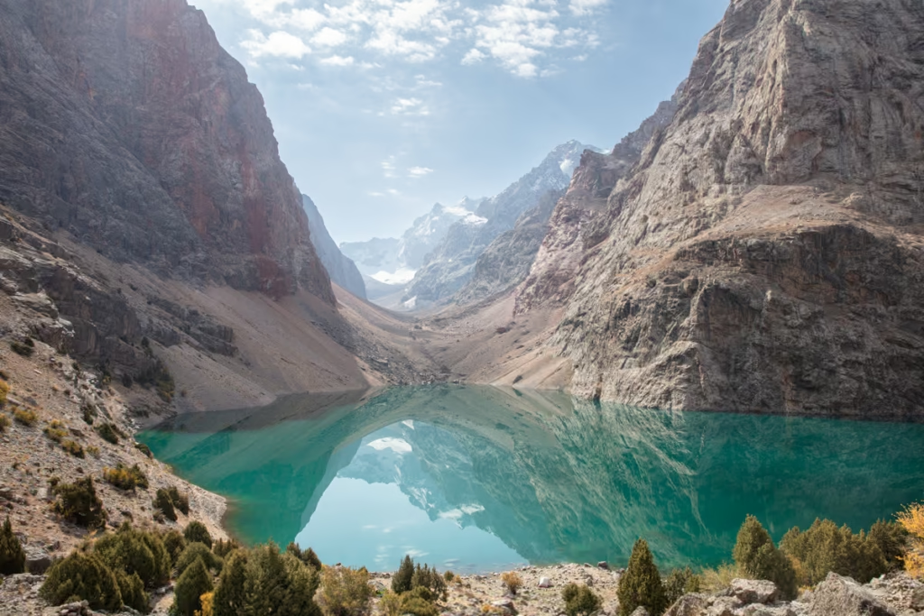
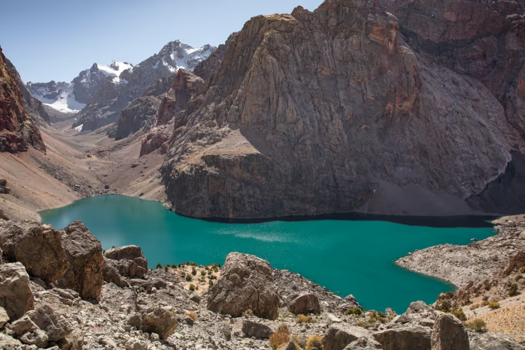
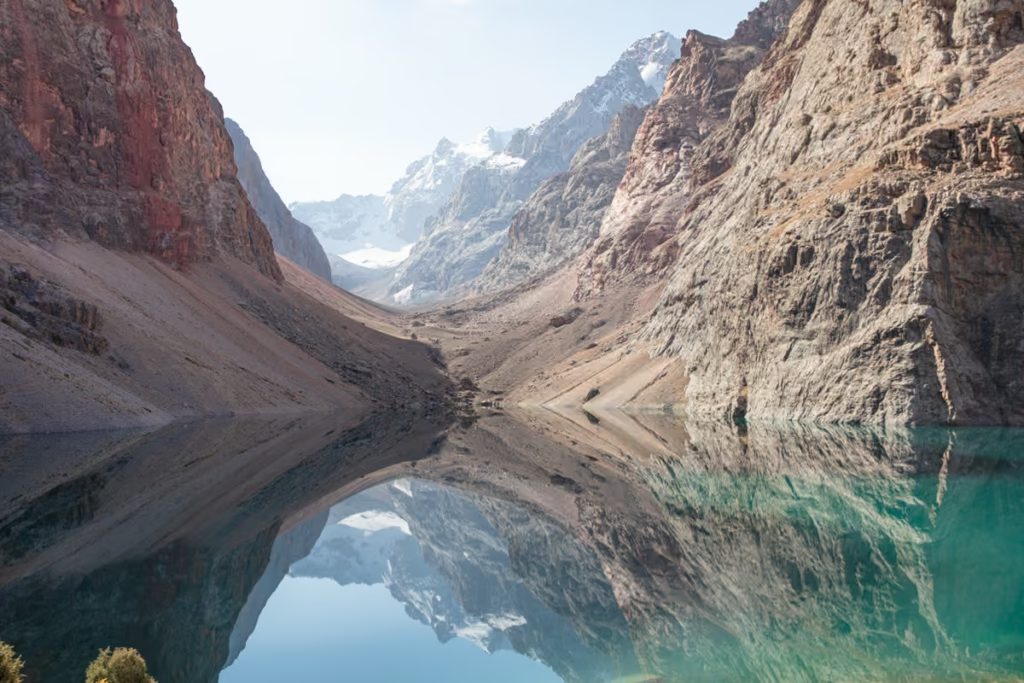
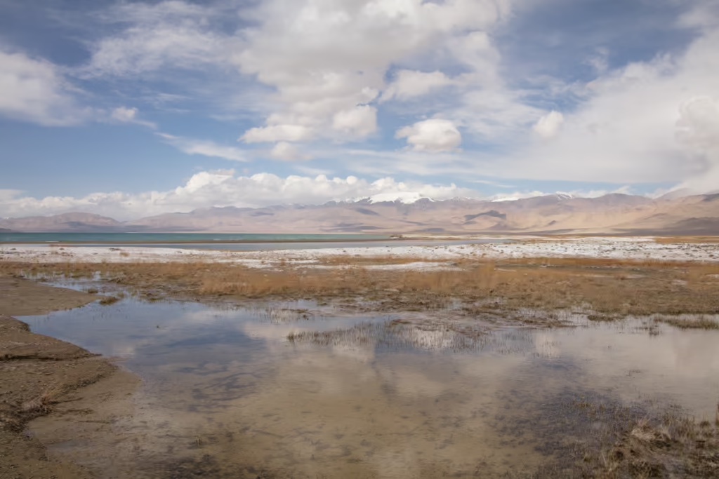
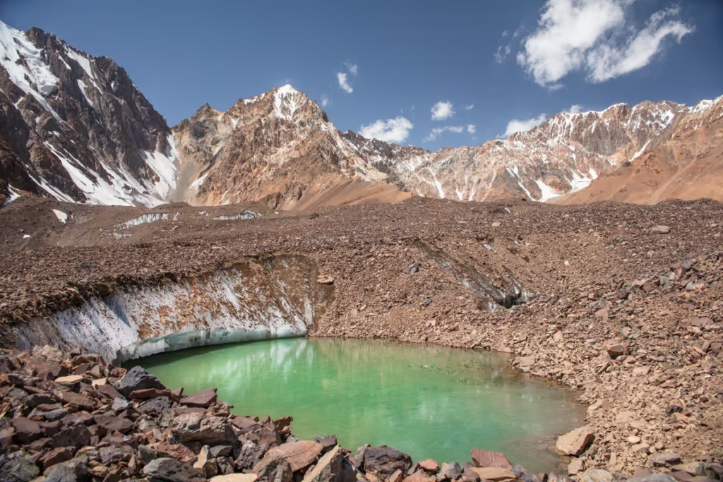
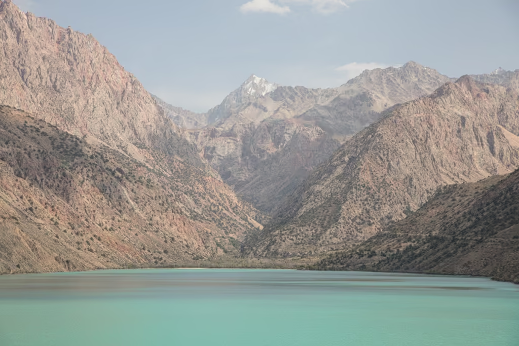
Bolshoi Allo Lake in Tajikistan’s Fann Mountains
Updated June 2026, Bolshoi Allo Lake in Tajikistan’s Fann Mountains was originally published in August 2020
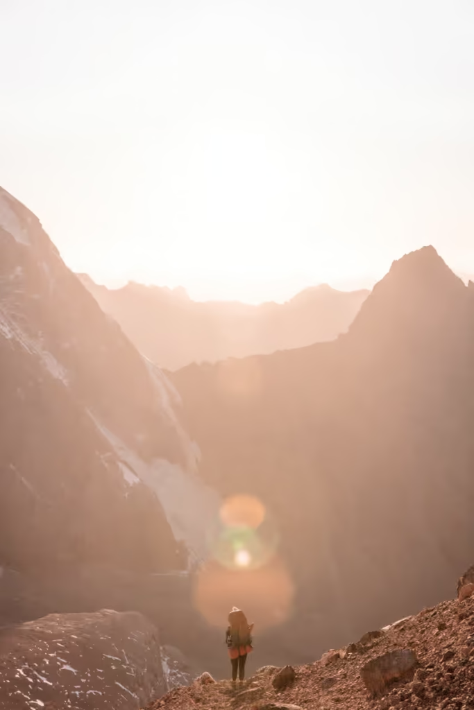
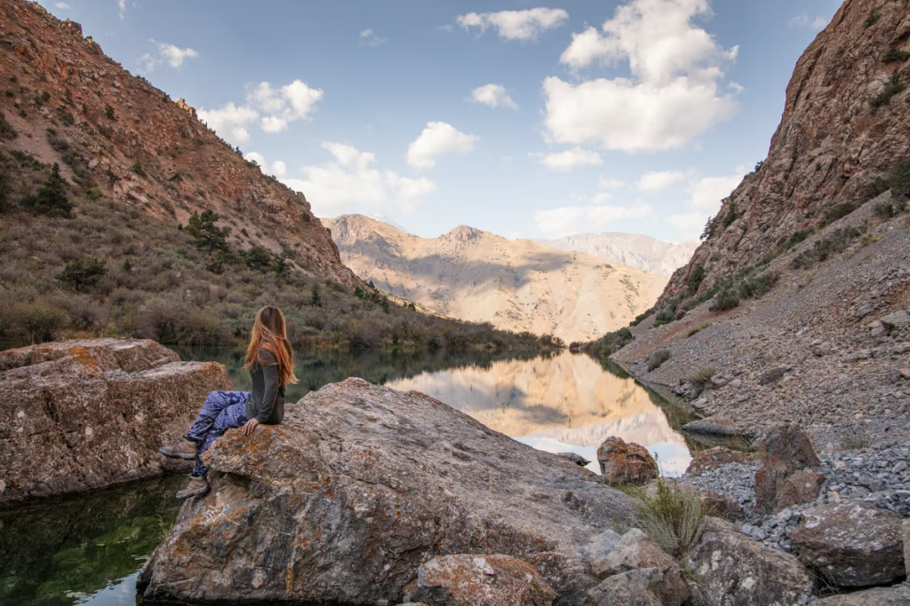
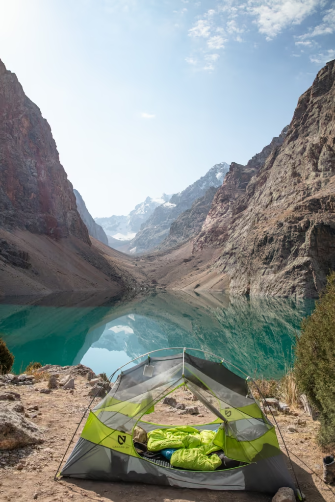
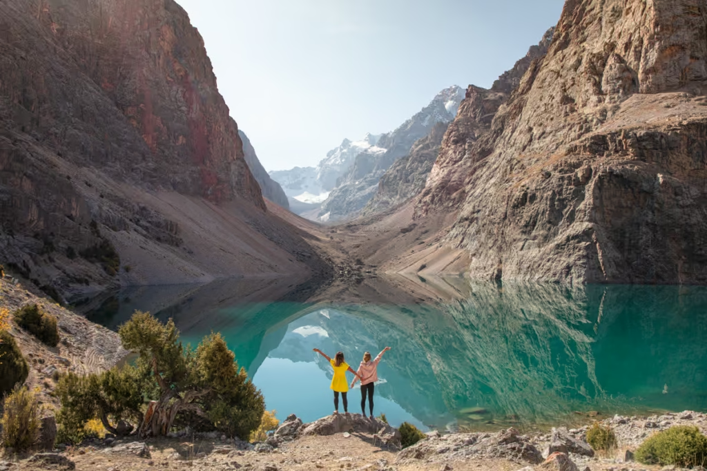
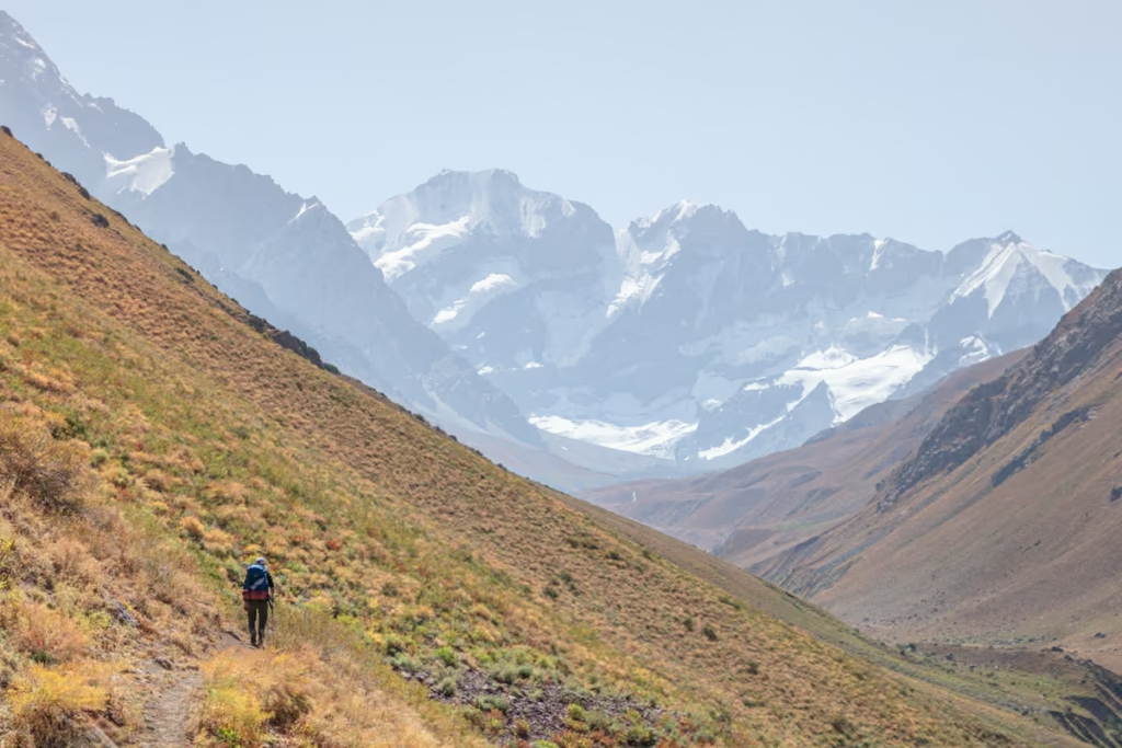
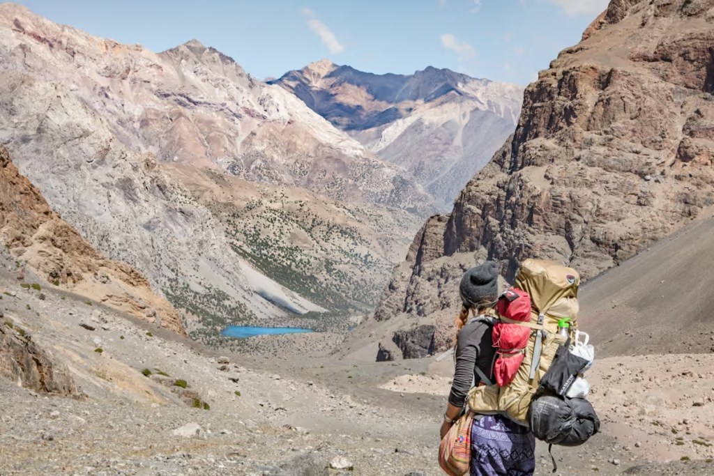
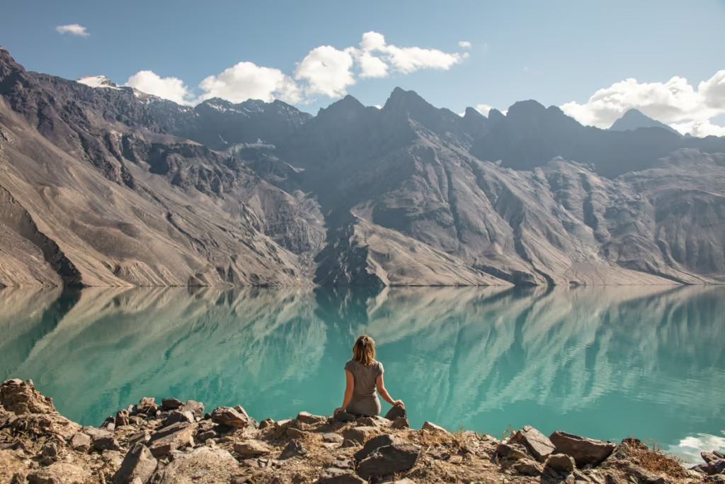
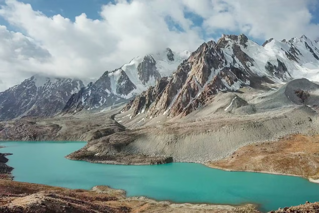
The beautiful lake of Bolshoi Allo is one of my favorite places to set up camp and kick back for a couple of days or more (it’s quite the effort to get here anyway).
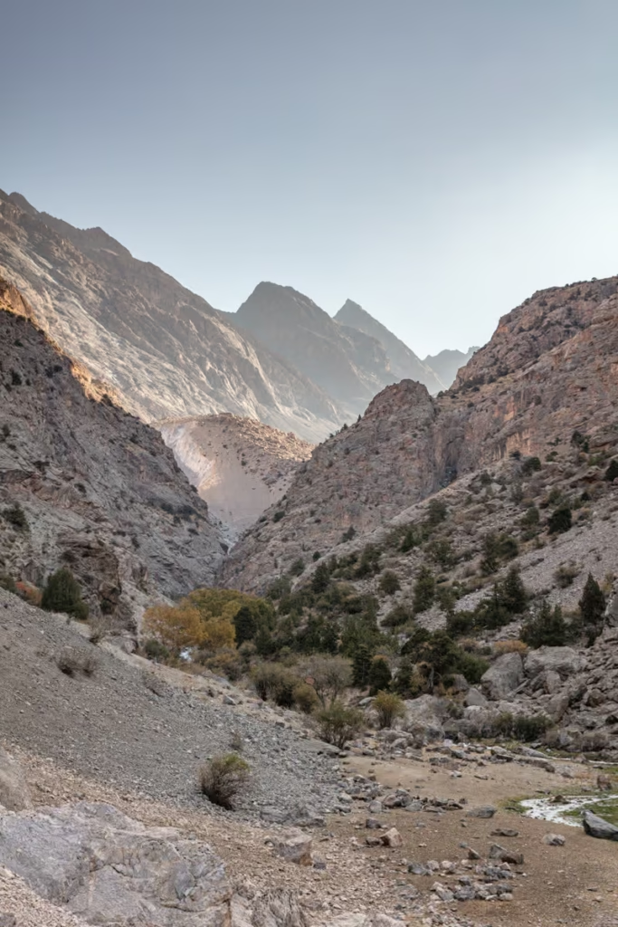
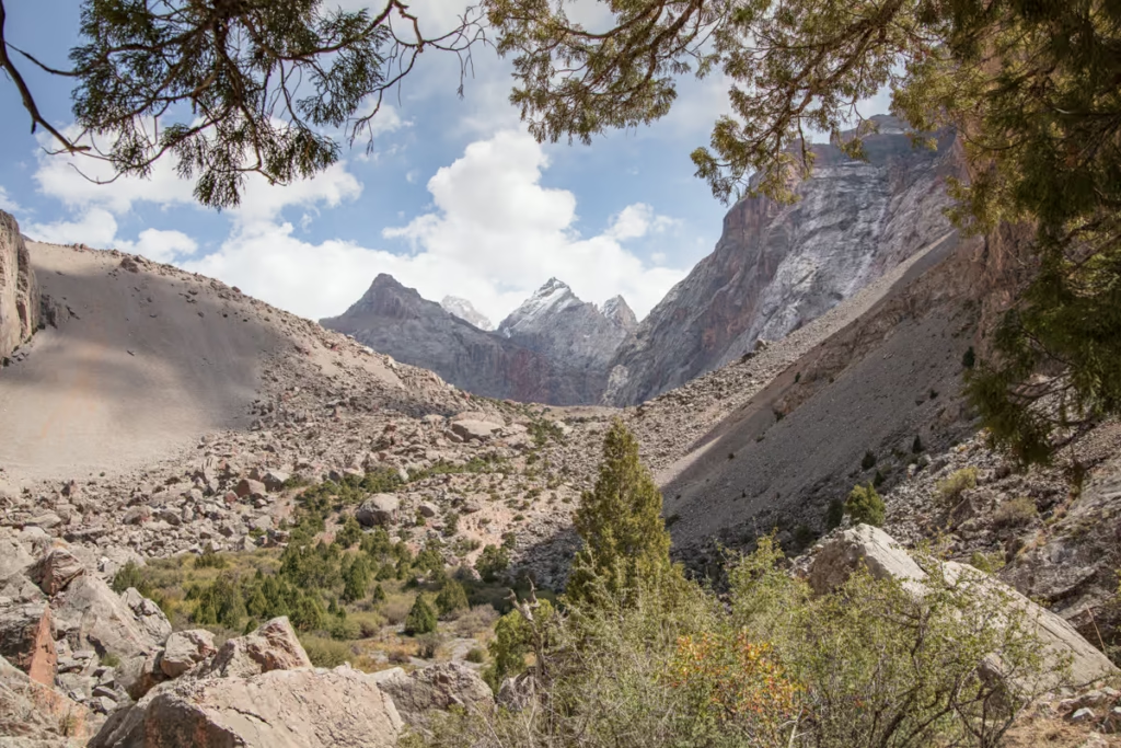
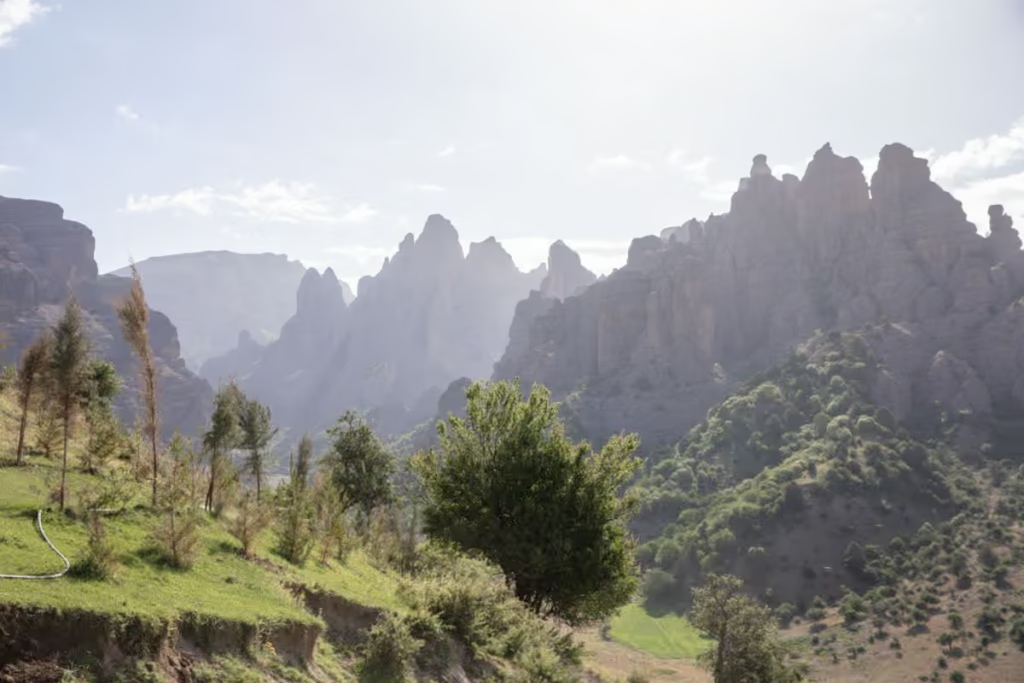
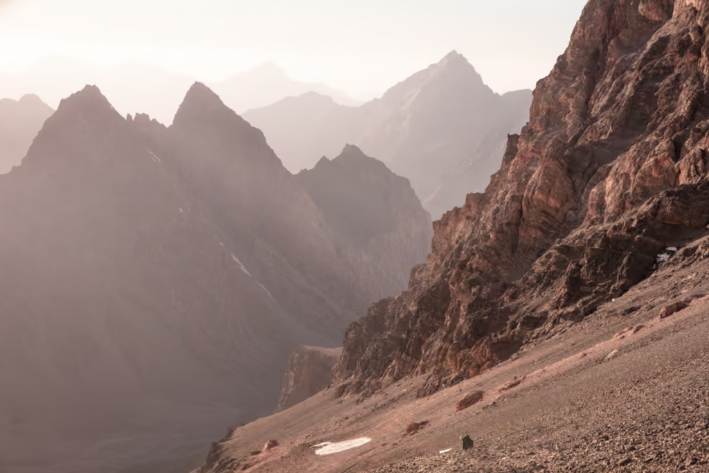
Set in an amphitheater of jagged, glacially carved peaks and surrounded by juniper trees, Bolshoi Allo is the perfect reward after taking on the grueling Chimtarga Pass, the highest non-technical pass in the Fann Mountains to arrive here.
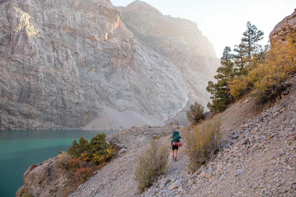
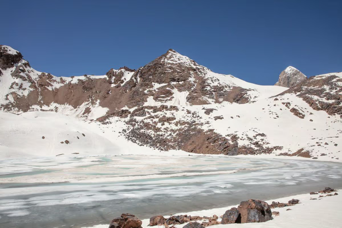
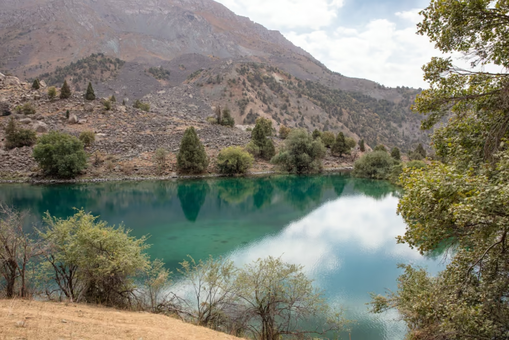
Bolshoi Allo’s waters are ice cold, fed by the Zindon River that tumbles down from precarious glaciers clung to the faces of Gora Chimtarga and Gora Energia, and from the glaciers that tumble down from Pik Moskva via the Left Zindon (Левый Зиндон) River, feeding Vierkyni Allo Lake on its way down.
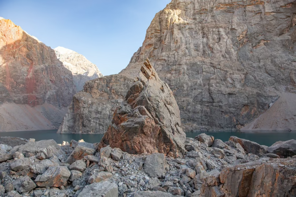
Being glacially fed not only makes the waters here freezing cold, but also gives the lake its stunning teal-turquoise color.
See more in my Fann Mountains trekking guide
Need Travel Insurance and Evacuation Services?
Start shopping for travel insurance plans over at IATI Insurance. Readers of the Adventures of Nicole get a 5% discount off your plan.
The Adventures of Nicole partners with Global Rescue to offer the world’s leading medical evacuation and security advisory services. To travel with peace of mind, explore their evacuation coverage.
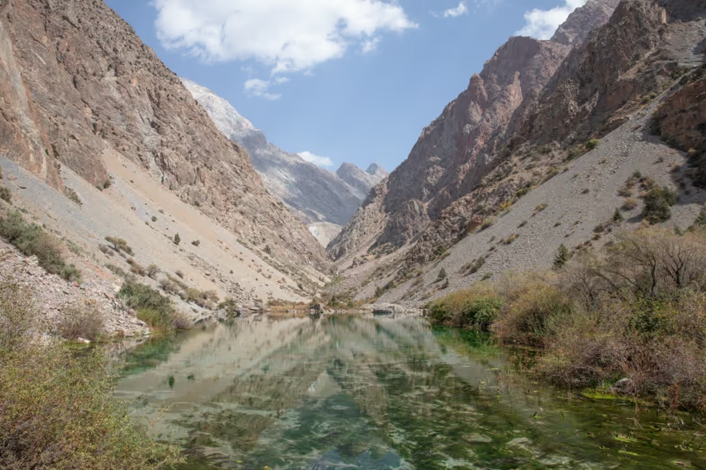
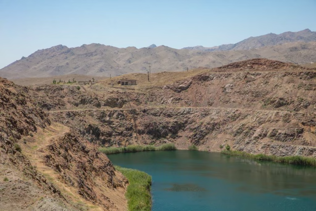
Bolshoi Allo is somewhat bean-shaped as it curves around the face of Pik Allo to the west where the lake ends abruptly at a pile of boulders that continue to tumble down to the west following the Zindon River Valley.
Bolshoi Allo was formed by this boulder dam at the lake’s western shores that I can only assume was the result of an earthquake since this area is quite prone. The Zindon River does manage to squeeze out between boulders to continue to flow in a westerly direction until it meets and joins with the Amshut River, which flows out into the larger Archamaidon River.
There are several ways to access Bolshoi Allo Lake, which I will cover below, though the route over Chimtarga Pass is the most common. If you’re just starting to plan your visit to Tajikistan I recommend picking up a copy of Bradt Tajikistan, as well as a copy of Trekking in Tajikistan which covers how to reach Bolshoi Allo.
Wanna hike in Tajikistan? Check out the 10 best treks in Tajikistan for more ideas
Bolshoi Allo via Chimtarga Pass
- Duration: 2 days · 1 night
- Elevation: Up 1,230 meters · down 1,560 meters
- Distance: 13 kilometers
For this routing, you’ll likely start at either Artuch Basecamp near Kulikalon Lakes or Vertical Alovaddin Basecamp near Lake Alovaddin.
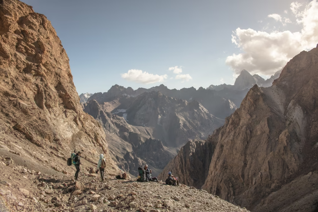
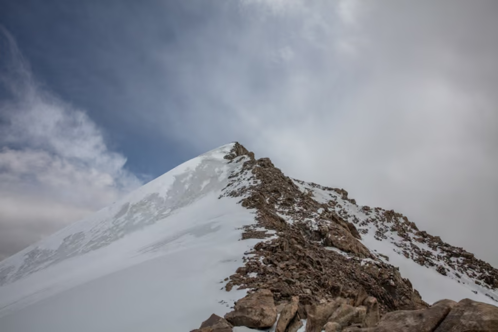
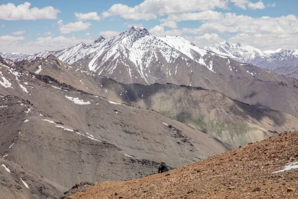
From Lake Alovaddin you’ll continue up to Mutnyi Lake from which you’ll begin your ascent up 4,740 meter Chimtarga Pass. Many opt to camp between Mutnyi and the top of the pass, while others (like me) will choose to get up and over the pass in a single day, this is entirely up to you and what you’re comfortable with.
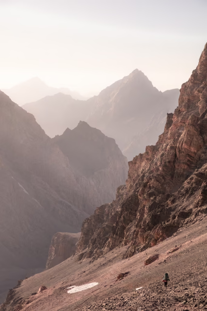
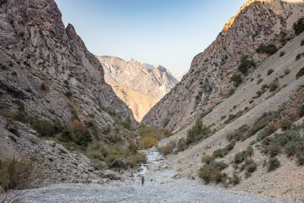
Once over the pass try to follow the somewhat viable path through loose rocks down into the Zindon River Valley. Once in the valley, you’ll simply follow the course of the valley until you reach Bolshoi Allo Lake on your right side.
Read my in-depth guide to Crossing Chimtarga Pass
Via the Archamaidon & Amshut Rivers
- Duration: 1 day
- Elevation: Down 1,540 meters
- Distance: 10 kilometers
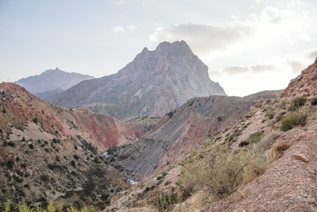
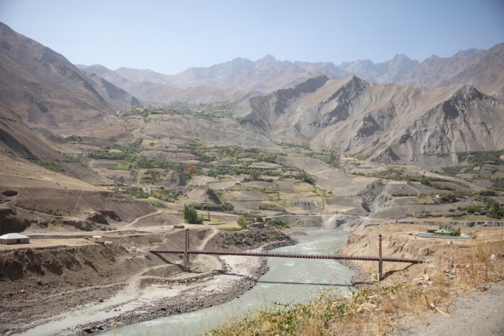
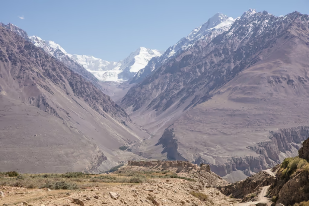
This routing would be used by those that are starting from the Archamiadon Valley, Haft Kul, Iskanderkul (via Dukdon Pass), etc. If you are planning to access Bolshoi Allo from Chimtarga Pass, this is the most common exit (in reverse of my description you’re about to read).
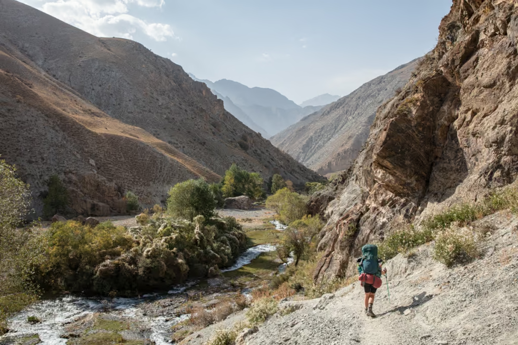
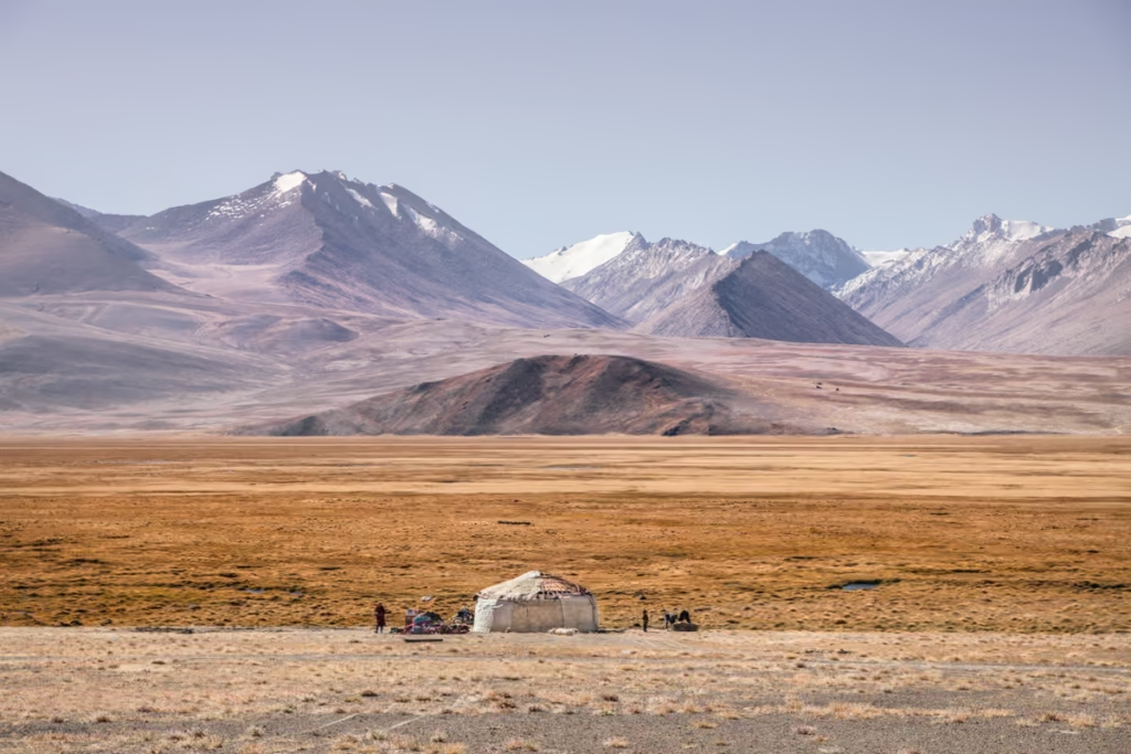
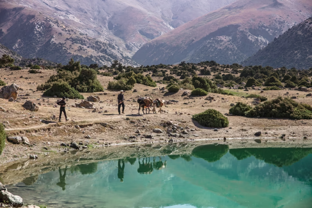
From The Archmaidon River, you’ll follow the Amshut River to the east. The river does split about two kilometers after you lead the Archamaidon, you’ll want to continue due east as this is the Zindon River. You’ll follow a path that climbs higher and higher, passing the occasional family yurt and shepherding stone house.
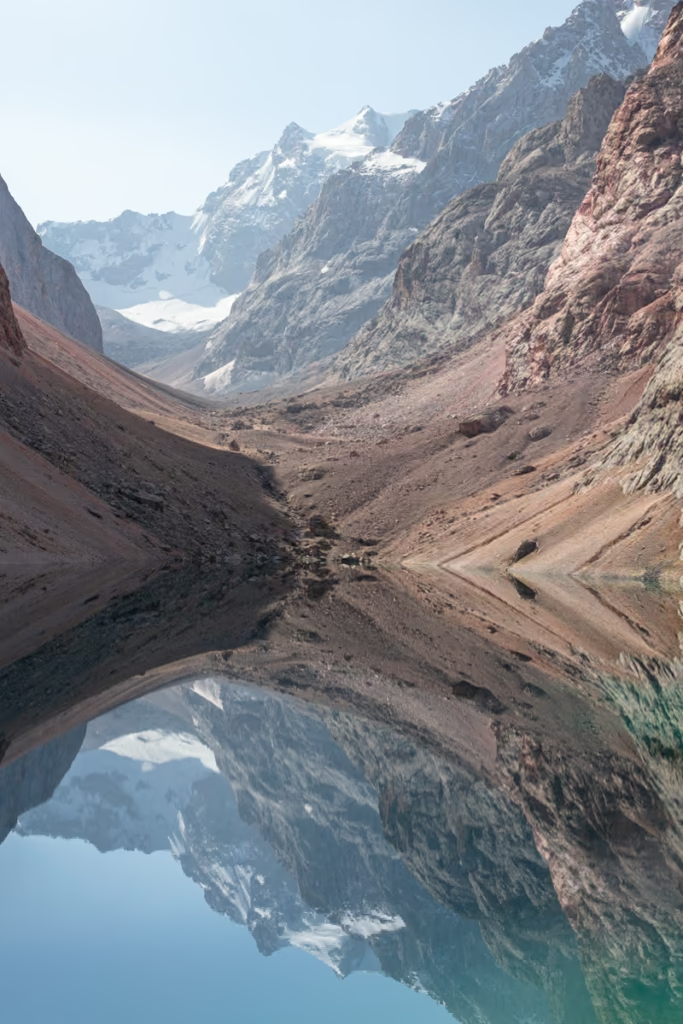
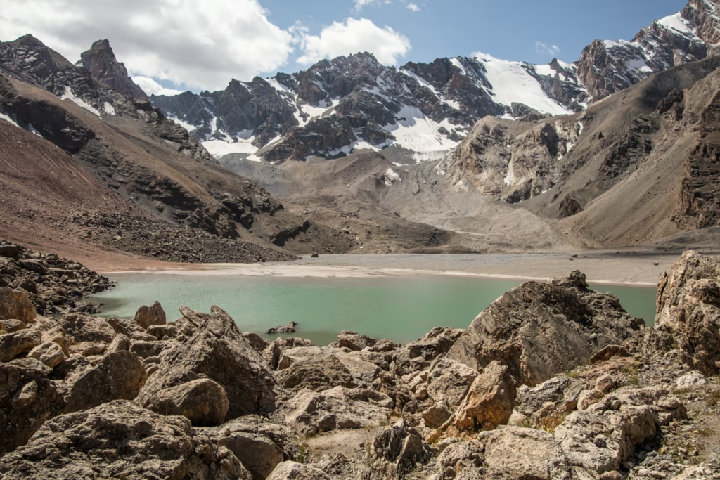
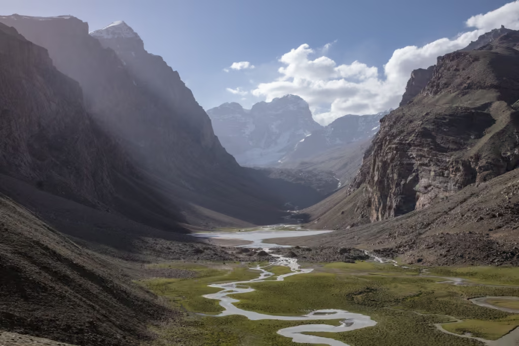
Eventually, you will reach the lake of Maloye Allo, which is best observed in the early morning while the waters remain motionless presenting perfect reflections of the mountains across the Archamaidon Valley if viewed from Maloye Allo’s eastern side, and the braided layers of craggy mountains lining the Zindon Valley if viewed from the western shore of the small lake.
From Maloye Allo the trail continues along the valley floor where the Zindon River can take different courses so you may need to take off your boots and cross in certain spots or boulder hop across others.
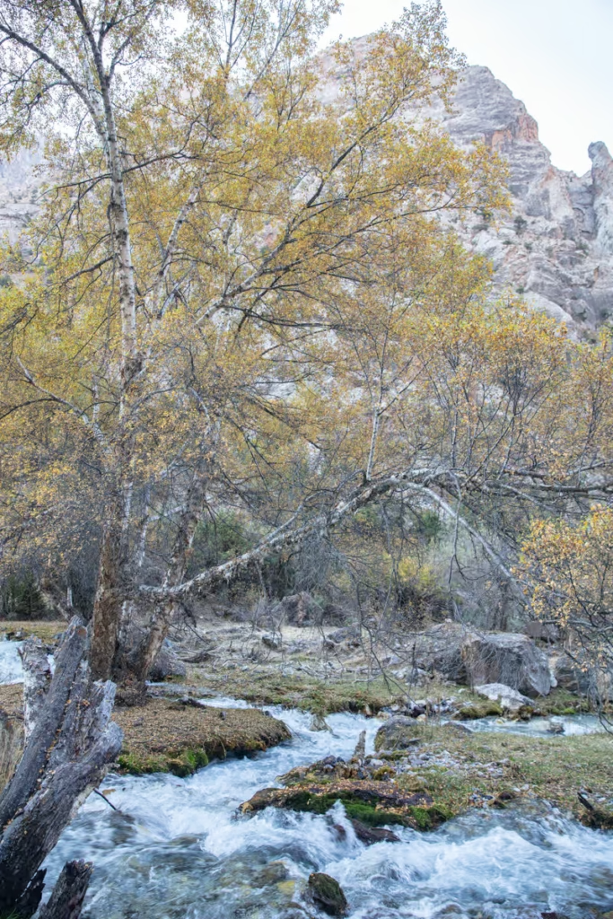
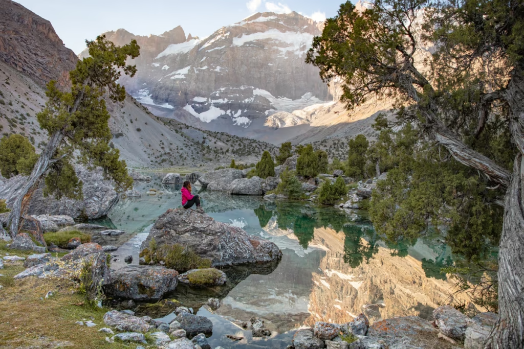
After this stretch, the valley widens a bit where you’ll begin getting to the bottom layer of the large boulders forming the dam over the Zindon River. You’ll meander your way around and up and over the boulder dam to eventually start into the twisted Archa forest* that continues up to the shores of Bolshoi Allo.
*Archa is the Tajik name for Juniper Tree.
Via Dvainoi Pass (From Maslokhateppe & Iskanderkul or Kaznok Pass)
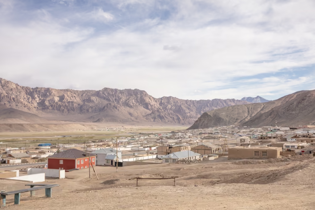
From Sarytag
- Duration: 2 days · 1 night
- Elevation: Up 1,910 meters · down 1,540 meters
- Distance: 32 kilometers
From Mutnyi (Kaznok Pass)
- Duration: 2 days · 1 night
- Elevation: Up 730 meters · down 890 meters
- Distance: 18 kilometers
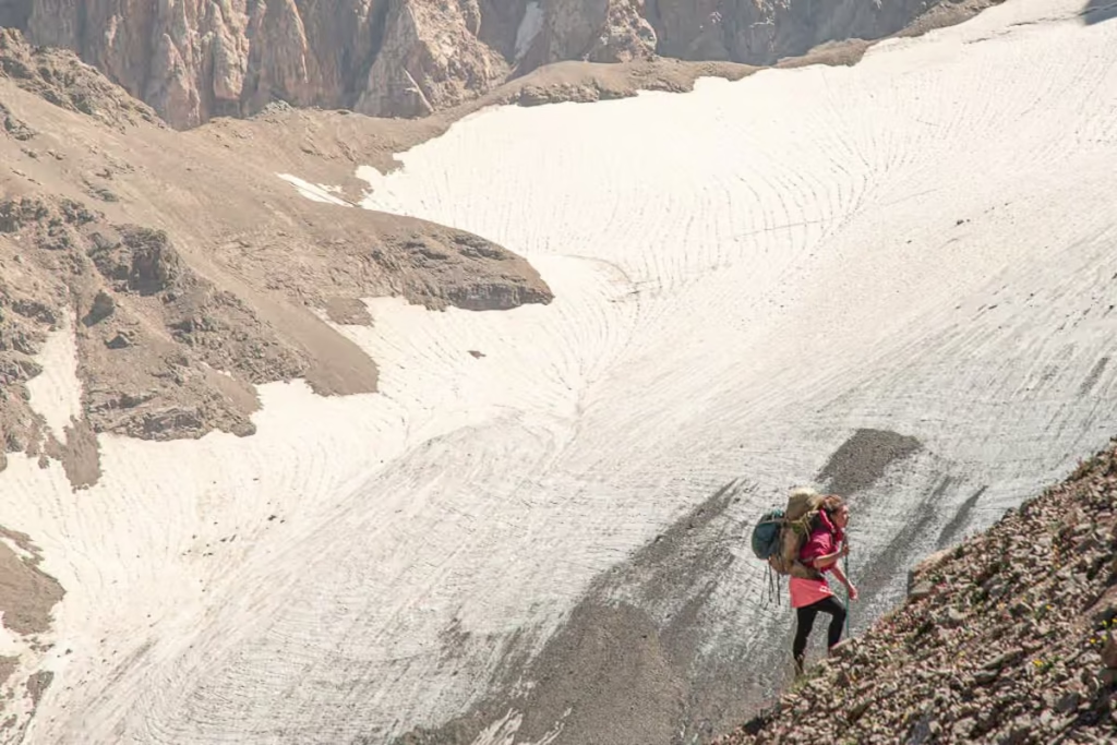
I was actually supposed to do this route (in reverse from Bolshoi Allo) to end up at Iskanderkul in September 2019, but we decided to save it for later thanks to a perilously narrow, downward sloping ledge that neither I or my friend Lana thought we’d be able to make it past without a large likelihood of plunging into the ice-cold waters of Bolshoi Allo without any equipment to safely anchor ourselves.
In summer of 2021, I returned to Tajikistan and finally was able to visit Lake Biriuzavnoe. I accessed it from the mining road that goes from Sarytag and past Maslokhateppe, the foot of Kaznok Pass, and ends just below the lake.
For a decent description of this section, (that is, Bolshoi Allo-Dvainoi Pass-Lake Biriuzovoe-Kishinevskii Pass-Maslokhateppe) I recommend purchasing Jan Bakker’s Trekking in Tajikistan.
If you plan to access Bolshoi Allo from Iskanderkul via this routing, you’ll want to first follow the Karakul River to the west from Iskanderkul Lake and the nearby village of Sarytag.
You’ll eventually veer to the north, following the Arkh River to a place referred to as Maslokhateppe near a shepherding camp and an old Soviet weather station.
From Maslokhateppe you’ll continue to the west, following the course of the Biob River to eventually cross over Kishinevskii Pass and onto the beautiful Lake Biriuzavoe.
From Lake Biriuzavoe you’ll continue over Dvainoi Pass and then follow the Left Zindon River past Vierkyni Allo and onto the perilous narrow stretch that brings you around to the best camping sites around Bolshoi Allo.
If accessing this area from Kaznok Pass, you’ll continue up the Kaznok Pass from Mutnyi Lake which I mentioned earlier.
Once over Kaznok Pass, rather than following the Kaznok River down to Maslokhateppe and down to Iskanderkul, you can follow the Kaznok River the other direction, to the west and where it meets with another river you’ll follow the river coming from the southwest to arrive at Lake Biriuzavoe.
From Lake Biriuzavoe, follow the remainder of the steps mentioned above.
As I haven’t completed the route between Bolshoi Allo and Sarytag, the map above I placed the route from satellite images, so it may not be entirely exact.
What to Pack for Your Adventure to Bolshoi Allo
- Inreach Explorer– GPS & SOS beacon, that can also send and receive text messages. Delorme/Garmin offers some good monthly plans when in use.
- Solar charger– To keep electronics charged in remote areas.
- External battery pack– Great in a pinch when batteries are dead and you’re in the middle of nowhere.
- Backpack– I recommend the Osprey Ariel 65L backpack for women.
- Daypack– My personal favorite is the Osprey Hikelite Plus.
- Hydration Pack– Have water available without having to reach for a water bottle.
- 3 Season tent– I use the MSR NX Hubba-Hubba solo tent when I’m traveling alone and love it!
- Sleeping bag– Useful for trekkers & cyclists. I use a Nemo sleeping bag cold rated to 15 F/-5 C.
- Hiking Boots– My personal favorite is the La Sportiva Trango Tech GTX hiking boot.
- Lightweight cooking camp set– For trekkers and cyclists that plan to prepare their own meals.
- Water Purifier– I personally use the Katadyn water filter. Tap water in the entire country is unsafe for drinking and natural water sources can be contaminated.
- Trekking Poles– Useful for the steep scree slopes and river crossings you may encounter.
- Headlamp– Useful while camping, and for the usual power outages, you’ll have in Murghab and other rural areas.
- Sunscreen– Don’t let the cold fool you, the sun is still powerful, especially at high elevations.
- Mosquito Repellant– Recommended in the summertime especially in the Khatlon Region & around Karakul.
- Prescription & Over the counter medications
- Toiletries
Have Any Questions About Visiting Bolshoi Allo?
Ask in the comments section below.
Posts from Tajikistan
A Guide to Rasht Valley, Tajikistan
Soviet Architecture in Khorog
10 Essentials to Pack for Central Asia
The Gardan i Kaftar Hike in Tajikistan’s Rasht Valley
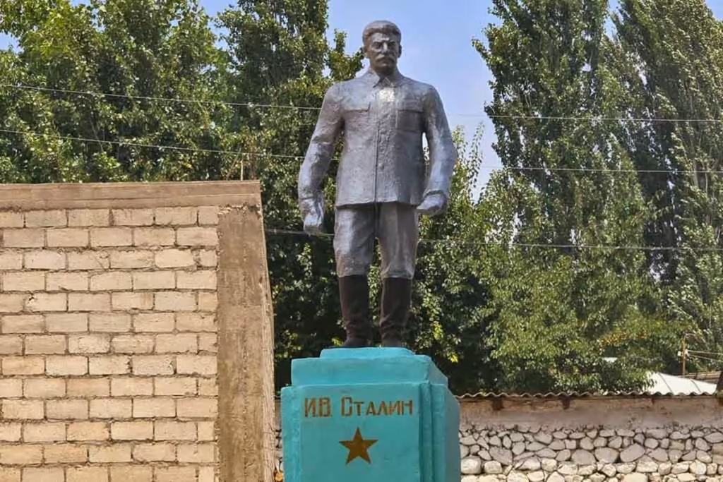
Stalin Statue in Asht, Tajikistan
Crossing Dukdon Pass in Tajikistan’s Fann Mountains
South Aral Peak Hike, Tajikistan
Shaimak Travel Guide Tajikistan
A Day Trip to Taboshar Uranium Mines in Istiklol, Tajikistan
How to Get to Timur Dara Lake, Tajikistan
How to Visit Childukhtaron, Tajikistan
Bolshoi Allo Lake, Tajikistan
Climbing Kyzyldong, Tajikistan
A Guide to the World Nomad Games

Registering with Tajikistan OVIR in Khorog
Karakul Travel Guide, Tajikistan
Gumbezkul Pass Hike, Tajikistan
Madiyan Hot Springs Tajikistan
Dushanbe Day Trips
Central Asia Travel Tips
Tajikistan SIM & eSIM Guide
Vegetarian in Central Asia
How to Get to Khafrazdara Valley, Tajikistan
Eastern Pamir Travel Guide
Trekking to Pik Engles Meadow
Murghab Travel Guide
Tajikistan-Afghanistan Border Crossing at Shirkhan Bandar
Qala i khumb Travel Guide
Akhkon Salt Flat in Asht, Tajikistan
Is Tajikistan Safe?
Sarazm Ruins: Tajikistan’s Oldest City
How to Get to Lake Sarez
Tajikistan Border Crossings

Hike the Lakes Loop in Tajikistan’s Fann Mountains
Shokhdara Valley, Tajikistan
Tajikistan Visa Guide
Crossing Chimtarga Pass
Afghan Bazaar in Khorog, Tajikistan
Tajik Wakhan Valley Travel Guide
How to Get a GBAO Permit
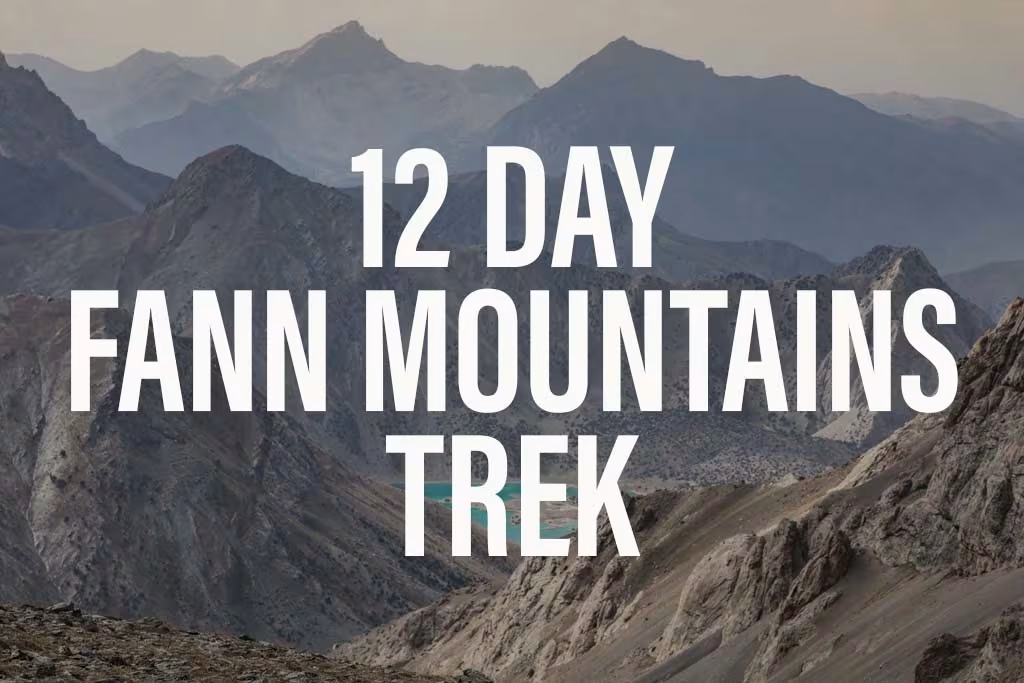
12 Day Fann Mountains Trekking Expedition, Tajikistan
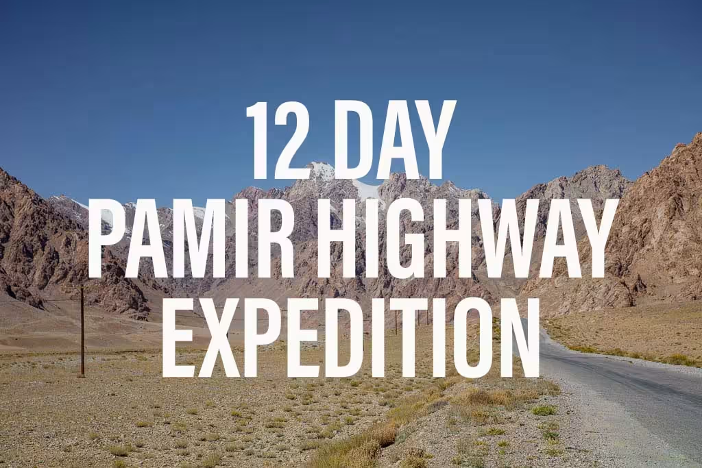
12 Day Pamir Highway Expedition
Iskanderkul & Sarytag Travel Guide
Kyzyl Art Border Crossing

Jizeu Trek in Tajikistan’s Pamir
10 Reasons to Visit the Pamirs

Tajikistan In Photos
Tajikistan Itinerary for 1-4 Weeks
Solo Female Travel in Central Asia