Lakes Loop, Tajikistan: Complete Hiking Guide
Updated October 2026, Lakes Loop, Tajikistan: Complete Hiking Guide was originally written in June 2018
The Lakes Loop in Tajikistan’s Fann Mountains is one of the country’s classic multi-day treks, linking the turquoise Kulikalon Lakes and Alovaddin Lakes over high mountain passes. The standard route starts at Artuch Alplager and can be completed as a loop, although there are several ways to shorten, extend, or modify the trek.
I’ve hiked extensively throughout the Fann Mountains, and the Lakes Loop remains one of my favorite routes in Tajikistan. It combines spectacular alpine lakes, high passes, juniper-covered valleys, mountain villages, and some surprisingly good trekking infrastructure for such a remote corner of the country.
This guide covers the Lakes Loop route, distances, elevation, different itinerary options, how to get there, camping, transport, packing, and safety, so you can plan the trek independently or arrange a guide and support team.
Wanna learn more about the Fanns? Check out my Fann Mountains Trekking & Travel Guide
Need Travel Insurance and Evacuation Services?
Start shopping for travel insurance plans over at IATI Insurance. Readers of the Adventures of Nicole get a 5% discount off your plan.
The Adventures of Nicole partners with Global Rescue to offer the world’s leading medical evacuation and security advisory services. To travel with peace of mind, explore their evacuation coverage.
- Lakes Loop Tajikistan at a Glance
- Lakes Loop, Tajikistan
- Alternative Lakes Loop, Tajikistan Routes
- How to Get to the Lakes Loop in Tajikistan
- Where to Stay on the Lakes Loop, Tajikistan Trek
- Do You Need a Guide for the Lakes Loop?
- What to Pack for the Lakes Loop Tajikistan
- Lakes Loop Tajikistan Practical Information
- Why I Love the Lakes Loop, Tajikistan
Lakes Loop Tajikistan at a Glance
| Location | Fann Mountains, Tajikistan |
| Typical start / finish | Artuch Alplager |
| Typical distance | About 32 km round trip |
| From Artuch village | About 50 km round trip |
| Typical duration | 3–4 days |
| Highest point | Alovaddin Pass, 3,860 m |
| Main lakes | Kulikalon and Alovaddin |
| Difficulty | Moderate |
| Best season | Late June to mid-September |
| Camping | Yes |
| Guide required? | No, but navigation experience is recommended |
| Public transport access | Yes, via Panjakent and Artuch |
Lakes Loop, Tajikistan
Standard Lakes Loop Details
Where Does the Lakes Loop Start?
The Lakes Loop usually starts and ends at Artuch Alplager, also known as Artuch Base Camp, although you can modify the route to start or finish at Artuch Village, Yakkakhona, or Vertical Alovaddin.
Artuch Alplager is the most practical starting point for most hikers because it is the main trekking base in this part of the Fann Mountains and is relatively straightforward to reach from Panjakent.
From Artuch Alplager, my GPS track measures roughly 32 km for the standard loop back to the alplager. If you start and finish in Artuch Village, add roughly 18 km because the village is about 9 km from the alplager each way.
Starting and finishing in Yakkakhona adds roughly 14 km.
Lakes Loop Tajikistan Distance & Elevation
The distance of the Lakes Loop in Tajikistan depends on where you start and finish. From Artuch Alplager, my route measures approximately 32 km round trip. Starting and finishing in Artuch Village increases the total to roughly 50 km.
The route reaches approximately 3,860 meters at Alovaddin Pass, with the lowest point around 1,770 meters near Artuch Village. Across the full route from Artuch Village, the total elevation change is roughly 3,130 meters.
How Many Days Do You Need for the Lakes Loop?
Most hikers should plan 3 days and 2 nights for the standard Lakes Loop from Artuch Alplager, although taking 4 days gives you more time to enjoy the lakes and allows for weather or route changes.
If you are starting and ending in Artuch Village, plan on 3–4 days depending on your pace and whether you want to spend additional nights at Kulikalon or Alovaddin.
Do You Need a GPS Track for the Lakes Loop?
I strongly recommend carrying an offline GPS track for the Lakes Loop in Tajikistan, even if you are hiking with someone who knows the route. Trail markings can be limited, and the route has several variations between Kulikalon and Alovaddin.
I’ve embedded my Wikiloc tracks throughout this guide for the different Lakes Loop variations. Download your route before leaving reliable internet access and carry a backup navigation method.
How Difficult Is the Lakes Loop in Tajikistan?
The Lakes Loop is a moderate to challenging trek, mainly because of the elevation gain, high mountain passes, and remote setting rather than technical climbing.
The trails themselves generally don’t require mountaineering skills, but you should be comfortable hiking for several hours a day with a backpack and ascending to around 3,860 meters at Alovaddin Pass.
The biggest challenge for many hikers is altitude. You may feel perfectly fine at Kulikalon and then find the climb toward Alovaddin Pass considerably harder than expected. Build in enough time to acclimatize before starting the trek and don’t underestimate the effects of altitude.
Best Time to Hike the Lakes Loop
The best time to hike the Lakes Loop in Tajikistan is generally late June through mid-September. July and August offer the most reliable summer trekking conditions, although snow can linger around the highest passes and weather can change quickly.
Outside the summer trekking season, snow can make the high passes difficult or impossible to cross. Early-season stream crossings can also be more challenging when snowmelt increases water levels.
June: Early season with cooler temperature and lush sceneries. High passes can still be snowed in, espeically early in the month, making the trekking a bit more challenging. June can see a bit more rain than other summer months.
July & August: With clear and dry weather typically, July and August are two of the best months to hike the Lakes Loop in Tajikistan. Passes are usually snow-free and easier to navigate.
September: My personal favorite time of year to do the Lakes Loop hike. September tends to bring cooler temperatures but skies are typically clear.
Standard Lakes Loop, Tajikistan Itinerary
Artuch Alplager ➤ Kulikalon Lakes ➤ Laudden Pass ➤Lake Alovaddin ➤ Alovaddin Pass ➤ Kulikalon Lakes ➤ Artuch Alplager
Day 1: Artuch Alplager to Kulikalon Lakes
Most will begin the trek from Artuch Alplager or from Yakkakhona Village. The trailhead is easy to find near the alplager.
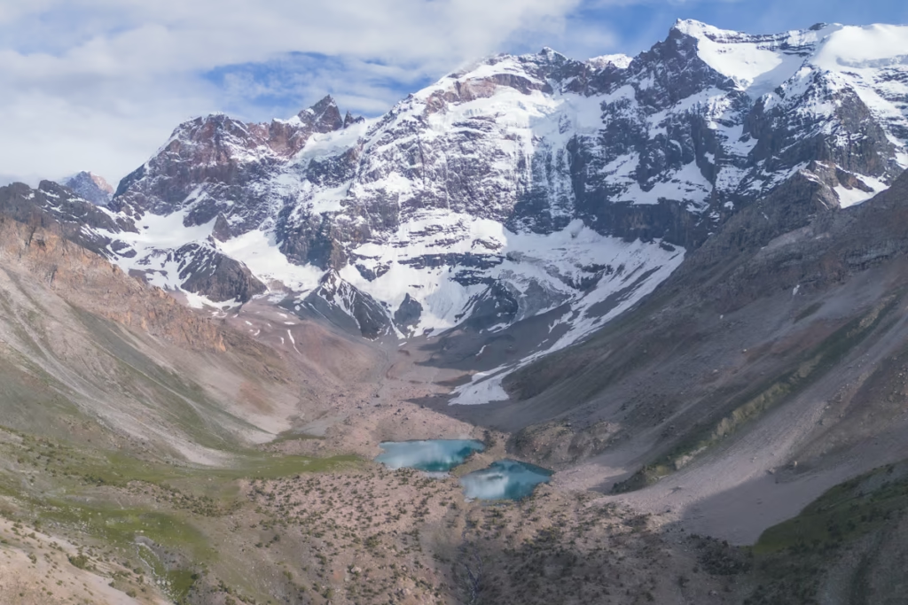
The trail will first lead you across a meadow and you’ll follow the creek uphill to eventually arrive at Kulikalon. You can camp at the shores of Kulikalon, Bibijonat, or Dushakha Lakes in this big bowl. There are shepherds with a settlement at the far end of Kulikalon Lake, so don’t be surprised if they invite you for a meal.
Day 2: Kulikalon Lakes to Alovaddin Lakes
On day two make sure to wake up early and catch the sunrise as the morning fog rolls off of Kulikalon.
From Kulikalon, you have two main options for reaching Alovaddin Lakes. The more direct route crosses Alovaddin Pass at approximately 3,860 meters. The alternative crosses Laudden Pass at roughly 3,630 meters and takes a longer but more gradual route.
I recommend taking a different pass on the return journey if conditions and your route allow. It adds variety and lets you see the Kulikalon and Alovaddin basins from different angles.
Arrive at Lake Alovaddin in the late afternoon. You can either set up camp on the grassy southern shores of the lake or join others a little bit away at the base camp.
There is now a small restaurant operating at the bottom of Alovaddin Pass as you approach the lake. You can purchase simple Tajik meals, water, soda, and beers here. They usually start-up in June and close shop around mid-September
Need more ideas? Check out the 10 best treks in Tajikistan
Day 3: Alovaddin Lakes to Artuch Alplager

The sunrise at Alovaddin is not to be missed. So make sure to set your alarm early enough to catch it in the morning.
Some may opt to spend another night at the lake, trek to Mutnyi Lake, or continue back to Kulikalon.
I would recommend taking the other pass on your return than when you came over for a change of scenery. You can plan to camp at Kulikalon again tonight or do one long day back to Artuch.
For those that do not want to do this trek as a loop, it is possible to arrange for a car to pick you up at Vertical Alovaddin. You can opt to start from Vertical Alovaddin and end at Artuch as well.
Alternatively, you can do the trek as a loop from Vertical Alovaddin instead of Artuch.
You can opt to take a day trip to Mutnyi Lake and return to camp one more night at Alovaddin
Yet another alteration to the original trek is to start from Zimtut Village and take a trail headed east that will lead you to the Chukurak Lakes, nestled in the Chukurak Gorge. From the Gorge continue onto Artuch Alplager. Alternatively, you can just trek 1.5 km to Chukurak Lakes from the Alplager.
Note on spelling: You may see Alovaddin Lake and Alovaddin Pass written as Alauddin, Alaudin, or Alovadin in maps and other trekking guides. They refer to the same area.
Alternative Lakes Loop, Tajikistan Routes
Mutnyi Lake Day Hike
Lake Alovaddin ➤ Mutnyi Lake ➤ Lake Alovaddin
Distance: approximately 10 km round trip
Elevation gain: approximately 710 m
Time: 1 day
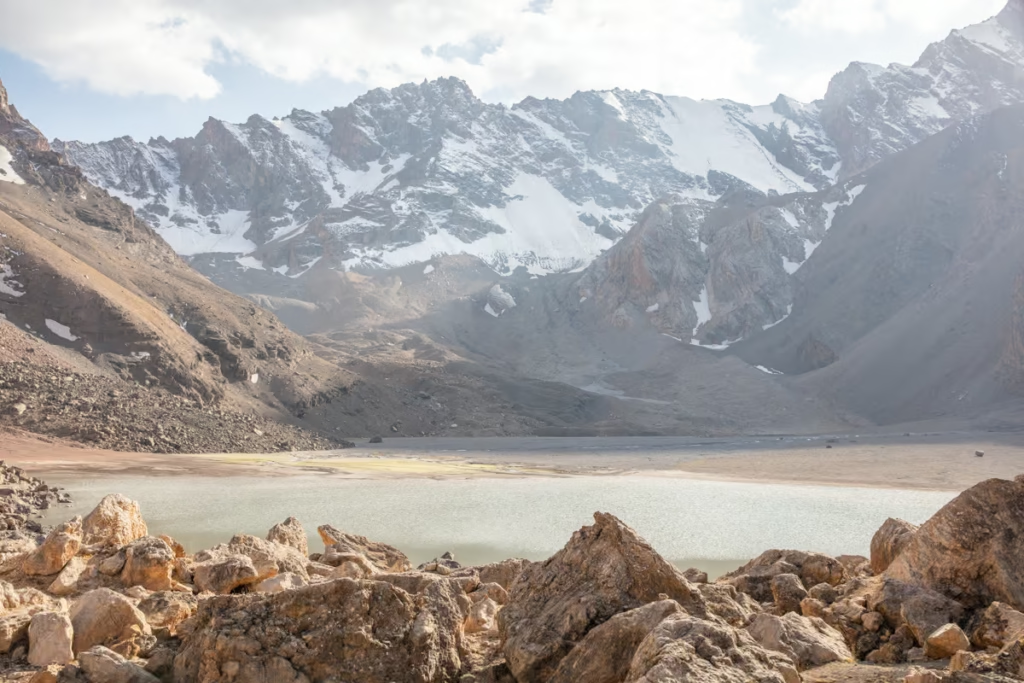
For those wanting to add a day and night onto their Lakes Loop trek, you can visit the murky lake of Mutnyi that sits underneath the towering peaks of Chimtarga and Energia.
Mutnyi is a roughly 5 kilometer hike from Alovaddin Lakes (10 kilometers return) and is a 710 meter elevation gain from Alovaddin.
Also worth noting is that Mutnyi is a good place to camp for a night for those heading onto Chimtarga Pass and Kaznok Pass, you can read more about these treks in the Fann Mountains Guide.
Zimtut to Lakes Loop via Chukurak Lakes
Zimtut ➤ Guitan Pass ➤ Chukurak Lakes ➤ Artuch Alplager ➤ Kulikalon ➤ Laudden Pass ➤ Lake Alovaddin ➤ Alovaddin Pass ➤ Kulikalon ➤ Artuch Alplager
This is an alternative way to reach the Lakes Loop from Zimtut Village, adding Chukurak Lakes and a high pass before joining the standard route at Artuch Alplager.
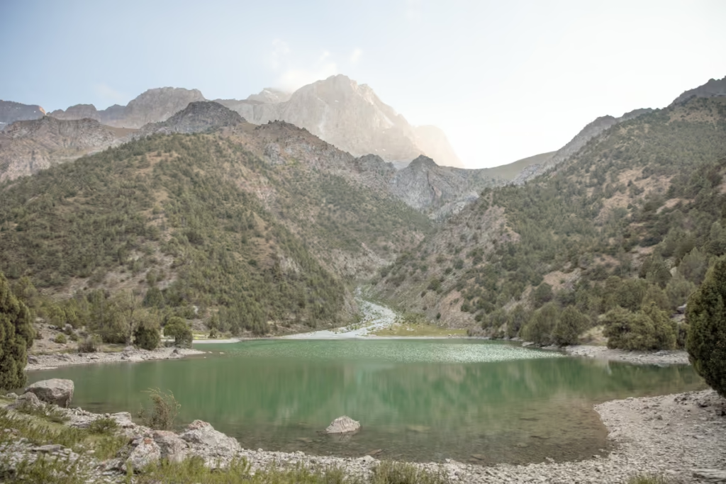
From Chukurak Lakes make the short 1.5 kilometer hike up to Artuch Alplager and from there follow the typical Lakes Loop Route. Alternatively, instead of trekking up to Artuch Alplager after Chukurak Lakes, you can head east over 3,180 Govkhona Pass to arrive at the western shore of Lake Kulikalon.
Lakes Loop One-Way Trek: Artuch to Alovaddin
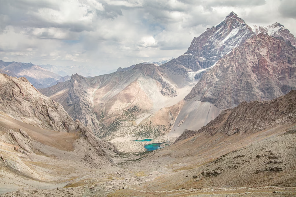
If you are short on time, you don’t have to complete the full Lakes Loop in Tajikistan. One of my favorite shortened options is to hike from Artuch Alplager to Kulikalon Lakes, continue over Alovaddin or Laudden Pass to Alovaddin Lakes, and finish at Vertical Alovaddin.
Artuch Alplager ➤ Kulikalon Lakes ➤ Alovaddin Pass or Laudden Pass ➤ Alovaddin Lakes ➤ Vertical Alovaddin
This is a great option for those short on time but still wanting to see and experience what all the Lakes Loop trek has to offer. From Artuch Alplager you’ll continue to Kulikalon to set up camp for the night.
The next day you can either head up and over Alovaddin Pass or Laudden Pass arriving at Lake Alovaddin to camp for a night before being picked up in the morning from Vertical Alovaddin (though you may opt to get picked up in the late afternoon the morning of your arrival.
This trek can easily be done in either direction.
Note that there are shared taxis between Artuch and Panjakent, but Vertical Alovaddin is not usually serviced by shared transport, therefore you should arrange transport to or from Vertical Alovaddin in advance.
Artuch to Kulikalon Lakes Hike
The Artuch to Kulikalon Lakes hike is the shortest way to experience the Fann Mountains’ famous lake basin and can be done as a long day hike or overnight trek.
Artuch Alplager ➤ Kulikalon Lakes ➤ Artuch Alplager
This short version of the Lakes Loop trek can be done as an overnight trip or as a long day trip from Artuch.
From Artuch Alplager trek 5 kilometers into the Kulikalon Bowl where you can enjoy the scenery and explore the Kulikalon, Bibijonat, and Dushakha Lake systems.
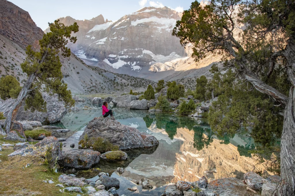
You can set up camp next to any of these lakes, though Bibijonat seems to offer the best sleeping options with soft grass along its shores.
Don’t be surprised if friendly shepherds treat you to chai and non when they find you out here.
Vertical Alovaddin to Alovaddin Lakes Hike
This is the shortest and easiest way to reach Alovaddin Lakes. From Vertical Alovaddin, the trail is only about 1.5 km to the lakes, making this a realistic day hike or overnight trip for travelers who don’t want to tackle the full Lakes Loop.
Vertical Alovaddin ➤ Alovaddin Lakes ➤ Vertical Alovaddin
This trek is short and sweet and can either be a day trip or an overnighter.
Get dropped off at Vertical Alovaddin, the old Russian base camp, and trek 1.5 kilometers to the shore of Lake Alovaddin.
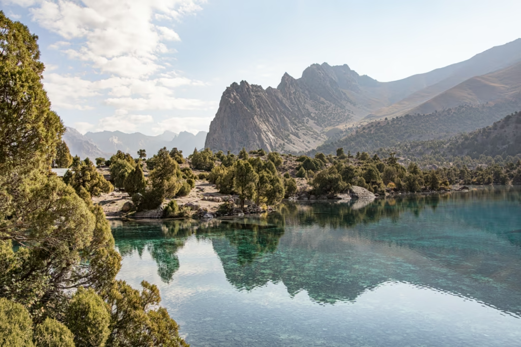
I recommend to camp on the south shores as it has the best sunrise views and comfortable grass to pitch your tent on.
How to Get to the Lakes Loop in Tajikistan
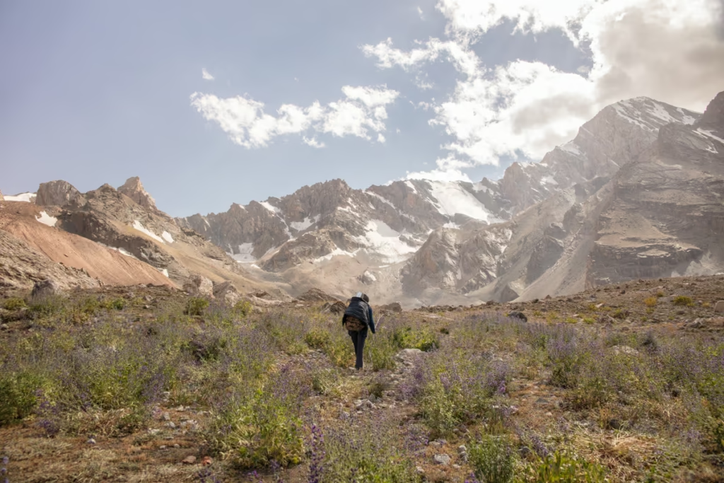
The easiest way to reach the Lakes Loop is via Panjakent and Artuch Alplager. Panjakent is the main transport hub for the western Fann Mountains and can be reached from Dushanbe, Khujand, or Samarkand in Uzbekistan.
From Panjakent, you can arrange a shared taxi or private vehicle to Artuch. Keep in mind that Artuch Village and Artuch Alplager are not the same place. The alplager is several kilometers farther up the valley, so confirm with your driver that you are going all the way to the mountain base.
Shared transport schedules can be informal and change seasonally, so I would avoid relying on an exact departure time. If you are arriving late in the day, arranging a private vehicle in advance is the safer option.
Shared Taxi
| Route | Shared taxi | Marshrutka |
|---|---|---|
| Dushanbe → Panjakent | 170 TJS | 90 TJS |
| Khujand → Panjakent | 170 TJS | 120 TJS |
| Panjakent → Artuch | 85 TJS | 70 TJS |
| Panjakent → Haft Kul | 80 TJS | 35 TJS |
| Dushanbe → Sarvoda | 70 TJS | |
| Sarvoda → Alovaddin | 70 TJS | |
| Sarvoda → Iskanderkul | 70 TJS | |
| Samarkand → Panjakent | 60,000 UZS + 15 TJS |
From Samarkand
If you are coming from Uzbekistan, the easiest route is to cross the Samarkand–Panjakent border, continue to Panjakent, and then arrange transport onward to Artuch.
It is possible to travel from Samarkand to Artuch in one day if you start early, but don’t cut the timing too close. Shared transport on the Tajik side can become less predictable later in the day.
Plan your visit to Panjakent: The Panjakent Travel Guide
Coming over from Uzbekistan? Plan the perfect two week Uzbekistan & Tajikistan adventure
Where to Stay on the Lakes Loop, Tajikistan Trek
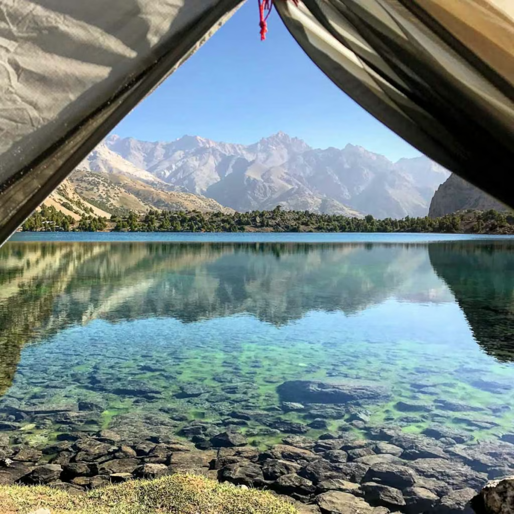
Camping on the Lakes Loop
Camping is the standard way to spend the nights between Artuch and Alovaddin. You can pitch a tent around the Kulikalon Lakes and Alovaddin Lakes, although you should choose established or appropriate campsites and avoid damaging vegetation.
A family started a little chaikhana that rents fixed tents on the shores of Bibijonat in the Kulikalon Bowl. Over on the south side of Alovaddin another family started a chaikhana and rents out fixed tents there too.
Artuch Alplager
This is the most convenient place to stay before or after the trek. The 2026 published rates list tent camping at 60 TJS per person, while rooms start at 200 TJS per person with breakfast included. Prices vary by day, so check current rates before booking.
Vertical Alovaddin
1.5 kilometers down from Lake Alovaddin the the Vertical Alovaddin Base Camp. You can rent rooms here with breakfast included.
Homestays
Many families that live in the area will likely offer to take you in and subsequently show you legendary Tajik hospitality. Many times they will refuse payment, but do try to hide some Somoni in the home or try giving to the eldest child.
Lakes Loop Accommodation Options:
- Artuch Alplager: Jumping off point for Kulikalon Lakes, or great ending point.
- Yakkakhona: Hazratsho Homestay (nearby to Artuch, Hazratsho speaks English and can help arrange cars and pack animals for trekking)
- Vertical Alovaddin: Jumping off point for Alovaddin Lakes, or great ending point.
Accommodations in cities and towns I recommend from personal experience:
- Dushanbe: Hello Hostel Super clean with a friendly and helpful staff. Tucked away in a quiet neighborhood in Dushanbe. Greenhouse Hostel is another popular option nearby.
- Khujand: Kalai Khujand Hostel, sat right inside the walls of the Khujand Citadel, is an excellent option for budget travelers. Armon Apartment Hotel also comes recommended by other travelers.
- Panjakent: Hotel Umariyon Clean and located smack near the middle of Panjakent. The staff speaks Tajik and Russian only but are still helpful and friendly nonetheless. Another great option is Salom Hostel, with a friendly and helpful owner named Safar.
- Samarkand (Uzbekistan): Samarkand offers an array of accommodation options. Highly recommended places to stay in Samarkand are Amir Hostel, Samarkand Travel Inn, and East Star Hotel.
Plan your stays in Dushanbe, Panjakent and Khujand
Do You Need a Guide for the Lakes Loop?

You do not necessarily need a guide for the Lakes Loop, but this is still a remote mountain trek with high passes, rapidly changing weather, and sections where navigation can become less obvious.
Experienced hikers with offline maps, a GPS track, appropriate equipment, and mountain experience can hike independently. If you are inexperienced with multi-day trekking or uncomfortable navigating above 3,500 meters, hiring a local guide or support team is a worthwhile option.
A guided trek can also include transport, camping equipment, food, porters, or pack animals, which makes the logistics considerably easier. My company, Safar Expeditions that I started that specializes in off the beaten path destinations with a focus on Tajikistan and the Fanns can organize treks for the Lakes Loop and others in Tajikistan. Paramount Journey is an excellent choice and offers some of the best itineraries around the Fanns and their staff are extremely knowledgeable.
What to Pack for the Lakes Loop Tajikistan
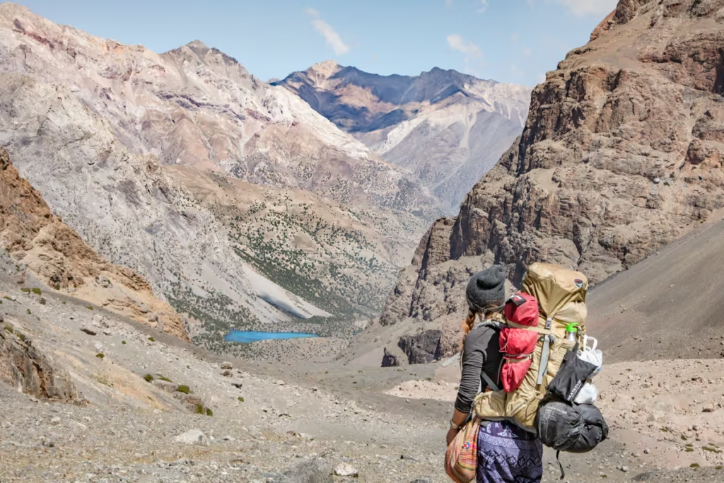
The Lakes Loop is a high-altitude trek, so don’t pack for the warm temperatures you may experience in the valleys. Even in summer, temperatures can drop sharply after sunset and conditions can change quickly around the high passes.
Clothing
- Warm outer shell jacket x1
- Down jacket x1
- Fleece x1
- Long sleeve base layer top x2
- Short sleeve shirts x2
- Trekking pants x1
- Leggings x2
- Trekking socks x2
- Warm socks x1
- Sports bra x2
- Mittons x1
- Warm hat x1
- Sunglasses x1
- Microfiber towel x1
Recommended Gear
- Inreach Explorer
- Backpack (I personally recommend the Osprey Ariel 65 and an attaching daypack)
- Hiking boots (My favorite are the La Sportiva Trango Tech GTX)
- Waterproof sandals
- Katadyn water purifier
- Fann Mountains Map
- Sleeping mat
- 3-season tent
- Hydration Pack
- Sleeping bag cold rated to -5ºC/20ºF
- Campstove and Cooking set
- Silicone squeeze tubes (for cooking with sauces, olive oil, etc.)
- Propane/butane canister (available for purchase at Greenhouse Hostel in Dushanbe)
- Trekking poles
- Headlamp
- Trekking in Tajikistan by Jan Bakker (Written by a friend and includes the Fann Mountains, Yagnob Valley, and Pamir)
Toiletries
- Sunscreen
- Biodegradable shampoo bar
- Biodegradable soap
- Toothbrush
- Biodegradable wipes
- Toilet Paper
- First Aid Kit
- Hand sanitizer
Electronics
- Camera/lenses and necessary accessories
- Battery Bank
- Solar Panel
- Phone and charging cables
Maps
- Fann Mountains Map by EWP (can be ordered direct from EWP as well)
- Southern Tajikistan Map by Gecko Maps
Guide Books
- Trekking in Tajikistan by Jan Bakker & Christine Oriol. You’ll find detailed descriptions of these hikes as well as those in the Pamirs in this book.
- Tajikistan and the High Pamirs by Robert Middleton & Hue Thomas. This is a huge book, but it has so much good info on Tajikistan from history, great-game stories, travel information, and more.
- Bradt Tajikistan by Sophie Ibbotson & Max Lovell-Hoare. The most comprehensive guide to Tajikistan in print.
- Central Asia by Lonely Planet. Though I will say, their newest redesign is almost functionally useless and serves little more than a ‘X reasons to visit Tajikistan’. blog post.
- The Central Asia Phrasebook by Lonely Planet I found this to be a handy item for Tajik, Russian and Kyrgyz phrases, not so much for the Wakhi phrase section.
Food
- Dehydrated meals (you’ll need to stock up before leaving home)
- Trail mix
- Jerky
- Dried fruit and nuts (easily purchased at a bazaar)
- Peanut butter
- Spice packets
- Olive oil for cooking
- Hot sauce (bring from home to jazz up bland food)
- Instant mashed potatoes (so unhealthy, but I love them after a long trekking day)
- Fresh veggies, noodles, bread, rice, and more can be purchased at a bazaar prior to setting out for your trek)
Lakes Loop Tajikistan Practical Information
| Question | Answer |
|---|---|
| Best time | Late June to mid-September |
| Languages | Tajik and Russian |
| Camping | Yes |
| Guide required | No, but recommended for inexperienced trekkers |
| Highest point | 3,860 m |
| Main starting point | Artuch Alplager |
| Navigation | Offline GPS recommended |
| Water | Treat/filter natural water |
| Cash | Bring Tajik somoni |
| Weather | Can change rapidly |
Lakes Loop Elevation: Passes & Lakes
| Location | Elevation |
|---|---|
| Guitan Pass | 2,600 m |
| Kulikalon Lakes | 2,850 m |
| Alovaddin Lakes | 2,800 m |
| Govkhona Pass | 3,180 m |
| Laudden Pass | 3,630 m |
| Alovaddin Pass | 3,860 m |
| Mutnyi Lake | 3,510 m |
Lakes Loop Tajikistan Safety
Altitude
The route reaches around 3,700–3,800 meters. Acclimatize beforehand and watch for headaches, nausea, dizziness, or unusual fatigue. If symptoms worsen, descend.
Weather & Cold
Mountain weather can change quickly, even in summer. Pack warm layers, waterproof clothing, and a proper sleeping bag. Nights at altitude can be freezing.
Navigation
Parts of the trail are poorly marked. Carry offline maps and a GPS track, plus a paper map and compass as backup. Mobile coverage is limited.
Landslides & Earthquakes
Loose rock and landslides are possible, particularly after heavy rain. Earthquakes are also a natural hazard in Tajikistan. Avoid unstable slopes and turn back if conditions deteriorate.
Wildlife
Wildlife is generally not a major concern. You may see marmots and birds of prey, while larger animals tend to avoid people. Don’t feed wildlife.
Travel Insurance
Choose insurance that covers trekking at the Lakes Loop’s maximum altitude, along with emergency medical treatment and evacuation. Check altitude exclusions carefully before your trip.
Why I Love the Lakes Loop, Tajikistan
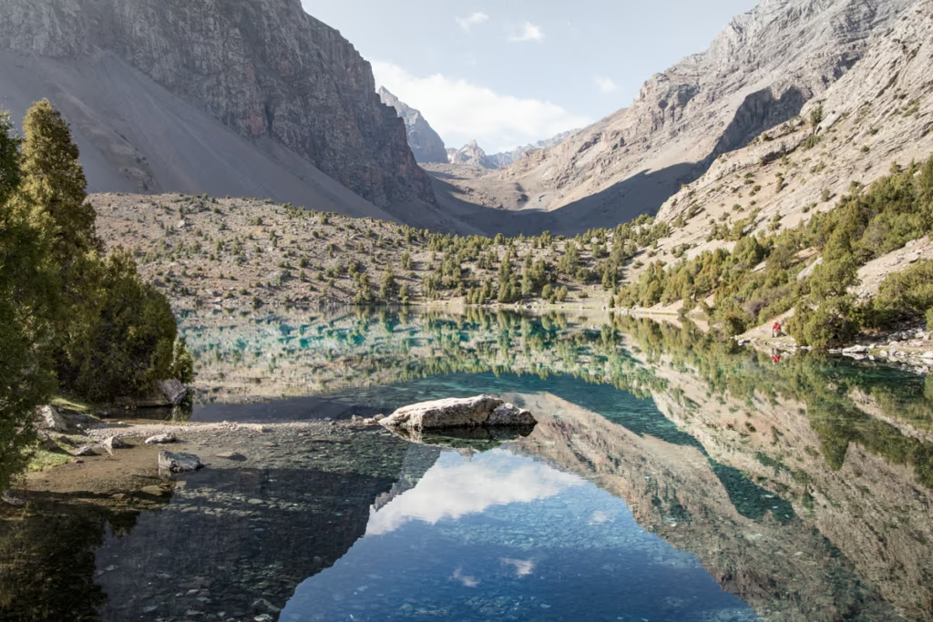
The Lakes Loop is one of my favorite hikes in Tajikistan because it packs so much into a relatively short trek. Turquoise alpine lakes, huge mountain passes, rocky valleys, and quiet campsites make every day feel different. There is something especially satisfying about waking up beside a lake with nothing but mountains around you.
It is also a great introduction to trekking in the Fann Mountains. You get the remote mountain experience without committing to a week-long expedition, although the altitude and terrain should still be taken seriously. If you are looking for a hike that showcases just how spectacular Tajikistan’s mountains can be, the Lakes Loop is an easy one for me to recommend.
Have any quesetions about hiking Tajikistan’s Lakes Loop?
Ask all your Lakes Loop Hiking questions in the comments section below.
Posts from Tajikistan
Shokhdara Valley Travel Guide, Tajikistan
Vorukh: A Guide to Tajikistan’s Enclave
Shir Khan Bandar Border Crossing Guide

Tajik Food: 20+ Traditional Dishes
Qolma Pass: Tajikistan to China Guide

GBAO Permit: How to Get One
Lakes Loop, Tajikistan Hiking Guide
Pik Engles Hike: Tajikistan Trek Guide
Tajikistan Border Crossings Guide
Pamir Highway Guide: M41 Route
Tajikistan Uzbekistan Itinerary: 2 Weeks
Solo Female Travel in Tajikistan
Chimtarga Pass Trek Guide | Tajikistan
Best Hikes in Tajikistan
Dushanbe Day Trips
Solo Female Travel in Central Asia
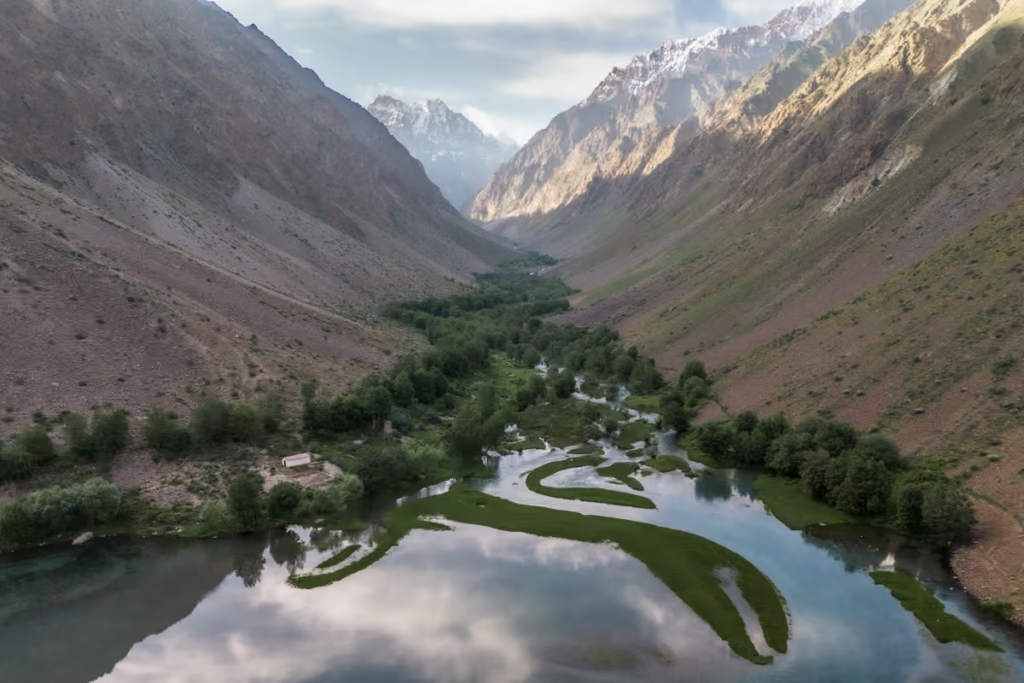
Jizeu, Tajikistan: Trek & Travel Guide
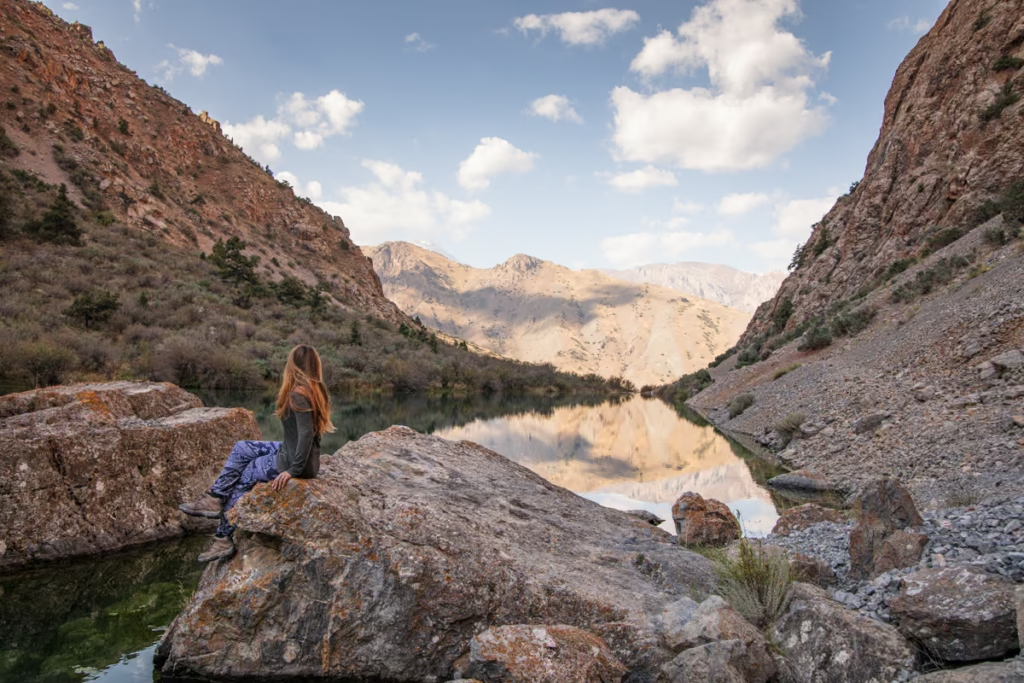
Tajikistan Travel Guide: Plan Your Trip
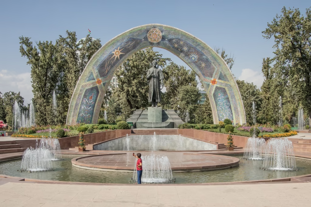
Dushanbe Travel Guide & Things to Do
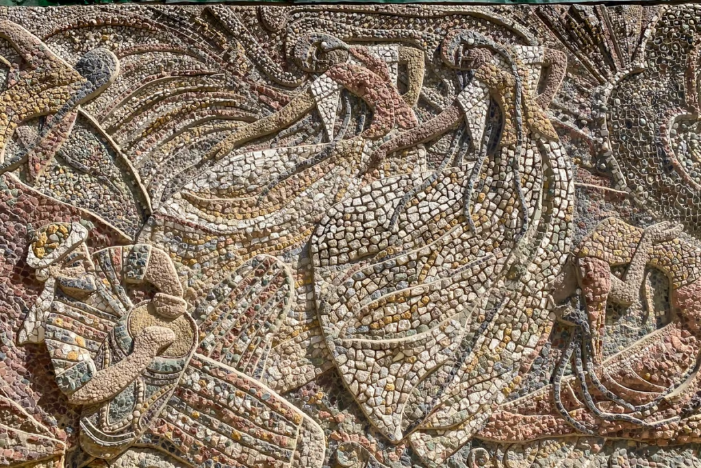
Dushanbe Mosaics: Soviet-Era Art in Tajikistan
2 Week Tajikistan Itinerary
3 Week Tajikistan Itinerary
4 Week Tajikistan Itinerary
10 Day Tajikistan Itinerary
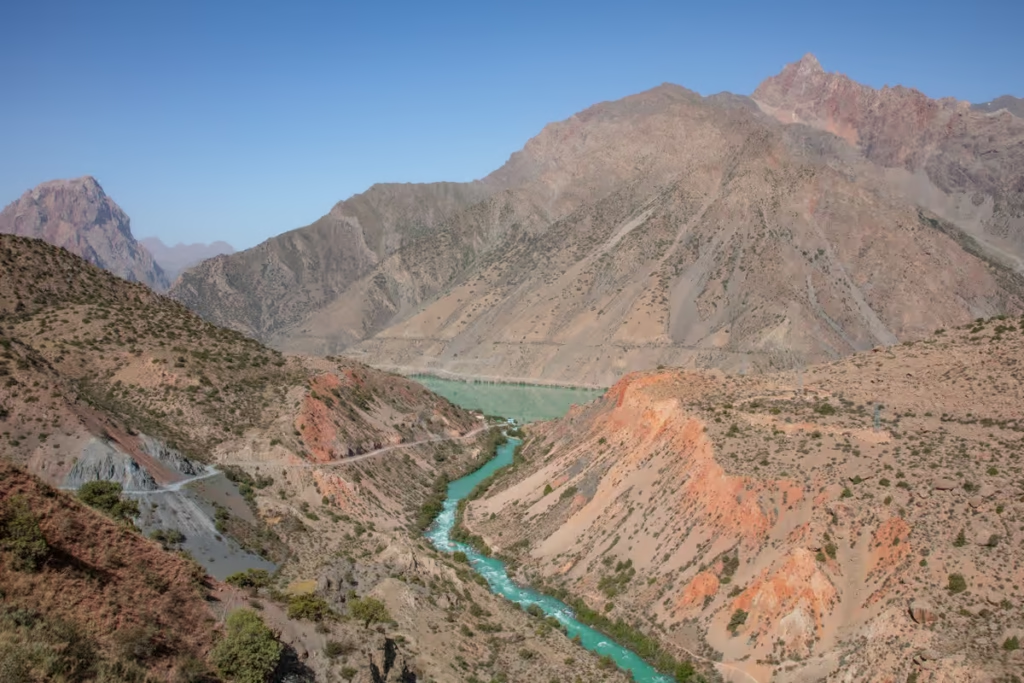
1 Week Tajikistan Itinerary
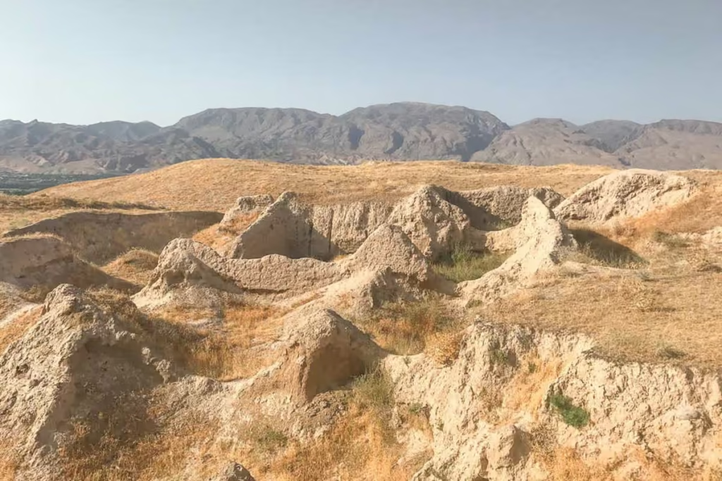
Panjakent Travel Guide: Things to Do

OVIR Registration in Tajikistan: Dushanbe Guide
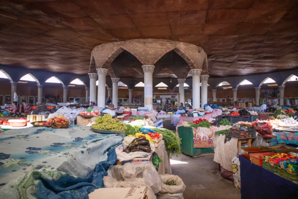
Panjakent-Samarkand Border Crossing Guide
Fann Mountains Trekking Guide
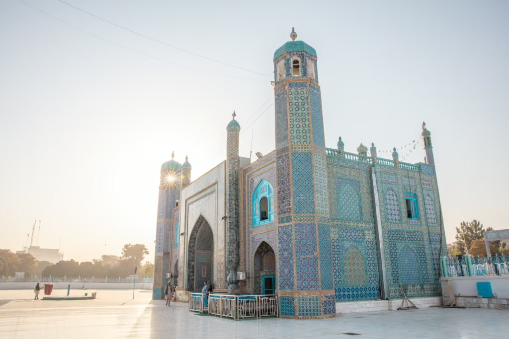
Central Asia Travel Guide
Tajikistan SIM & eSIM Guide
Shurab, Tajikistan: An Almost Forgotten City

Isfara-Batken Border Crossing Guide

Oybek Border Crossing: Tashkent to Khujand
Best Restuarants in Dushanbe | Where to Eat

Isfara Travel Guide, Tajikistan
Pamir Highway Itinerary: 10 Days from Dushanbe to Osh
Haft Kul: A Guide to the Seven Lakes of Tajikistan
Tajikistan Letter of Invitation (LOI)
Jarty Gumbez, Tajikistan: A Complete Travel Guide
How to Use Payment Terminals in Tajikistan

Shor Bulog Observatory, Tajikistan
Visiting Zorkul, Tajikistan
Visiting the Sary Khosar Nature Reserve
A Guide to Rasht Valley, Tajikistan
Soviet Architecture in Khorog

10 Essentials to Pack for Central Asia
The Gardan i Kaftar Hike in Tajikistan’s Rasht Valley
Stalin Statue in Asht, Tajikistan