Pamir Highway Itinerary:
10 Days from Dushanbe to Osh
Updated September 2026, Pamir Highway Itinerary: 10 Days from Dushanbe to Osh was originally published in October 2020.
The Pamir Highway is one of the great road journeys of Central Asia, crossing some of the highest and most remote landscapes in Tajikistan and Kyrgyzstan. But planning a Pamir Highway trip is not as simple as drawing a line between Dushanbe and Osh on a map. The route has multiple detours, high-altitude passes, remote villages, border checkpoints and stretches where transport can be unpredictable.
I’ve traveled the Pamir Highway several times and spent years exploring Tajikistan, including the Wakhan Valley, Bartang Valley and Eastern Pamirs. Based on those trips, I put together this 10-day Pamir Highway itinerary from Dushanbe to Osh via the Tajik Wakhan Valley.
This route packs a lot into 10 days, including a night in Jizeu, the Wakhan Valley, Yamchun Fortress, Bibi Fatima Hot Springs, Khargush Pass, Bulunkul and Yashilkul, the remote Eastern Pamirs, Murghab, Ak Baital Pass, Karakul Lake and the Kyzyl Art Border Crossing into Kyrgyzstan.
If you have more than 10 days, slow down. The Pamirs reward lingering, and several of the detours included here deserve more time. But if you’re working with a tighter schedule, this is the route I’d use to experience as much of the Pamir Highway as possible without simply spending the entire trip sitting in a vehicle.
If you are just starting to plan your Pamir Highway adventure, I recommend you grab a copy of Bradt Tajikistan, and if you plan to take any hikes, Jan Bakker’s Trekking in Tajikistan. For the Kyrgyzstan stretch, get a copy of Bradt’s Kyrgyzstan guidebook.
Note that there is extensive construction still ongoing on the Pamir Highway in 2026. The roadwork is happening between Qala i Khumb and Khorog and is causing major delays, so it’s advisable to plan ahead and ask locally when transport should depart, so as to not get stuck in road closures.
About this itinerary: I’ve traveled the Pamir Highway several times and have spent years traveling independently throughout Tajikistan. This itinerary combines the route I recommend for a 10-day trip with first-hand notes on transportation, homestays, road conditions and the detours I think are worth the extra effort.
Need Travel Insurance and Evacuation Services?
Start shopping for travel insurance plans over at IATI Insurance. Readers of the Adventures of Nicole get a 5% discount off your plan.
The Adventures of Nicole partners with Global Rescue to offer the world’s leading medical evacuation and security advisory services. To travel with peace of mind, explore their evacuation coverage.
Pamir Highway Itinerary at a Glance
| Day | Route | Highlights | Overnight |
|---|---|---|---|
| 1 | Dushanbe → Qala i Khumb | Nurek, Kulob, Shurubod Pass, Panj River | Qala i Khumb |
| 2 | Qala i Khumb → Jizeu | Bartang Valley, Jizeu Trek | Jizeu |
| 3 | Jizeu → Khorog | Jizeu sunrise, Khorog | Khorog |
| 4 | Khorog → Ishkashim | Garm Chashma, Panj River | Ishkashim |
| 5 | Ishkashim → Langar | Qaaqa Fortress, Yamchun, Bibi Fatima, petroglyphs | Langar |
| 6 | Langar → Alichur | Wakhan, Khargush Pass, Bulunkul, Yashilkul | Alichur |
| 7 | Alichur → Jarty Gumbez | Ak Balyk, Shakhty petroglyphs, hot springs | Jarty Gumbez |
| 8 | Jarty Gumbez → Shaimak | Ystyk Valley, Cheshtebe, yurts | Shaimak |
| 9 | Shaimak → Karakul | Murghab, Ak Baital Pass, Karakul Lake | Karakul |
| 10 | Karakul → Osh | Kyzyl Art Pass, Sary Tash | Osh |
Is 10 Days Enough for the Pamir Highway?
Yes, but 10 days is the minimum I’d recommend for this particular route.
This Pamir Highway itinerary is deliberately fast-paced. You’re covering roughly 1,700+ kilometers while adding major detours into the Bartang Valley, Wakhan Valley and Eastern Pamirs. Several days involve six to ten hours of driving, and road conditions can make those estimates optimistic.
If you have 12 to 14 days, I would first add extra time in the Wakhan Valley, then Khorog or the Eastern Pamirs. If you have only 7 days, I’d simplify the route rather than trying to cram this entire itinerary into a week.
And if you have three days? Technically, yes, you can get from Dushanbe to Osh. You absolutely can. I just wouldn’t recommend turning the Pamir Highway into a very expensive three-day fly-by.
Best Time to Travel the Pamir Highway
The best time to travel the Pamir Highway is from mid-June through September, when the high mountain passes are generally accessible and most guesthouses, homestays and transportation options are operating. The exact opening and closing dates vary from year to year because snow and road conditions can linger well into June and return surprisingly early in autumn.
For this 10-day Pamir Highway itinerary, I would aim for late June through early September. July and August offer the most reliable conditions, but June and September can be particularly rewarding if you’re willing to accept a little more uncertainty.
June: Best for Green Valleys and Fewer Travelers
June is the beginning of the Pamir Highway season. Lower valleys are warming up, the landscape around the Panj River is greener, and wildflowers begin appearing at higher elevations. Late June can also be a beautiful time in the Wakhan Valley.
The catch is that high passes can still have snow, particularly early in the month. Conditions around passes such as Ak Baital can change quickly, so don’t build a June itinerary so tightly that one weather delay ruins your entire trip.
Best for: fewer travelers, greener valleys, wildflowers and a quieter experience.
July: The Most Reliable Month
July is probably the best overall month for a first Pamir Highway trip. The high passes are generally open, roads are at their driest, daylight hours are long, and homestays and transportation are operating at their fullest.
It is also peak season, so you’ll encounter more travelers along the route. That’s not necessarily a bad thing on the Pamir Highway. Seeing other 4x4s at a remote junction can be reassuring, and sharing a vehicle can make the journey considerably cheaper.
Just don’t assume that summer means hot weather everywhere. Once you climb above 3,000 or 4,000 meters, temperatures can drop dramatically, particularly after sunset.
Best for: the most reliable road conditions and the easiest logistics.
August: Great Conditions, More Travelers
August is similar to July, with generally dry conditions and open high passes. It is another excellent month for tackling the full Dushanbe-to-Osh route, particularly if you want to combine the Pamir Highway with hiking or other mountain activities.
The downside is that August is firmly in high season. Popular homestays and drivers can fill up, particularly if you’re traveling with a larger group or have a specific itinerary in mind.
Best for: reliable conditions, hiking and travelers who don’t mind peak season.
September: My Pick for Shoulder Season
September is an excellent compromise. The summer crowds begin to thin, temperatures become more comfortable in the lower valleys, and the high Pamirs take on an early-autumn feel. The skies can be beautifully clear, although you should be increasingly aware of the possibility of early snow at high elevations later in the month.
If I were planning my first Pamir Highway itineraryagain and had flexibility with my dates, September would be one of my first choice. You still have a good chance of finding the high route open without dealing with quite as much summer traffic.
Best for: fewer travelers, cooler temperatures and clear skies and autumn colors.
Pamir Highway Travel in the Shoulder Months
April, May, October, and November can be great times to take on a Pamir Highway itinerary, if the occasional storm and cooler temperatures aren’t offputting.
April and May can still bring snow, mud and the occasional closures on the high passes. October and November has the opposite problem: winter can arrive quickly at altitude, and an early snowfall can make a previously passable route challenging.
If you’re traveling outside the main season, build flexibility into your itinerary and check current conditions locally before heading into the Eastern Pamirs.
What About Winter?
After having spent winter in the Pamirs myself, you can, in fact, pull of a Pamir Highway itinerary in the months of December to March. That said, heavy snowfalls can occasionally block the route, so I would budget time in for delays.
One awesome sweet spot I would recommned is to plan a Pamir Highway itinerary around the Nowruz holiday which begins on the first day of spring. The lower elevations of the Pamir will be an electric green, Griffith’s redbud trees will have neon purple blossoms, the opportunity to partake in Nowruz celebrations unique to the Pamir, and chances to sample very traditional Pamiri cuisine.
Pamir Highway Season at a Glance
| Month | Conditions | My take |
|---|---|---|
| May | Snow and mud possible at high elevations | Too early for this itinerary |
| June | Passes opening, increasingly stable | Excellent by late June |
| July | Dry, reliable, peak season | Best for first-time travelers |
| August | Dry, reliable, peak season | Excellent |
| September | Cooler, fewer travelers, early snow possible late month | Excellent, especially early September |
| October | Increasing cold and snow risk | Possible, but unpredictable |
| November-February | Snow, extreme cold and high-pass closures | Avoid for a standard road trip |
| March | Days are warming, nights are still cold, snow possible | Plan for potential delays, but excellent for spring foliage and festivities |
One final warning: don’t treat these dates as a guarantee that every road will be open. The Pamir Highway is a high-altitude road through an environment where conditions can change quickly. Check with your driver, local guesthouse or another traveler coming from the direction you’re headed before setting off, particularly if you’re crossing Khargush Pass, Ak Baital Pass or Kyzyl Art Pass. A little flexibility is worth far more here than sticking rigidly to a spreadsheet.
Permits for the Pamir Highway
There are a few pieces of paperwork to sort out before heading off for your Pamir Highway itinerary, but the process is fairly straightforward once you know what you actually need. For most travelers, the important things are your Tajikistan visa or visa-free entry, GBAO permit, and, if applicable, OVIR registration.
Rules and border procedures can change, particularly in the Pamirs, so check current requirements before your trip.
What Paperwork Do You Need for the Pamir Highway?
For a typical Dushanbe-to-Osh Pamir Highway trip, here are the usual items you may need:
| Document | Do you need it? | Notes |
|---|---|---|
| Tajikistan visa | Depends on nationality | Many nationalities can enter visa-free for up to 30 days, many others are eligble for an eVisa |
| GBAO permit | Yes | Required for travel into the GBAO region (the Pamir). Get your GBAO in advance or with your eVisa |
| OVIR registration | Sometimes | Required visa-free stays over 10 business days; those using the eVisa do not need OVIR registration |
| Passport | Yes | Carry the original |
| Kyrgyzstan visa | Depends on nationality | Check requirements for your passport before crossing |
My biggest piece of advice: sort out your GBAO permit before you start the road trip and don’t leave OVIR registration until the last possible moment if you’re traveling visa-free. Once you’re several days into the Pamirs, bureaucracy becomes considerably less convenient. The mountains are remote enough without adding an administrative side quest.
Pamir Highway Checkpoints
Once you enter GBAO, expect to encounter checkpoints along the route. Keep your:
- Passport
- Tajikistan visa or proof of visa-free entry
- GBAO permit
- OVIR registration, if applicable
together and easily accessible.
The checkpoints are generally routine, but the Pamir Highway runs through sensitive border areas, particularly around the Afghan, Chinese and Kyrgyz borders. Authorities can impose additional restrictions or close areas with little notice, so don’t assume that a permit guarantees access to every road or valley.
Kyzyl Art Border Crossing: Tajikistan to Kyrgyzstan
If you’re following this itinerary from Dushanbe to Osh, you’ll leave Tajikistan at the Kyzyl Art border crossing in the Eastern Pamirs.
The crossing sits on a high-altitude stretch of road between Karakul and Sary-Tash and is the usual overland crossing for travelers completing the Pamir Highway from Tajikistan into Kyrgyzstan.
Before leaving Karakul, make sure your passport, documents and any other required paperwork are in order. Border crossings in Central Asia can close or change procedures without much warning, so confirm that Kyzyl Art is operating before setting out, particularly early or late in the travel season.
Once you cross into Kyrgyzstan, you’ll continue through Sary-Tash toward Osh.
How to Travel the Pamir Highway
For this Pamir Highway itinerary, I recommend hiring a 4×4 with a local driver. This gives you the flexibility to stop for photos, take detours into places like Jizeu and the Wakhan Valley, and avoid relying on infrequent local transport. Shared 4x4s are also a good option if you’re traveling solo or on a budget.
Private 4×4 with Driver
This is the easiest option and what I recommend for a 10-day Pamir Highway itinerary. You can arrange a vehicle in advance through a local operator or find a driver in Dushanbe, Khorog or Osh. Sharing the vehicle with three or four travelers keeps the cost considerably lower.
Shared Taxis
Shared 4x4s and taxis operate along the main Pamir Highway, particularly between Dushanbe, Kalaikhum, Khorog, Murghab and Osh. They are much less predictable for detours such as the Wakhan Valley, Jizeu, Jarty Gumbez and Shaimak, where you’ll likely need to arrange private transport.
Hitchhiking
Hitchhiking is possible, but the detours from the main Pamir Highway aren’t the place to depend on finding a free ride. Vehicles can be sparse. If you hitch, expect to contribute toward fuel, though Kamaz truck drivers will typically refuse any money.
For this itinerary: A shared or private 4×4 is by far the most practical choice. The extra flexibility is especially important because this route includes several detours that aren’t served by regular shared transport.
10 Day Pamir Highway Itinerary
Day 1: Dushanbe to Qala i Khumb
| Distance | Drive time | Overnight | Highlights |
|---|---|---|---|
| 370 kilometers | 9-10 hours | Qala i Khumb | Nurek Reservoir, Kulob, Shurubod Pass, Panj River |
Dushanbe
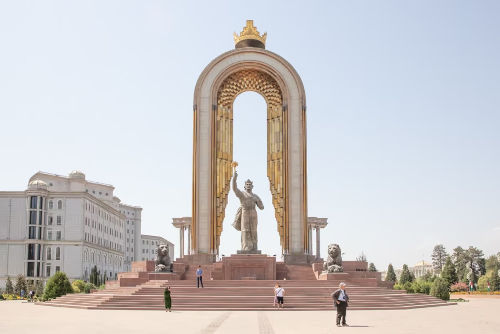
Kick off your Pamir Highway itinerary from the Tajik capital of Dushanbe. I’d recommend giving yourself a couple of days in Dushanbe to catch up on sleep (I know many of you will have had long journeys to get here), and time to check out what the city has to offer.
Looking for more ideas on what to do in Dushanbe? Check out my Dushanbe Travel Guide for ideas and info, select the best places to eat with the Dushanbe Restaurants Guide, and if you’re spending a little more time in the city, use my post on Dushanbe Mosaics to plan an artsy walk before they all disappear.
Where to Stay in Dushanbe
Budget
Hello Hostel Dushanbe
| Booking.com | Agoda.com |
Greenhouse Hostel
| Booking.com | Hotels.com |
Midrange
Atlas Hotel
| Booking.com |
Atlas B&B Hotel
| Booking.com | Agoda.com |
Splurge
Hilton Dushanbe Hotel
| Booking.com | Hotels.com |
Dushanbe Serena Hotel
| Booking.com | Hotels.com |
Hyatt Regency Dushanbe
| Booking.com | Hotels.com |
Get an early start from Dushanbe because today is a long driving day. If you’re planning to do this itinerary using shared taxis (cheaper, though don’t expect many stops aside from a lunch stop), you’ll need to go to the Badakhshanskaya Avtostansiya on Nazarshoev Street (behind the Hilton Hotel).
Most shared taxis depart between 5 am and 9 am. If you’ve arranged a 4WD hire, your driver will likely want to start early, so plan to leave before 8 am.
Nurek
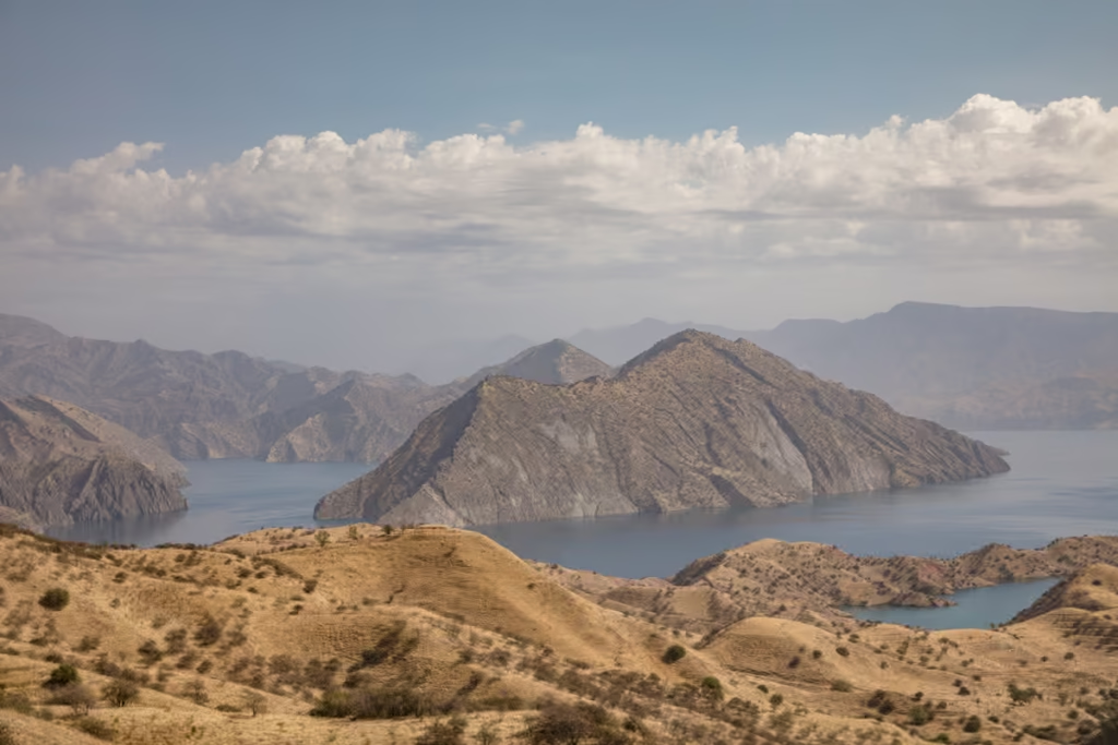
This first leg of the Pamir Highway itinerary is one of the lesser-exciting ones. You’ll first head east out of the city, passing by numerous small suburb-like villages before reaching the massive Nurek Reservoir.
Nurek is worth a quick stop to stretch your legs and to take in the views of the man-made lake. In fall, Nurek is surrounded by hills coated in baked golden hues, but in earlier with summer verdant greens.
Kulob
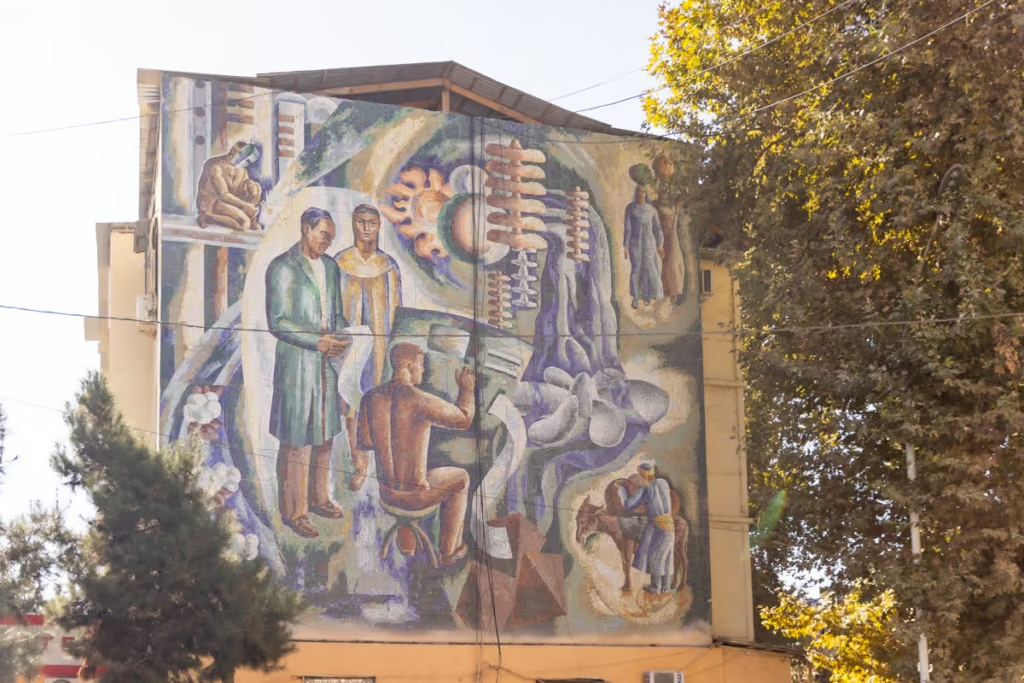
From Nurek the road bends southward through Khatlon Region, passing through Danghara (the hometown of the 7-time president Emomoli Rahmon), before heading to the east again to reach the city of Kulob.
Kulob is a common stopping point for most drivers to break for lunch.
If you’ve hired your own transport, nearby Hulbuk is worthy of a stop to visit the Hulbuk Fortress and the Mir Sayid Ali Hamadani Shrine.
Have more time? Why not check out nearby Sary Khosar Valley and the spires of Childukhtaron
Shurubod Pass
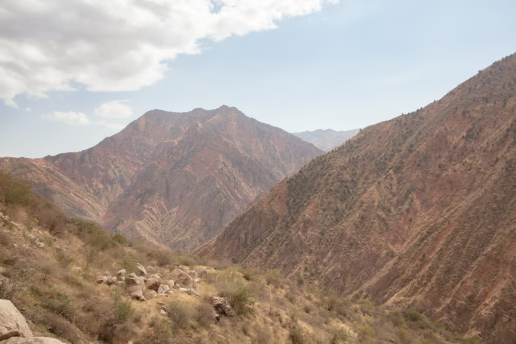
Continuing from Kulob you’ll pass sceneries of rolling hills as you make way for Shurubod Pass.
At the top of Shurubod Pass, you’ll reach your first GBAO checkpoint of many. At these checkpoints, you’ll need to present your passport and GBAO permit. Some drivers will go in and handle this for you, others will have you enter yourself (if you want to apply for a GBAO permit in advance, we can arrange this for you).
If you go inside the checkpoint you’ll likely have to fill out some info on a sheet. Don’t be surprised if the officers manning the checkpoint offer you chai or fruit.
Continuing down from Shurubod, you’ll drive past colorful mountains that finally give way to the Panj River, the natural border between Tajikistan and Afghanistan, giving you views into the neighboring country. This stretch of the drive is quite scenic all the way to Qala i Khumb.
Qala i Khumb
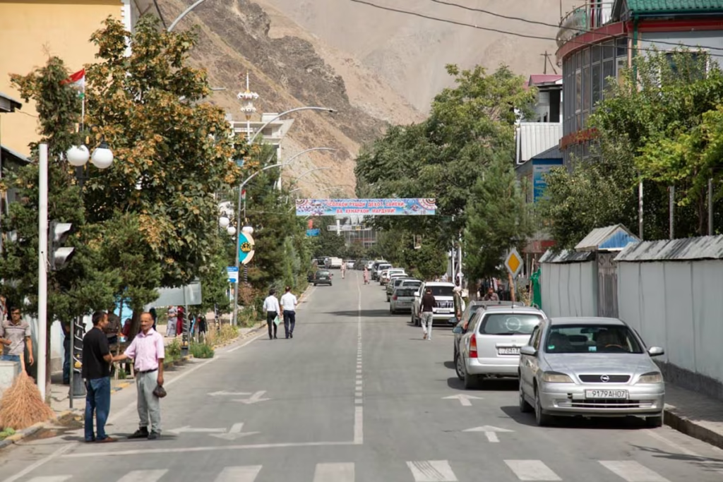
You’ll likely arrive in Qala i Khumb in the late afternoon. It’s a small town, but a wander down the main road is worth the walk, plus the kids around town are quite friendly.
Several families rent out guesthouse rooms to visitors, but if you want something upscale, you could try the Karon Palace Hotel ( booking.com | hotels.com ).
Day 2: Qala i Khumb to Bartang Valley, Hike to Jizeu
| Distance | Drive time | Overnight | Highlights |
|---|---|---|---|
| 200 kilometers | 4 hours | Jizeu | Rushan, Bartang River, Jizeu |
Today, you’ll want to get an early start to take on the roughly 4 or so hour drive to Rushan at the mouth of the Bartang Valley. There are countless adventures to be had in the Bartang Valley (one of my favorite parts of Tajikistan), but for those on a quicker itinerary of the country, a quick overnight trip to Jizeu is in order.
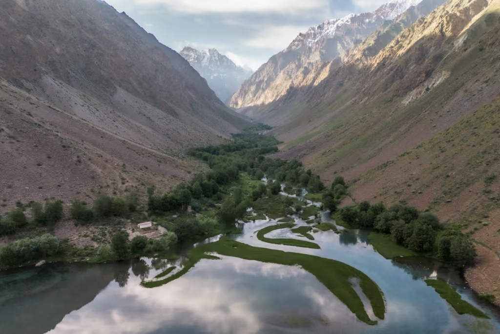
At Rushan you’ll leave the Pamir Highway, taking a turn to the northeast to begin a short 27 kilometer jaunt up the Bartang Highway. Eventually, you’ll arrive at a cable bridge that crosses the Bartang River, this is the start of the trek to Jizeu.
Jizeu Hike
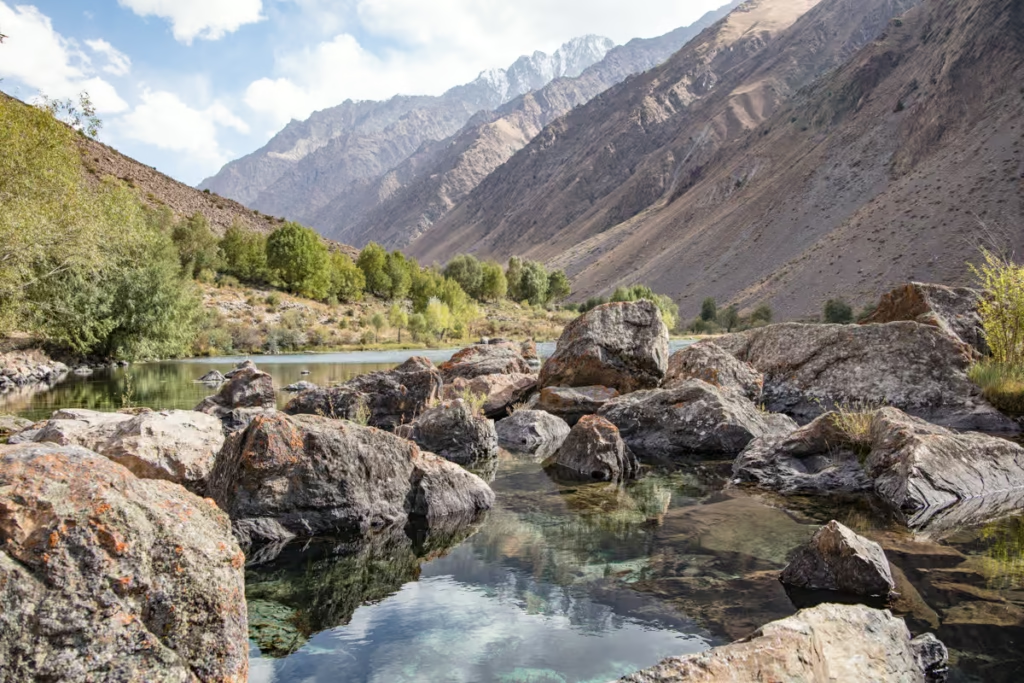
From the bridge, it’s a roughly 5.5 kilometer hike (11 kilometers return) to the beautiful little village of Jizeu. The bridge is at about 2,000 meters elevation and you’ll gain about 500 meters as you trek to the village. It only takes about two hours to reach Jizeu from the bridge, so you could opt to make this into a day trip, but I would recommend spending a night up here.
There are 14 homes around upper and lower Jizeu, 7 of which operate as homestays. I stayed at Homestay Lola, which I can 100% recommend, but surely any of the 7 are wonderful. You can expect a night’s stay with meals to cost about 200 TJS per person.
Read my guide to the Jizeu Trek for more details on the hike.
If you’re planning to do the Pamir Highway by shared transport, I would recommend hiring a 4WD from either Rushan or Khorog to take you to and pick you up from Jizeu as shared transport along the Bartang Highway can be scarce.
Why I include Jizeu: Most 10-day Pamir Highway itineraries rush from Qala i Khumb to Khorog. I prefer spending the night in Jizeu because it breaks up the driving and gives you a chance to experience one of the Pamirs’ remote mountain villages on foot.
Day 3: Jizeu to Khorog
| Distance | Drive time | Overnight | Highlights |
|---|---|---|---|
| 95 kilometers | 3 hours | Khorog | Khorog City Park, Khorog Botanical Garden |
Enjoy sunrise reflections around the beautiful pools of Jizeu before a quick breakfast prior to setting off back down to the bridge. Plan for it to take you about 1.5 hours to return.
Once reunited with your driver, you’ll have a short, roughly three hour drive out to Khorog.
Khorog
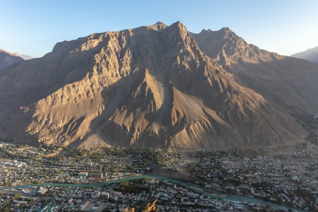
Khorog is the largest city in the GBAO, home to roughly 30,000 people.
Spend the remainder of today exploring the city. A few things not to miss include the Khorog Botanical Garden, which will give you sweeping views over the city and the Gunt River, shopping at the Khorog Bazaar, and relaxing in the shaded Khorog Central Park.
Of course, there are plenty of other things to do in Khorog (I’ve spent a lot of time in Khorog resting between different adventures in the Pamirs over the years).
For lunch, I recommend heading over to Nan Melaan and grabbing either a bowl of kurutob (the Tajik national dish), or osh (known as plov in the remainder of Central Asia- a fried rice dish). If you want something lighter like coffee and snacks Cafe Luni is a great option (I love sitting down with a cappuccino and a sambusa there).
For dinner, if you’re looking for something international, head over to Dehli Darbar for delicious Indian food or try out World Cuisine which serves up a number of dishes from around the world.
Where To Stay In Khorog
Budget
Welcome Inn
|+992 93 703 5393 |
Lal Hotel Dorm
| Booking.com |
Midrange
LAL Hotel
| Booking.com |
Splurge
Serena Inn
| Booking.com | Hotels.com |
Day 4: Khorog to Ishkashim
| Distance | Drive time | Overnight | Highlights |
|---|---|---|---|
| 110 kilometers | 3 hours | Ishkashim | Garm Chashma |
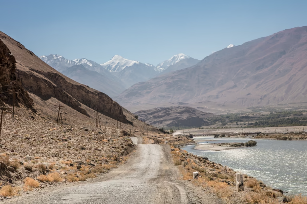
Today you’ll be bound for the Tajik Wakhan Valley. The Wakhan is a culturally fascinating area of Tajikistan and Afghanistan and over into Pakistan that straddles both sides of the Panj and Pamir Rivers.
Some of you may be tempted to change your plans (if you have allotted more time) to cross the border at Ishkashim and head over to explore the Afghan Wakhan.
On the way to Ishakshim, make a stop for a soak in Garm Chashma, a well-known hot spring en route. There are also several spots to meander off from the main road along the way for stunning views from above.
Since today is a shorter day you could opt to go further into the Wakhan to spend the night at one of the many villages along the way, or opt to spend a bit more time in Khorog before taking off toward the Wakhan.
If staying the night in Ishkashim, I recommend Hanis Guesthouse from my own experience.
For those that want to visit the Afghan Wakhan, check out my blog post about the Ishkashim Border Crossing for more info
For all other Tajikistan border crossings with neighboring countries, read my post on Tajik border crossings
Day 5: Wakhan Valley (Ishkashim to Langar)
| Distance | Drive time | Overnight | Highlights |
|---|---|---|---|
| 150 kilometers | 4-5 hours | Langar | Qaaqa Fortress, Yamchun, Bibi Fatima, Vrang Stupa |
This is your day to explore the Wakhan Valley, and quite honestly you could spend a few days digging a little deeper into this area, but it’s more than possible to hit all the highlights in a single day.
Namadgut
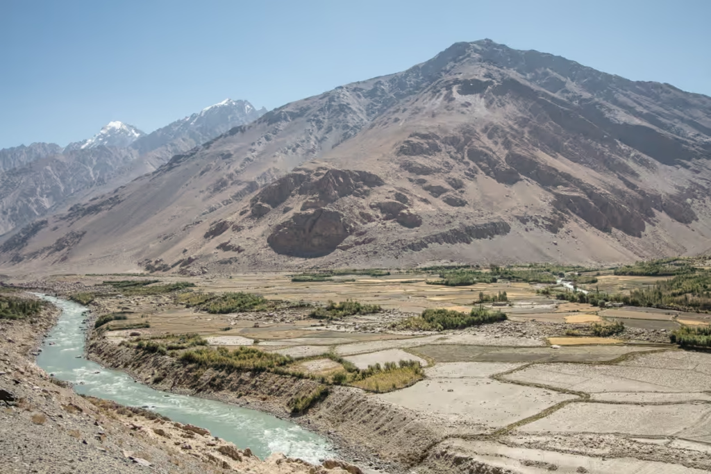
Namadgut is home to Qaaqa Fortress, believed to have been constructed under the Kushan Empire in roughly 2 BC. The fortress ruins are free to visit, but you can typically find young lads who will give you a tour for a small fee. There is also a small museum in Namadgut, entrance is 10 TJS per person.
Yamchun
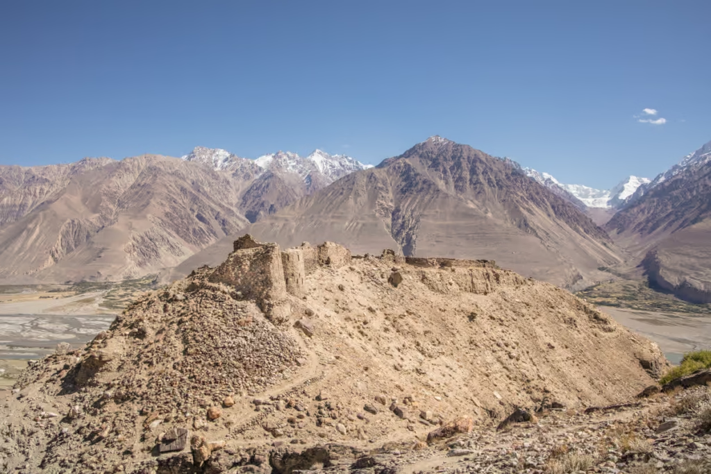
Yamchun is home to two of the Tajik Wakhan’s most well-known sites, Yamchun Fortress and Bibi Fatima Hot Spring that both sit on a mountainside. Yamchun is a Kushan Fortress from the 12th century, though it’s widely believed that parts of the construction date back to the 3rd to 1st century BC.
About a kilometer beyond Yamchun you’ll arrive at Bibi Fatima, a hot spring popular with Tajik woman because it’s believed to boost fertility.
Langar
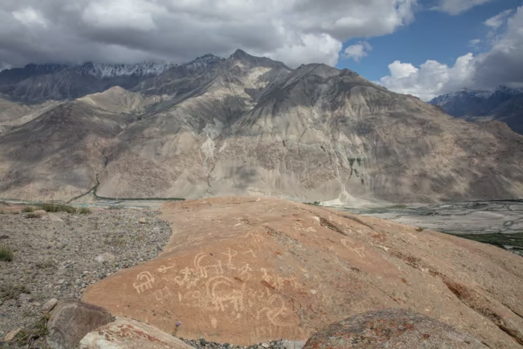
Langar is largely what many consider to be the last village of the Tajik Wakhan Valley (or first, if you’ll be starting from Osh). Don’t miss the Mazar i Shoh Kambari Oftab, the Jamoat Khona, and the petroglyphs. It’s also possible to trek into the Pik Engles Meadows, starting between Langar and Hissor.
Please note that I have only included the top attractions of the Wakhan Valley in this post. For a more thorough itinerary with more information on various sites to visit, please read my Tajik Wakhan Valley Guide.
Day 6: Langar to Alichur via Khargush Pass
| Distance | Drive time | Overnight | Highlights |
|---|---|---|---|
| 125 kilometers | 6 hours | Alichur | Khargush Pass, Bulunkul, Yashilkul |
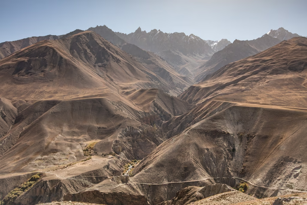
Despite the short distance to cover today, this is a long haul between Langar and Alichur thanks to the arduous Khargush Pass you’ll be crawling over.
From Langar, the road switchbacks up to the village of Ratm where you can take in your last aerial views of the Wakhan before splitting off to follow the Pamir River that slices through the valley that separates the Wakhan Range to the south from the Southern Alichur Range to the north.
The terrain becomes arider as you continue along the valley, which is largely inhabited by ethnic Kyrgyz families.
Eventually, the road takes a turn north to head up into the lunar-like Khargush Pass, descending down to meet the Pamir Highway near Sassykul.
From here it’s worth making a side trip again off the Pamir Highway to visit Bulunkul and Yashilkul, two large lakes in the Pamir, before making the short drive back down to the Pamir Highway to Alichur for the night.
Make sure to roam around Alichur too, it’s merely a scattering of homes along the highway, but there are a mosque and a school.
I’ve found that the kids in Alichur, like many other parts of the Pamir, are very friendly and will be genuinely curious about any visitor, so don’t be surprised if the kids end up joining you on your self-guided tour of the town.
A number of families operate homestays in Alichur, just look for signs outside that say ‘столовая’ or ‘homestay’.
I’ve stayed at Rahima Doronshoeva Homestay (+992 908482612 or +992 931065658) in the past and can recommend it. It’s pretty rustic and simple, meals are provided and they even have a shower (though it’s more of just a tank of water heated by fire that you can splash over yourself).
If you opt to stay outside Alichur but make a stop there, there is a decent cafe in town that’s popular with all the truckers that pass through where you can usually get a decent plov or shorbo.
Day 7: Alichur to Jarty Gumbez
| Distance | Drive time | Overnight | Highlights |
|---|---|---|---|
| 150 kilometers | 6 hours | Jarty Gumbez | Shor Bulog Observatory, Shakhty Petroglyphs, Jarty Gumbez hot spring |
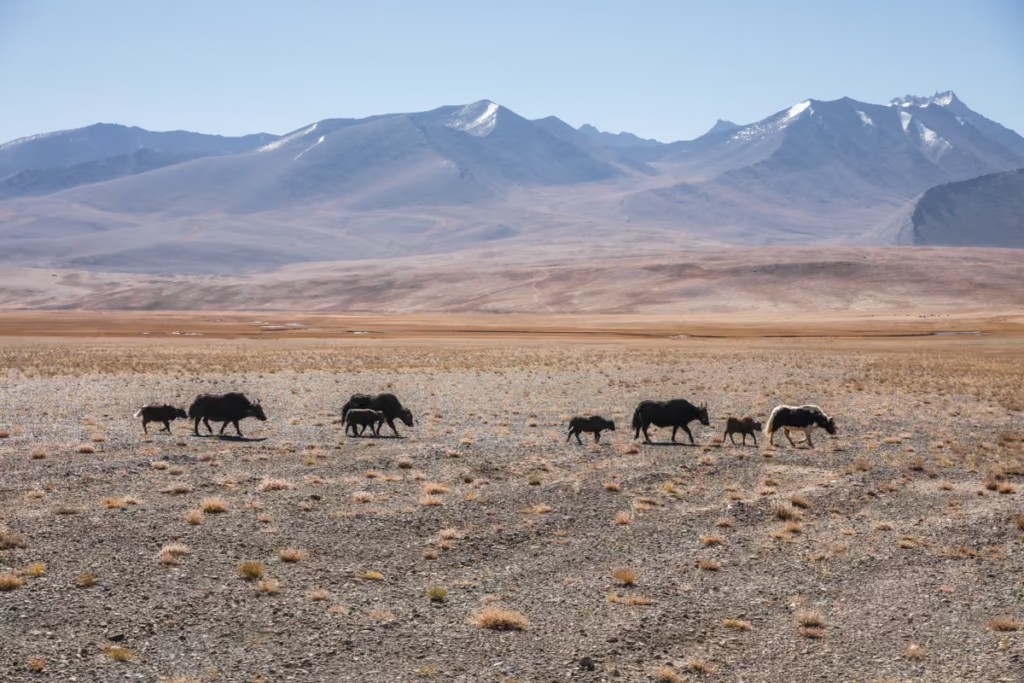
In the morning you’ll set off on the Pamir Highway eastward. Make sure and stop off at Ak Balyk, just a few kilometers out of Alichur to snap a few photos of the beautiful sacred Ak Balyk Spring.
Eventually, where the Pamir Highway takes a bend north, you’ll exit the road, following a set of jeep tracks toward Jarty Gumbez. About 10 kilometers off the road along the jeep tracks, you can make the short 10 minute hike up to a cave to see the Shakhty Pertoglyphs.
Veering a few kilometers to the east from the tracks near this point can take you to visit the Shor Bulag Observatory.
Continuing along the main tracks southward you’ll eventually reach Jarty Gumbez, a popular Marco Polo sheep hunting camp and hot spring.
The family who runs the hunting camp is incredibly welcoming. A night in one of their rooms at the camp will cost about $35 US including all meals. In the late afternoon, I recommend continuing a bit south in the car along tracks toward the Afghan border near Bendersky Pass, keeping an eye out for Marco Polo sheep and ibex.
Day 8: Jarty Gumbez to Shaimak
| Distance | Drive time | Overnight | Highlights |
|---|---|---|---|
| 250 kilometers | 10 hours | Shaimak | Cheshtebe, Shaimak |
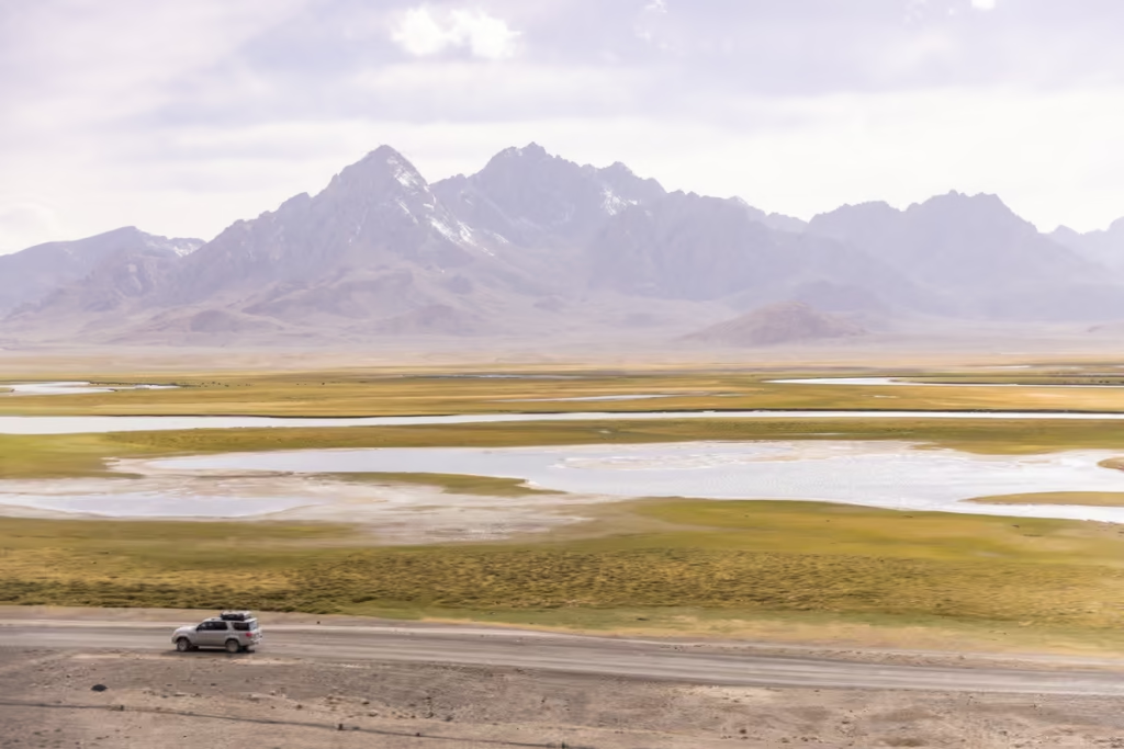
In the morning leave Jarty Gumbez headed north, following the Ystyk River. The river eventually bends to the northeast, so continue to follow its course to reach the dusty village of Cheshtebe.
Cheshtebe is incredibly remote, often windy, and quite barren, and home to a handful of kind families who will likely invite you in for a cup of chai.
You’ll spend the remainder of today bumping along tracks to reach Shaimak, passing family yurts en route to Shaimak. Shaimak will be your final stopping point for the night, a fascinating place with an end-of-the-world vibe to it.
Shaimak was a strategic point during the Great Game when the Russian Empire and British were vying for power in South and Central Asia in the 19th century.
Day 9: Shaimak to Karakul via Ak Baital Pass
| Distance | Drive time | Overnight | Highlights |
|---|---|---|---|
| 230 kilometers | 7 hours | Karakul | Ak Suu Valley, Murghab Bazaar, Ak Baital Pass, Karakul |
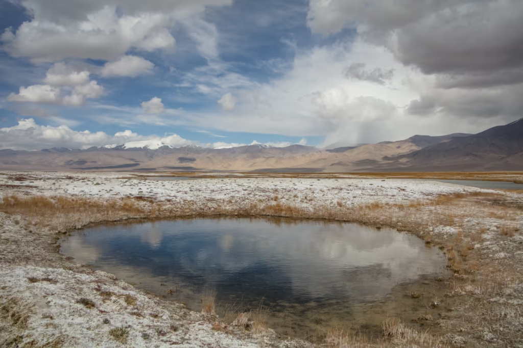
Today is another long drive day, following the Ak Suu Valley north to Murghab. En-route make sure to stop in the village of Toktymush and at the tombs of Kanya Kurgan.
Don’t be surprised if you run into Tajik officers, most likely between Tokymush and Kanya Kurgan who will tell you that the road to Shaimak is closed and may try to extort a bribe (usually about the equivalent of $10 USD).
Murghab will be a good breaking point for lunch. There’s not a lot to Murghab, it’s more or less a large scattering of white-washed, blue-trimmed buildings set in one of the most inhospitable places on earth- life at 3,600 meters isn’t easy.
It’s high, dry, and incredibly arid. Before you leave, make a stop to visit the Murghab Bazaar, most of which is housed in various shipping containers. For those that have an extra day, they want to allot to the Eastern Pamir, check out doing the Gumbezkul Pass trek from Pshart Valley and to Madiyan Valley with the possibility of continuing on the Madiyan Valley Hot Springs.
North from Murghab, you’ll pass Pshart Valley which offers some great trekking opportunities if you have a day or two to spare.
From here the Pamir Highway climbs upward topping out on Ak Baital Pass at a whopping 4,655 meters. Keep your eyes peeled for Marco Polo sheep and Ibex on the mountainsides as you climb up into and descend from the pass to Karakul.
Use your last bit of daylight here to explore the massive Karakul Lake and the twilight zone-esque village at its shores. Several families operate homestays in Karakul, I’ve stayed at Tildakhan Homestay (+992 906554831) in the past and recommend a night there.
If you end up tacking some extra time on to your itinerary and spend it around Karakul, check out the South Aral Peak hike.
Day 10: Karakul to Osh via Kyzyl Art Pass
| Distance | Drive time | Overnight | Highlights |
|---|---|---|---|
| 283 kilometers | 10 hours | Osh | Kyzyl Art Pass, Say Tash, Taldyk Pass |
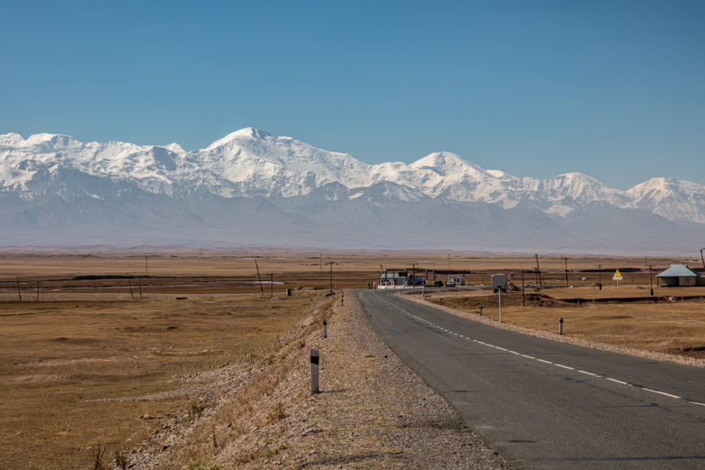
This is the final stretch of the Pamir Highway itinerary guys, though this is a long day that can be easily be split into two, or more if you’d like to take some time to explore the area around Sary Tash.
From Karakul, you’ll begin gaining elevation again as you approach Kyzyl Art Pass, the border crossing into Kyrgyzstan. Definitely make a few stops as you climb upward for stunning morning views of the Pamir Mountains and Karakul in the morning sun.
In my experience, the border crossing procedures here at Kyzyl Art have always been quick and painless, though on occasion I’ve heard stories of travelers facing bribery.
Once through, you’ll drive through a long 60 kilometer stretch of no-man’s-land between Tajikistan and Kyrgyzstan with spectacular views of colorful mountains and tumbling glaciers on either side of the road.
At the bottom of the pass, you’ll reach Bordobo, the Kyrgyz side of the border. In my experience, the Kyrgyz side has always been fast and easy.
Beyond Bordobo you’ll reach the town of Sary Mogul where you can pop into a cafe to grab some snacks. The cafe usually will take Tajik Somoni as payment and give you change back in Kyrgyz Som, sometimes if they have enough for it, they can exchange some money for you.
Some of you may opt to stay in Sary Tash or nearby Sary Mogul for the night and continue to Osh in the morning.
Heading north from Sary Tash the drive has always felt long and hot as you’ve descended quite a bit down from the crazy elevations 4,655 Ak Baital and 4,335 Kyzyl Art Pass along the Tajik Pamir Highway. You’ll cross one more pass, Taldyk Pass that feels low in comparison at a measly 3,615 meters.
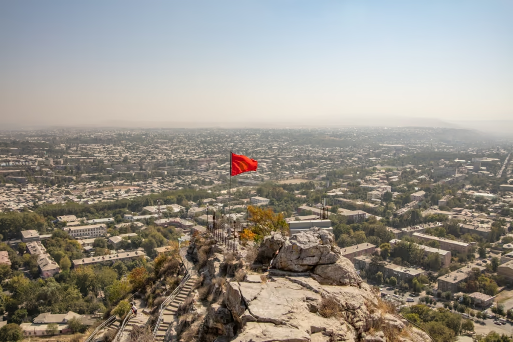
Arriving in Osh has always felt bizarre to me coming from the Pamir. It’s hot, frenetic, and flat in comparison, but yet a welcome change.
Surely you’ll have a bit of time here in Osh prior to heading off onto other Central Asian adventures or catching your flight back home. If you do have a bit of time to explore, check out my quick travel guide to Osh for ideas.
Where To Sleep In Osh
Budget
Navi Hostel
| Booking.com |
Midrange
Silk Way Boutique Hotel
| Booking.com | Hotels.com |
Splurge
Jannat Resort Osh
| Booking.com | Agoda.com |
How Much Does a Pamir Highway Itinerary Cost?
Pamir Highway Budget for 10 Days
| Travel style | Approx. daily cost | Best for |
|---|---|---|
| Shared taxis | $35-45 | Budget travelers |
| Private 4×4 solo | $200+ | Flexibility |
| Private 4×4 for 4 | $75-100/person | Best overall option |
Pamir Highway Altitude and Acclimatization
| Place | Approx. elevation |
|---|---|
| Dushanbe | ~800 m |
| Qala i Khumb | ~1,300 m |
| Khorog | ~2,200 m |
| Ishkashim | ~2,500 m |
| Langar | ~3,000 m |
| Alichur | ~3,900 m |
| Murghab | ~3,600 m |
| Karakul | ~3,900 m |
| Ak Baital Pass | 4,655 m |
| Kyzyl Art Pass | 4,280 m |
Important Info for the Pamir Highway
- Several locations, especially once you reach the Eastern Pamir are at high elevations (Alichur, Khargush Pass, Murghab, Jarty Gumbez, Shaimak, Ak Baital Pass, Karakul, Kyzyl Art Pass). Care should be taken to acclimatize, but know that some people can’t handle the altitude gains in this itinerary. Signs of altitude sickness include headache, dizziness, loss of appetite, and tiredness. For some travelers, you may need to head to lower elevations at night time especially.
- There generally are not any ATMs in the Pamirs. I know for a fact that Qala i Khumb and Khorog have ATMs that take foreign cards, Ishkashim has an ATM but I am unsure if it accepts foreign cards. Murghab still does not have an ATM (rumor is they can run a debit card behind the counter inside). Stocking up on cash in Osh, Dushanbe, Qala i Khumb, or Khorog is advisable.
- The true M41 does not go south from Dushanbe to Kulob and to Qala i Khumb, this section is commonly referred to as the ‘Southern Route’. The true M41 runs along what we call the ‘Northern Route’, which is Dushanbe to Tavildara and over Sagirdash Pass and down to Qala i Khumb.
Why the Pamir Highway is a Must
The Pamir Highway is one of those journeys where the road itself becomes the destination. Over the course of this 10 day Pamir Highway itinerary, you’ll go from the leafy streets of Dushanbe to the Panj River and the Afghan border, through the ancient villages of the Wakhan Valley and into the stark, high-altitude landscapes of the Eastern Pamirs before descending toward Osh.
This Pamir Highway itinerary moves quickly, and I wouldn’t pretend otherwise. There are long driving days, rough roads, unpredictable conditions and stretches where the nearest ATM, restaurant or mechanic is very far away. But that’s also what makes traveling through the Pamirs so rewarding.
If you have more time, use it. Add another night in the Wakhan, linger in Khorog, hike deeper into the Bartang Valley or spend a few days exploring the Eastern Pamirs. The 10-day route is a framework, not a finish line.
After returning to Tajikistan again and again, I still find myself looking at the map and thinking, “What’s down that road?” That’s probably the best reason to leave a little room in your itinerary.
The Pamir Highway isn’t an easy road trip. It is, however, one of the most memorable ones I’ve ever taken.
Have any questions about this 10 day Pamir Highway itinerary?
Ask in the comments section below.
Posts from Tajikistan & Kyrgyzstan
Shokhdara Valley Travel Guide, Tajikistan
Vorukh: A Guide to Tajikistan’s Enclave
Tajik Food: 20+ Traditional Dishes
Shir Khan Bandar Border Crossing Guide
Qolma Pass: Tajikistan to China Guide
GBAO Permit: How to Get One
Lakes Loop, Tajikistan Hiking Guide
Pik Engles Hike: Tajikistan Trek Guide
Pamir Highway Guide: M41 Route
Tajikistan Border Crossings Guide
Tajikistan Uzbekistan Itinerary: 2 Weeks
Solo Female Travel in Tajikistan
Chimtarga Pass Trek Guide | Tajikistan
Jeti Oguz Travel Guide, Kyrgyzstan
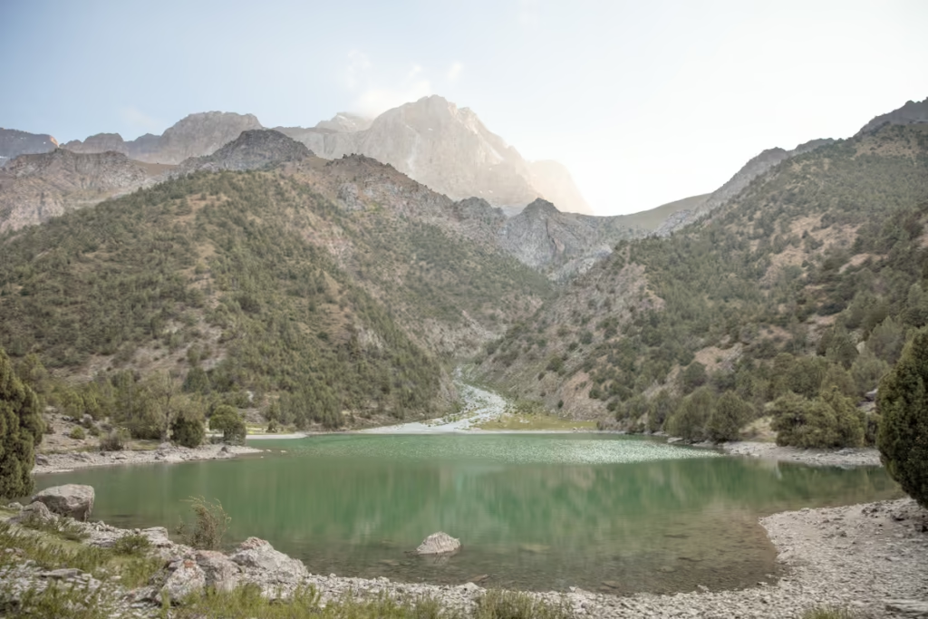
Best Hikes in Tajikistan
Dushanbe Day Trips
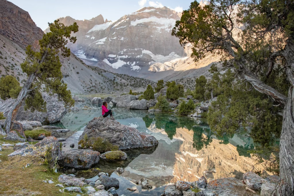
Solo Female Travel in Central Asia
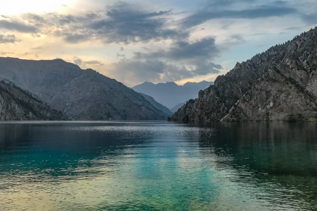
How to Get to Sary Chelek, Kyrgyzstan
Jizeu, Tajikistan: Trek & Travel Guide
Kyrgyzstan Photos: 34 Epic Travel Photos
Tajikistan Travel Guide: Plan Your Trip
Osh Kyrgyzstan: 6 Things to Do
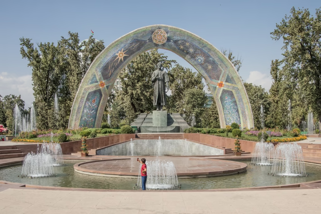
Dushanbe Travel Guide & Things to Do
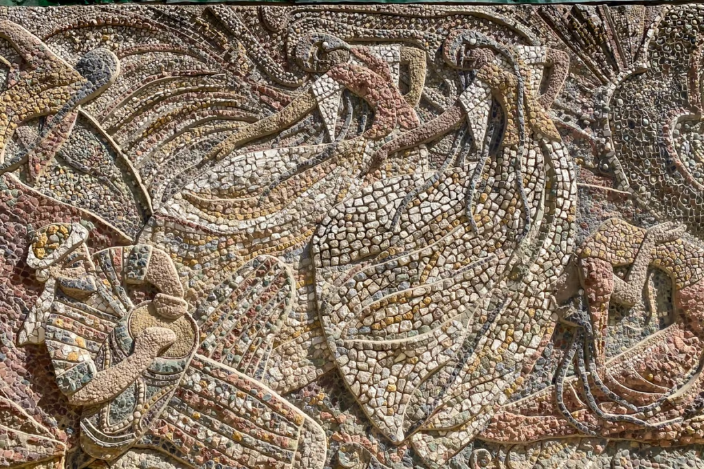
Dushanbe Mosaics: Soviet-Era Art in Tajikistan
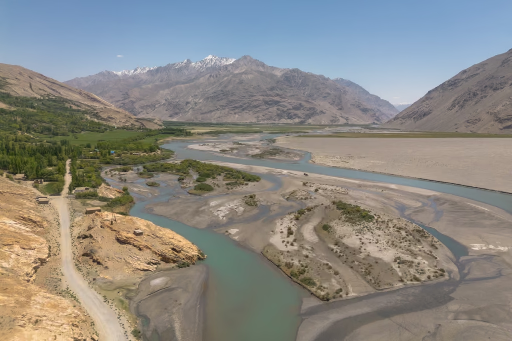
2 Week Tajikistan Itinerary
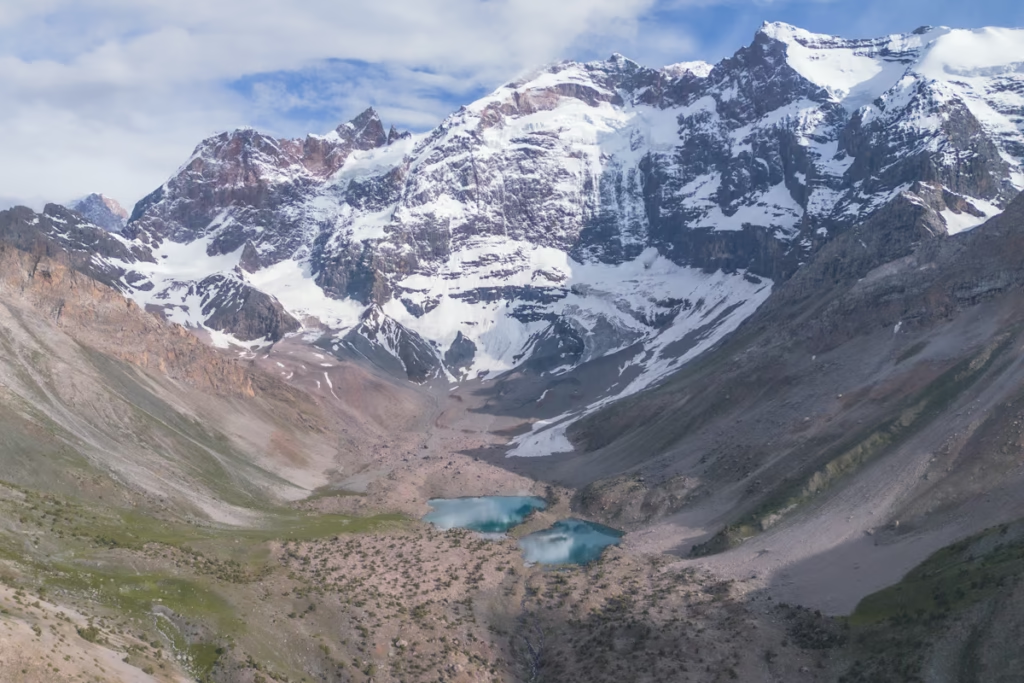
3 Week Tajikistan Itinerary
4 Week Tajikistan Itinerary
10 Day Tajikistan Itinerary
1 Week Tajikistan Itinerary
Panjakent Travel Guide: Things to Do

OVIR Registration in Tajikistan: Dushanbe Guide
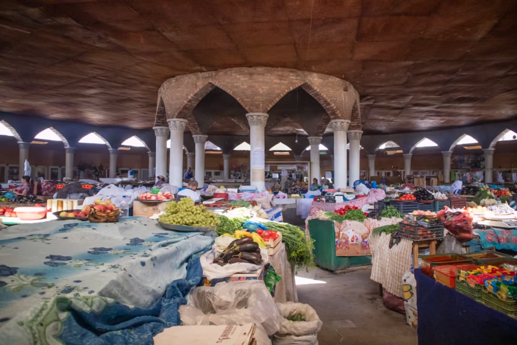
Panjakent-Samarkand Border Crossing Guide
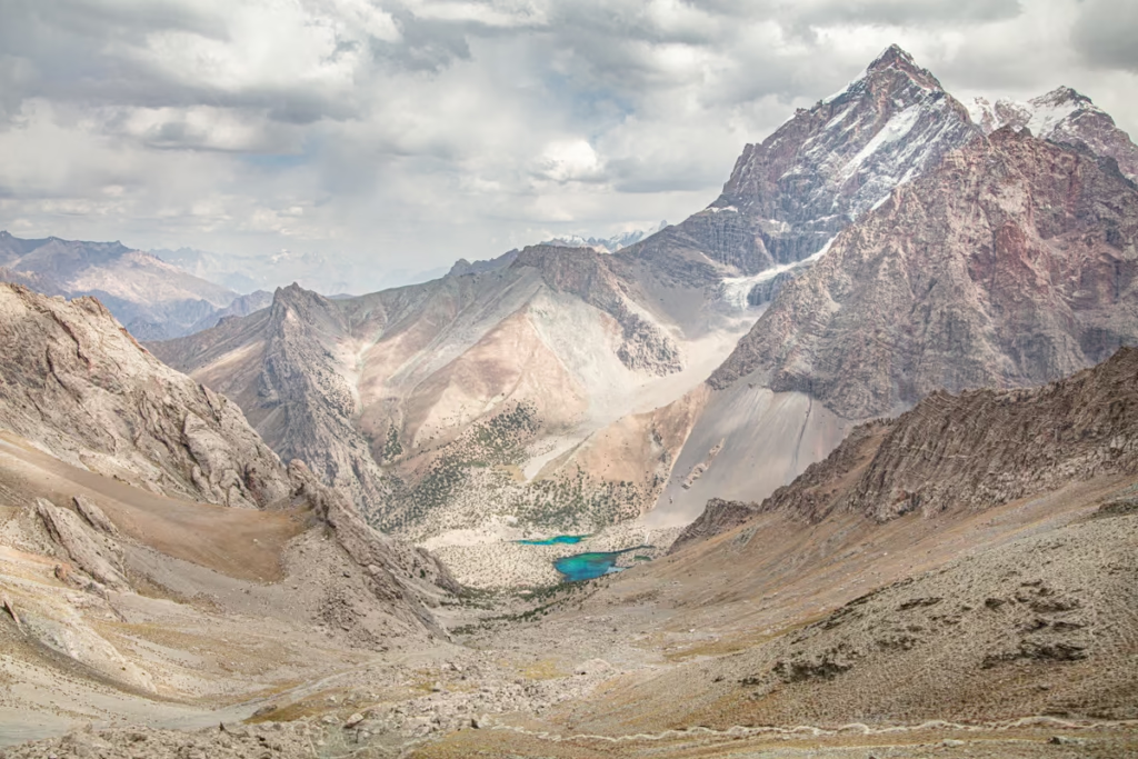
Fann Mountains Trekking Guide
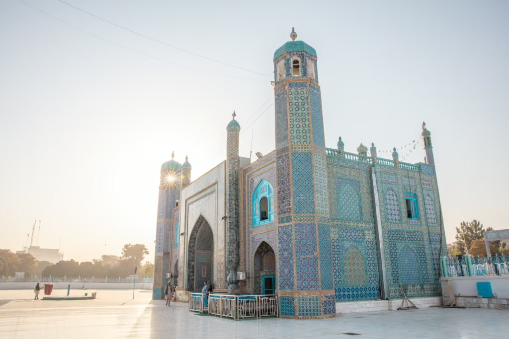
Central Asia Travel Guide
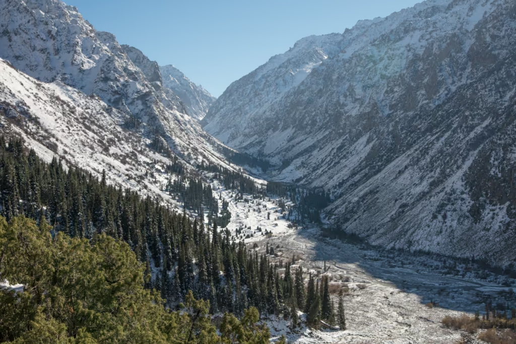
Ala Archa from Bishkek: Bus & Guide
Tajikistan SIM & eSIM Guide
Shurab, Tajikistan: An Almost Forgotten City

Isfara-Batken Border Crossing Guide

Oybek Border Crossing: Tashkent to Khujand
Best Restuarants in Dushanbe | Where to Eat
Isfara Travel Guide, Tajikistan
Pamir Highway Itinerary: 10 Days from Dushanbe to Osh
Haft Kul: A Guide to the Seven Lakes of Tajikistan
Tajikistan Letter of Invitation (LOI)
Kyrgyzstan Border Zone Permit: $40 Service
Kazakhstan & Kyrgyzstan Itinerary
Karakol Restaurants & Best Food to Try
Karkara Border Crossing Between Kazakhstan & Kyrgyzstan
Jarty Gumbez, Tajikistan: A Complete Travel Guide