
Pamir Highway Guide:
Driving the M41 from Dushanbe to Osh
Updated October 2026, Pamir Highway Guide: Driving the M41 from Dushanbe to Osh was originally published in January 2017
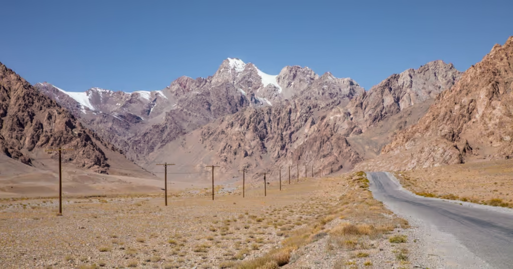
The Pamir Highway, also known as the M41, is one of Central Asia’s legendary road journeys. It crosses the high Pamir Mountains of Tajikistan before continuing into Kyrgyzstan, passing remote valleys, high-altitude plateaus, enormous mountain passes and villages where the road can feel like the only connection to the outside world.
I’ve traveled the full Dushanbe to Osh Pamir Highway route countless times at this point, along with many individual sections several more times. I’ve also explored numerous side routes throughout the Pamirs, so this guide is based on years of traveling in the region rather than a single road trip.
This guide focuses on the traditional Pamir Highway route along the M41. It does not attempt to cover every popular detour, such as the Wakhan Valley, Bartang Valley, or Shokhdara Valley. I’ve written separate guides for those routes, and my 10-day Pamir Highway itinerary combines the highway with several of these detours if you’re looking for a ready-made route.
In this guide, I’ll cover how to travel the Pamir Highway, the route from Dushanbe to Osh, permits and border crossings, costs, road conditions, altitude, safety, packing and the major stops along the way.
Note that there is extensive construction still ongoing on the Pamir Highway in 2026. The roadwork is happening between Qala i Khumb and Khorog and is causing major delays, so it’s advisable to plan ahead and ask locally when transport should depart, so as to not get stuck in road closures.
Wanna go to Tajikistan? Start here- The Tajikistan Travel Guide
Grab a copy of the Bradt Tajikistan guidebook to kickstart your travel planning
Need Travel Insurance and Evacuation Services?
Start shopping for travel insurance plans over at IATI Insurance. Readers of the Adventures of Nicole get a 5% discount off your plan.
The Adventures of Nicole partners with Global Rescue to offer the world’s leading medical evacuation and security advisory services. To travel with peace of mind, explore their evacuation coverage.
- Pamir Highway at a Glance
- What Is the Pamir Highway?
- Dushanbe to Osh or Osh to Dushanbe?
- Pamir Highway Route: Dushanbe to Osh
- How Many Days Do You Need for the Pamir Highway?
- Best Time to Travel the Pamir Highway
- Dushanbe to Qala i Khumb: Southern vs Northern Route
- How to Travel the Pamir Highway
- Pamir Highway Permits
- Pamir Highway Altitude and Acclimatization
- Money and ATMs on the Pamir Highway
- How Much Does the Pamir Highway Cost?
- Pamir Highway Stops
- A Weird Thing About Time In Eastern Tajikistan
- Pamir Highway Budget
- Pamir Highway Tours & Guides
- Pamir Highway Packing List
- Is the Pamir Highway Safe?
- Should You Book a Pamir Highway Tour?
- Why I Love the Pamir Highway
Pamir Highway at a Glance
| Route | Dushanbe → Khorog → Murghab → Karakul → Osh |
| Road | M41 / Pamir Highway |
| Distance | Approximately 1,200+ km, depending on the exact route |
| Highest point | Ak-Baital Pass, 4,655 m |
| Countries | Tajikistan and Kyrgyzstan |
| Best time | June to September |
| Main permit | GBAO permit |
| Recommended vehicle | 4×4 with a local driver |
| Trip length | 5-7 days minimum, longer if adding detours |
| Main border crossing | Kyzyl Art |
What Is the Pamir Highway?
The Pamir Highway is the common name for the M41, a Soviet-era road network crossing the Pamir Mountains of Central Asia. The route is generally associated with the Dushanbe-to-Osh journey through Tajikistan and Kyrgyzstan, although the exact beginning and end points of the M41 are disputed depending on the source.
For travelers, “Pamir Highway” usually means the overland journey between Dushanbe and Osh, passing through the Gunt Valley beyond Khorog, passing through Alichur, Murghab, and Karakul before crossing into Kyrgyzstan.
The argued endpoints of the Pamir Highway are Mazar e Sharif, Afghanistan and Osh, Kyrgyzstan. If considering this route, one must depart Mazar e Sharif and over the Termez-Hairatan border crossing into Uzbekistan before turning east at the town of Denau to enter Tajikistan at the Denau-Dushanbe border crossing.
One important distinction: Not every road trip through the Pamirs is technically the M41. The Wakhan Valley, Bartang Valley and Shokhdara Valley are popular Pamir detours, but they aren’t the traditional Pamir Highway route covered in this guide.
Dushanbe to Osh or Osh to Dushanbe?
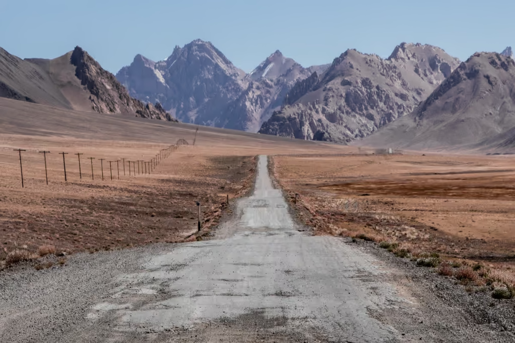
Long story short: Both directions work, but I prefer traveling from Dushanbe to Osh.
Ultimately this is up to where you want to start and end and how comfortable you are with high altitude travel. The highest point you will pass on the Pamir Highway is 4,655 meters at Ak Baital Pass.
Many people find flying into Bishkek or Osh from their home country to be much cheaper (for me the prices to Dushanbe are always nearly the same) and will start from Osh.
Others will start from Osh and make a clockwise road trip through Tajikistan (first heading into northwest Tajikistan, visiting Khujand, the Fann Mountains, and finally onto Dushanbe and will come back to Osh via the Pamir Highway, while others will take this approach in a counter-clockwise direction.
If you are sensitive to high altitudes, the better route to take is from Dushanbe to Osh, as you will work your way higher as the trip continues. That said, this can be easily mitigated for those beginning in Osh by spending some time aclimitizing in Kyrgyzstan before the Pamir Highway.
Price-wise costs will likely be nearly the same, so decide what route works best for your travel plans and go with it.
Pamir Highway Route: Dushanbe to Osh
Traditional Pamir Highway Route
Dushanbe → Qala i Khumb → Khorog → Murghab → Karakul → Kyzyl Art → Sary Tash → Osh
| Section | Approx. time |
|---|---|
| Dushanbe → Qala i Khumb | 1 day |
| Qala i Khumb → Khorog | 1 day |
| Khorog → Murghab | 1-2 days |
| Murghab → Karakul | 1 day |
| Karakul → Osh | 1 day |
How Many Days Do You Need for the Pamir Highway?
3-4 Days: Possible, but very rushed.
5-7 Days: Good for the traditional highway.
7-10 Days: Better pace and some stops.
10+ Days: Best if adding detours.
Looking for a specific 10-day route? See my 10 day Pamir Highway itinerary, which adds the Wakhan Valley and several Eastern Pamir detours.
Best Time to Travel the Pamir Highway
March: Spring begins to emerge, Nowruz in the Pamir can be particularly interesting
April-May: Spring continues to unfold, very green. Rains and landslides possible
June: shoulder season, some snow possible
July-August: most reliable
September: excellent shoulder season, but increasing weather risk
October-Febraury: generally cold and snowy, travel over high passes can be difficult. Road closures possible
Dushanbe to Qala i Khumb: Southern vs Northern Route
There are actually two ways along Pamir Highway is how to get from Dushanbe to Qala i Khumb: the southern route through Kulob or the northern route through Tavildara and Khaburabot Pass.
Both eventually connect at Qala i Khumb, but they’re very different drives.
If you’re a purist and want to stick to the true M41, then you would take the Northern Route. The road conditions are harrowing in some stretches of the Northern Route, which is why almost all travelers along the Pamir Highway take the Southern Route.
If you have the time, I recommend taking the Northern Route via Khaburabot Pass, particularly when conditions are good. The mountain scenery is spectacular, and it gets you into the highlands almost immediately.
Southern Route via Kulob
The southern route is the more straightforward option, following the main road from Dushanbe through Danghara, Kulob, and over Shurubod Pass, onward to Qala i Khumb. It has far more traffic and services than the northern route, making it the easier choice if you’re prioritizing practicality.
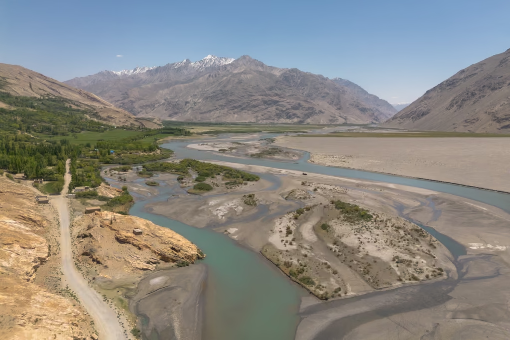
The route climbs gradually through the foothills before reaching the Panj Valley near Qala i Khumb. From here, the road follows the Panj River toward Khorog, with Afghanistan visible across the river.
Choose the southern route if: you want the simplest option, are traveling when mountain conditions are questionable, or want to break up the journey with a stop in Kulob.
Northern Route via Tavildara and Khaburabot Pass
The northern route heads from Dushanbe toward Tavildara before climbing over Khaburabot Pass, reaching elevations of around 3,200 meters before descending toward Qala i Khumb. This is a much more mountainous introduction to the Pamirs, with winding roads, steep valleys and huge mountain views.
The trade-off is that the road is more remote and conditions can be rougher, particularly outside the summer season. Snow can also make Khaburabot Pass difficult or impossible to cross earlier and later in the year.
Choose the northern route if: you’re traveling in summer, road conditions are good, and you want the more scenic and adventurous introduction to the Pamir Highway.
How to Travel the Pamir Highway
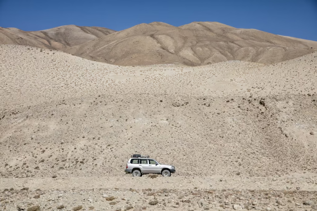
There are several ways to travel the Pamir Highway, but your choice makes a big difference to how much flexibility you have. For most first-time travelers, a private or shared 4×4 with a driver is the easiest option. Cycling and hitchhiking are possible, but both require considerably more time and patience.
Private 4×4 with Driver
A private 4×4 with a local driver is the easiest and most flexible way to travel the Pamir Highway. You can stop whenever you want, take side trips, and adjust your route when road or weather conditions change. It also means you don’t have to worry about navigating rough roads yourself.
If you’re traveling with several people, splitting the cost of a vehicle makes this much more affordable. I’ve traveled the Pamir Highway this way and think it’s the best option if you want to explore beyond the main M41.
Shared Taxi
Shared 4x4s and taxis are the budget-friendly way to travel the Pamir Highway. They’re commonly used between major towns such as Dushanbe, Qala i Khumb, Khorog and Murghab.
The downside is flexibility. Vehicles generally leave when full, and you’re unlikely to be able to make every detour you’d want. For the traditional Pamir Highway route, however, shared transport can work well.
Summer 2026 shared taxi prices on common routes:
- Dushanbe-Khorog: 400 TJS
- Khorog-Murghab: 250 TJS
- Khorog-Rushan: 120 TJS
- Khorog-Shazud: 40 TJS.
- Murghab-Osh: 600 TJS
Organized Tour
An organized Pamir Highway tour takes care of the vehicle, driver, accommodation and much of the logistics for you. This is the easiest option if you don’t want to arrange everything independently, although you’ll have less control over the itinerary.
Tours range from small-group trips to private journeys, so shop around if you go this route.
Cycling the Pamir Highway
Cycling the Pamir Highway is possible and has become a bucket-list journey for long-distance cyclists. You’ll have plenty of climbing, rough roads and serious altitude to contend with, particularly once you reach the Eastern Pamirs.
Allow at least two weeks for the main route, and considerably longer if you want to explore detours. The high altitude and remote nature of the route mean you’ll need to be self-sufficient with food, water and basic repairs.
Hitchhiking
Hitchhiking the Pamir Highway is possible, and I’ve done sections of the route this way. Traffic can be sparse, particularly in the Eastern Pamirs, so don’t expect to always find a ride quickly.
It’s also common to contribute toward fuel when riding with locals or other travelers. Carry plenty of food and water and give yourself plenty of time, since getting from A to B isn’t always a quick affair out here.
My recommendation: For most travelers, a shared 4×4 is the best budget option, while a private 4×4 with a local driver offers the best combination of flexibility and convenience. If you’re planning to follow the traditional M41 without major detours, shared transport can work well.
Pamir Highway Permits
There is a little more paperwork involved in traveling the Pamir Highway than in a typical Tajikistan road trip. The main thing to arrange is your GBAO permit, while some of the more remote detours require additional permits. If you’re traveling visa-free and staying more than 10 business days in Tajikistan, pay attention to OVIR registration as well.
GBAO Permit
The (Gorno-Badakhshan Autonomous Oblast) GBAO permit is required for foreign travelers entering GBAO, which includes the Pamir Highway. It is separate from your Tajikistan visa or visa-free entry.
You can arrange the GBAO permit before your trip or obtain it through OVIR in Dushanbe.
Do not leave Dushanbe without a GBAO permit if you’re heading into the Pamirs. You’ll encounter checkpoints along the route, so keep your permit and passport somewhere easily accessible. I also recommend carrying a few paper copies.
OVIR Registration
OVIR registration is separate from the GBAO permit. If you’re traveling to Tajikistan visa-free and will be in-country for more than 10 business days, you must register with OVIR within the first 10 business days you are in the country.
If you come to Tajikistan on the e-visa you do not need to register with OVIR.
If you need to register, you can register at OVIR offices throughout the country. There are offices in:
- Dushanbe
- Khorog
- Murghab
- Khujand
- Panjakent
Tajik National Park Permit
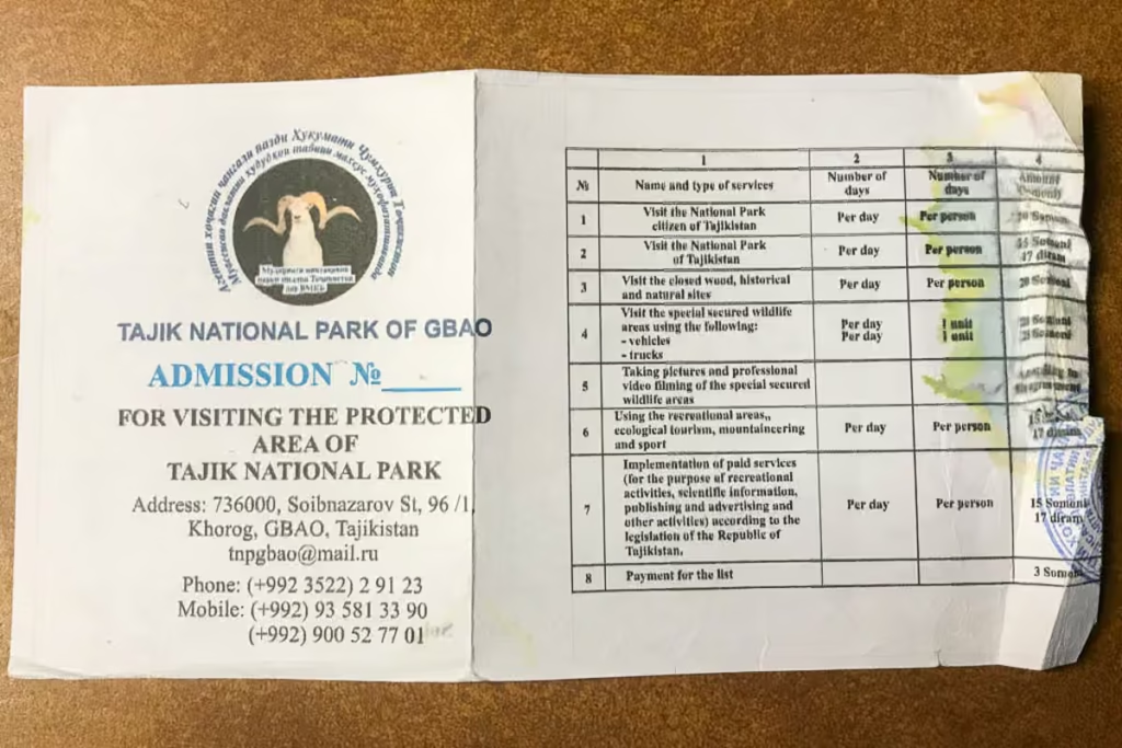
Some hiking routes within the Pamirs fall inside Tajik National Park, where an additional permit may be required. This is particularly relevant if you’re leaving the main Pamir Highway to explore remote valleys or trekking routes.
For a straightforward trip along the traditional M41, the GBAO permit is the main permit most travelers need. If you’re adding trekking or remote side trips, check whether your specific route requires a Tajik National Park permit before leaving Dushanbe.
Zorkul Permit
If planning to veer from the main M41 route to visit Zorkul Nature Reserve near the Afghanistan border, you’ll need additional permission to enter the protected area.
Zorkul is well away from the standard Pamir Highway route, so this isn’t something you’ll need for a typical Dushanbe-to-Osh journey. If you’re adding Zorkul to your itinerary, arrange the necessary permits in advance and allow extra time for the detour.
Lake Sarez Permit
Lake Sarez is another destination requiring additional permission and advance planning. The lake sits in a remote part of the Pamirs and is not a casual roadside detour from the M41.
If you’re planning to visit, arrange the required permit and logistics before heading into the region. A GBAO permit does not automatically give you permission to visit Lake Sarez.
Planning a standard Pamir Highway trip? For the traditional Dushanbe-to-Osh route, your main priority is having the correct GBAO permit and Tajikistan entry documents. Additional permits become relevant when you start adding remote destinations such as Zorkul or Lake Sarez.
Pamir Highway Altitude and Acclimatization
The Pamir Highway gets seriously high.
The biggest mistake I see travelers make is treating the Pamir Highway like a normal road trip. You can go from a relatively warm valley to more than 4,000 meters in a matter of hours. Give your body time to adjust, stay hydrated, and don’t be afraid to change your itinerary if you’re struggling with the altitude.
| Place | Elevation |
|---|---|
| Khorog | 2,200 m |
| Alichur | 3,880 m |
| Murghab | 3,650 m |
| Karakul | 3,960 m |
| Ak-Baital Pass | 4,655 m |
| Kyzyl Art Pass | 4,280 m |
Money and ATMs on the Pamir Highway
It’s wise to bring plenty of cash before leaving Dushanbe or Khorog. ATMs become increasingly scarce as you travel east, and you should not rely on being able to withdraw money in smaller Pamir towns.
The Tajikistani somoni (TJS) is the main currency you’ll need in Tajikistan. Carry enough cash for accommodation, food, transportation and unexpected expenses, plus some extra in case your plans change.
Khorog is your last reliable opportunity to stock up before heading deeper into the Eastern Pamirs. Murghab still does not have an ATM (though rumor has it, you can withdrawl cash from a debit card if you go inside and have the teller run your card). If you’re traveling onward to Kyrgyzstan, TJS are usually exchangeable to KGS at the Akhun Guesthouse in Sary Tash.
How Much Does the Pamir Highway Cost?
The cost of traveling the Pamir Highway depends heavily on how you travel. A shared vehicle can make the route relatively affordable, while hiring a private 4×4 with a driver is considerably more expensive but gives you much more flexibility.
Your biggest expense will usually be transportation, followed by accommodation and food.
Pamir Highway Budget at a Glance
Here are approximate costs to consider for a 10 day trip, factoring in transport, accommodations, and food.
| Travel style | Approximate cost | Best for |
|---|---|---|
| 4×4 with driver (solo) | ~$1,500 | Flexibility and comfort |
| 4×4 with driver (4 travelers) | ~$600 per person | |
| Shared taxi | ~450 per person | Budget travelers |
| Cycling | $350 | Independent cyclists |
My recommendation: If you’re traveling with 3-4 people, sharing a private 4×4 with a driver offers the best balance of cost and flexibility. If you’re solo, look for other travelers to join before booking a vehicle, as splitting the cost can make a huge difference.
Looking For A Little More Information On The Pamirs?
Check out these guides:
Tajik Wakhan Valley Travel Guide
Solo Female Travel In Tajikistan
Dushanbe City Guide
Bartang Valley & Highway Guide
Jizeu Trek: The Pamirs Best Overnight Hiking Trip
Qala i Khumb Travel Guide
Khorog Travel Guide
How To Get To Lake Sarez
How To Get To Khafrazdara Valley & Grum Grijmailo Glacier
Rasht Valley Travel Guide
How To Cross The Qolma Pass Between Tajikistan & China
10 Reasons To Visit The Pamirs
Pamir Highway Stops
Dushanbe to Qala i Khumb
(Southern Route)
The southern route from Dushanbe to Qala i Khumb is the more straightforward of the two options, passing through Nurek and Kulob before climbing into the mountains toward the Panj Valley. It is also the route I’d recommend if you want to make the journey a little more efficient.
Dushanbe
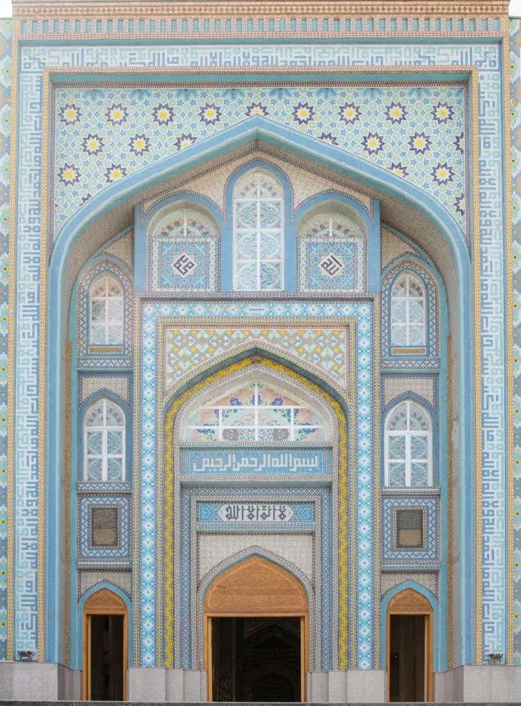
Most Pamir Highway journeys begin in Dushanbe, Tajikistan’s capital and the last place on the route where you can stock up properly before heading into the mountains.
Take advantage of your time here to withdraw cash, buy snacks and other supplies, pick up a Tajik SIM card if needed, and make sure you have everything required for the journey. Dushanbe is also worth at least a day or two of exploring before you leave, with leafy parks, grand Soviet-era architecture, museums, and lively markets.
Once you leave the capital, the landscape changes quickly. The city gives way to increasingly rugged mountains as the road heads southeast.
Dushanbe has a number of accommodations, from expensive Soviet-era hotels, hostels, to homestays.
Don’t know what to do in Dushanbe? Check out the Dushanbe City Guide
Where To Stay In Dushanbe
Budget
Hello Hostel Dushanbe
| Booking.com | Agoda.com |
Greenhouse Hostel
| Booking.com | Hotels.com |
Midrange
Atlas Hotel
| Booking.com |
Atlas B&B Hotel
| Booking.com | Agoda.com |
Splurge
Hilton Dushanbe Hotel
| Booking.com | Hotels.com |
Dushanbe Serena Hotel
| Booking.com | Hotels.com |
Hyatt Regency Dushanbe
| Booking.com | Hotels.com |
Check out my post for the best restaurants in Dushanbe
Where To Get Shared Taxis To The Pamir Highway From Dushanbe
Head to the Badakshanskaya Avtostansiya at 149 M. Nazarshoev, just behind the Hilton Hotel. Walk through the gates and continue walking, people will likely ask where you are wanting to go and point you to where the Khorog bound taxis wait.
Most shared taxis will depart Dushanbe for Khorog (or Qala i Khumb) in the morning between 5 am and 10 am. Few will depart on Friday, Saturday, and Sunday so you may have to wait a bit until yours fills up.
There is a small chaikhana here to grab breakfast at right next to the taxis as you wait.
Expect a shared taxi to take appoximately 12 hours between Dushanbe and Khorog at a cost of 400 TJS per seat.
Nurek Reservoir
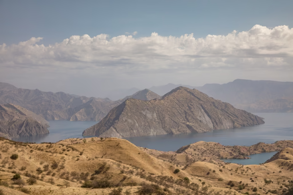
The road passes through Nurek, a city best known for the enormous Nurek Dam and its reservoir. Built on the Vakhsh River during the Soviet period, the dam was once among the tallest in the world.
The turquoise reservoir stretches between steep, dry mountains, creating some of the first big mountain views of the journey. Depending on your route and driver, you may be able to stop for views over the reservoir, although don’t expect a polished tourist viewpoint at every stop on the Pamir Highway.
Kulob
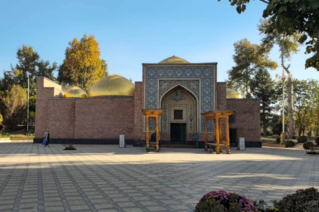
Kulob is one of Southern Tajikistan and Khatlon Region’s major cities and an important stop before heading deeper into the mountains. The city has a long history and is one of the oldest urban settlements in the region.
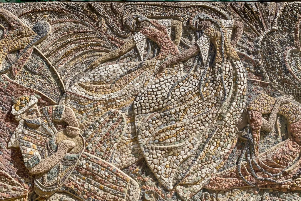
If you do choose to spend a little time in Kulob, the Khoja Mir Sayid Hamadani Mausoleum is probably the most well-known stop. There are also a handful of beautiful mosaics around the city.
For most travelers, Kulob is more of a practical stop for lunch than a major sightseeing destination. It’s a good place to refuel, grab food, and make sure you’re prepared for the increasingly remote road ahead.
Wanna take a cool side journey from the Pamir Highway? Check out Khatlon Region’s stars Sary Khosar Valley and Childukhtaron
Shurubad Pass
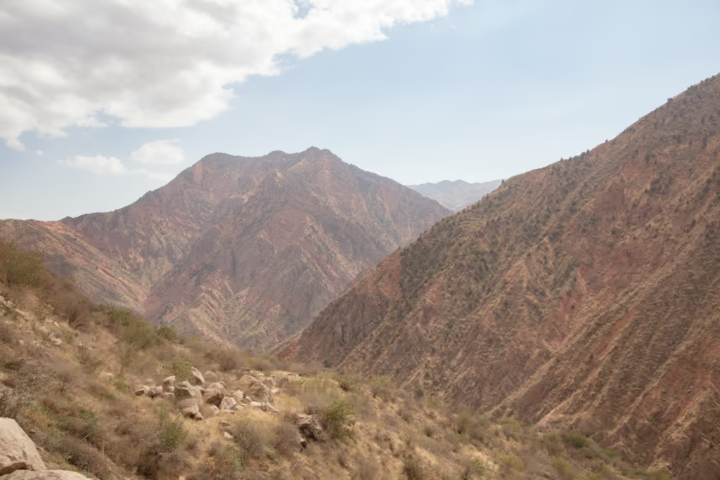
After Kulob, the road climbs toward Shurubod Pass as it leaves the lower valleys behind. The scenery becomes noticeably more mountainous, with barren slopes, winding roads, and increasingly dramatic views.
In the pass, you will encounter your first GBAO checkpoint (or last, if starting in Osh). This checkpoint almost always will make you exit the vehicle and go up to the checkpoint to register. It’s a quick process and the checkpoint is open 24 hours.
Shurubod Pass marks a transition into the more remote landscapes associated with the Pamir Highway. From here, you’ll eventually descend toward Qala i Khumb and the Panj River, where Afghanistan lies directly across the river.
Dushanbe to Qala i Khumb
(Northern Route)
The northern route from Dushanbe to Qala i Khumb takes a much more mountainous path through Tavildara and over Khaburabot Pass. It’s generally slower and more remote than the southern route, but the scenery is a major reason travelers choose it.
This route can be particularly appealing if you’re interested in getting deeper into Tajikistan’s mountains before reaching the Panj Valley.
Tavildara
Tavildara sits in a remote mountain valley surrounded by steep, rugged peaks. The road here feels considerably more isolated than the route through Kulob, especially once you turn from the Rasht Valley road beyond Obigarm.
Don’t expect a long list of attractions. The landscape is the attraction. You’ll spend much of this section watching the road twist through increasingly dramatic mountain scenery, with villages, rivers, and high peaks appearing around the bends.
Looking to hike in the Rasht Valley? Check out the Gardan i Kaftar Trek
Khaburabot Pass
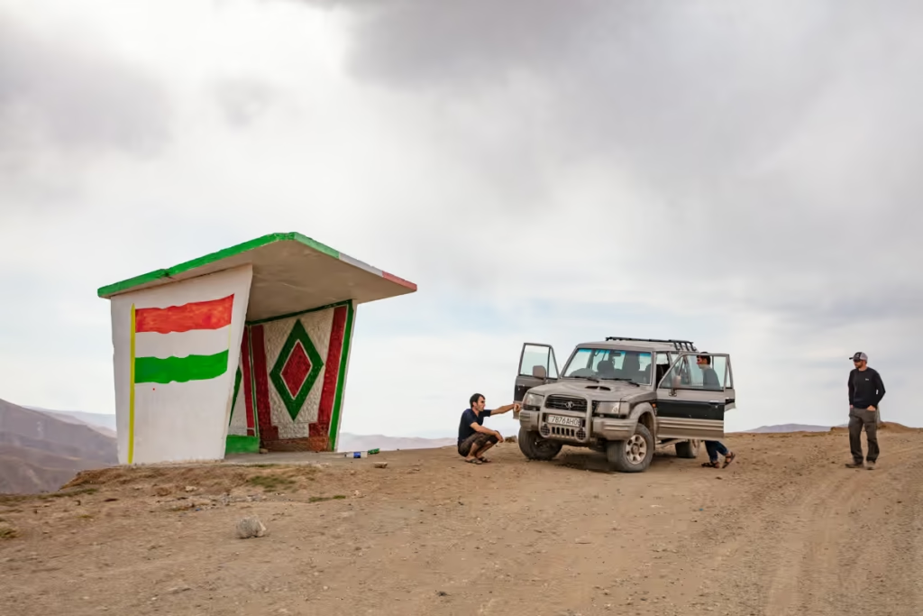
From Taviladara, the road climbs to Khaburabot Pass, one of the major mountain crossings between Dushanbe and Qala i Khumb. At more than 3,000 meters, this is a serious climb into the mountains.
The scenery around the pass is spectacular, particularly when the surrounding peaks are dusted with snow. Weather can also change quickly here, so road conditions should be taken seriously, especially outside the main summer season.
The drive down from the pass can be harrowing at certain points with tight turns and sheer vertical drop offs.
The descent eventually brings you toward Qala i Khumb and the Panj River.
Qala i Khumb to Khorog
This is one of the most memorable sections of the Pamir Highway. From Qala i Khumb, the road follows the Panj River for much of the way to Khorog, with Afghanistan sitting on the opposite bank.
The road is narrow and frequently carved directly into the mountainside. On one side you’ll have towering cliffs; on the other, the fast-moving Panj and the mountains of Afghanistan. It’s one of those stretches where you’ll probably spend more time looking out the window than at your phone.
Qala i Khumb
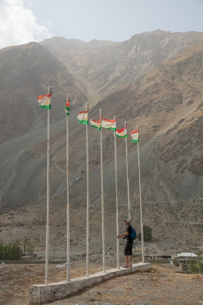
Qala i Khumb, also written as Kalaikhum or Kalai-Khumb, is a small town at the junction of the Panj and Obikhingou rivers.
For travelers, it’s an important stop between Dushanbe and Khorog. It’s also where the journey begins to feel distinctly different. The road becomes more rugged, settlements become smaller, and the Panj River becomes your constant companion.
Many travelers will continue through to Khorog in a single day, while many others will break up the journey and spend a night here.
For accommodation, Darvaz Guesthouse is a good and inexpensive option as well as Roma Jurayev. There are pricier options like the Karon Palace Hotel. Usually, it’s easy enough to get a guesthouse arranged once you arrive. Local kids will likely see you on the street and guide you to a relative’s place.
There isn’t much in the way to see in Qala i Khumb. I spent three days there in the fall of 2019 after completing a trek in Rasht Valley and taking the Northern Route of the M41 to town. People in Qala i Khumb are friendly, and it is a great place to relax for a day or two.
Vanj Valley
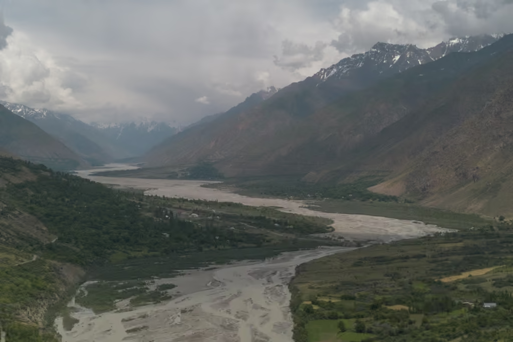
The Vanj Valley branches north from the Panj River toward the high mountains of the Pamirs. The valley is known for its dramatic peaks, verdant scenery, glaciers, and traditional mountain villages, and makes for a great detour from the Pamir Highway.
Most travelers won’t have time to explore the entire valley, but it’s worth knowing about if you have additional days. Side trips here can take you to gorgeous villages. Vanj Valley’s most well-known landmark is Fedchenko Glacier, the longest non-polar glacier in the world. Fedchenko is accessible on foot from the last village of Poi Mazar on the Vanj Valley Road.
Rushon & the Bartang Valley
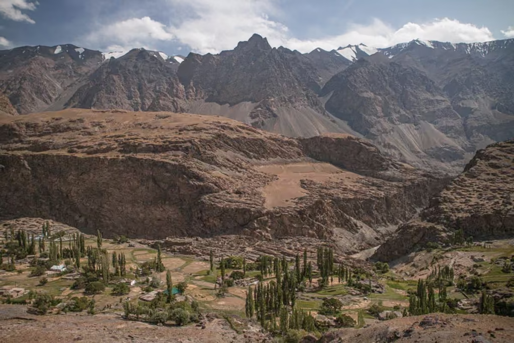
Rushon is another important settlement along the Panj RIver, and a gateway to the Bartang Valley. The Bartang branches deep into the Pamirs and is known for its remote villages, towering mountains, and trekking opportunities.
If you have extra time, the Bartang Valley is one of the best side trips to consider from the main Pamir Highway. It feels significantly more remote than the main route, with traditional villages tucked into narrow valleys and mountains rising dramatically around them.
The most popular detour up the Bartang Valley is the short hike to the beautiful village of Jizeu.
For travelers sticking to the main highway, Rushon makes a useful stop before continuing toward Khorog.
Khorog to Murghab
The road from Khorog to Murghab is where the Pamir Highway really starts living up to its high altitude reputation. You’ll leave the relatively green valleys around the Panj behind and climb onto the high Pamir Plateau.
This section includes some of the route’s most famous landscapes, including the lakes around Bulunkul and Yashilkul, high mountain passes, and the enormous open spaces around Alichur.
Note that I am focusing on the true M41 for this section of the Pamir Highway route. If you’d like to learn more about the other valleys that begin from Khorog such as the Wakhan Route, check out the Wakhan Valley Guide and for the Shokhdara Valley read my Shokhdara Valley Guide.
Khorog
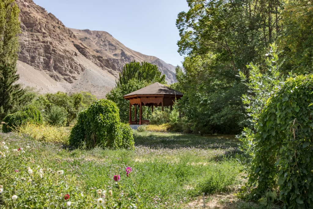
Khorog is the capital of Gorno-Badakhshan Autonomous Oblast and the largest town in the Pamirs. After days of remote mountain travel, it can feel surprisingly lively.
It’s an important resupply point, so take advantage of the opportunity to stock up on food, cash, and other necessities. Khorog is also a good place to slow down for a day or two if your itinerary allows.
The best things to do before you leave Khorog is to at least spend an afternoon in the shaded Central Park and a visit to the Botanical Gardens. There are several restaurants in Khorog, my favorites are Delhi Darbar, Joy Cafe, Chor Bogh, Luni Cafe, and Overing.
if you need help planning your adventures in the Pamir, make sure to pay a visit to the PECTA Office in Khorog Central Park.
Where To Stay In Khorog
There are several accommodation options in Khorog, my favorite being Welcome Inn Guesthouse (+992 93 703 5393), run by my good friend Zhandiya. Zhandiya knows the Pamir like the back of her hand and can help make suggestions on where to go and even connect you with drivers and guides
Budget
Welcome Inn
|+992 93 703 5393 |
Lal Hotel Dorm
| Booking.com |
Midrange
LAL Hotel
| Booking.com |
Splurge
Serena Inn
| Booking.com | Hotels.com |
Where To Get Shared Taxis/Marshrutkas
To Murghab (via the Gunt Valley)
Murghab shared taxis depart outside of Khorog in a place called Bidurd, a bit east of Khorog. You will need to take a sprinter van to Bidurd that departs from the bus stop near Amonat Bank, just down from the Old Bazaar for 6 TJS. A seat in a shared taxi to Murghab will cost 250 TJS.
From the same lot, you’ll also find marshrutka bound for Shazud (for those planning to visit Bachor) will cost about 50 TJS in a shared taxi and takes about 3-4 hours (Hiring a taxi from Shazud to Bachor should cost about 120 TJS on average additionally).
To Wakhan Valley
Wakhan bound shared taxis now leave from the main parking lot at the new bazaar. Shared taxis bound for the Wakhan Valley’s Ishkashim should cost 70 TJS and take 3 hours, and expect to pay 150 TJS for the 7-hour drive from Khorog to Langar.
To Dushanbe
Shared taxis bound for Dushanbe used to leave from the lot next to the bazaar, but have moved as of 2020 to a lot just beyond the airport about 4 km from the bazaar. The easiest way to reach the Dushanbe shared taxi lot is to grab a Raksh Tax (dial 3333) or hop on either marshrutka #1 or #3 westbound.
Expect to pay 400 TJS for a seat in a shared 4×4. The journey will take around 12 hours on average.
To the Bartang Valley
Go to the main lot at the new bazaar, about 1.5 km west of downtown Khorog. Prices will vary depending on where you’re going. Most will only go to Rushan or Jizeu for those planning to do the trek, expect to pay 150 TJS for the journey.
Taxis going beyond in the Bartang Valley will cost more. A private 4×4 to Pasor or Gudara can likely run $150 USD each way.
To Shokhdara Valley
To get to the Shokhdara Valley-bound cars, you’ll need to go the new bazaar lot.
Bachor Mountain Lakes
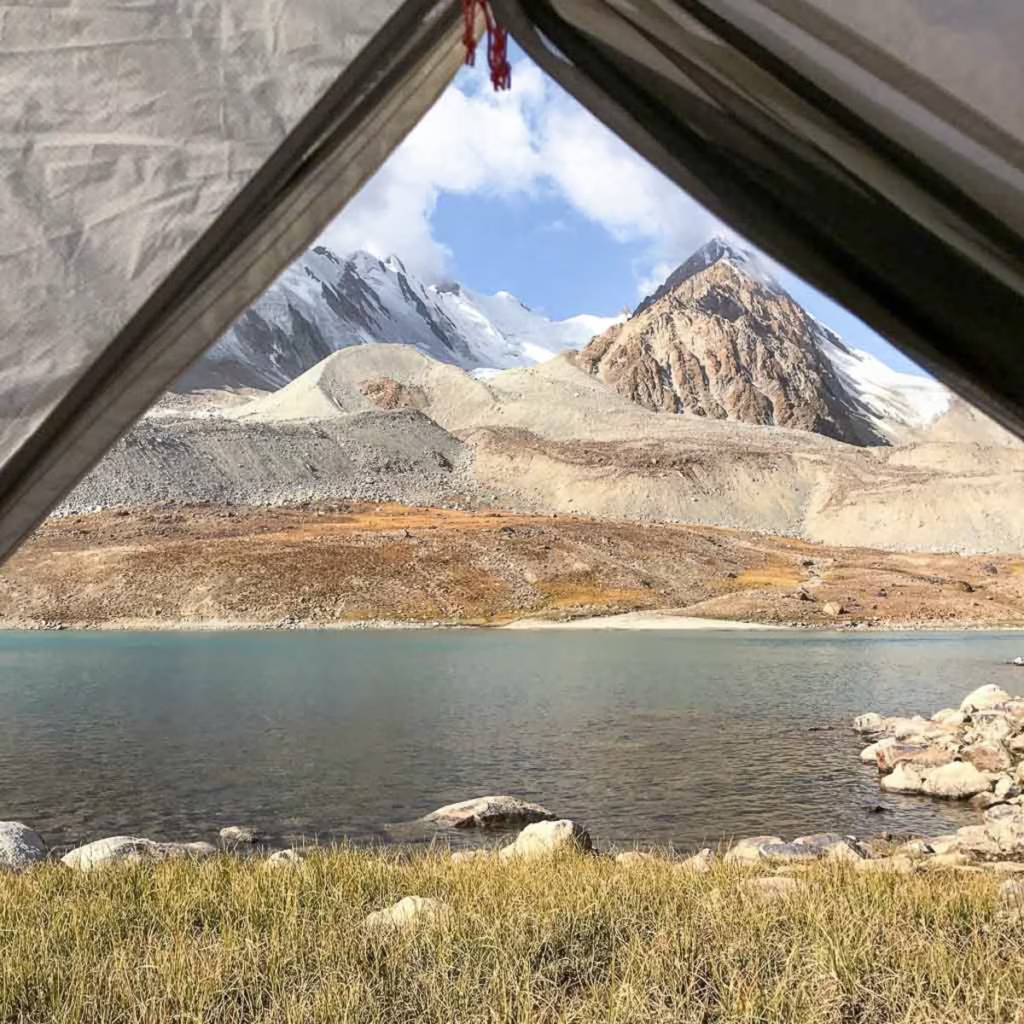
Bachor is located off the M41 via the village of Shazud. From Bachor, you can trek to Yashilkul, Bulunkul, or make a loop of the stunning mountain lakes beyond Bachor. Technically you’re supposed to have a Tajik National Park Pass.
To reach Bachor, you’ll need to take a shared taxi from Bidurd, headed up the Gunt Valley. Once in Shazud, you usually can find a car headed up to Bachor for around 120 TJS.
Looking for more hikes? Check out the 10 best treks in Tajikistan
Jelondy
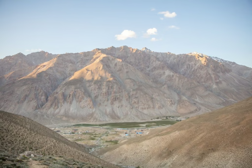
Jelondy is a small mountain settlement known for its hot springs. After days of bouncing around in a 4×4 on rough mountain roads, soaking in naturally heated water is a pretty excellent travel upgrade.
The surrounding landscape is stark and high-altitude, and the town makes a useful stop before continuing toward the higher passes.
Jelondy is also the beginning (or end) of the trek to Turumtaikul Lake between Jawshanguz (Shokhdara Valley) and Jelondy.
Koi-Tezek Pass
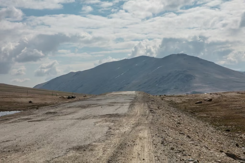
Koi Tezek Pass is one of the high mountain passes on the road between Khorog and Murghab. At a lofty 4,272 meters, you’re firmly in high-altitude territory here.
The landscape becomes increasingly barren and moon-like as you climb, with vegetation thinning out and huge expanses of rocky mountains replacing the greener valleys around Khorog.
From Koi-Tezek Pass it’s possible to turn off and follow jeep tracks a few kilometers to the south to a shepherding camp from which you can make the ascent up 5,700 meter Kyzyldong– a high-altitude, yet non-technical climb.
Bulunkul & Yashilkul
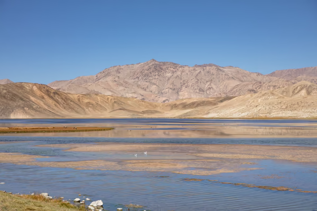
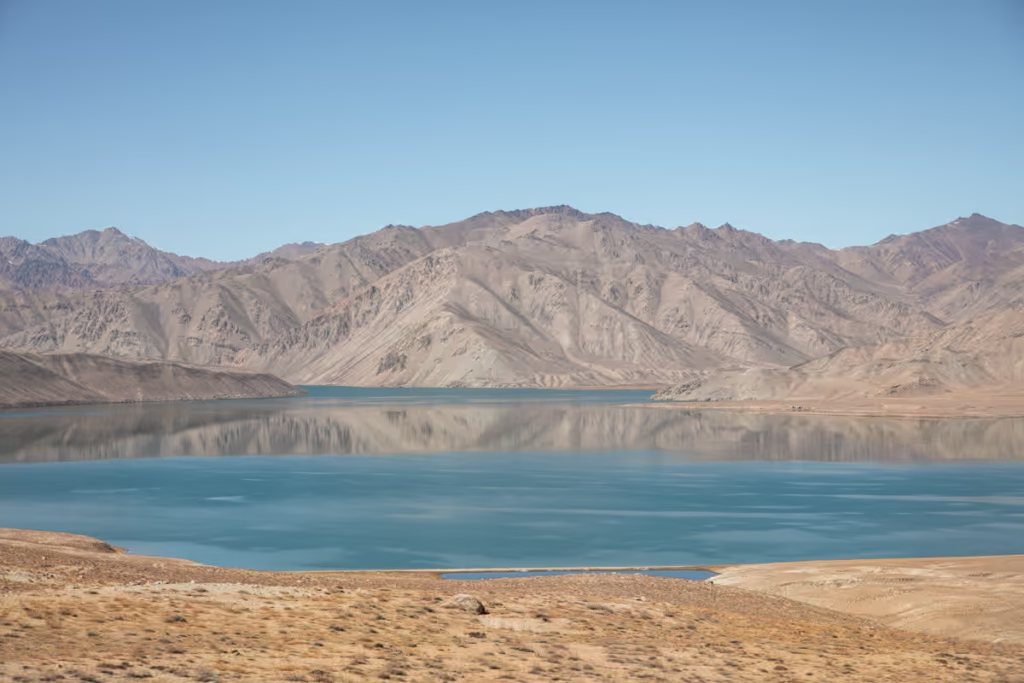
Bulunkul and Yashilkul are popular detours from the main Pamir Highway, with Bulunkul being located about 16 km off the route.
Bulunkul is one of the most atmospheric villages in the eastern Pamirs, surrounded by an austere landscape of mountains, desert, and high-altitude lakes. It’s also the coldest place in the pamir with a record -60°C once recorded there in the winter.
Nearby Yashilkul, meaning “Green Lake,” is one of the area’s major natural attractions. The blue-green water contrasts sharply with the barren mountains surrounding it.
This is a place where spending the night can be worthwhile. Temperatures can drop dramatically after sunset, though, so don’t expect the Pamirs to maintain their sunny daytime warmth once the sun disappears.
Plot your time in the East Pamir: The Eastern Pamir Travel Guide
Alichur
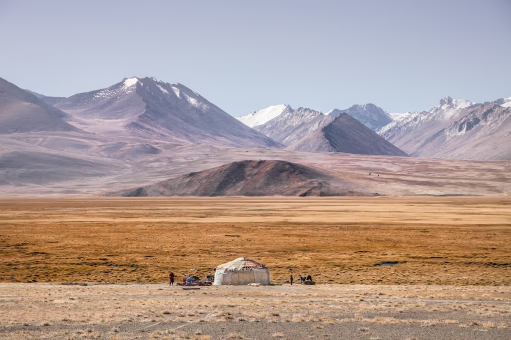
Alichur is a small settlement on the Pamir Plateau and an important stop between Khorog and Murghab.
A predominately Kyrgyz community that consists of scattered white homes, a small handful of homestays, a restaurant, and a mosque. Alichur doesn’t see many travelers stay overnight, so curious locals will likely give you a tour of their village.
The surrounding landscape is wide open and almost otherworldly, with enormous skies, yaks roaming the dry plains, and yurt-dotted mountains stretching toward the horizon. This is also one of the places where you begin to understand just how high and remote the eastern Pamirs really are.
Ak Balyk
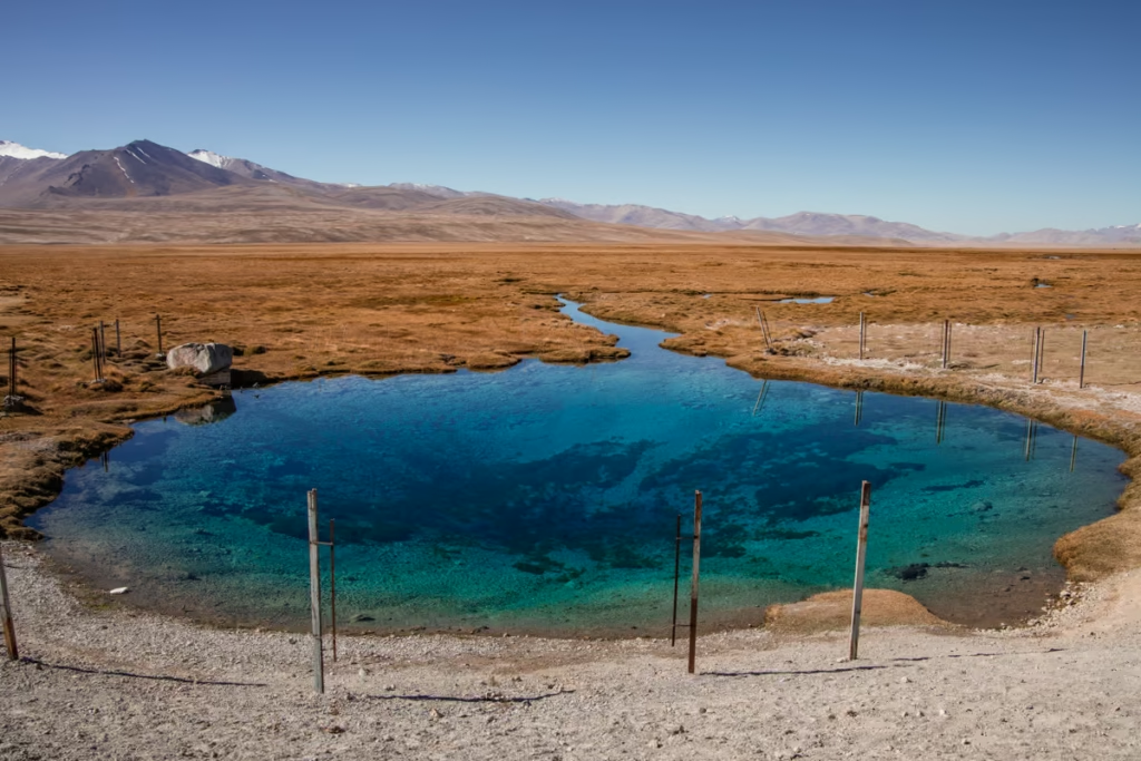
One of my absolute favorite places in Tajikistan and it’s ironically easy to access. Just north of Alichur, it will be on your right side if you are Osh bound, on your left if Dushanbe bound. Whatever you do, stop! Especially in the morning, the water is crystal clear. But don’t get in it or pee in it- it is sacred. Ak-Balyk means ‘white fish’ in Kyrgyz.
Madiyan Valley
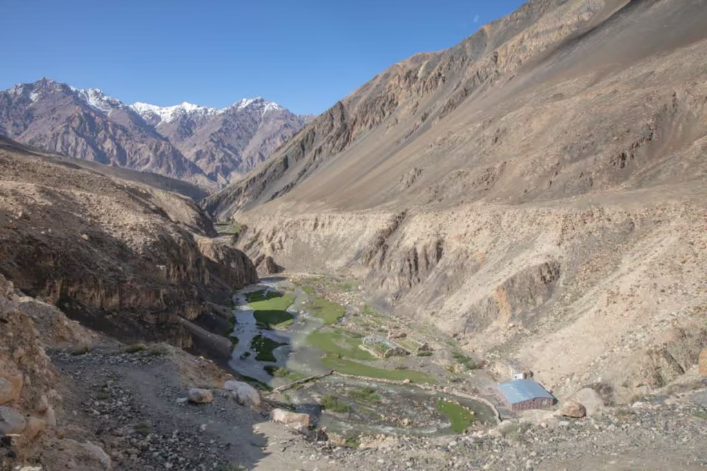
Just south of Murghab, extending toward the west, sits Madiyan Valley. If you follow the jeep tracks up far enough, there is a hot spring out here. The valley is also the endpoint of the hike up and over Gumbezkul Pass and from Pshart Valley.
Murghab to Osh
The final section of the classic Pamir Highway route crosses some of the highest and most remote terrain of the journey before leaving Tajikistan and entering Kyrgyzstan.
The scenery changes again as you pass through the eastern Pamirs, around Lake Karakul, over Kyzyl Art Pass, and eventually descend toward Sary Tash and Osh.
Murghab
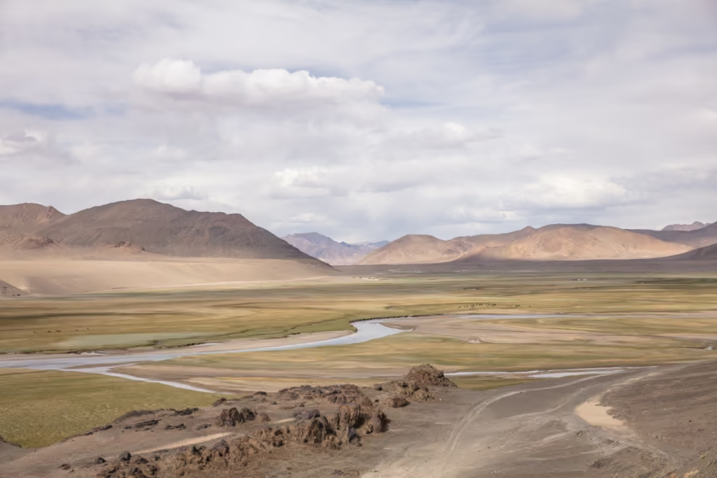
Welcome to the wild-wild East! This is your best base to explore the Eastern Pamir from. It’s equal parts weird and wild, really, from the shipping container bazaar, the dead goat polo At-Chabysh festival, to the Soviet-era remnants- Murghab will keep you occupied for about a day.
There are chaikhanas in town, but most people just eat at their homestays. Not to miss is the yak ice cream on offer on the backside of the Murghab Bazaar.
Plan your stopover in Murghab: The Murghab Travel Guide + 3 Things To Do In Murghab
Where to Stay in Murghab
My favorite place to stay in Murghab is Erali Guesthouse. The family who runs the guesthouse is so sweet, especially the Mom who will cook up your meals, invite you to her kitchen to see how she makes bread, and even sit down for a glass of chai with you.
I’ve randomly ended up at Tulfabek Guesthouse a couple of times I’ve passed through Murghab, it’s a great value at only 45 TJS per night including breakfast.
One thing to note about Murghab is that electricity is irregular. Don’t be surprised if it’s out or so weak it’s nearly impossible to charge anything while you’re there.
- East Pamir Eco Tours Guesthouse (+992 90 050 4644)
- Erali Guesthouse (+992 93563751421618)
- Tulfabek Guesthouse (+992 935389159)
- Pamir Hotel (+992 93050586321762)
Shared Taxis From Murghab
Osh
From the bazaar expect a couple of 4×4 shared taxis will depart to Osh/Sary-Tash. If you want to guarantee a seat best to arrange the day before. You can expect to pay around 600 TJS (or about 5500 KGS coming from Osh to Murghab) for the 12-hour ride to Osh.
Some evenings drivers will go homestay to homestay asking if anyone is looking for a shared taxi in the morning (the last time I was in Murghab this was how I ended up arranging my shared taxi), you can also ask at your homestay and they will likely make a call and get you square to leave in the morning.
Khorog
Expect to pay about 250 TJS for the 7-9 hour drive to Khorog. A few vehicles to depart daily toward Khorog from the bazaar.
Rangkul
A shared taxi departs the bazaar in the late afternoon behind the Aida Cafe. A seat will cost 50 TJS.
Departures For Qolma Pass
You will need to get private transportation to reach Qolma Pass (border crossing with China). I recommend contacting Pamir Highway Adventure to arrange a 4×4. You will also need to arrange a pick-up to take you to Kashgar or Tashkurgan on the Chinese side of the border. Learn more about crossing the Qolma Pass here.
Departures For Wakhan Valley
You will find it easiest to hire a private 4×4 to reach Khorog via the Wakhan Valley. For more info in the Wakhan Valley, check out my Wakhan Valley Travel Guide.
Pshart Valley
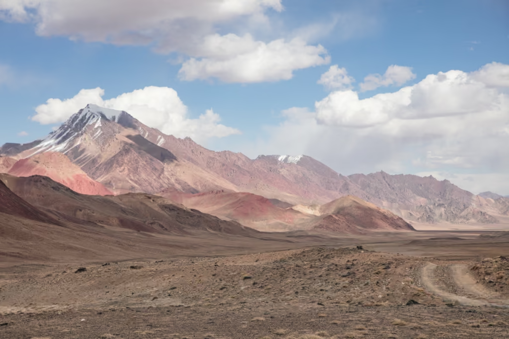
This rainbow swirled valley sits just north of Murghab and can be combined with the previously mentioned Madiyan Valley via Gumbezkul Pass.
Ak-Baital Pass
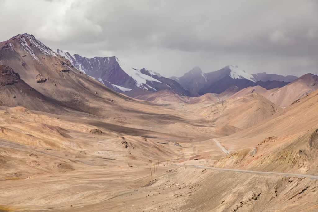
White Horse Pass in Kyrgyz. This pass goes up and over 4,655 meters, be on the lookout because many times Marco Polo sheep can easily be spotted from the highway. Don’t be surprised if it’s snowing up here, even in mid-summer.
Karakul
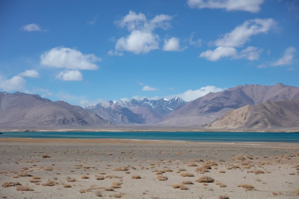
Lake Karakul is one of the eastern Pamirs’ most spectacular natural landmarks. Sitting at roughly 3,900 meters, the enormous lake is surrounded by barren mountains and often reflects the peaks in its deep blue water.
The name means “Black Lake,” and the landscape certainly fits the name. It’s stark, cold, and incredibly photogenic. Its thought to have been created by a meteor impact.
Karakul is also one of the best places on the route to spend a night if your schedule allows. Sunrise and sunset can transform the surrounding mountains, and the lack of light pollution makes the night sky spectacular.
Those looking for a good warm-up hike should check out the South Aral Peak hike nearby.
Kyzyl-Art Pass
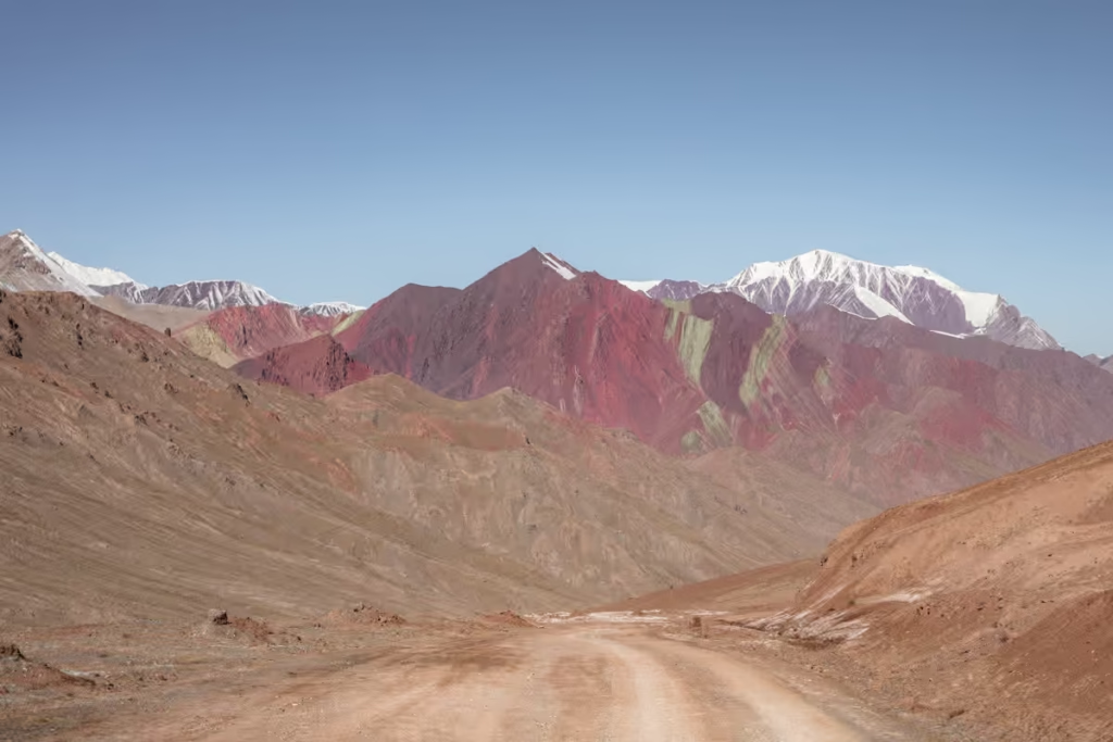
This is the second-highest border crossing in the world at 4,282 meters. Wave goodbye to Tajikistan and hello to Kyrgyzstan (or vice-versa). There are some beautiful color-striped mountains in this no-man’s land between Kyzyl-Art and Bordobo.
Everything you need to know: The Kyzyl Art Border Crossing
Sary-Tash
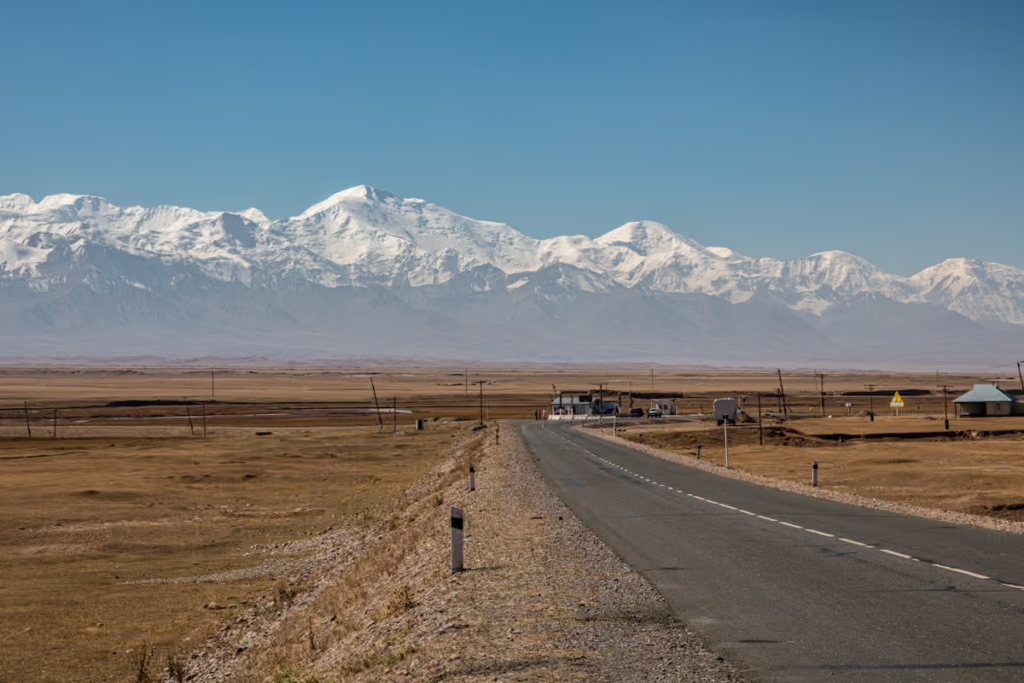
Once across the border, the landscape begins to soften as you descend toward Sary Tash in Kyrgyzstan.
Sary Tash is a small village sitting in a broad valley beneath the enormous Trans-Alay range. After the stark, high-altitude landscapes of eastern Tajikistan, seeing green pastures and grazing animals again feels almost suspiciously luxurious.
The village is an important stopping point for travelers continuing to Osh, and it also makes a good base for exploring the surrounding mountains. Most shared taxis and drivers stop at the Akhun Guesthouse for lunch. You can also trade money here too.
Those detouring to Sary Mogul, Tulparkul, or Lenin Base Camp will head west from Sary Tash, rather than heading north to Osh. Note that Tulparkul and Lenin Base Camp require a border zone permit. If you need one, please send us an e-mail at [email protected] and we can arrange one for $40 per person.
Osh
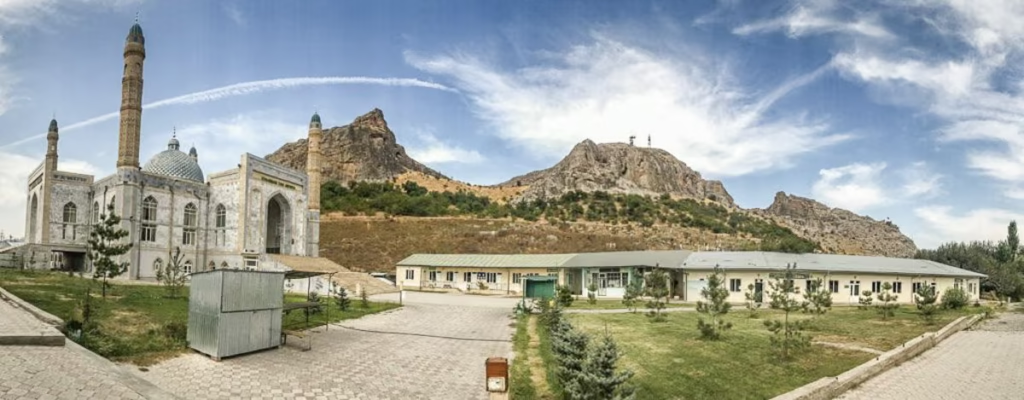
Kyrgyzstan’s second-largest city in a flat valley with a giant rocky mountain in the center of it. Osh is ancient, interesting, and has a strange vibe.
Occasional ethnic tensions come to a head here as it sits in the gnarl of Uzbekistan, Tajikistan, and Kyrgyzstan coming together in the Ferghana Valley. But, Osh is normally completely safe to visit.
Things to check out here include the large and sprawling Osh Bazaar, Suleman Too, Cave Museum, Animal Market, and of course the Lenin Statue. There are a plethora of restaurants here, my favorite being Izyum- if you need a break from Central Asian fare.
Plan your visit to Osh with my Osh Travel Guide
Where To Stay In Osh
Budget
Navi Hostel
| Booking.com |
Midrange
Silk Way Boutique Hotel
| Booking.com | Hotels.com |
Splurge
Jannat Resort Osh
| Booking.com | Agoda.com |
Where To Grab Shared Taxis In Osh
In the past, shared taxis bound for Tajikistan (Pamir Highway) usually can be found at the Murghab-Baza taxi stand and sometimes at the Argomak taxi stand. At this time, regular transport over the border hasn’t yet returned, so ask around at guesthouses to help find a car going. Expect to pay about 5,500 Kyrgyz Som per person in a shared 4×4 for the 12-hour ride. You can also speak with your guesthouse and ask for them to arrange for you.
For transport to most elsewhere in Kyrgyzstan by marshrutka or shared taxi head to the Main Minibus Station. If bound for Batken to continue into Tajikistan’s Fergana Valley cities of Isfara, Khujand, and Istaravshan head to the Batken Minibus Stand, from where you can continue over the Batken-Isfara border crossing. You can also stop by Visit Alay (The CBT Osh) office, or contact them to arrange trips on the Pamir Highway.
A Weird Thing About Time In Eastern Tajikistan
The entire Murghab District of Tajikistan (think: Murghab, Alichur, Bulunkul, Bash Gumbez, Rangkul, and so on…) operates 1 hour ahead of Tajikistan time. Therefore the Murghab District operates on Kyrgyzstan time. I always ask once I’m in Eastern Tajikistan which time we’re leaving/meeting/etc. in the morning just to verify.
Pamir Highway Budget
What should your budget be? Well, that all depends on how you wanna go about this.
Accommodations
Expect to pay $25-30 USD per night in homestays and simple guesthouses including breakfast and dinner.
Food
As breakfast and dinner are likely included in the cost of your homestay, expect to pay anywhere from 10 TJS to 40 TJS for lunch at a chaikhana.
Transportation
This is largely dependent on if you go about this via 4×4 hire or by shared taxis. Expect a 4×4 hire without side trips at an estimated 7 days to come in around $1,200 USD (of course this can be split amongst 2-6 of you). If doing the journey solely by shared taxi/marshrutka expect your cost to be $65 USD per person.
Estimated Budgets For The Pamir Highway
$200+ per day
Via private 4×4 hire (solo traveler)
$75 per day
Via 4×4 hire shared amongst 4 passengers
$40 per day
Via shared taxis
*These are averaged over 7 days
Pamir Highway Tours & Guides
These are tour operators and guides that can be hired to take you out on excursions and on treks in the region.
Tajikistan Based Operators
- Women Rockin Pamirs– Started by a French NGO Christine Oriol. Offers trips led by female Tajik guides that have been trained through their program.
- Paramount Journey– Offers some of the best itineraries around Tajikistan and their staff are extremely knowledgeable.
- Sarez Travel– Can arrange tours all over Tajikistan, but specialized in Lake Sarez and the Bartang Valley.
- Bartang & Sarez Tours– Specializes in the Bartang Valley, Lake Sarez, and Khafrazdara Valley.
- Pamir Guides– I’ve had the honor of meeting Saidali one of the owners and operators. Saidali has many years of experience and expertise in the Pamir region.
- Bartang & Sarez Tour– A new company offering trips to Lake Sarez and beyond.
- Discover The Pamir– A newer company specializing in the Pamirs, Bartang Valley, and beyond.
- Pamir Highway Adventure
- Tour De Pamir
- Badakshan Travel
- Pamir Silk Tours
You can also contact PECTA for more recommendations.
Kyrgyzstan Based Operators
- Visit Alay– Community Based Tourism (CBT) In Osh. Can arrange various trekking trips in the Alay Valley and Pamir Highway trips for those starting from Kyrgyzstan.
*Remember that guides and drivers will expect a tip.
Pamir Highway Packing List
Clothing
- Warm outer shell jacket x1
- Down jacket x1
- Fleece x1
- Long sleeve base layer top x2
- Short sleeve shirts x2
- Trekking pants x1
- Leggings x2
- Trekking socks x2
- Warm socks x1
- Sports bra x2
- Mittons x1
- Warm hat x1
- Sunglasses x1
- Microfiber towel x1
Recommended Gear
- Inreach Explorer
- Backpack (I personally recommend the Osprey Ariel 65 and an attaching daypack)
- Hiking boots (My favorite are the La Sportiva Trango Tech GTX)
- Waterproof sandals
- Katadyn water purifier
- Fann Mountains Map
- Sleeping mat
- 3-season tent
- Hydration Pack
- Sleeping bag cold rated to -5ºC/20ºF
- Campstove and Cooking set
- Silicone squeeze tubes (for cooking with sauces, olive oil, etc.)
- Propane/butane canister (available for purchase at Greenhouse Hostel in Dushanbe)
- Trekking poles
- Headlamp
- Trekking in Tajikistan by Jan Bakker (Written by a friend and includes the Fann Mountains, Yagnob Valley, and Pamir)
Toiletries
- Sunscreen
- Biodegradable shampoo bar
- Biodegradable soap
- Toothbrush
- Biodegradable wipes
- Toilet Paper
- First Aid Kit
- Hand sanitizer
Electronics
- Camera/lenses and necessary accessories
- Battery Bank
- Solar Panel
- Phone and charging cables
Maps for the Pamir
- Pamirs Map by Gecko Maps
Guide Books
- Trekking in Tajikistan by Jan Bakker & Christine Oriol. You’ll find detailed descriptions of these hikes as well as those in the Pamirs in this book.
- Tajikistan and the High Pamirs by Robert Middleton & Hue Thomas. This is a huge book, but it has so much good info on Tajikistan from history, great-game stories, travel information, and more.
- Bradt Tajikistan by Sophie Ibbotson & Max Lovell-Hoare. The most comprehensive guide to Tajikistan in print.
- Central Asia by Lonely Planet. Though I will say, their newest redesign is almost functionally useless and serves little more than a ‘X reasons to visit Tajikistan’. blog post.
- The Central Asia Phrasebook by Lonely Planet I found this to be a handy item for Tajik, Russian and Kyrgyz phrases, not so much for the Wakhi phrase section.
Food
- Dehydrated meals (you’ll need to stock up before leaving home)
- Trail mix
- Jerky
- Dried fruit and nuts (easily purchased at a bazaar)
- Peanut butter
- Spice packets
- Olive oil for cooking
- Hot sauce (bring from home to jazz up bland food)
- Instant mashed potatoes (so unhealthy, but I love them after a long trekking day)
- Fresh veggies, noodles, bread, rice, and more can be purchased at a bazaar prior to setting out for your trek)
Is the Pamir Highway Safe?
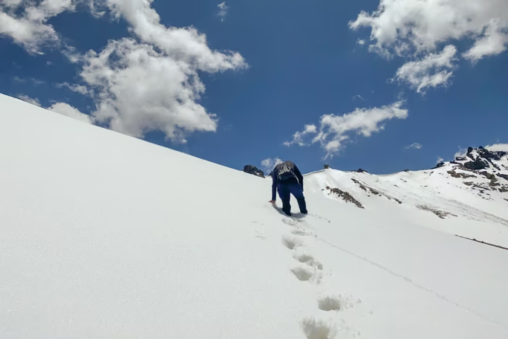
Yes, the Pamir Highway is generally safe for adventurous travelers, but it is not the kind of road trip where you can completely switch your brain off. This is a remote, high-altitude journey through the mountains of Tajikistan, and the biggest risks tend to come from the environment, road conditions, altitude, and remoteness rather than crime.
The Pamir Highway passes through some of the most isolated parts of Central Asia. There are long stretches without reliable cell service, medical facilities can be hours away, and road conditions can change quickly after landslides, rockfall, or heavy rain. At higher elevations, altitude sickness is also a real concern, particularly around Murghab and the eastern Pamirs.
As of 2026, unrest over the border in Afghanistan has happened near to the border. In general, happenings in Afghanistan have not been a concern for those traveling along the Pamir Highway.
Is the Pamir Highway safe for solo travelers?
Solo travel on the Pamir Highway is possible, but transportation is where things get complicated. If you’re driving yourself, you’ll need to be comfortable with rough roads, basic vehicle maintenance, navigation, and potentially long stretches without help.
For independent travelers, shared 4x4s are often the easiest option. You can arrange a vehicle and driver in advance or find other travelers to split the cost. Traveling with others also gives you a little more backup if something goes wrong.
The security situation along the Pamir Highway is generally calm on the main tourist route, although the Tajikistan-Afghanistan border region is sensitive and conditions can change. Always check current travel advisories before setting out and follow local restrictions, particularly around border areas.
What are the biggest risks?
Altitude: Much of the route sits above 3,000 meters, with mountain passes climbing significantly higher. Take time to acclimatize and don’t underestimate symptoms of altitude sickness.
Road conditions: Some sections are paved, while others are rough dirt or gravel tracks cut into steep mountainsides. Landslides and rockfall can occasionally make roads impassable.
Remoteness: This is the big one. A minor problem that would be easy to deal with in a city can become a major headache when you’re several hours from the nearest town.
Weather: Mountain weather can change quickly, even during the summer travel season. Snow, rain, flooding, and freezing temperatures are all possible at higher elevations.
Border areas: Parts of the route run close to Afghanistan and other sensitive border zones. Stick to established routes and don’t wander toward restricted areas.
Driving: If you’re hiring a car without a driver, be realistic about your experience. The Pamir Highway isn’t the place to learn how to handle a vehicle on a narrow mountain road.
Despite all of this, I found the Pamirs to feel much less intimidating once I was actually there. Villages are scattered along the route, locals are accustomed to travelers passing through, and other 4x4s and travelers tend to appear at the most unexpected moments. The remoteness is part of what makes the journey special, but it’s also why a little preparation goes a very long way.
Is Tajikistan safe? Click here to read more
Should You Book a Pamir Highway Tour?
Whether you should book a Pamir Highway tour depends largely on how much independence you want versus how much logistical hassle you’re willing to take on.
You don’t need an organized tour to experience the Pamir Highway. It is entirely possible to arrange your own transportation, accommodation, permits, and homestays. That said, putting the trip together independently can take some work, particularly if you’re traveling alone.
Book a Pamir Highway tour if…
A tour is a good choice if you:
- Are traveling solo and don’t want to organize a private 4×4
- Want transportation, accommodation, and permits arranged for you
- Don’t want to deal with negotiating prices locally
- Have limited time in Tajikistan
- Prefer having a driver who knows the roads
- Want to meet other travelers
- Don’t feel comfortable navigating remote mountain roads yourself
The biggest advantage is simplicity. Someone else deals with the logistics while you can concentrate on staring out the window and wondering how a road managed to be carved into that particular cliff.
Travel independently if…
Independent travel makes more sense if you:
- Want complete flexibility with your itinerary
- Are comfortable with basic travel logistics
- Have plenty of time
- Want to spend longer in villages or side valleys
- Are happy using shared taxis and local transport
- Want to control your budget
- Enjoy figuring things out as you go
One particularly good middle ground is hiring a 4×4 with a driver privately and organizing your own accommodation. You get the flexibility of independent travel without having to worry about navigating the more difficult sections of the highway yourself.
What I would recommend
For a first trip along the Pamir Highway, I’d personally lean toward a 4×4 with a local driver rather than a fully organized group tour. You still have plenty of freedom to stop for photos, change the pace, and spend extra time somewhere you like, while your driver handles the road.
If you’re traveling solo, finding one or more other travelers to share the vehicle can also dramatically reduce the cost. Many travelers arrange a shared 4×4 between Dushanbe and Osh, or vice versa, and split the vehicle and driver costs.
The Pamir Highway is one of those trips where the journey itself is the destination. You don’t necessarily need a polished tour package to experience it. You just need reliable transportation, the right permits, enough time, and a healthy respect for the mountains.
Why I Love the Pamir Highway
The Pamir Highway is one of those journeys where the road becomes the destination. There are higher mountains elsewhere, smoother roads elsewhere and certainly easier ways to get from Dushanbe to Osh. That’s not really the point.
What makes the Pamir Highway special is the combination of altitude, isolation, scenery and the communities scattered along the route. One day you’re following the Panj with Afghanistan visible across the river, and the next you’re bouncing across a barren plateau more than 4,000 meters above sea level.
I’ve traveled this route several times and still don’t feel like I’ve exhausted the Pamirs. That’s partly because the M41 is only the beginning. Once you start looking at the valleys branching away from the highway, there are enough side trips, treks and remote communities to keep you busy for weeks.
If you’re planning your first trip, use the M41 as your backbone, give yourself more time than you think you’ll need, and leave some room for the unexpected. The Pamirs have a habit of making their own itinerary.
Have Any Questions Not Answered About Traveling the Pamir Highway?
Ask your Pamir Highway questions in the comments below!
Posts from Tajikistan
Vorukh: A Guide to Tajikistan’s Enclave
Shir Khan Bandar Border Crossing Guide
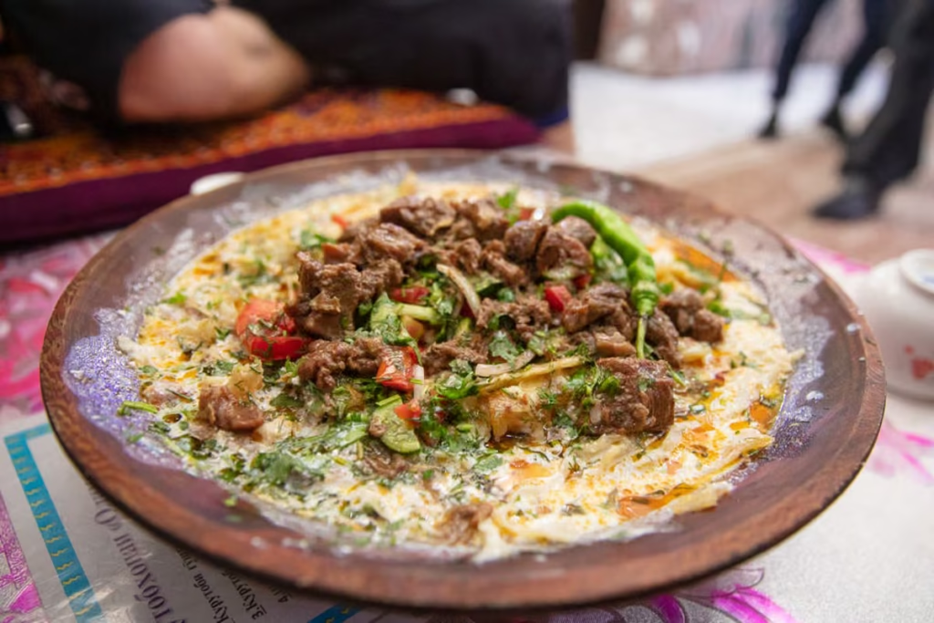
Tajik Food: 20+ Traditional Dishes
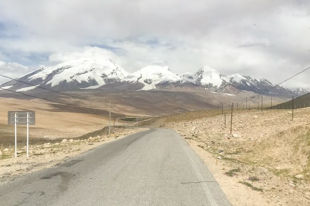
Qolma Pass: Tajikistan to China Guide
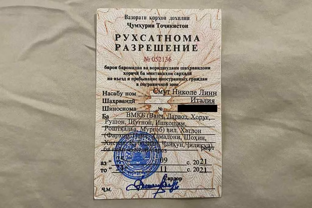
GBAO Permit: How to Get One
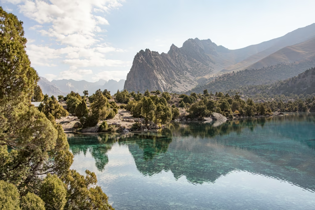
Lakes Loop, Tajikistan Hiking Guide
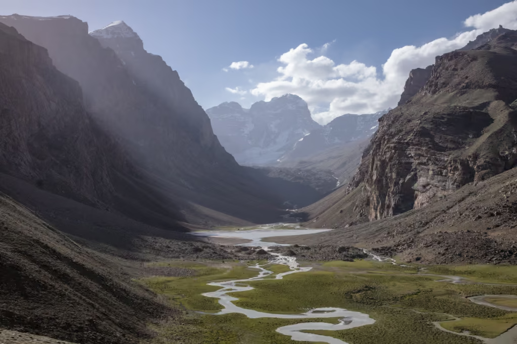
Pik Engles Hike: Tajikistan Trek Guide
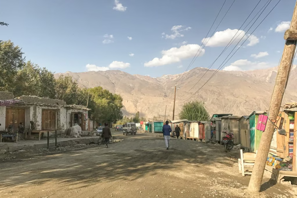
Tajikistan Border Crossings Guide
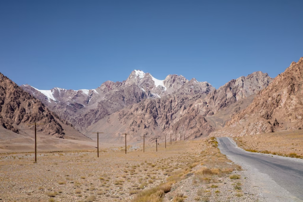
Pamir Highway Guide: M41 Route
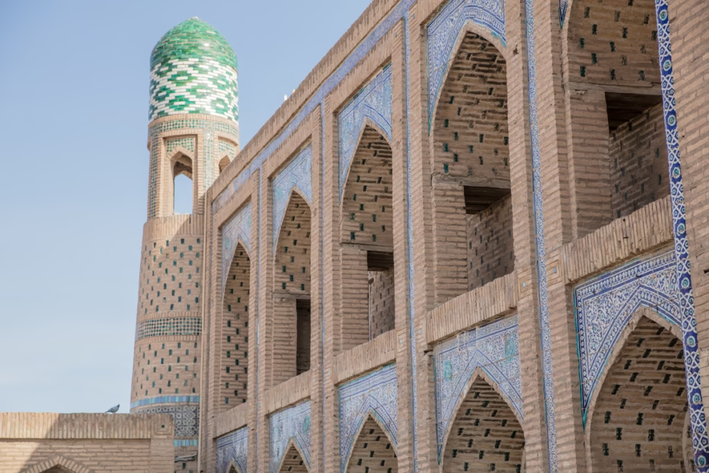
Tajikistan Uzbekistan Itinerary: 2 Weeks
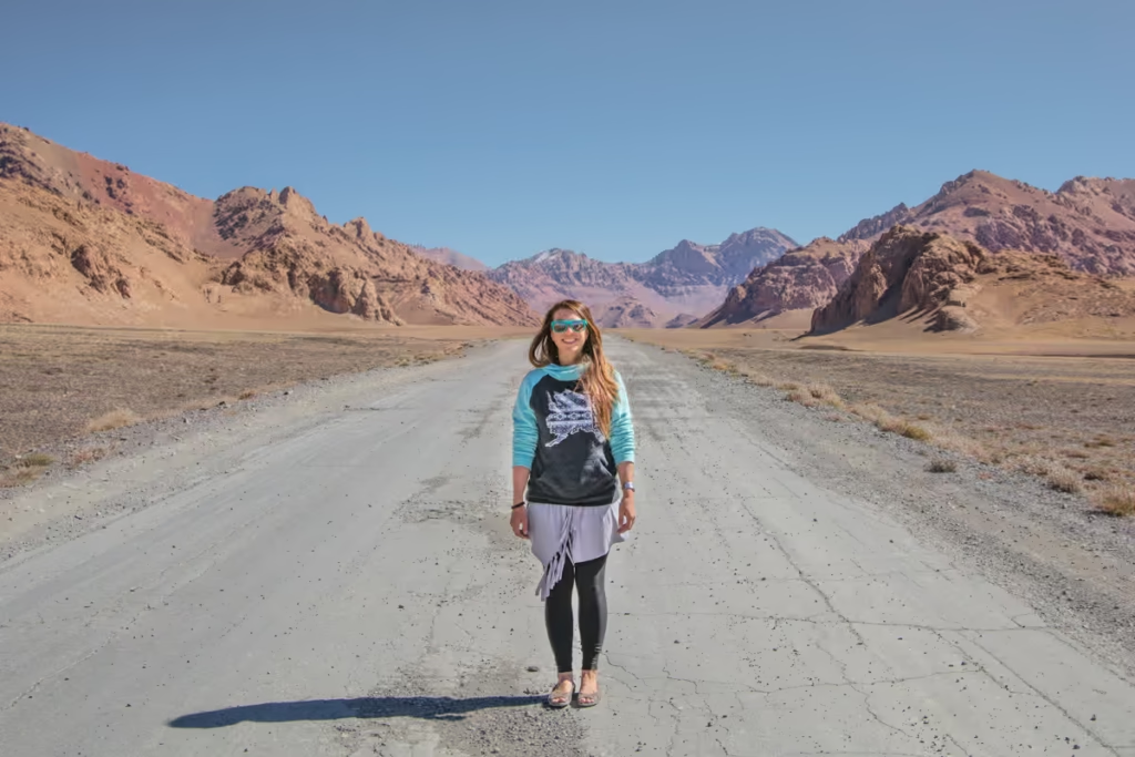
Solo Female Travel in Tajikistan
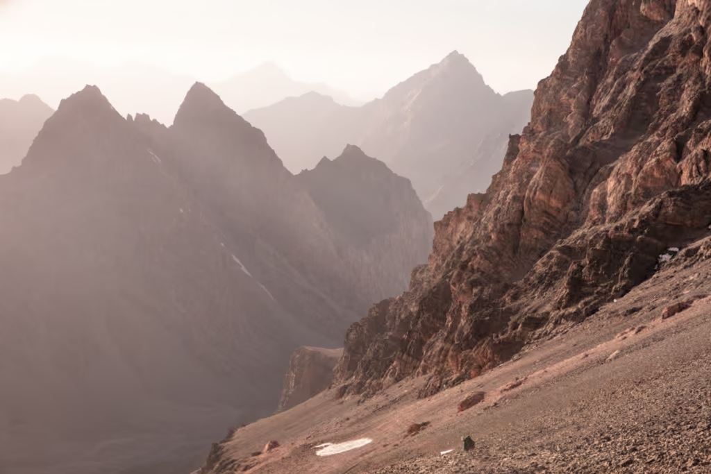
Chimtarga Pass Trek Guide | Tajikistan
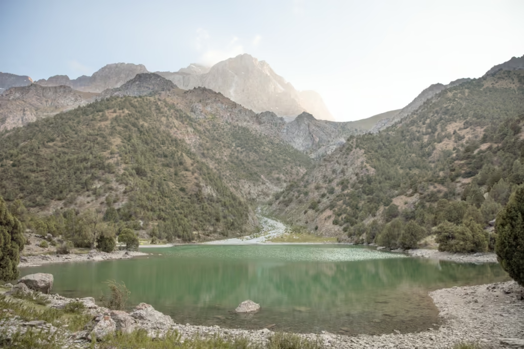
Best Hikes in Tajikistan
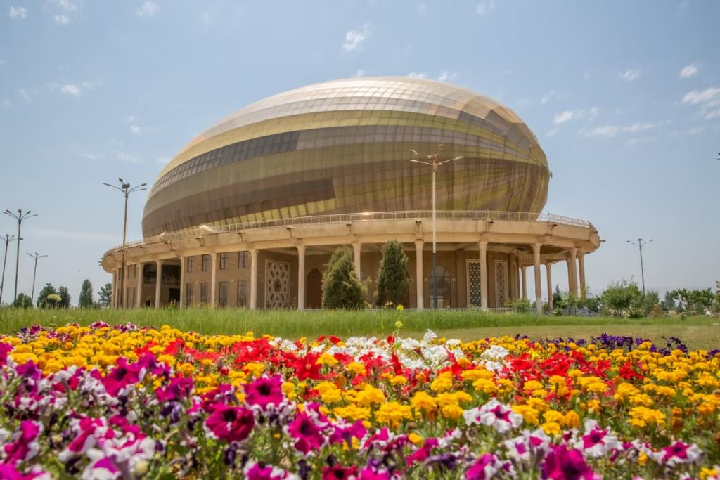
Dushanbe Day Trips
Solo Female Travel in Central Asia
Jizeu, Tajikistan: Trek & Travel Guide
Tajikistan Travel Guide: Plan Your Trip
Dushanbe Travel Guide & Things to Do
Dushanbe Mosaics: Soviet-Era Art in Tajikistan
2 Week Tajikistan Itinerary
3 Week Tajikistan Itinerary
4 Week Tajikistan Itinerary
10 Day Tajikistan Itinerary
1 Week Tajikistan Itinerary
Panjakent Travel Guide: Things to Do

OVIR Registration in Tajikistan: Dushanbe Guide
Panjakent-Samarkand Border Crossing Guide
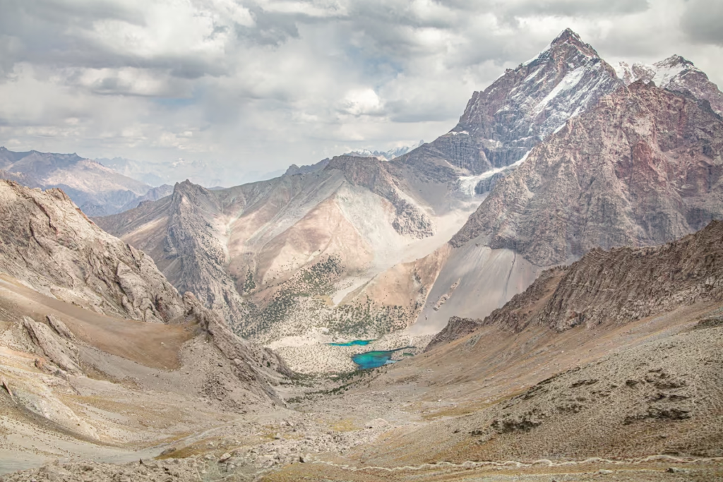
Fann Mountains Trekking Guide
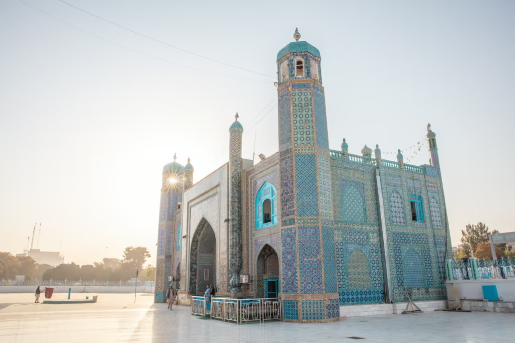
Central Asia Travel Guide
Tajikistan SIM & eSIM Guide
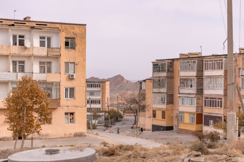
Shurab, Tajikistan: An Almost Forgotten City

Isfara-Batken Border Crossing Guide

Oybek Border Crossing: Tashkent to Khujand
Best Restuarants in Dushanbe | Where to Eat
Isfara Travel Guide, Tajikistan
Pamir Highway Itinerary: 10 Days from Dushanbe to Osh
Haft Kul: A Guide to the Seven Lakes of Tajikistan
Tajikistan Letter of Invitation (LOI)
Jarty Gumbez, Tajikistan: A Complete Travel Guide
How to Use Payment Terminals in Tajikistan

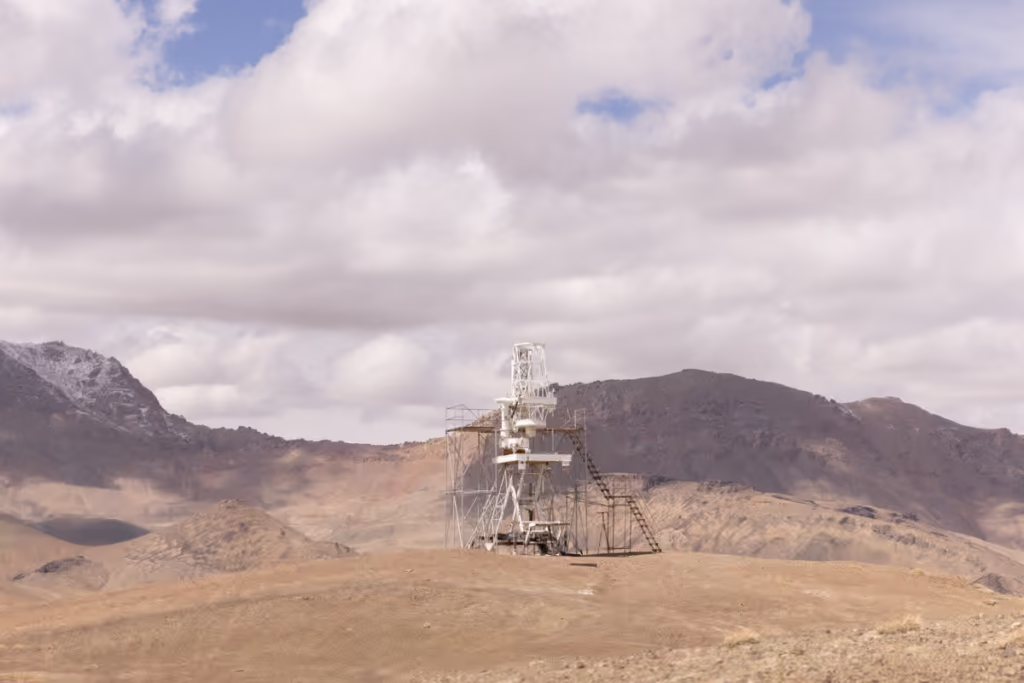
Shor Bulog Observatory, Tajikistan
Visiting Zorkul, Tajikistan
Visiting the Sary Khosar Nature Reserve
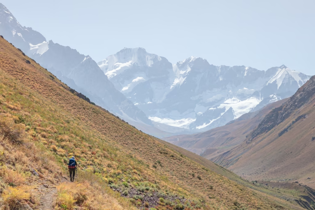
A Guide to Rasht Valley, Tajikistan
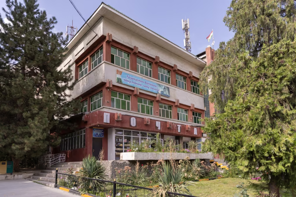
Soviet Architecture in Khorog
10 Essentials to Pack for Central Asia
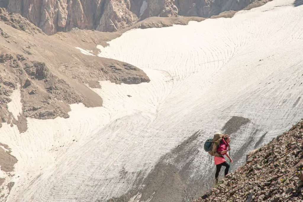
The Gardan i Kaftar Hike in Tajikistan’s Rasht Valley
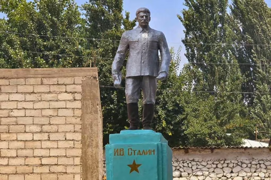
Stalin Statue in Asht, Tajikistan
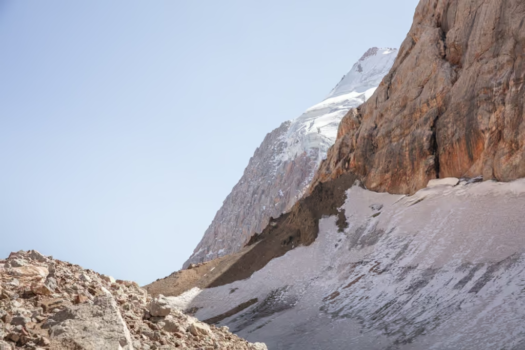
Crossing Dukdon Pass in Tajikistan’s Fann Mountains
nice information and good article thank you
Such a useful guide – the practical details on fuel and the stretch between Khorog and Murghab are exactly what I was looking for. Before planning a route like this I always spend some time with the map so the neighbouring countries and the big valleys stick in my head.